Search
WE-CAN Instrumentation Payload
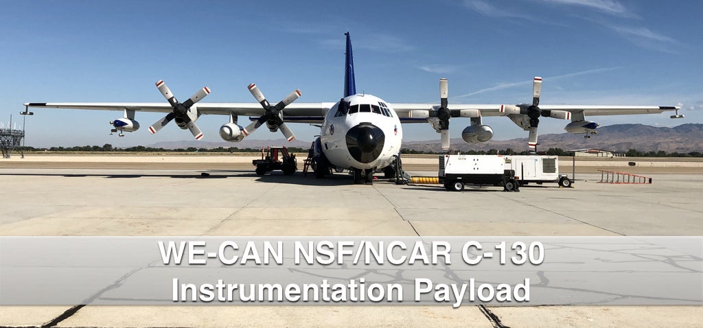
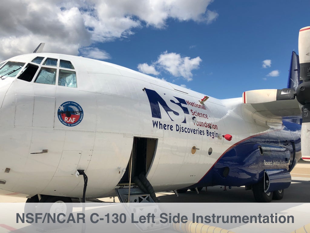
WE-CAN is using the NSF/NCAR C-130 research aircraft, essentially a flying laboratory, to conduct research flights over the Western U.S. from 22 July - 31 August 2018. The C-130 formerly served as a cargo plane, so it can carry a large payload of instruments while also having a range of more than 1500 miles and the ability to fly between 1000 – 15,000 feet in altitude. These aspects are essential to fully characterize the atmospheric chemistry of a region because smoke plumes can be far-reaching as winds transport them.
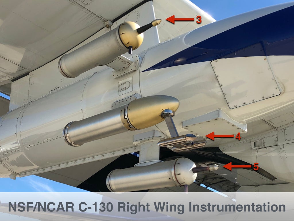
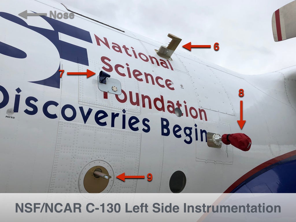
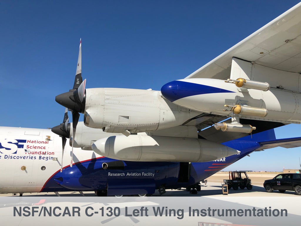
For each field project, a specialized suite of instruments is uploaded to the aircraft to meet the research needs of the study. As part of WE-CAN, the C-130 will carry a suite of state-of-the-art instruments designed to measure a range of aerosols and cloud particles, trace gases, atmospheric radiation, and meteorological parameters such as temperature and winds.
Click images to enlarge.
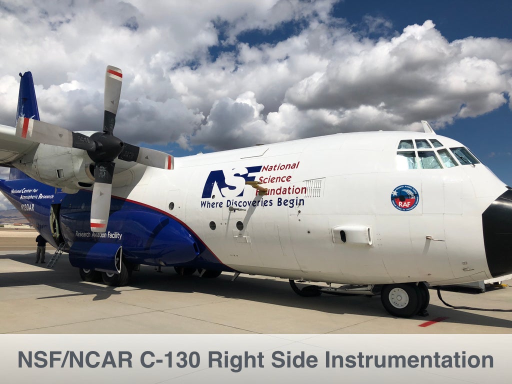
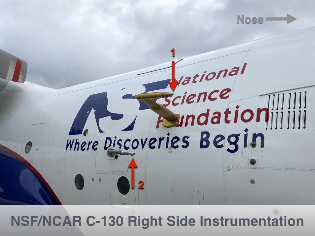
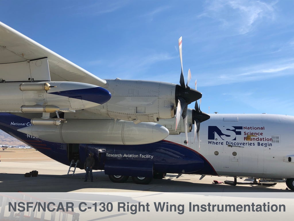
Right-side Instruments and Inlets
 |
 |
 |
Left-side Instruments and Inlets
 |
 |
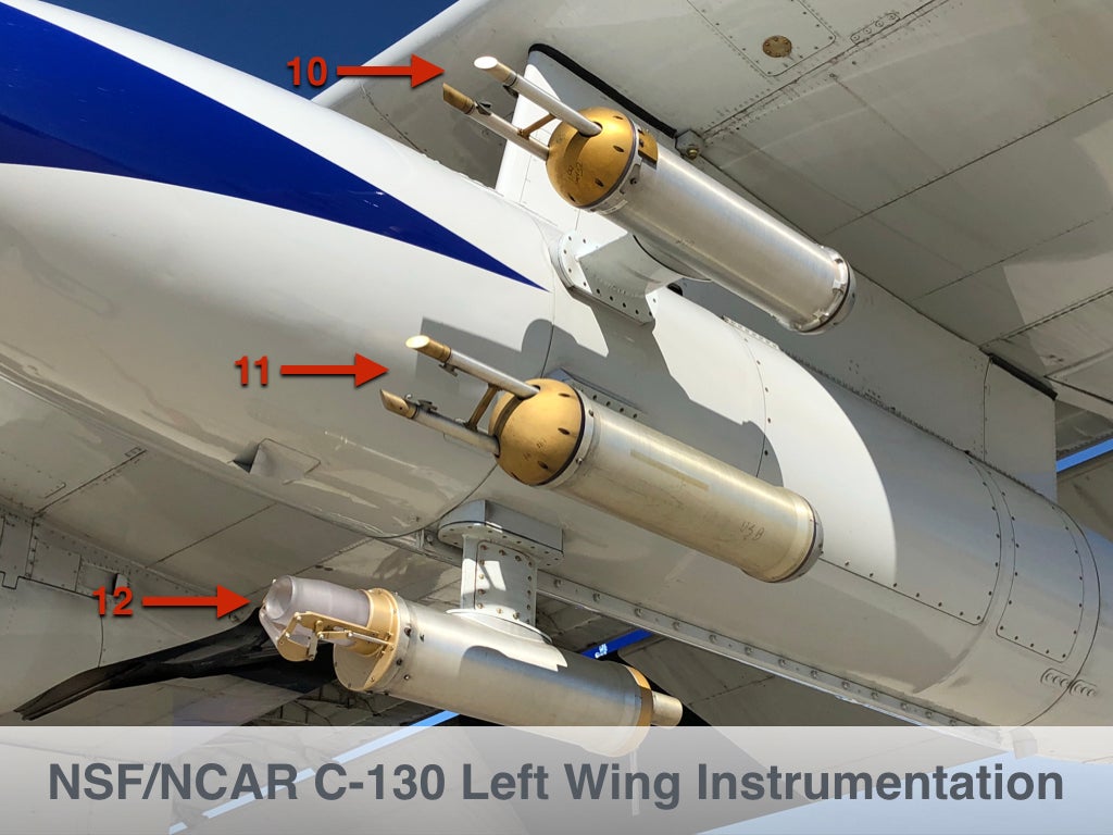 |
|
Belly Instruments and Inlets
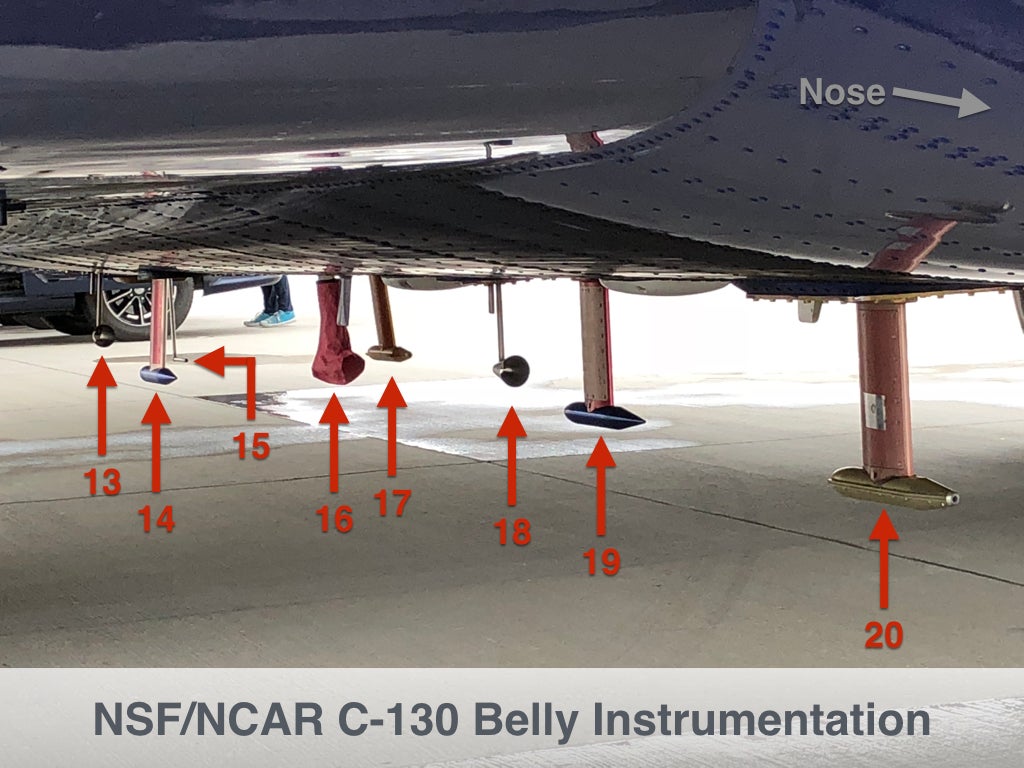
|

Field Project Eclipse 2019
Photo Gallery
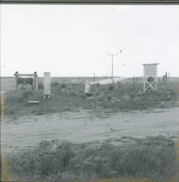
FIELD SITE
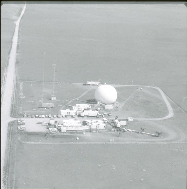
Aerial view of the National Hail Research Experiment research site.
Northeast views of the National Hail Research Experiment research site.
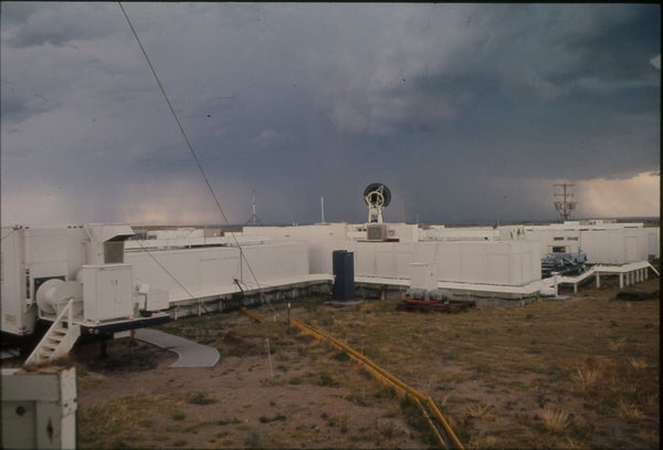
NHRE field site.
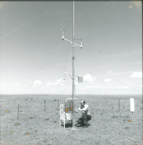
Research site at Pawnee National Grassland.
Research site
FIELD EQUIPMENT
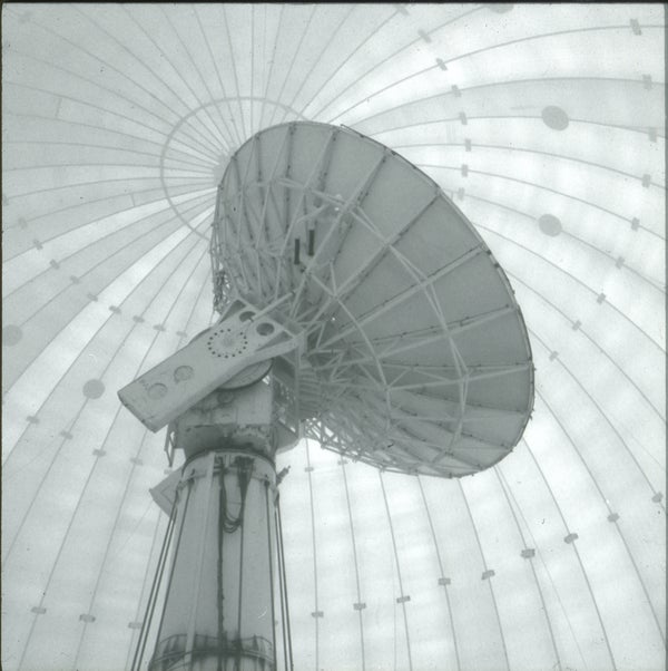
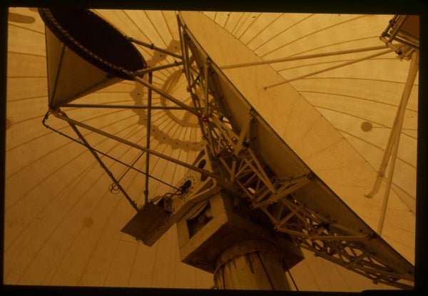
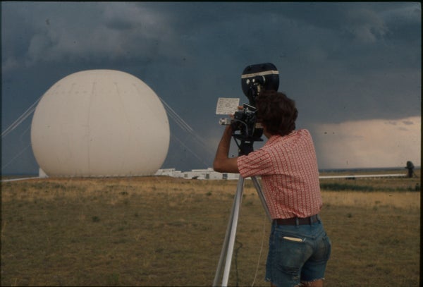
Inside the CP-2 Radome.
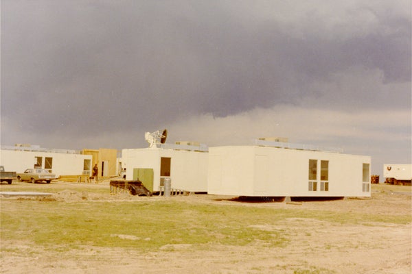
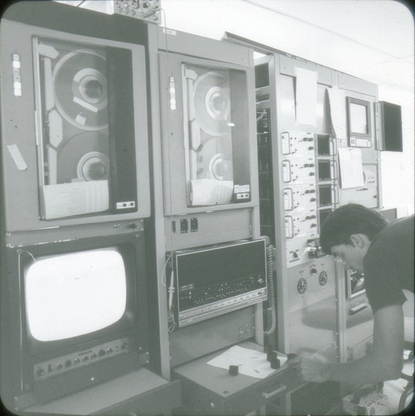
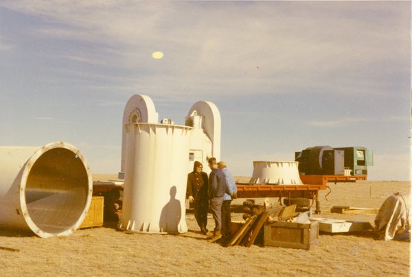
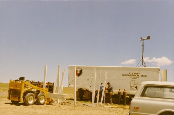
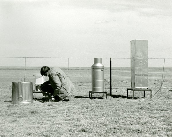
Field Equipment.
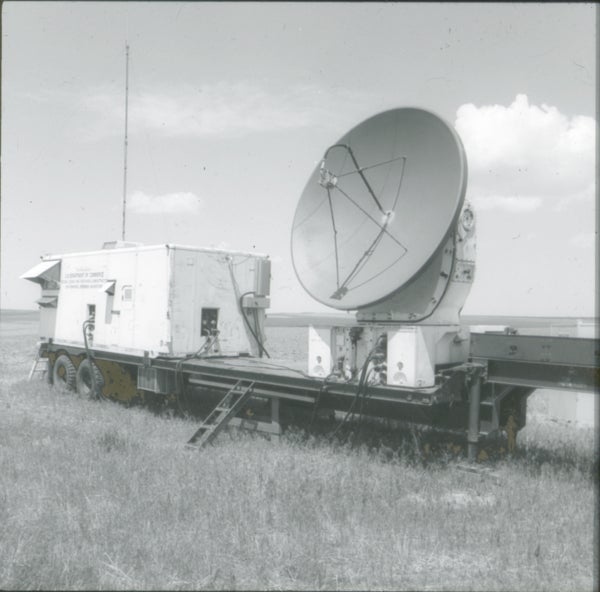
Field Equipment.

Field Equipment.
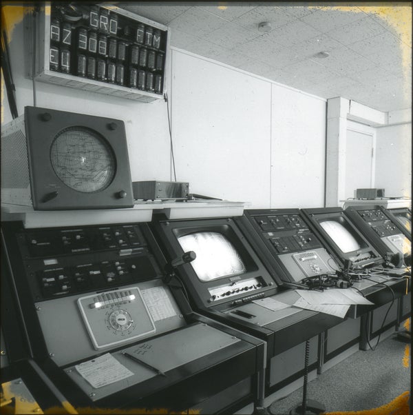
Control equipment at a research facility.
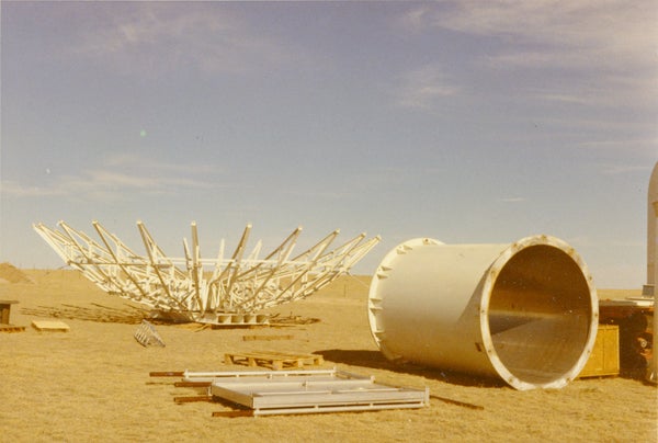
Partly assembled antenna.
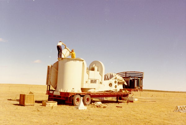
Radar antenna tractor being unloaded.
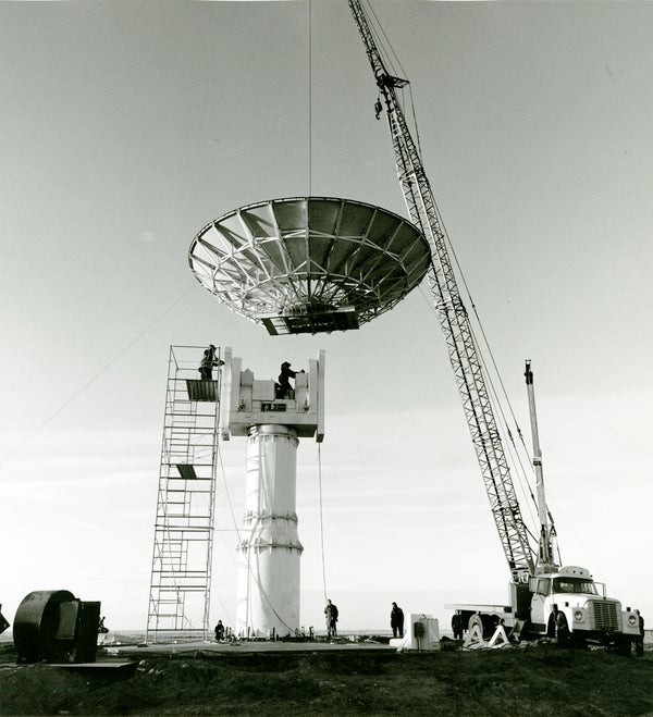
Antenna being assembled.
Antenna pedestal.
Communications antenna.
Field equipment.
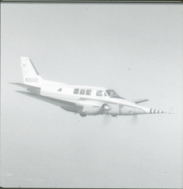
NCAR Queen Air N304D.
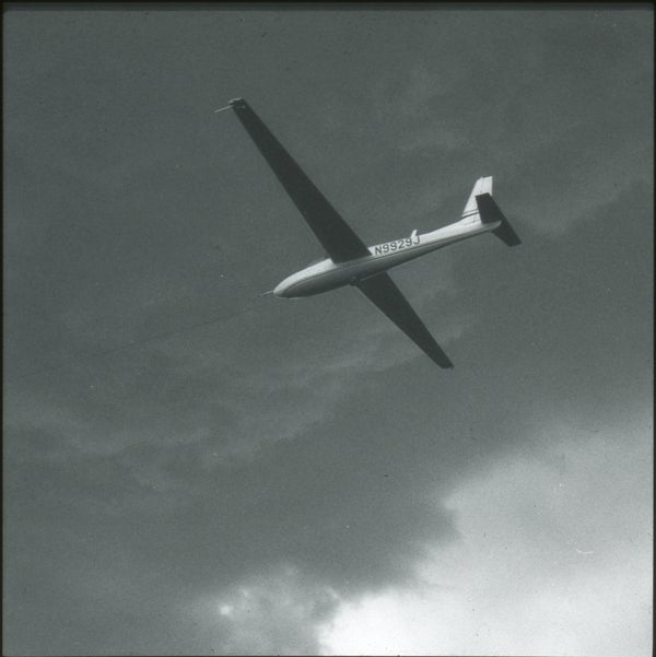
NOAA/NCAR Sailplane N9929J.
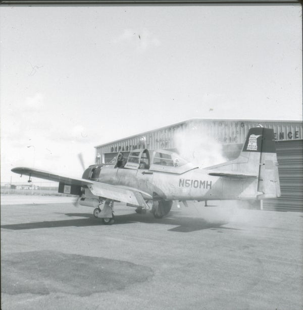
South Dakota School of Mines & Technology T-28 N510MH.
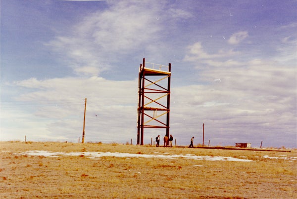
Tower at New Raymer.
![]()
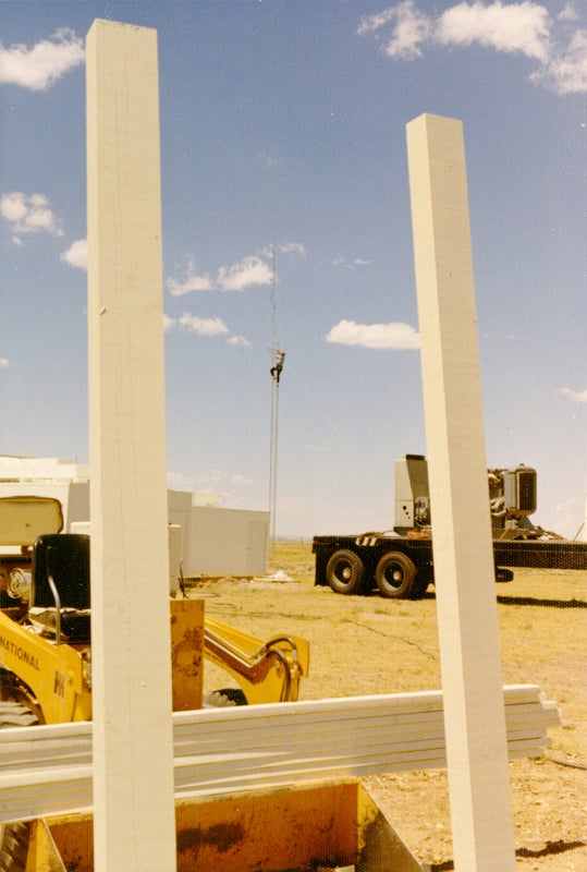
Transformers in place.
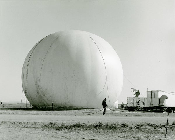
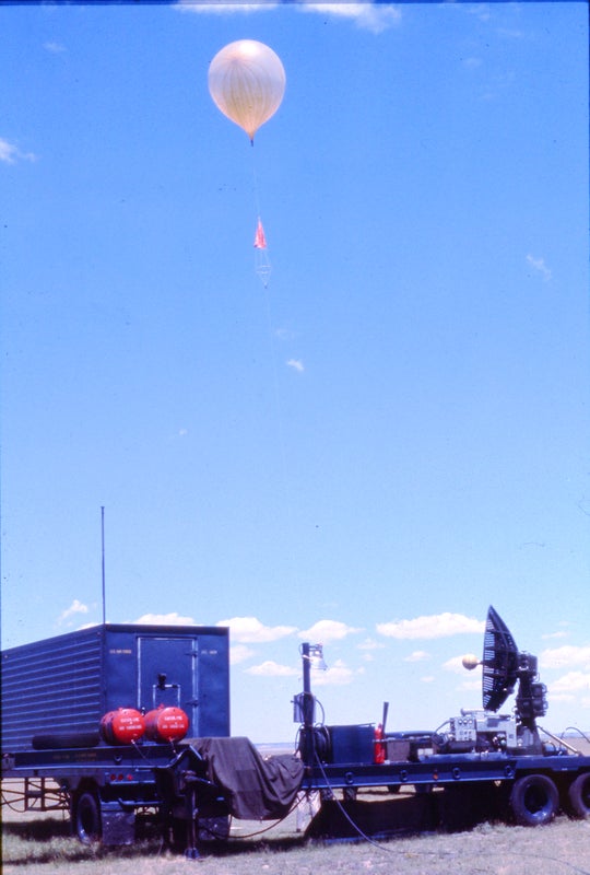
Balloon launch enclosure.
STAFF
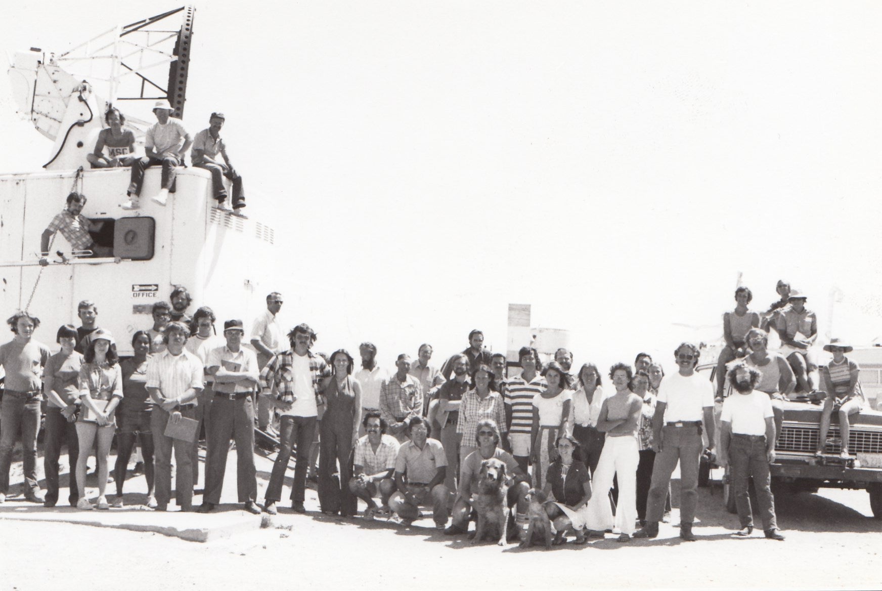
Group Staff Photo taken at Grover, CO, Summer 1976
NCAR worker in field.
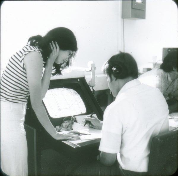
Staff on site.
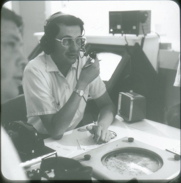
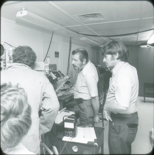
Staff at work.
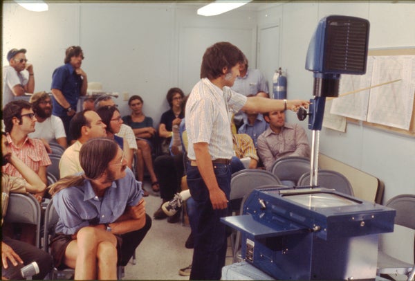
Staff meeting.
Staff member documenting the field site.
Staff members.
Staff members.
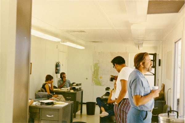
Administrative unit interior.
OPERATIONS
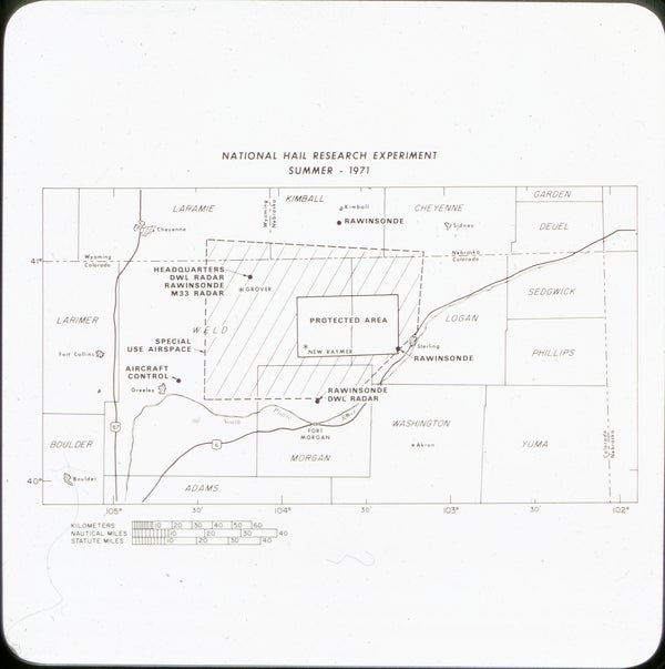
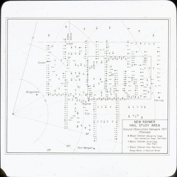
NHRE study area and NHRE New Raymer hail study area
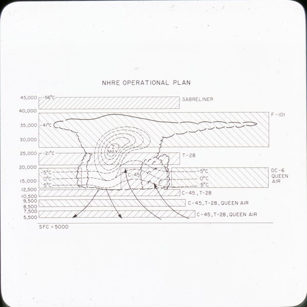
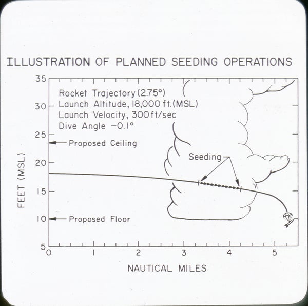
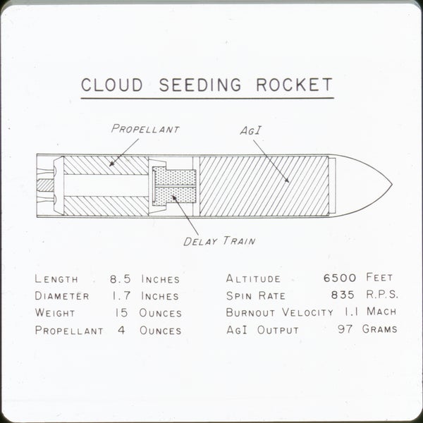
NHRE operational plan, NHRE cloud seeding operation, NHRE cloud seeding rocket
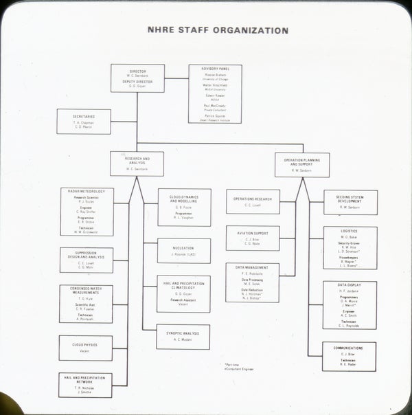
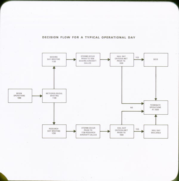
NHRE staff organizational chart and Decision-making flowchart for a typical operational day
All photos copyright University Corporation for Atmospheric Research unless otherwise noted.


