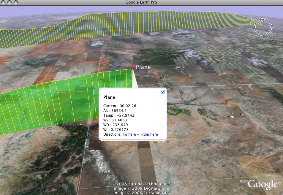
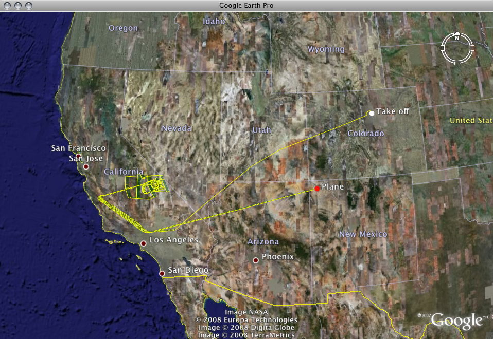
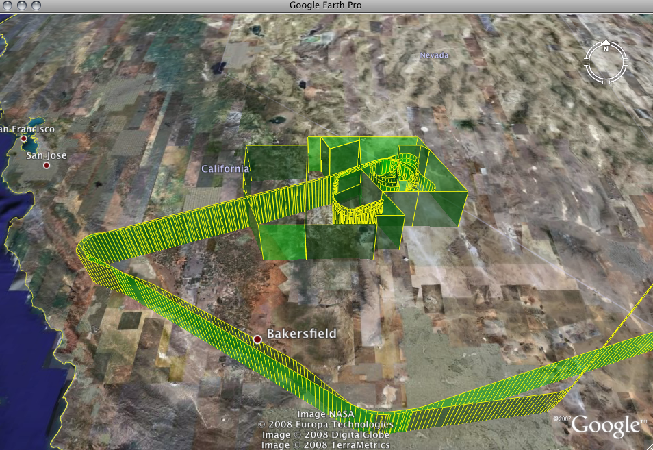
The live flight tracking system uses Google Earth .kml files created in real time by GPS systems on board both aircraft to draw a live 3D track over the earth mapping software. Through this system you can see the aircraft's speed, altitude, track and position among other data readout displays. These measurements change from project to project and may include altitude above ground, wind speed and direction, dew point temperature, concentration of CO2 and CO or other data of interest to the project scientists.
To follow the flights you need to do the following:
- Install Google Earth
Make sure you have Google Earth installed. If you don't, it's free and takes just a few minutes to download it.
- Download the NSF/NCAR HIAPER GV Flight Tracking kml file or the NSF/NCAR C-130 Tracking kml file
Once you've installed Google Earth, download the Flight Tracking kml file from the EOL website. (A "kml file" is the type of file used by Google Earth.)
If the flight track and live data stops during a flight of an aircraft, this is most likely caused by a technical error on our part or a data link failure between the aircraft and the ground.
- After you have Google Earth installed and have downloaded the kml file, simply open the kml file in Google Earth and you are set! You only need to download the kml file once - it will check in with our server once every 10 seconds for updates. Afterwards, whenever you receive a notification that the GV is in the air, just open up Google Earth and select "Tracking the GV" from "My Places" in the left panel of Google Earth. Enjoy the flights
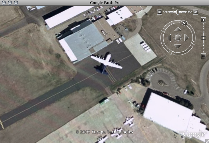
When running Google Earth, you will see an interface like the figures below that updates every minute with the latest flight track. When there are no current flights or during times that the real time satellite data feed is down, you may use FlightAware to track the aircraft's history or future flight plans.