April 5, 2010
 The HIPPO study was able to reach the Antarctic Circle (66° south) during the flight to the southern polar regions, and back to Christchurch, NZ which is the farthest south that the project has been able to study the atmosphere.
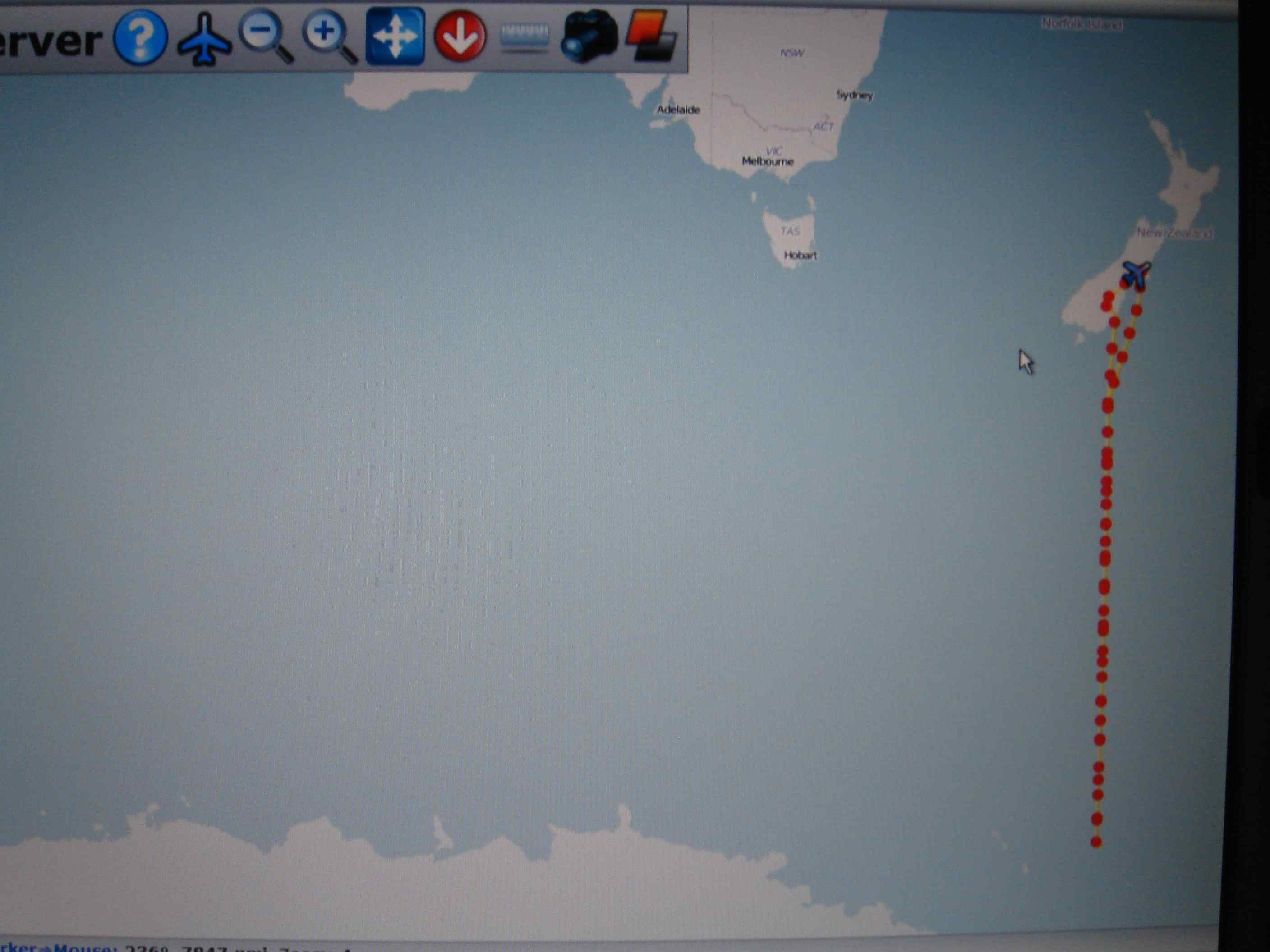
The reason that the flight track image above looks like the NSF/NCAR GV only went a short distance away from New Zealand is that the satellite coverage of Google Earth in the southern and northern polar regions is not the best. The track in the image above is the outbound (yellow) and the last hour of the inbound (red) flight linked by a short yellow vertical line.
During the inbound flight, the GV did a fly-over at New Zealand's National Institute of Water and Atmosphere (NIWA) Lauder Reaserch Station, to help provide them with a complete vertical profile of the atmosphere from the ground to the altitude that the GV was flying. So while the GV passed overhead, the ground station took measurements as well, which can collectively provide a complete vertical profile to altitudes that can not be achieved by the ground instruments
VIDEO: RF 06 Forward Looking Camera
