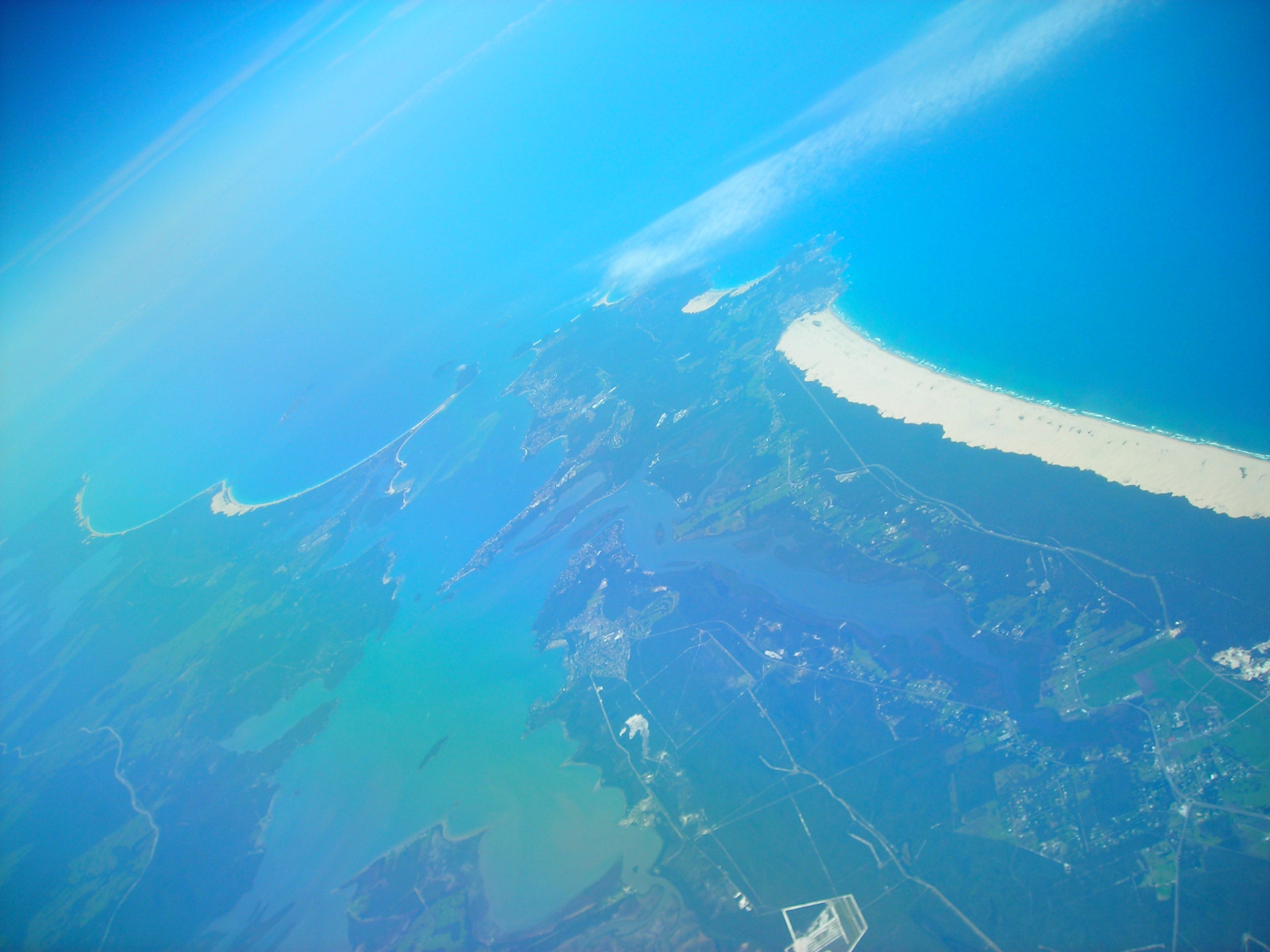
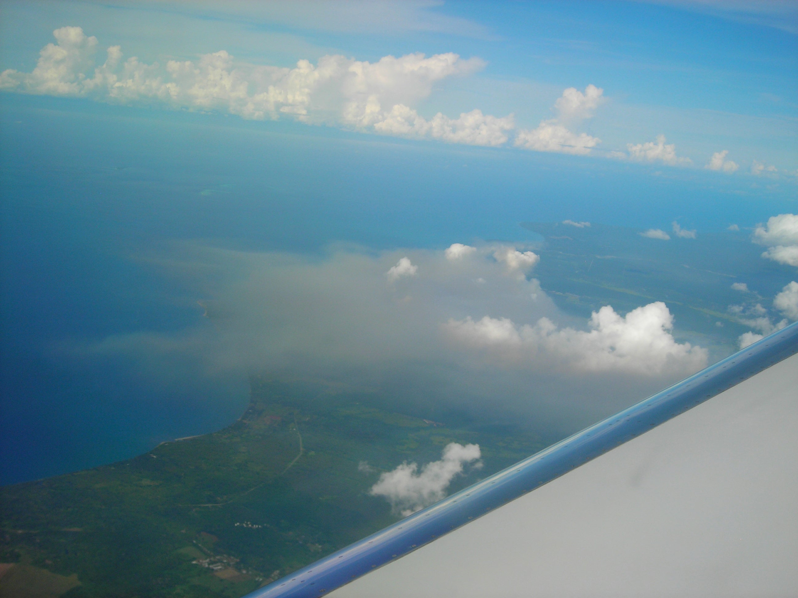
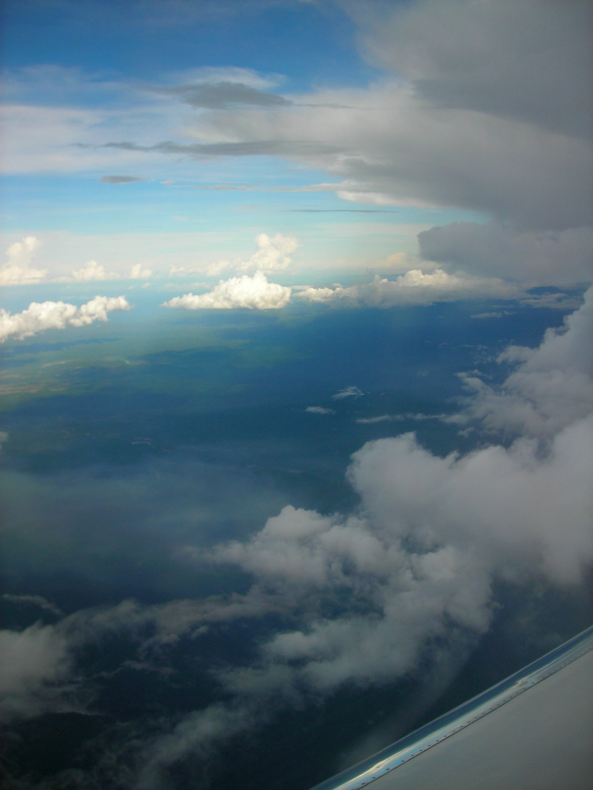
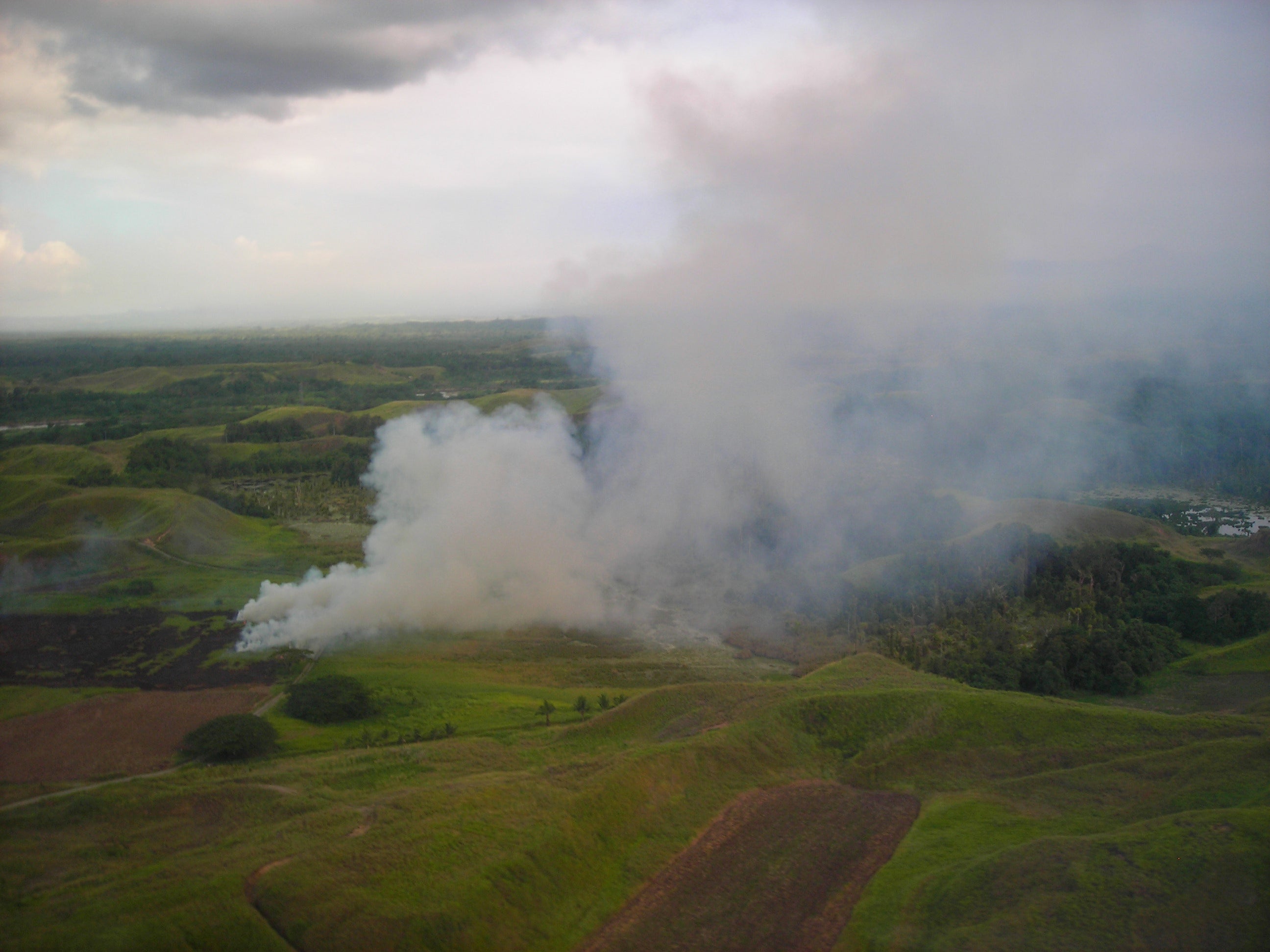
The NSF/NCAR GV has successfully completed RF07 (Research Flight #7) from Christchurch, New Zealand to Honiara, Solomon Islands. The flight path had the GV traveling northwest out of Christchurch, New Zealand towards Wollongong, New South Wales, Australia where the GV performed a "missed approach", and then north to Honiara, Solomon Islands.
The Instruments aboard the GV are working well, with a few glitches that will be addressed on the maintenance day. In particular, VCSEL had a "bug" (literally) and lost light intensity later in the flight due to an insect impact on its leading edge. The remains of the bug cleaned off the lower mirror easily and the laser intensity returned. CO instrument had a computer freeze in flight 1.5 hours prior to landing, and was also checked out on the maintenance day. All of the instrumetns have been serviced and are functioning properly for optimal sampling.
The NSF/NCAR GV will depart Honiara on RF08 on November 17, 2010 at 10 am and is expected to arrive in Kona at 9:30 pm on November 16, 2010 as the the HIPPO project travels east across the International Date Line. (Welcome to the time travel on the GV!)
Video: RF07 Forward Looking Camera


