Remote Sensing Facility (RSF)
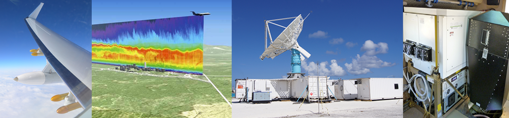
EOL's Remote Sensing Facility serves the observational needs of the atmospheric science community by developing radar and lidar instrumentation and software, and deploying them to sample atmospheric phenomena.
- Engineering and technical expertise within RSF is essential for developing the next generation of remote sensors, including a suite of airborne and ground-based radars and lidars.
- Software engineers in RSF develop radar and lidar software, and software formats and standards. They include software for data transformation and visualization, and algorithms and techniques for retrieving atmospheric products from remote sensor observations.
- RSF scientists perform fundamental and applied atmospheric research primarily utilizing RSF instrumentation. Scientific support and expertise within RSF are essential for developing the necessary vision to anticipate new observational needs and collect and provide research-quality data.
Remote sensing instrumentation
RSF has a long history of developing and deploying remote sensors such as the now retired ELDORA, CP2, CP3, and CP4 radars or the SABL, REAL, and LAMS lidar systems. (Data images from the decommissioned instruments.) Currently RSF is responsible for advancing, operating, and maintaining the following ground-based and airborne remote sensing instruments:

HIAPER Cloud Radar (HCR)
The HIAPER cloud radar (HCR) is an airborne, polarimetric, millimeter-wavelength radar that serves the atmospheric science community by providing cloud remote sensing capabilities to the NSF/NCAR HIAPER Gulfstream V aircraft.
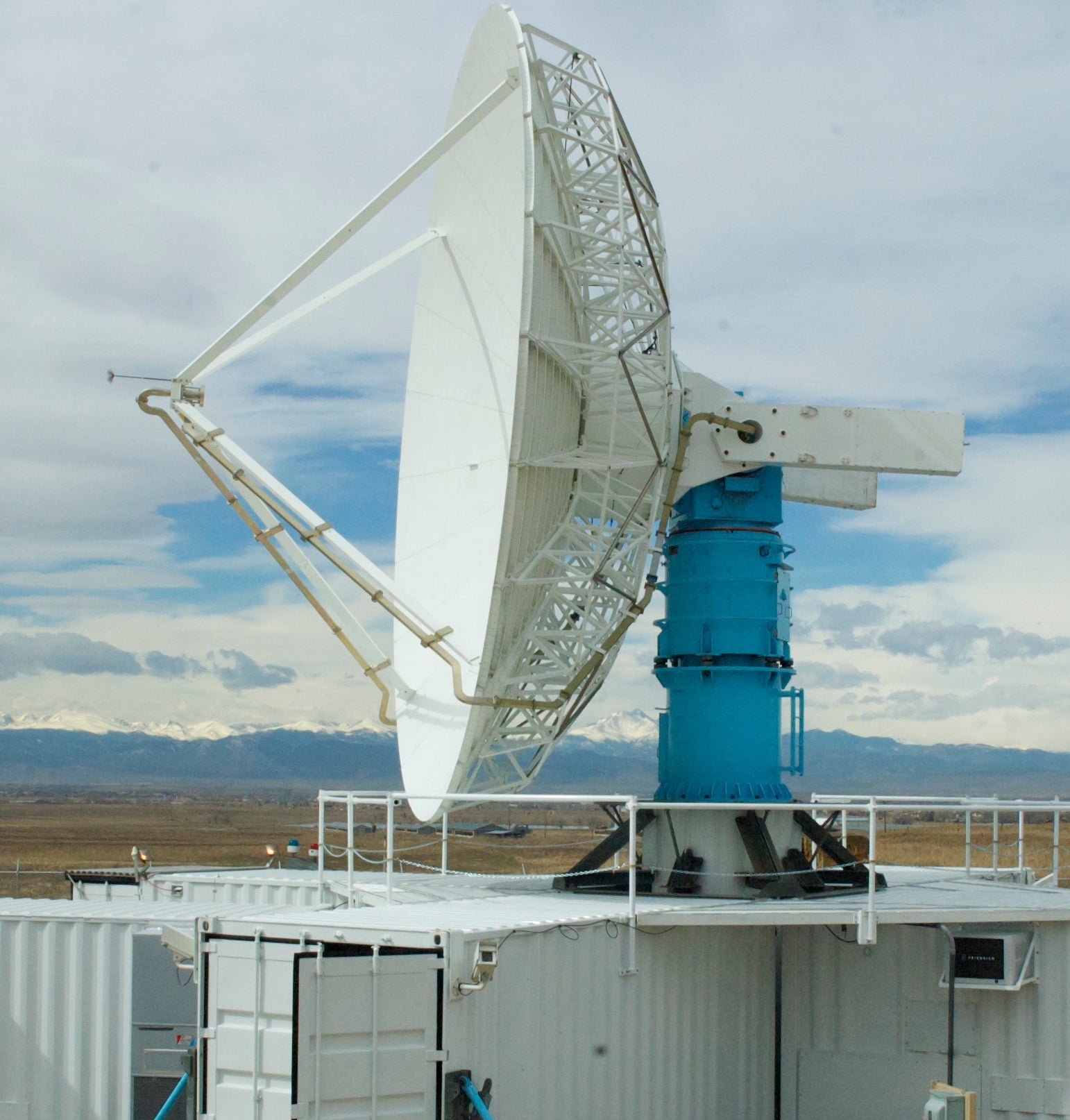
S-band Dual-Polarization Doppler Radar (S-Pol)
The S-band Dual Polarization Doppler Radar (S-Pol) is a research-grade, transportable, ground-based, dual-polarized, Doppler weather radar. S-Pol observations provide high-resolution information about precipitation rates, microphysics, and storm structures and kinematics.
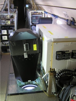
GV High Spectral Resolution Lidar (GV-HSRL)
The Gulfstream V High Spectral Resolution Lidar (GV-HSRL) is an eye-safe, self-calibrated lidar that can measure backscatter coefficient, extinction coefficient, and depolarization properties of atmospheric aerosols and clouds. It is deployed on the NSF/NCAR HIAPER Gulfstream V aircraft.
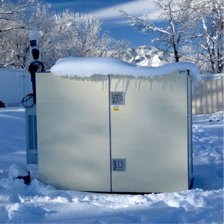
MicroPulse Differential Absorption Lidar (MPD)
The Micro-Pulse Differential Absorption Lidar (MPD) is a compact, field-deployable, eye-safe lidar that offers continuous unattended monitoring of water vapor, temperature, and quantitative cloud/aerosol properties in the lower troposphere.
RSF is also one of the leading developers of the NSF funded Airborne Phased Array Radar (APAR) currently under developmentat NSF NCAR.
Software and data processing
LROSE
RSF provides high-quality, open source software to the community of scientists, researchers, educators, and operational organizations using atmospheric lidars, radars, and profilers. The Lidar Radar Open Software Environment (LROSE) is an end-to-end software solution that handles all data processing steps for radar and lidar data such as the collection of raw data with the instrument, quality control, or the creation of advanced scientific data products.
NEXRAD data quality project
RSF scientists and software engineers have a long-standing collaboration with the National Weather Service to enhance the data quality of the observations collected by the NEXRAD (NEX- Generation RADar) radar fleet. NEXRAD radars are continuously operated all over the United States and are crucial for weather nowcasting and severe weather warnings.
History of Lidar at NCAR
Since 1963, NCAR has worked to transform complex laser physics into rugged, autonomous tools for the meteorological community. From early ruby lasers mapping the stratosphere to the current generation of MicroPulse DIAL (MPD) systems, this 60-year history tracks the reduction to practice of remote sensing technology.