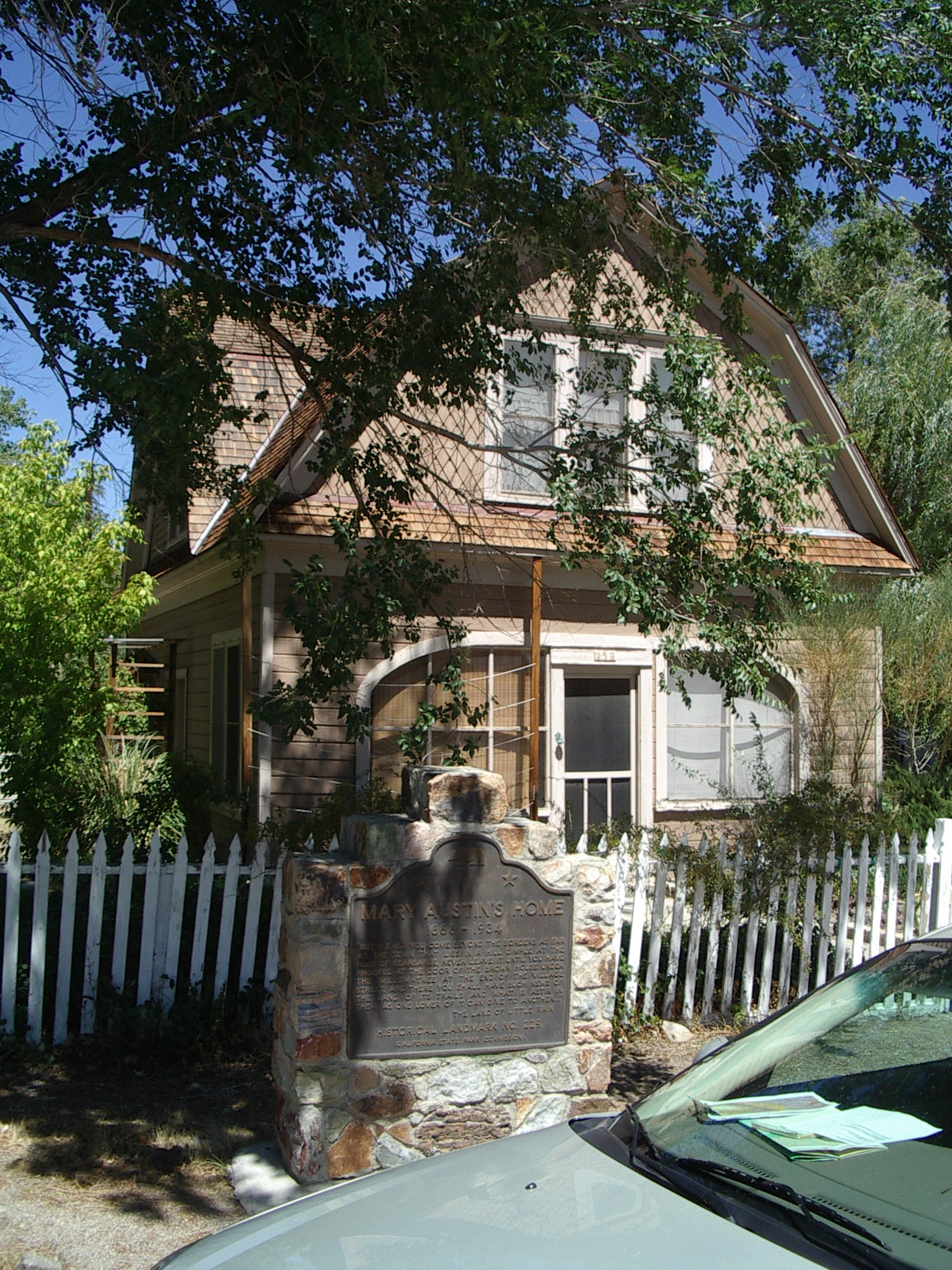
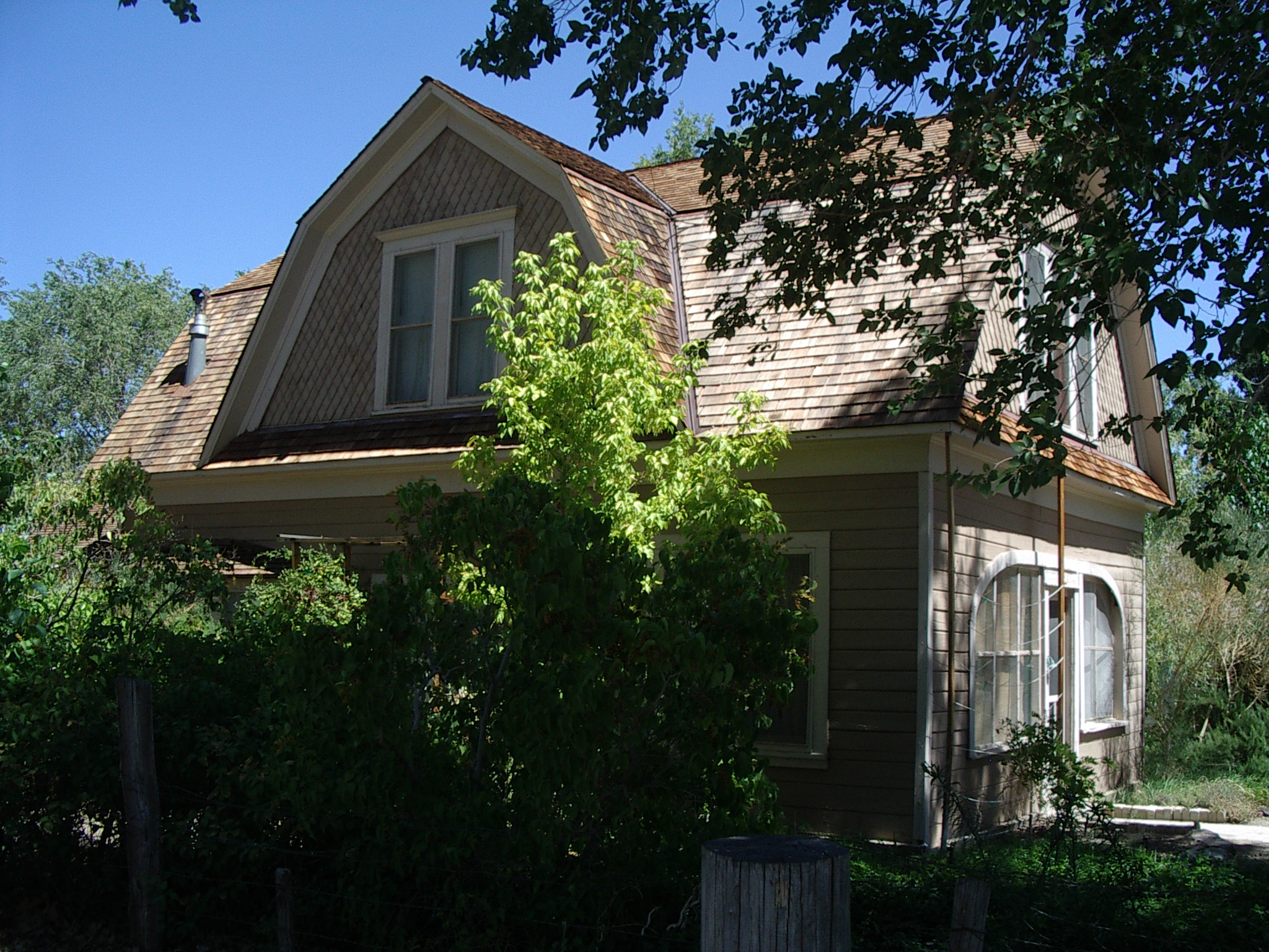
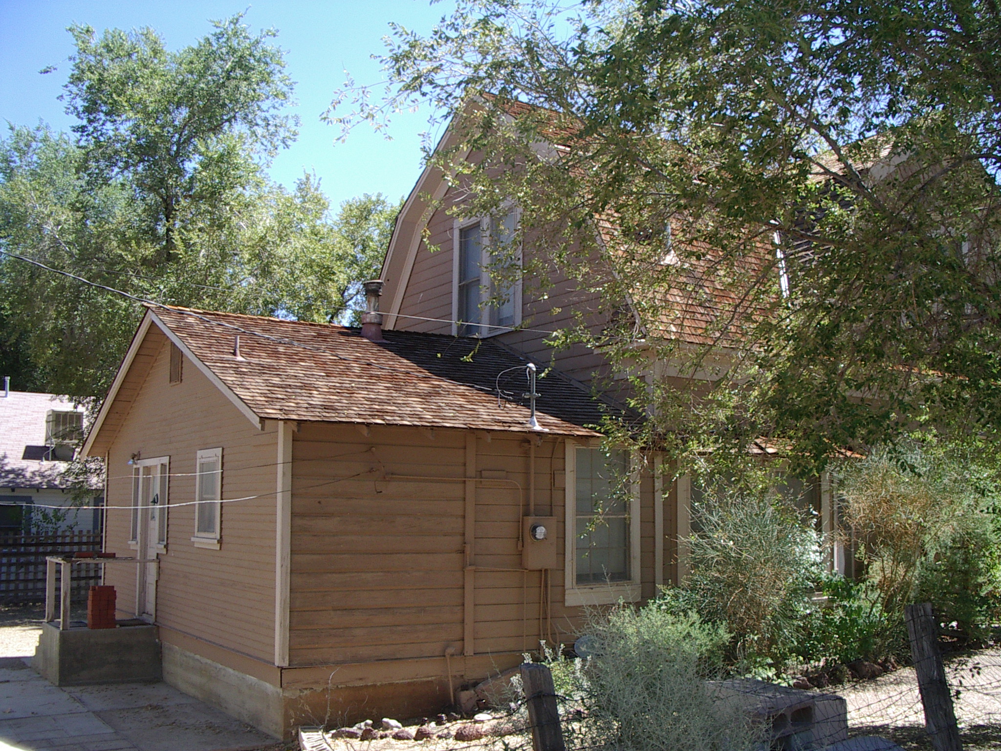
Places we hope to use:
***Independence School [internet access]
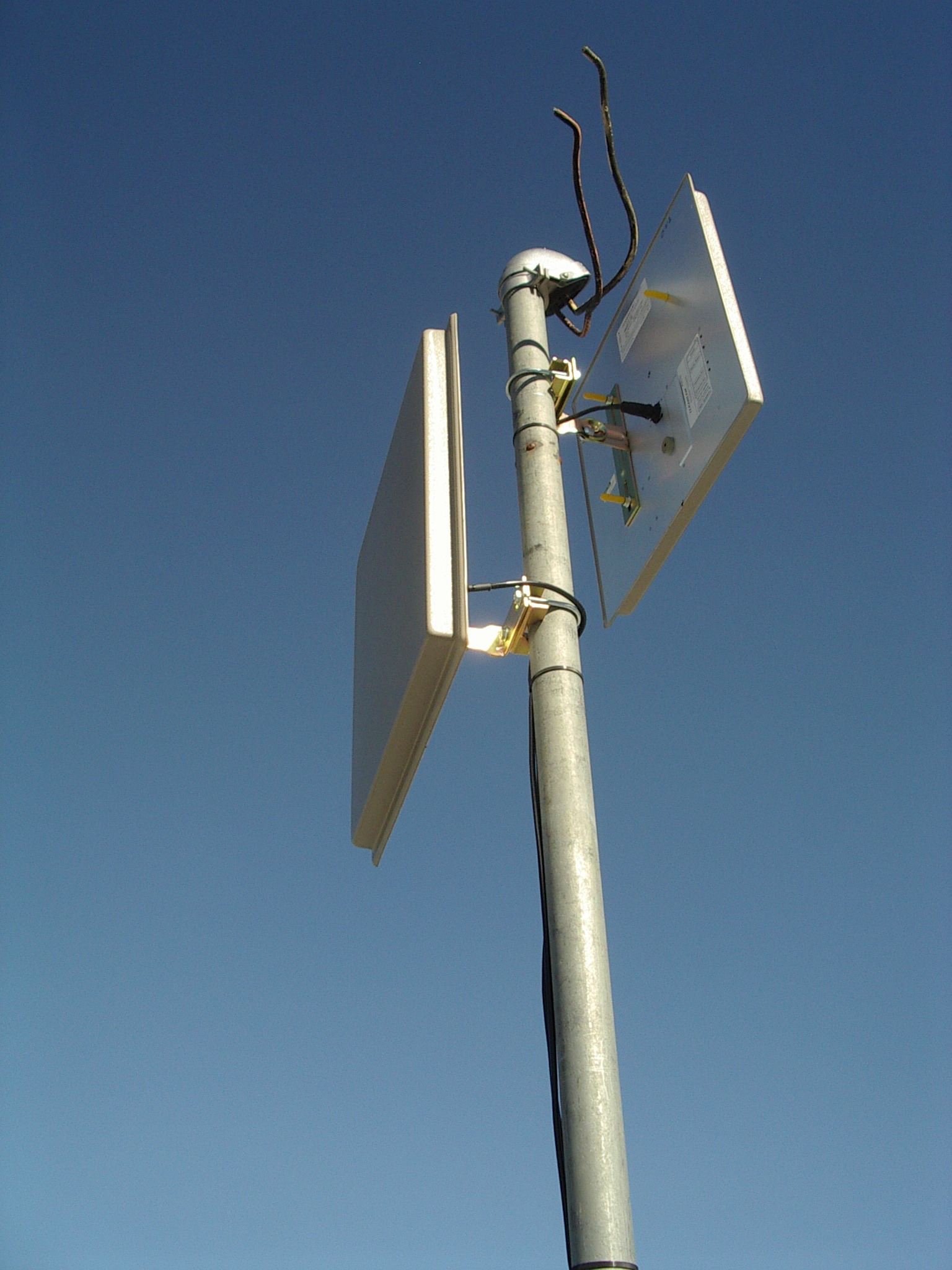
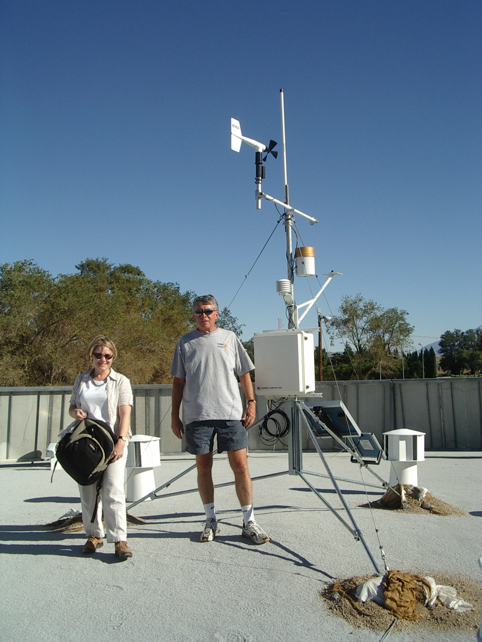
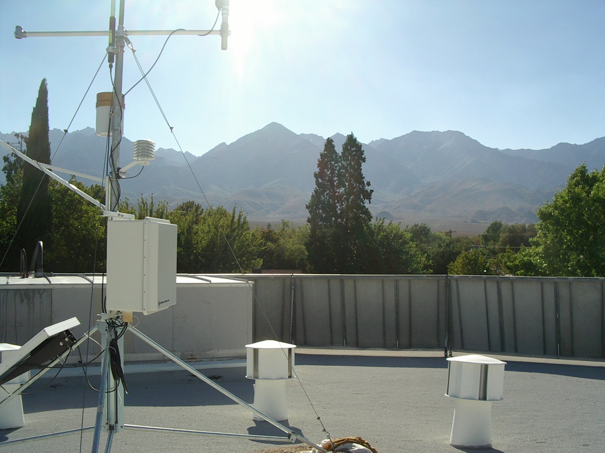
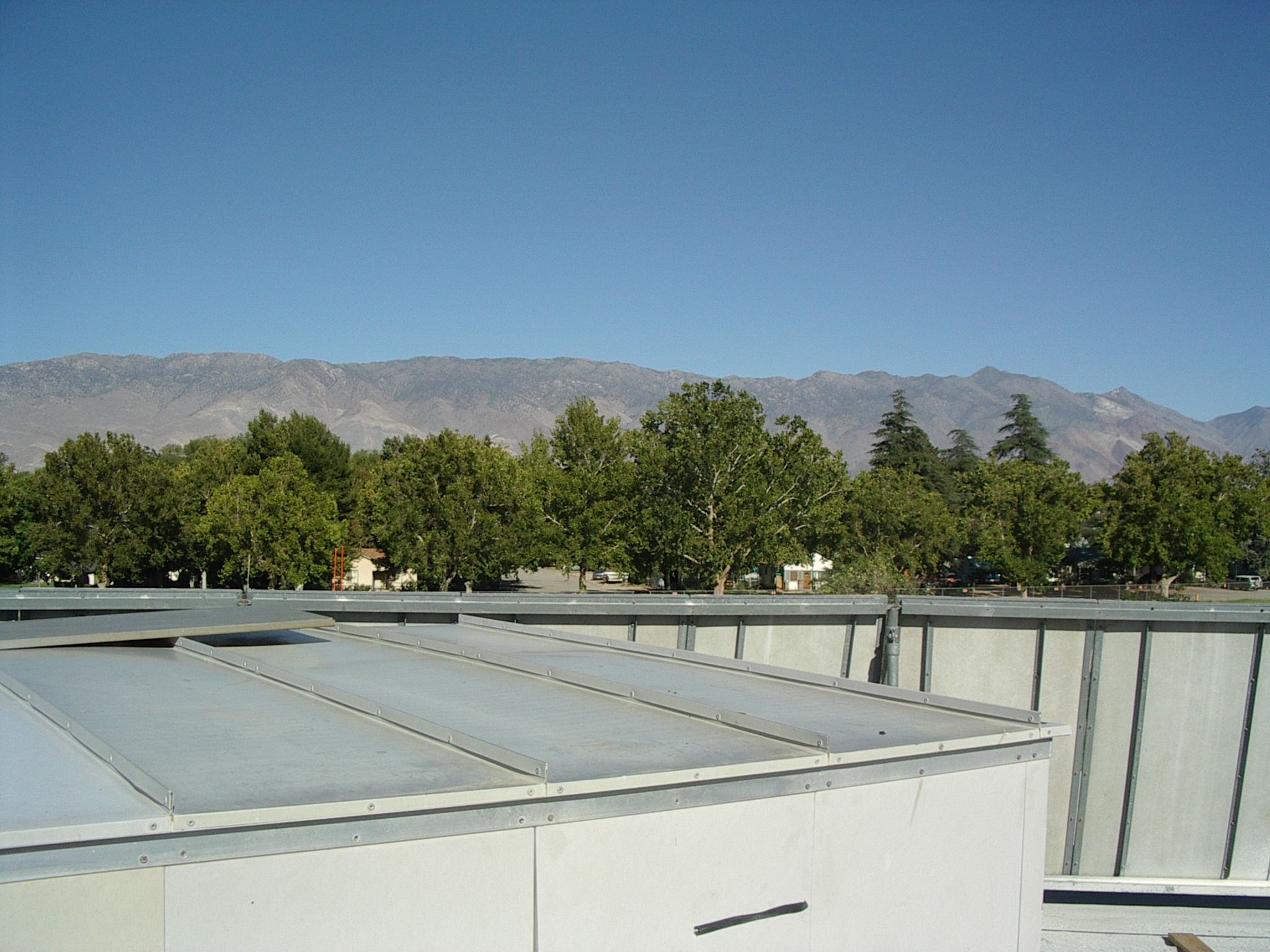
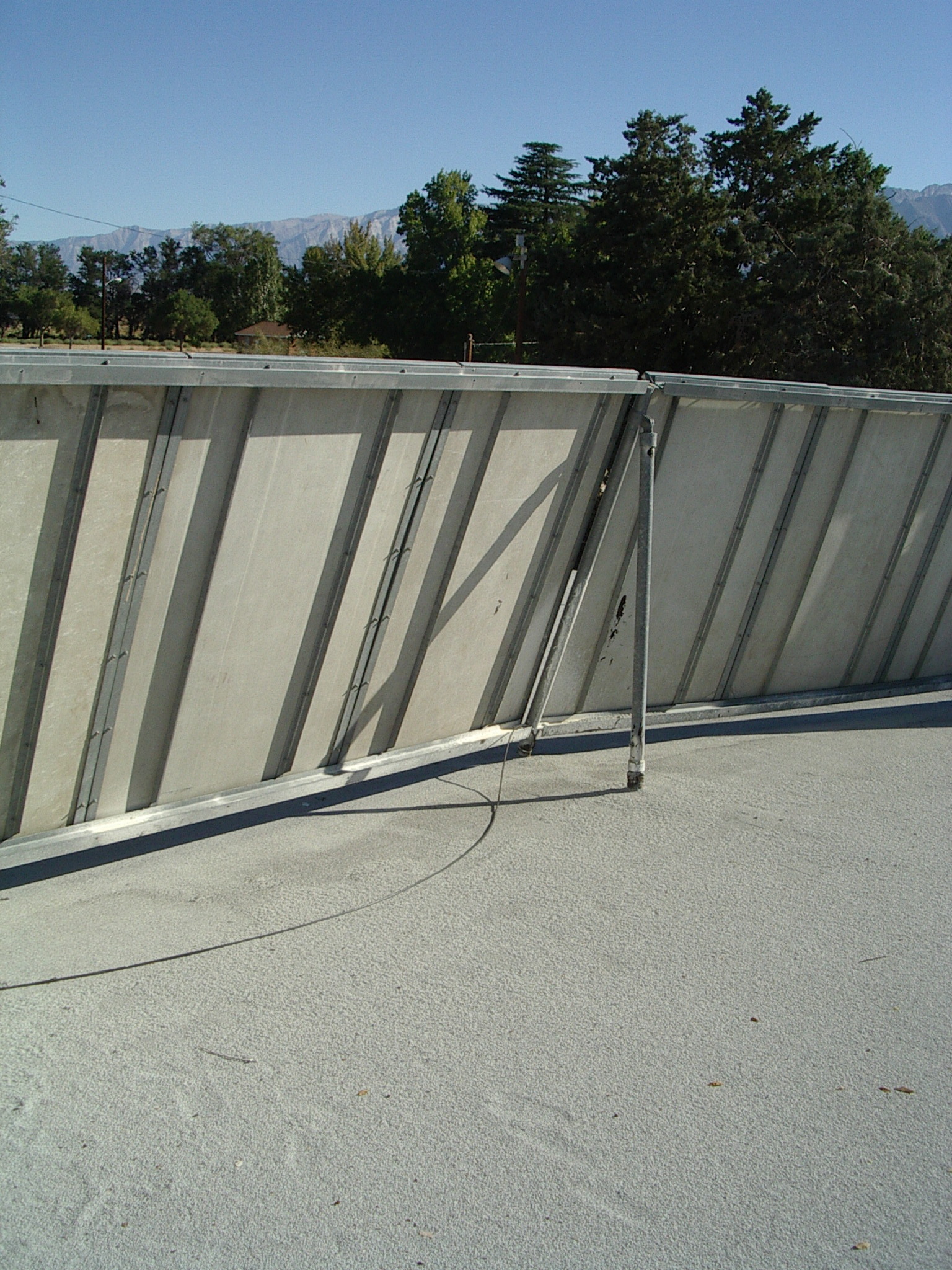
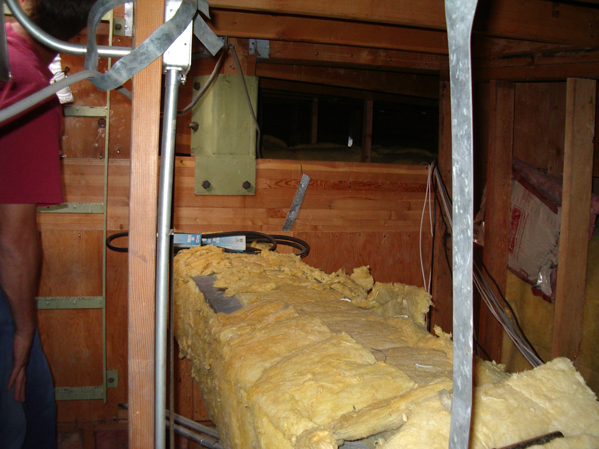
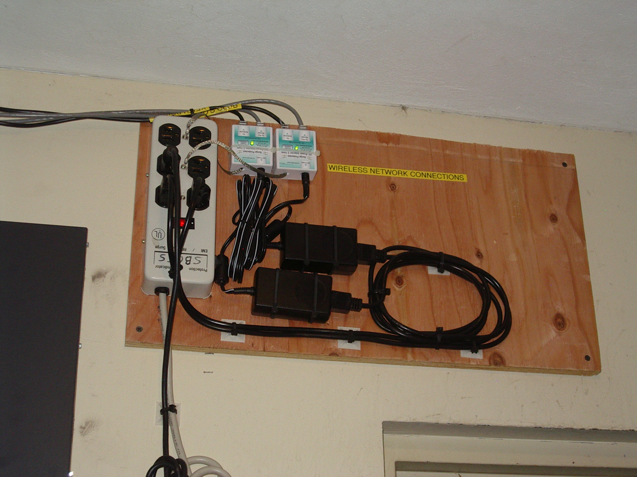
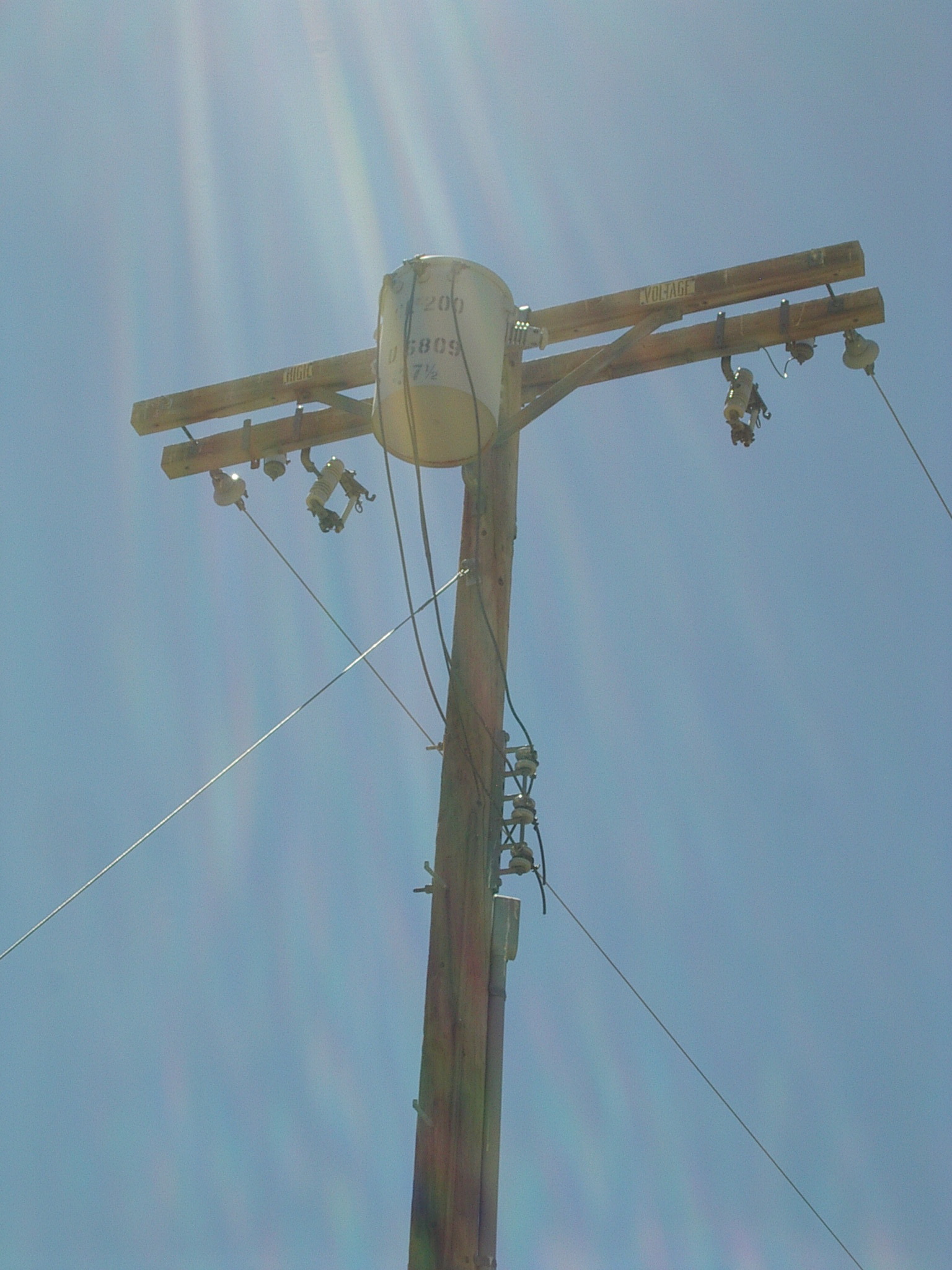
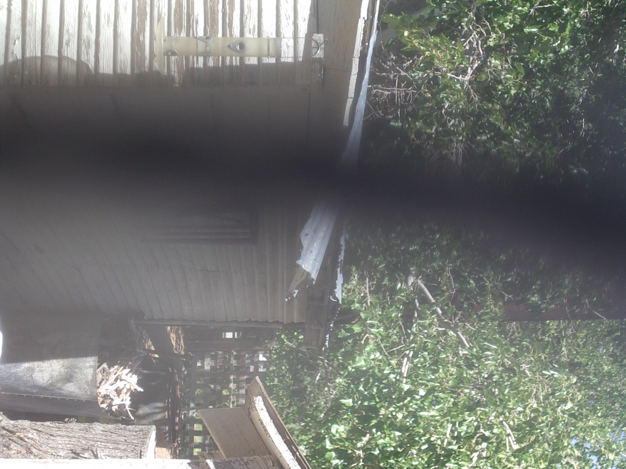
existing Etherants!, 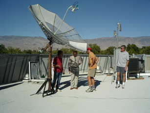 context of Etherants, met station (Vanda & Dick), Dick pose, View to W, View to C, alternate antenna mounts, attic cable run, POE drivers,
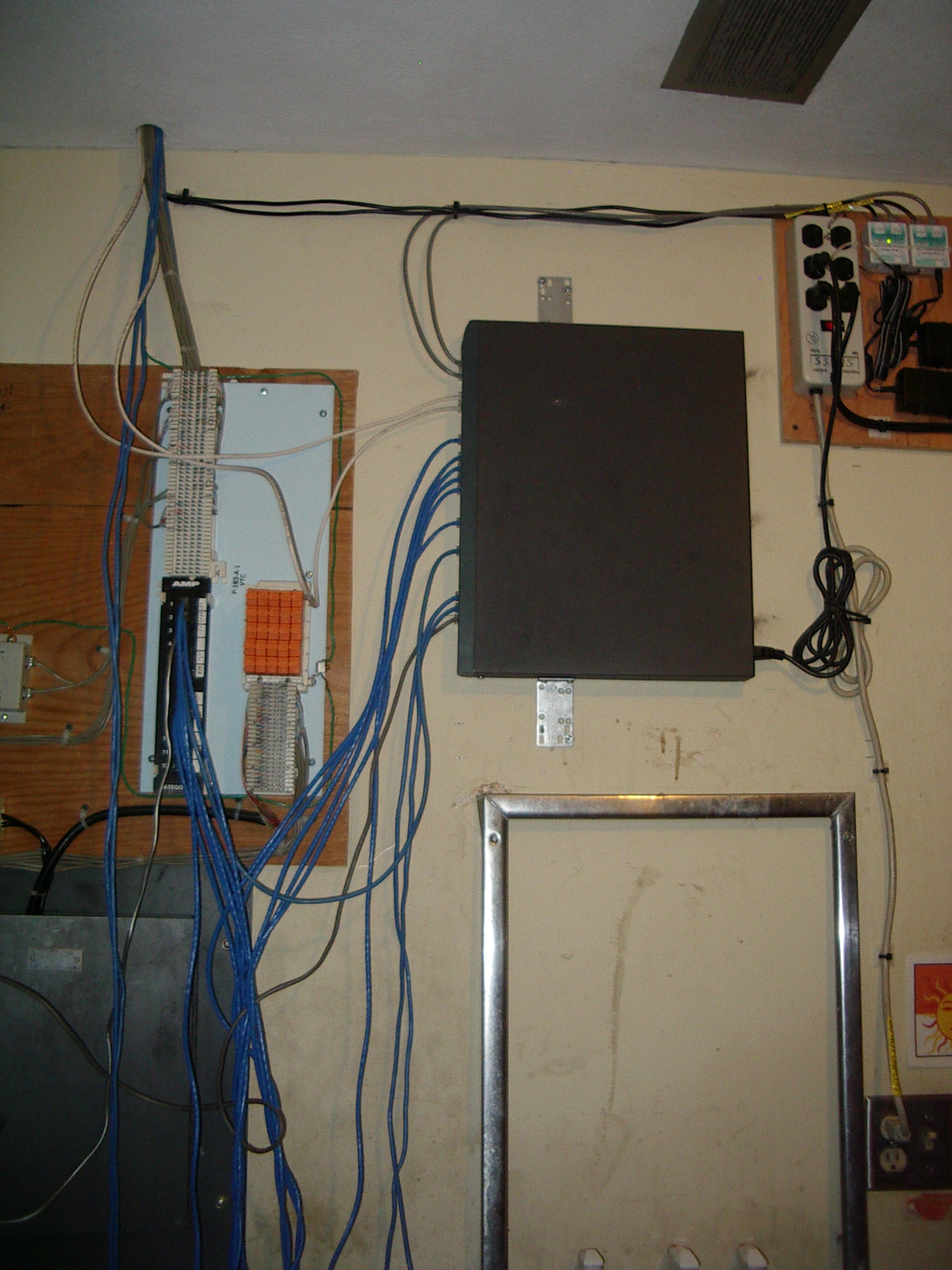
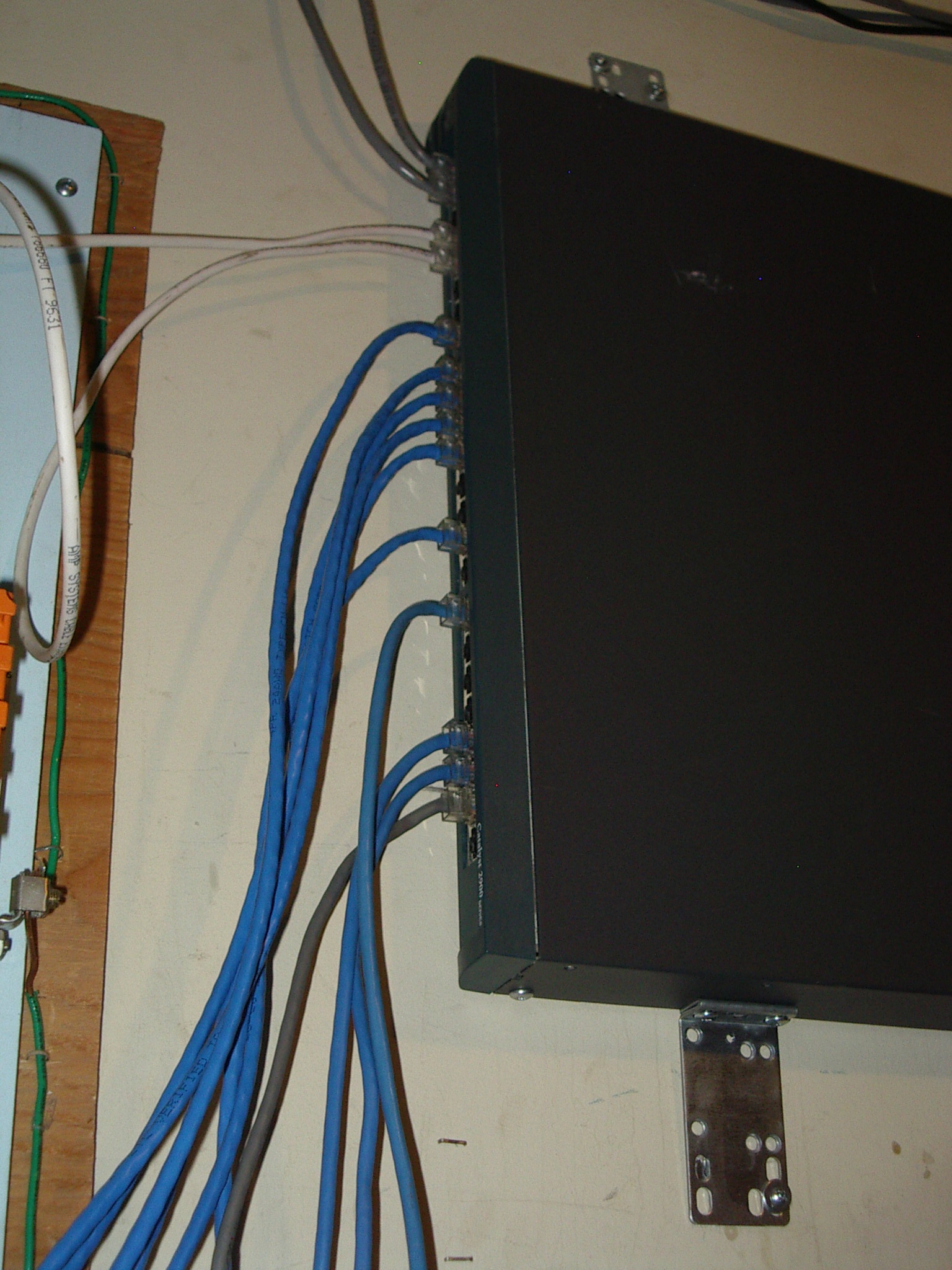
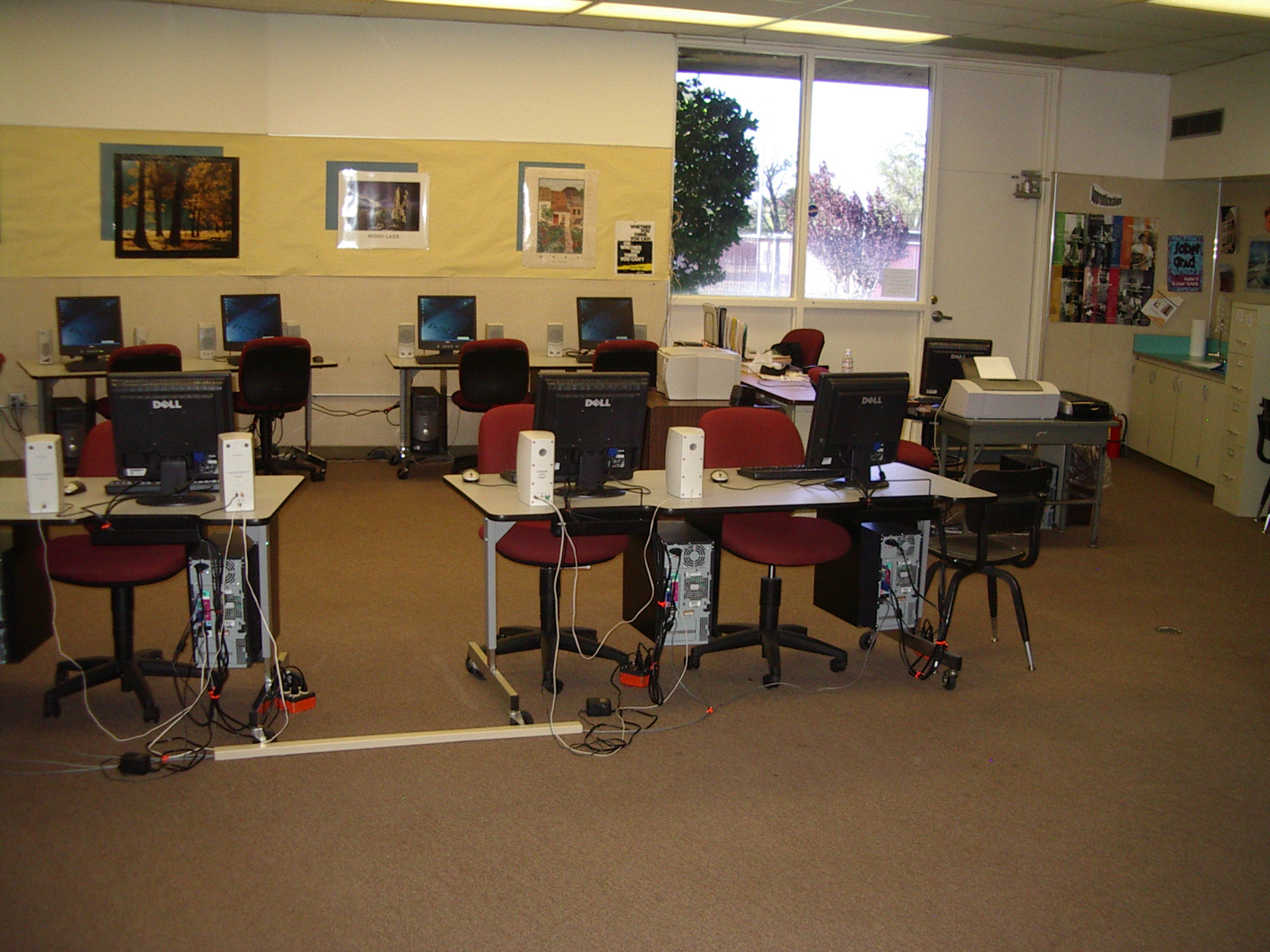
 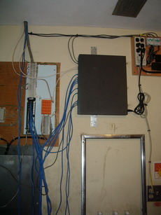 ethernet hub, hub ports, computer lab
This is how we plan to get internet. T3 link (4.6Gb?) mostly unused (especially not 8:00-3:00 M-F). Joel Hampton(?) is the school supervisor (Jim Savage is the science teacher). Joel set up their networking and was very supportive. Kurt estimated that a 30m cable would be needed to the etherants. Only concern is whether a few nearby trees would block line of sight to West tower. (Probably too many trees to Central tower.) Distance would be 4 miles. Could erect secondary pole anywhere on roof to shift the view azimuth to avoid trees. [Note that base of West tower does not have line of sight to Independence, but top should.]
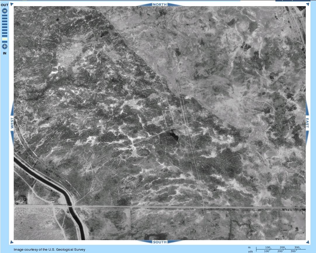
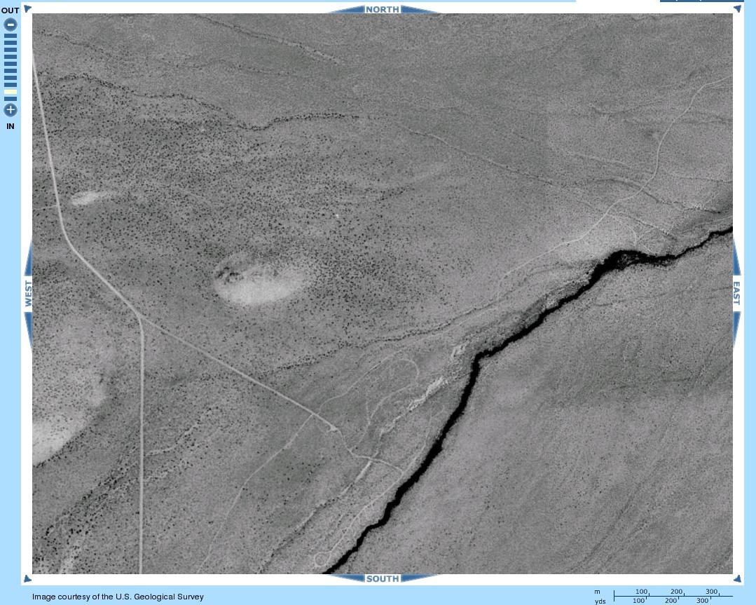
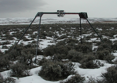
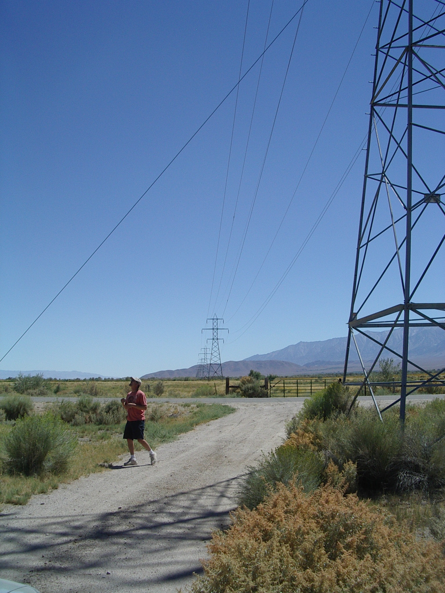
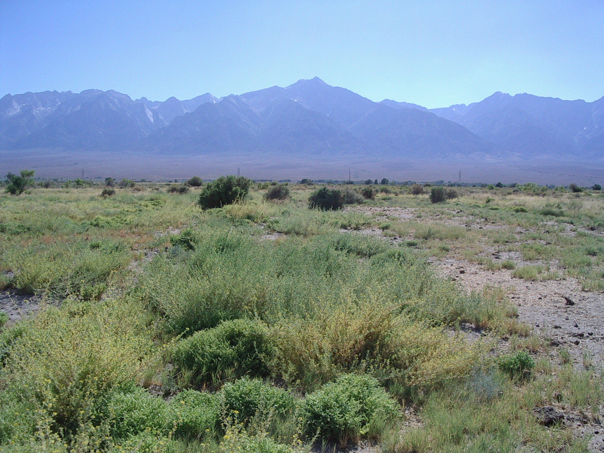
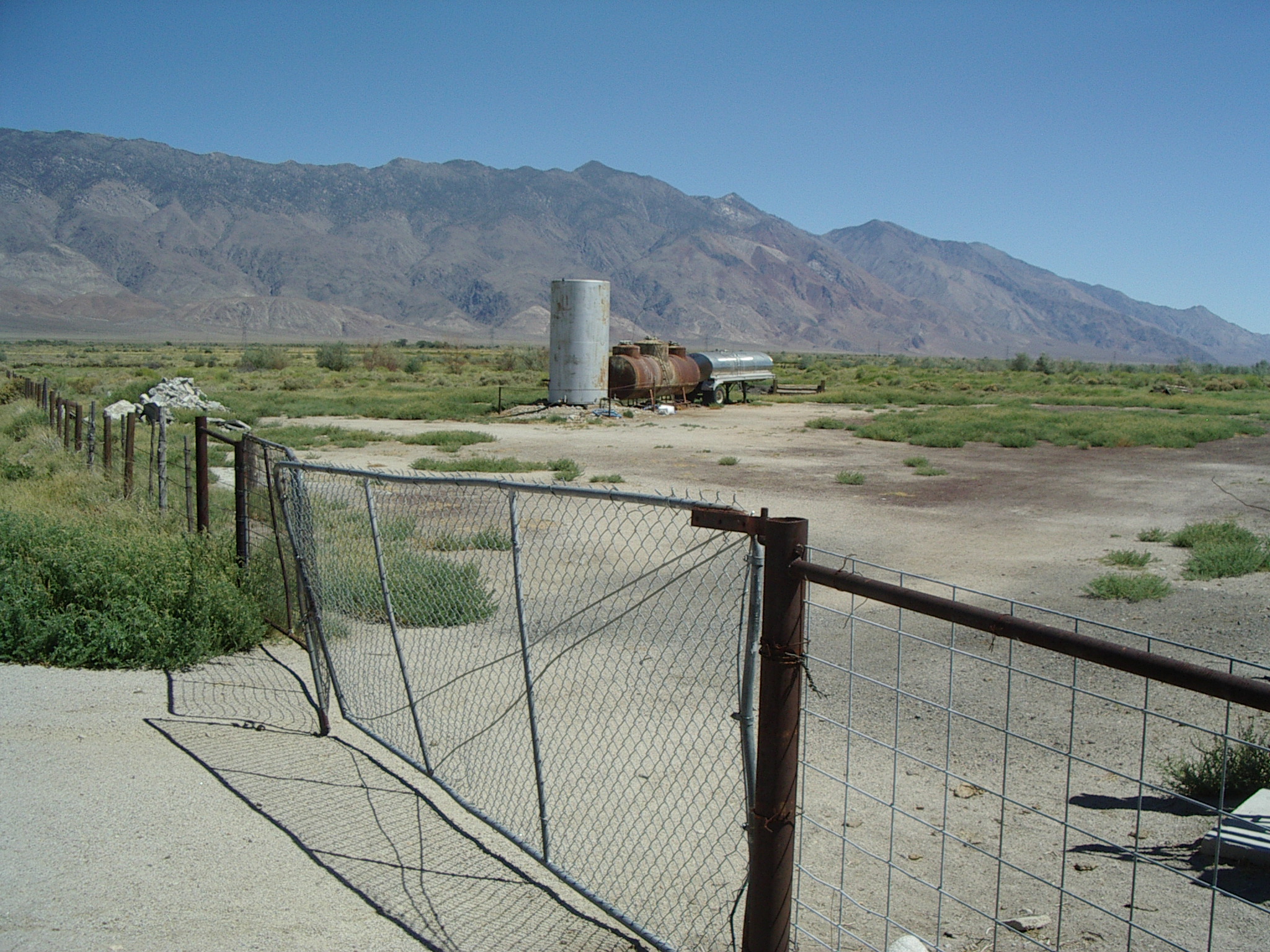
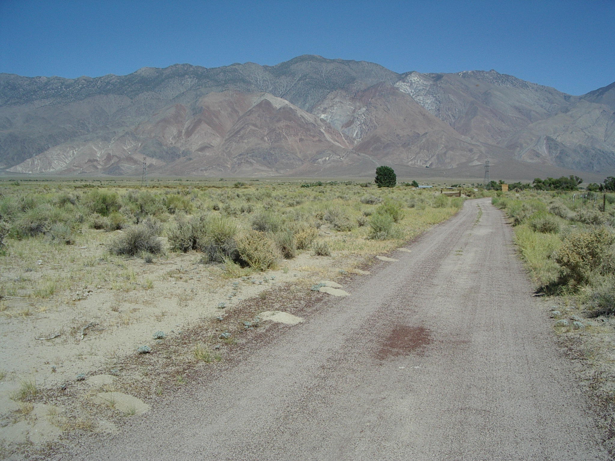
***Central site [36d 48.147', 118d 09.213': T.13S, R.35E, Sect. 15]
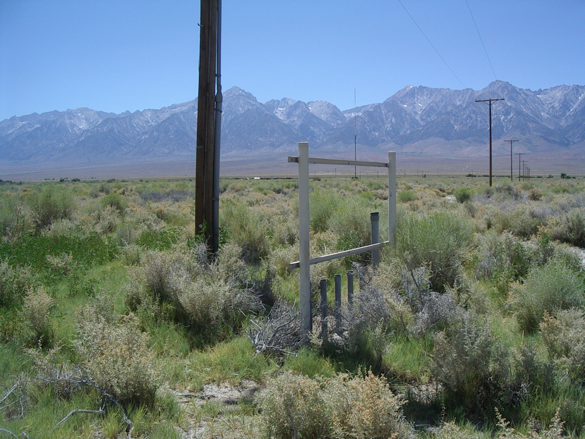
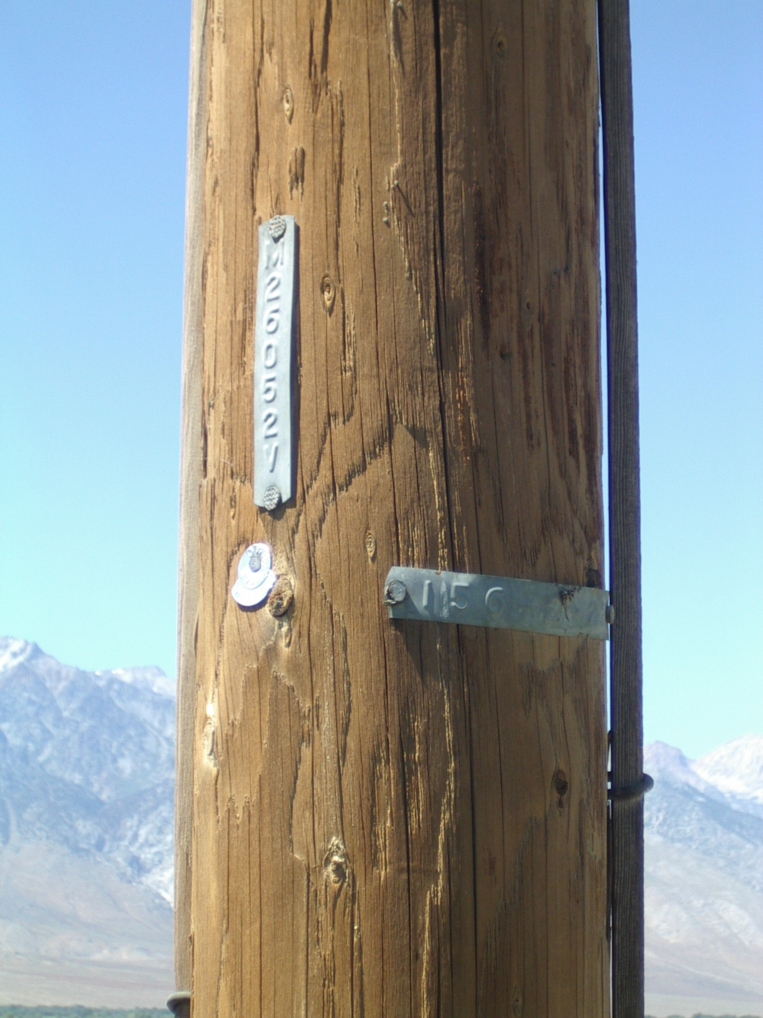
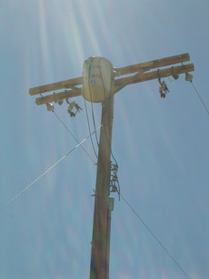 former power drop, photo, power pole ID, photo, photo, photo, photo, photo,
 N (trees a bit close),
 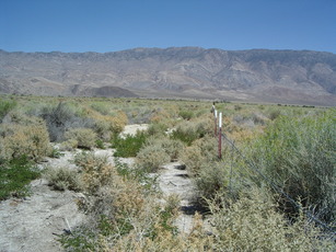 E,
E, 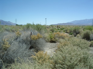 S,
S, 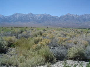 W, height of vegetation, remediation activity?, guy wire for trailer to clear.
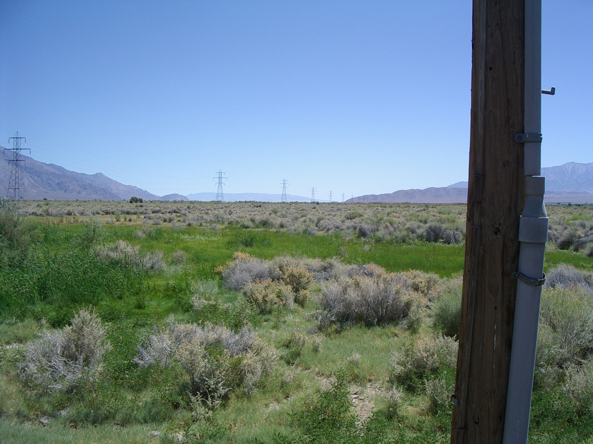
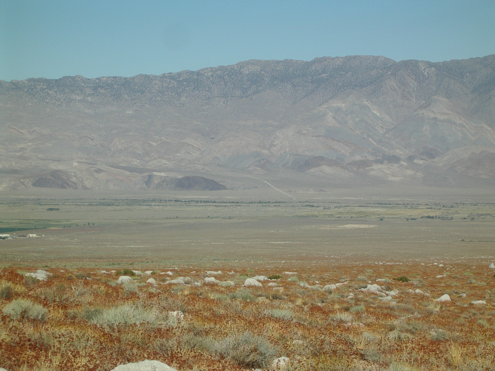
Power should be readily suppliable. Looks to have been "remediated"(?), so is already disturbed. Large (8 x 20)m flat mud areas (sparse but somewhat large vegetation). Any more to the East would be in rolling terrain influenced by Owens River. GPS is near SE corner of fence. (See my paper site diagram.) Bill recommends that sodar should be NW of tower to minimize return from towers and wires. Add 0.016' latitude, 0.101' longitude to GPS position for tower location.
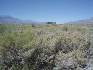
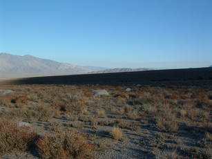
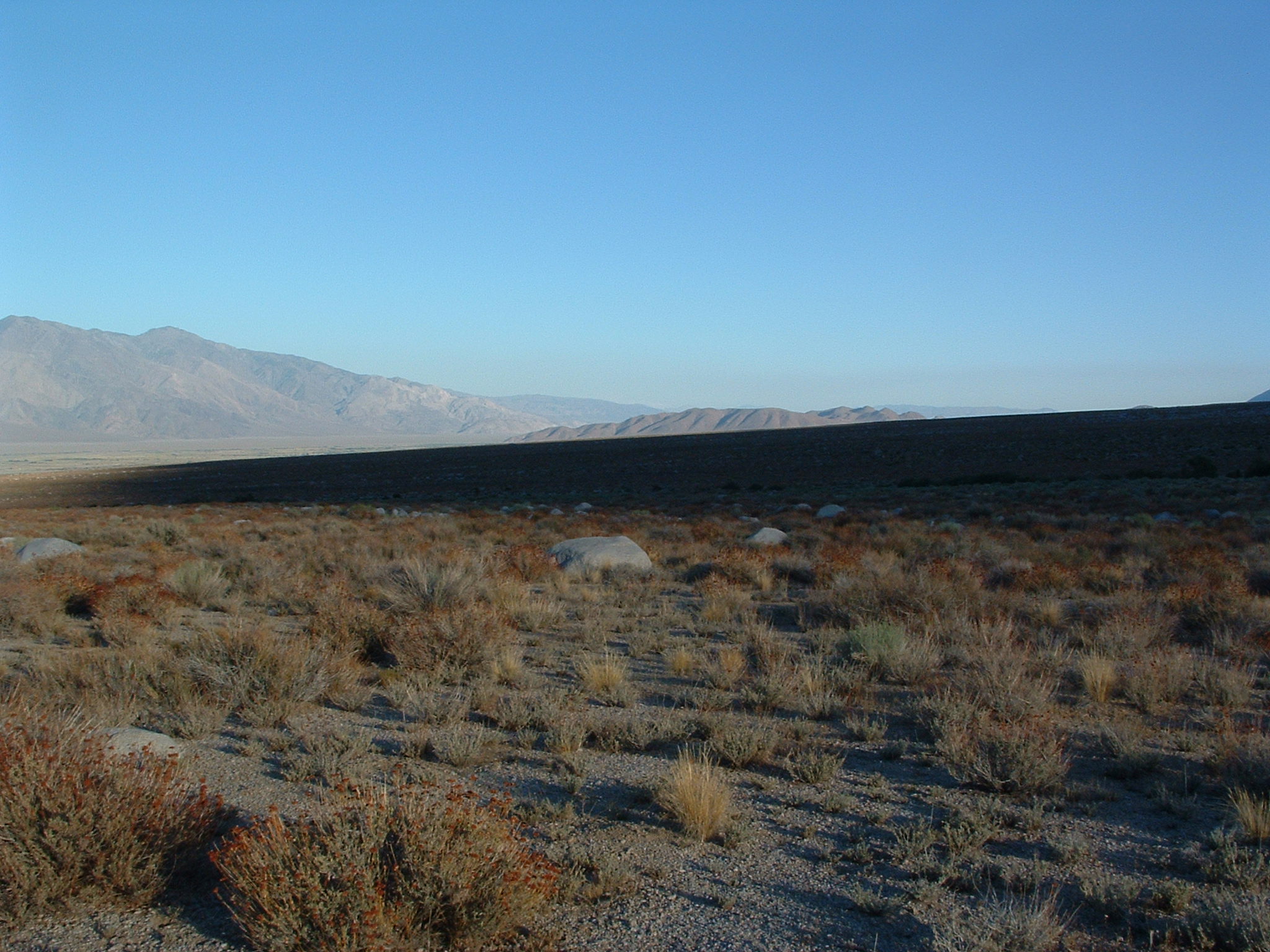
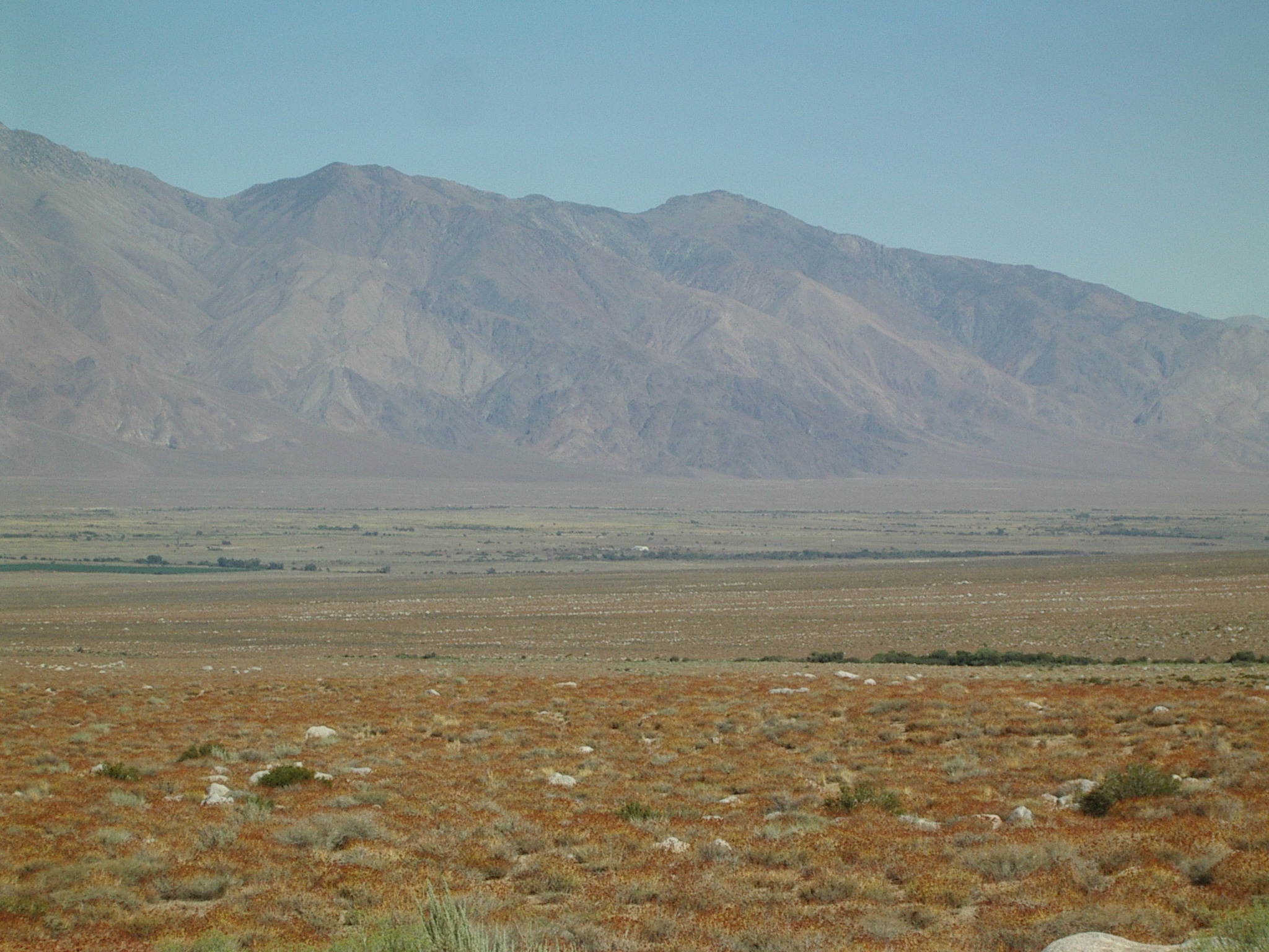
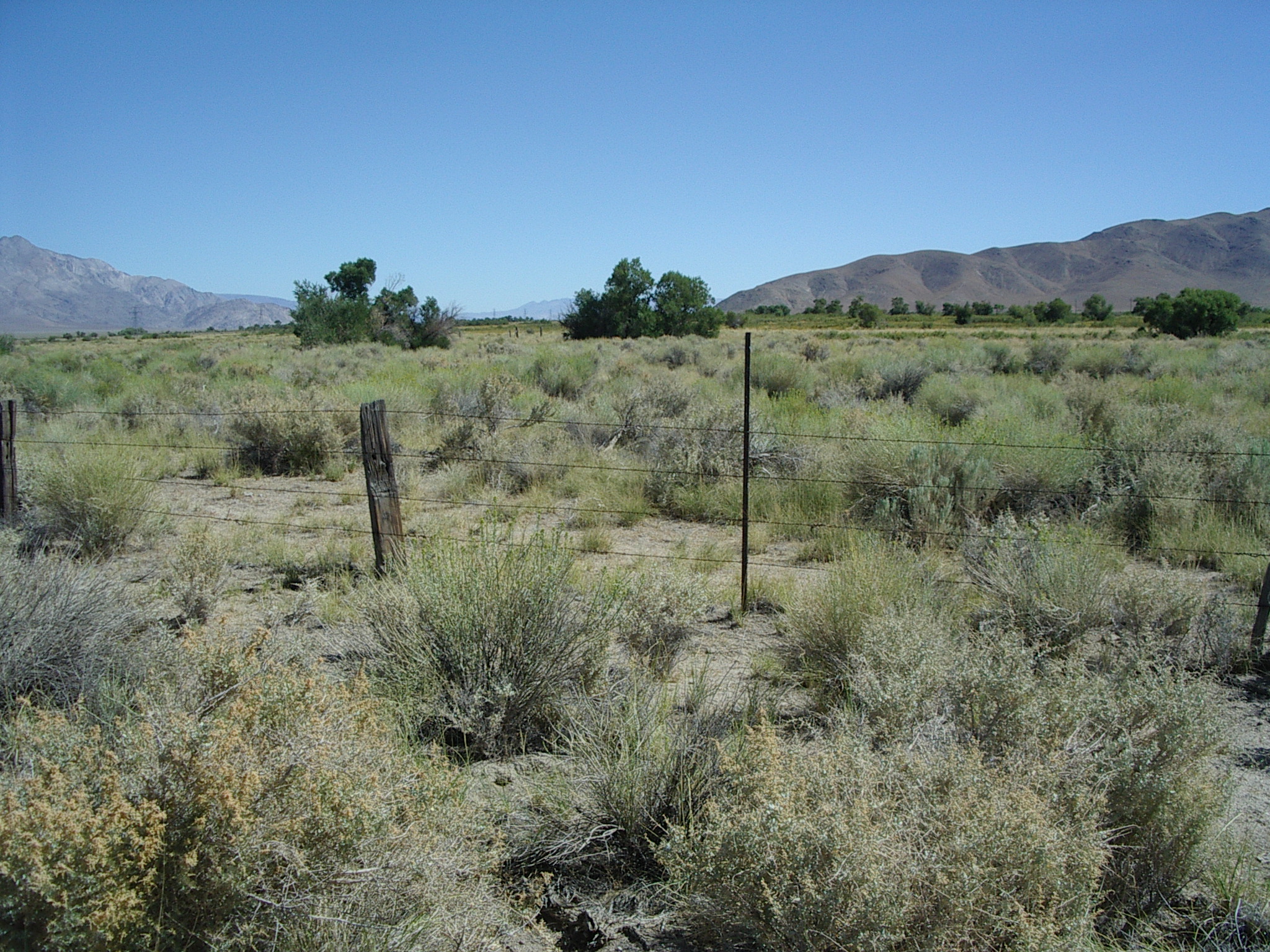
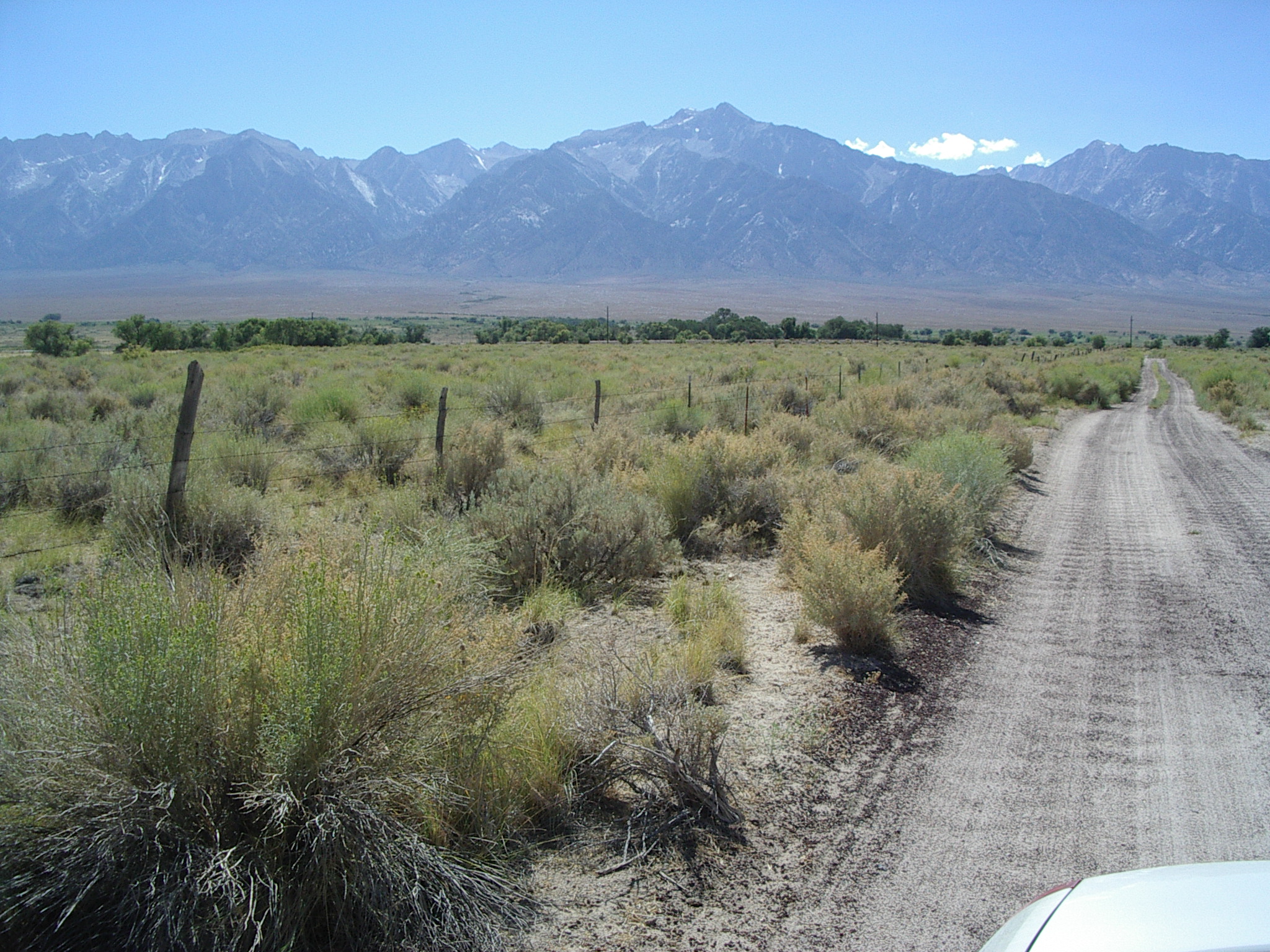
***West site - Option B [36d 45.603', 118d 14.837': T.13S, R.34E, Sect. 35]
 SE,
SE, 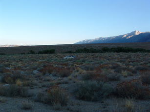 S.
S. 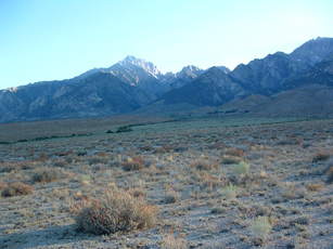 SW2, SW3,
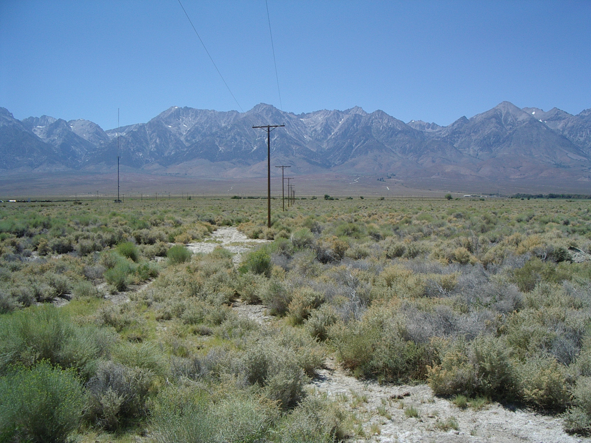
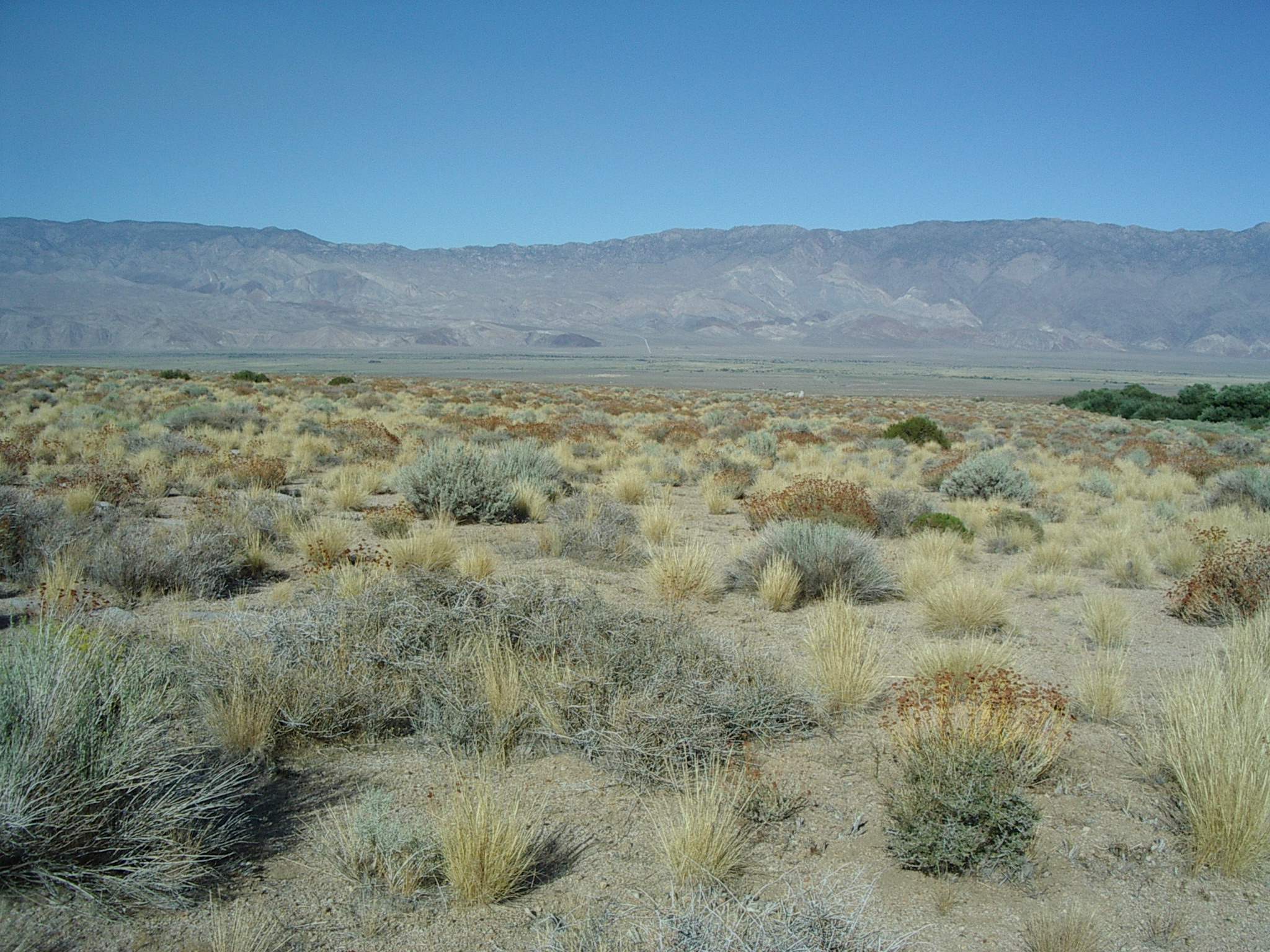
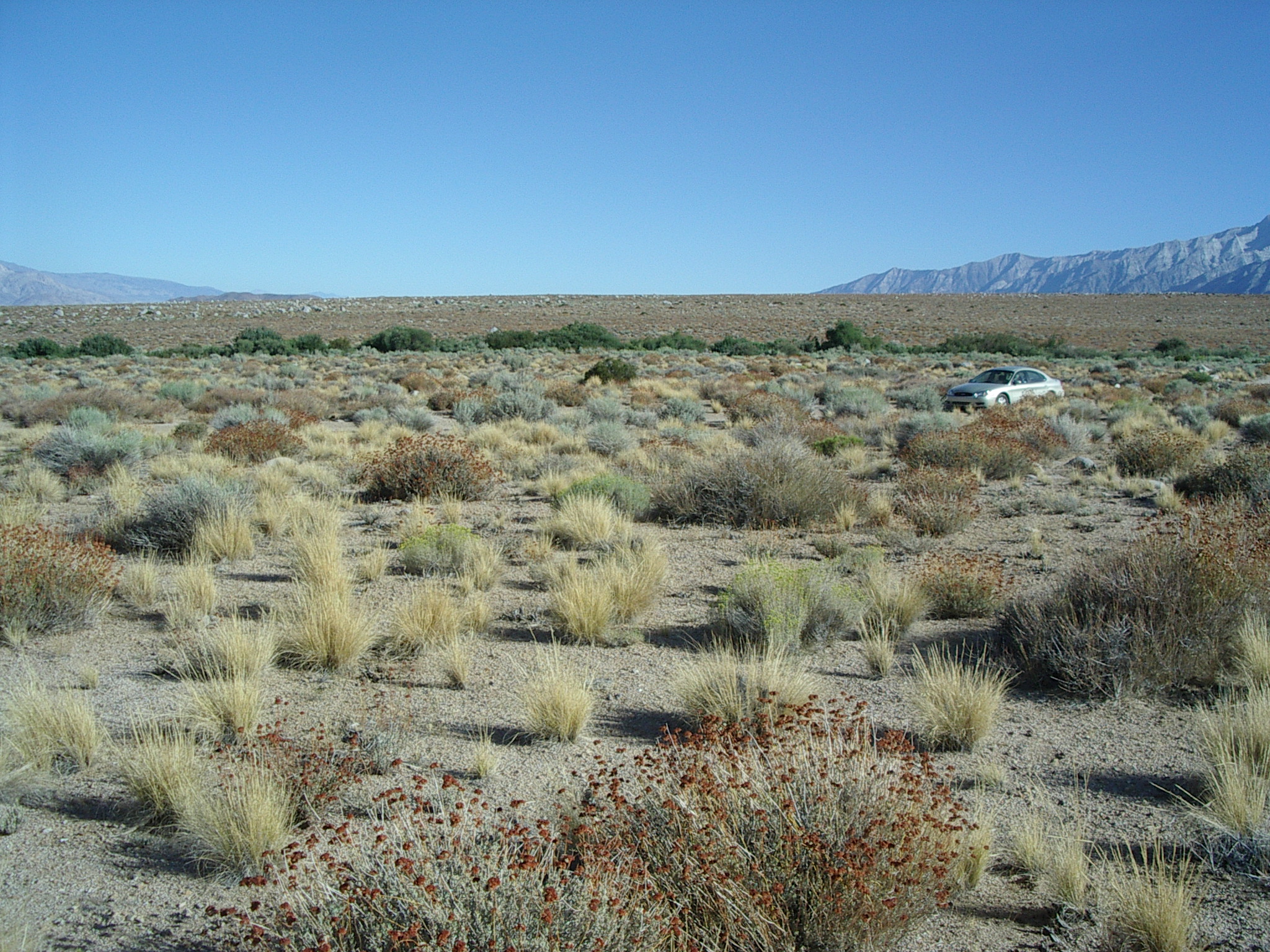
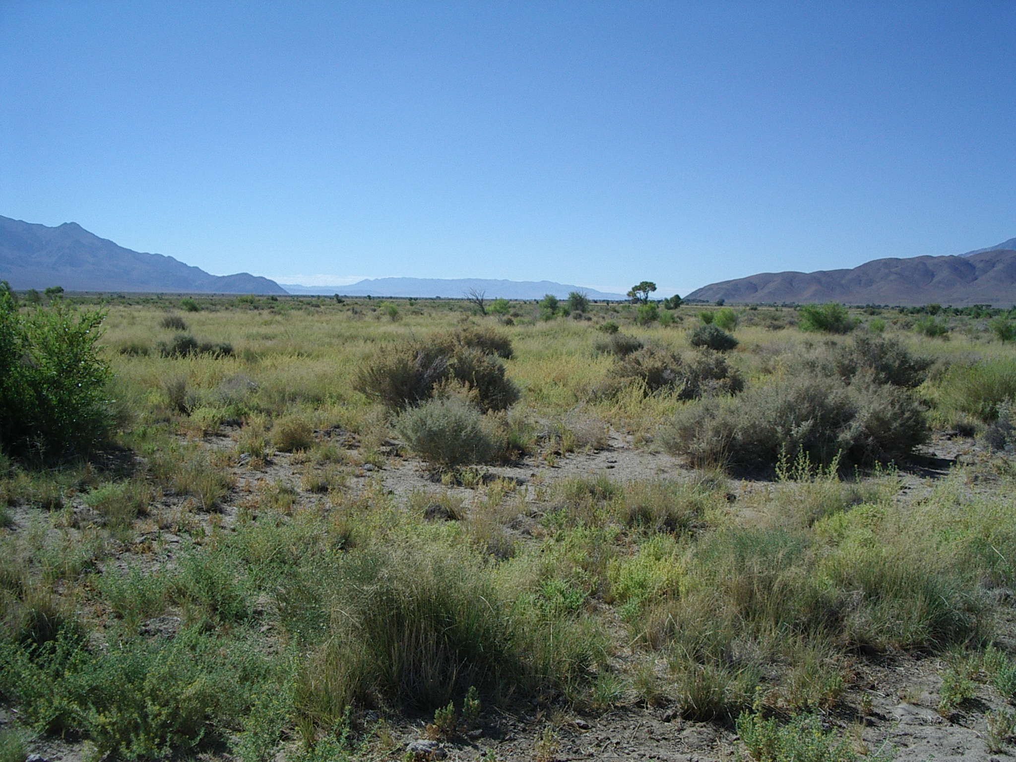
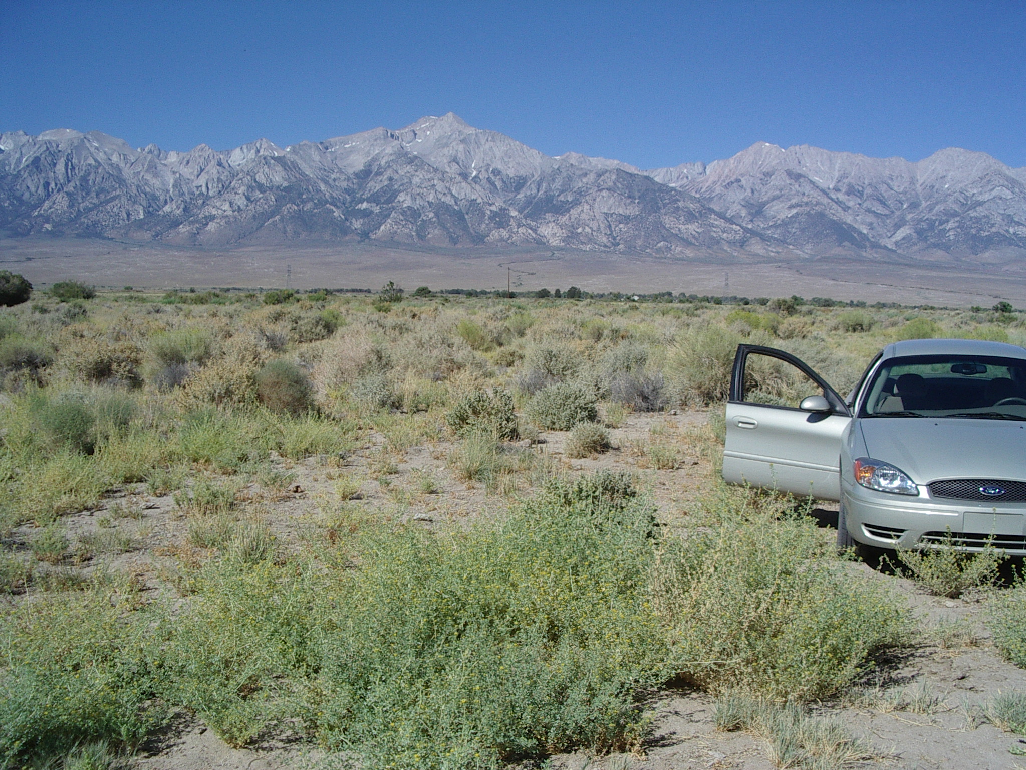
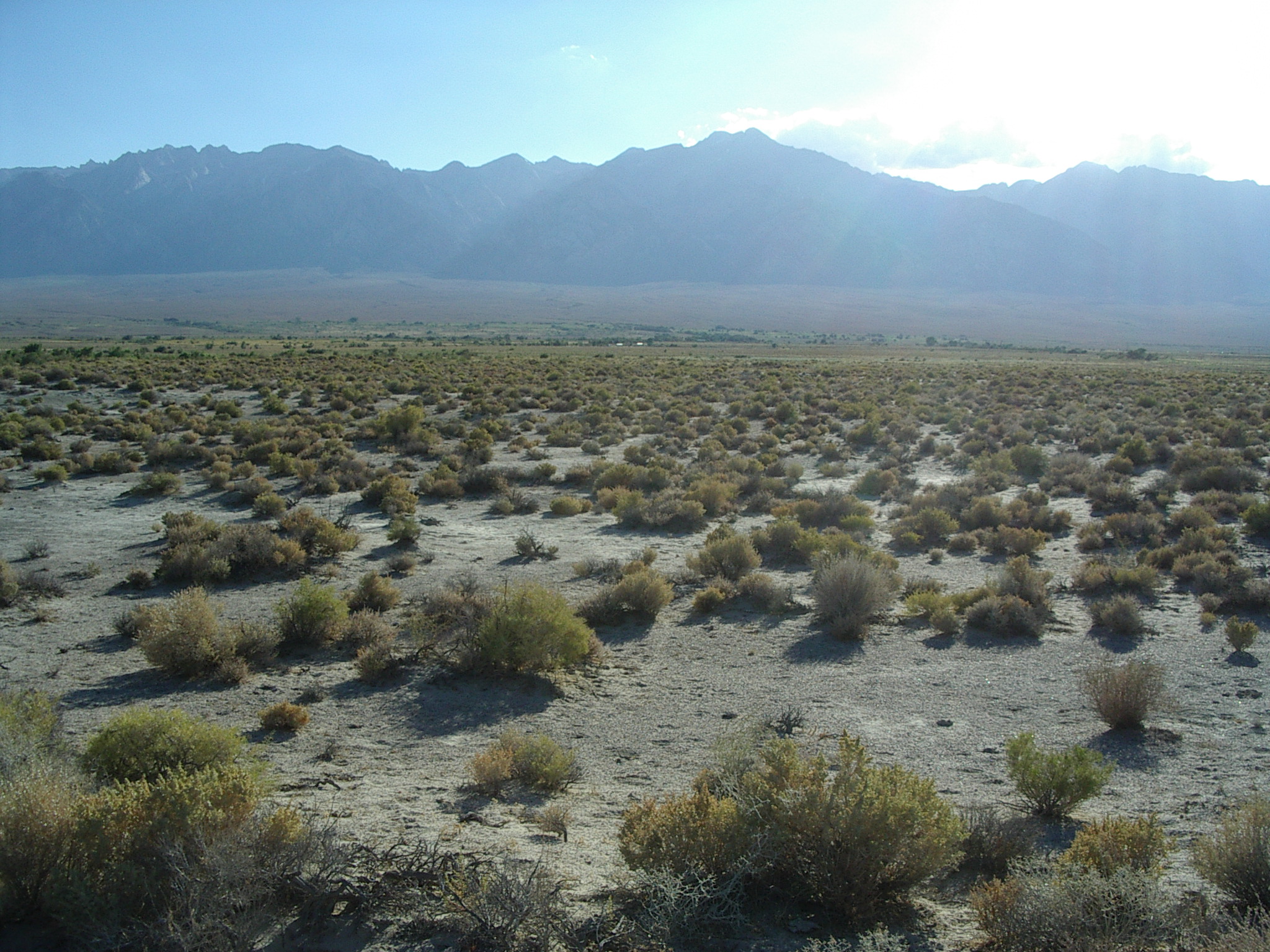
 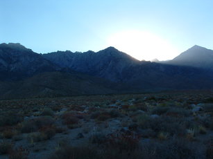 W, Nearly the same as Option A (see below). A few boulders, but a bit further from drainage to South. Fairly uniform locally -- slope of 3.2 degrees. About equidistant between moderately large gullies running downslop. Can deploy close to the road. Two big rocks on South shoulder of road can identify this site. This is our first choice.
West site - Option A [36d 45.547', 118d 14.935']
 N,
N,  E,
E,  S,
S,  W (note butte -- too close?), view of Central (from Foothills Rd), view of South (from Foothills Rd) (both line-of-sight).
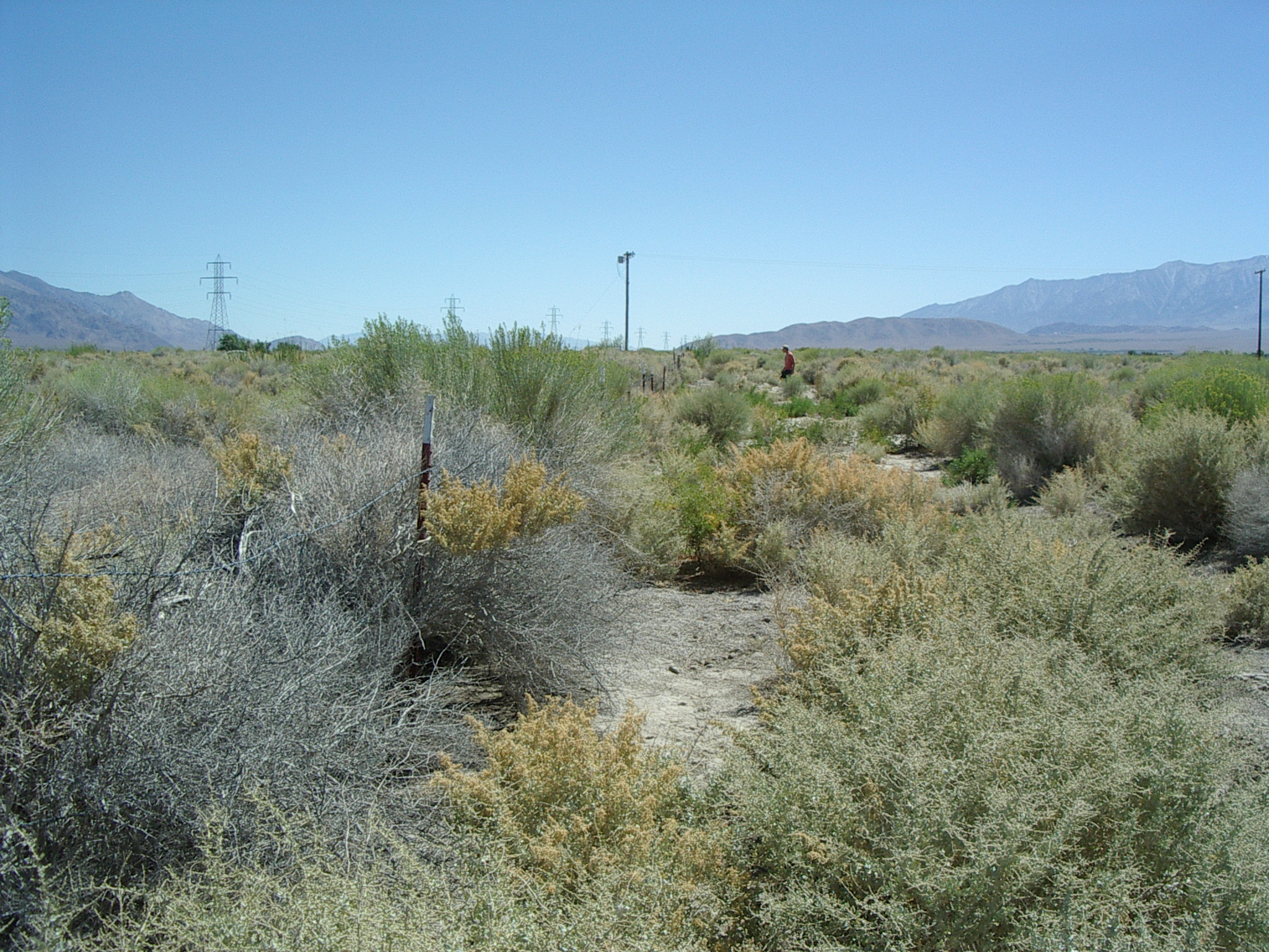
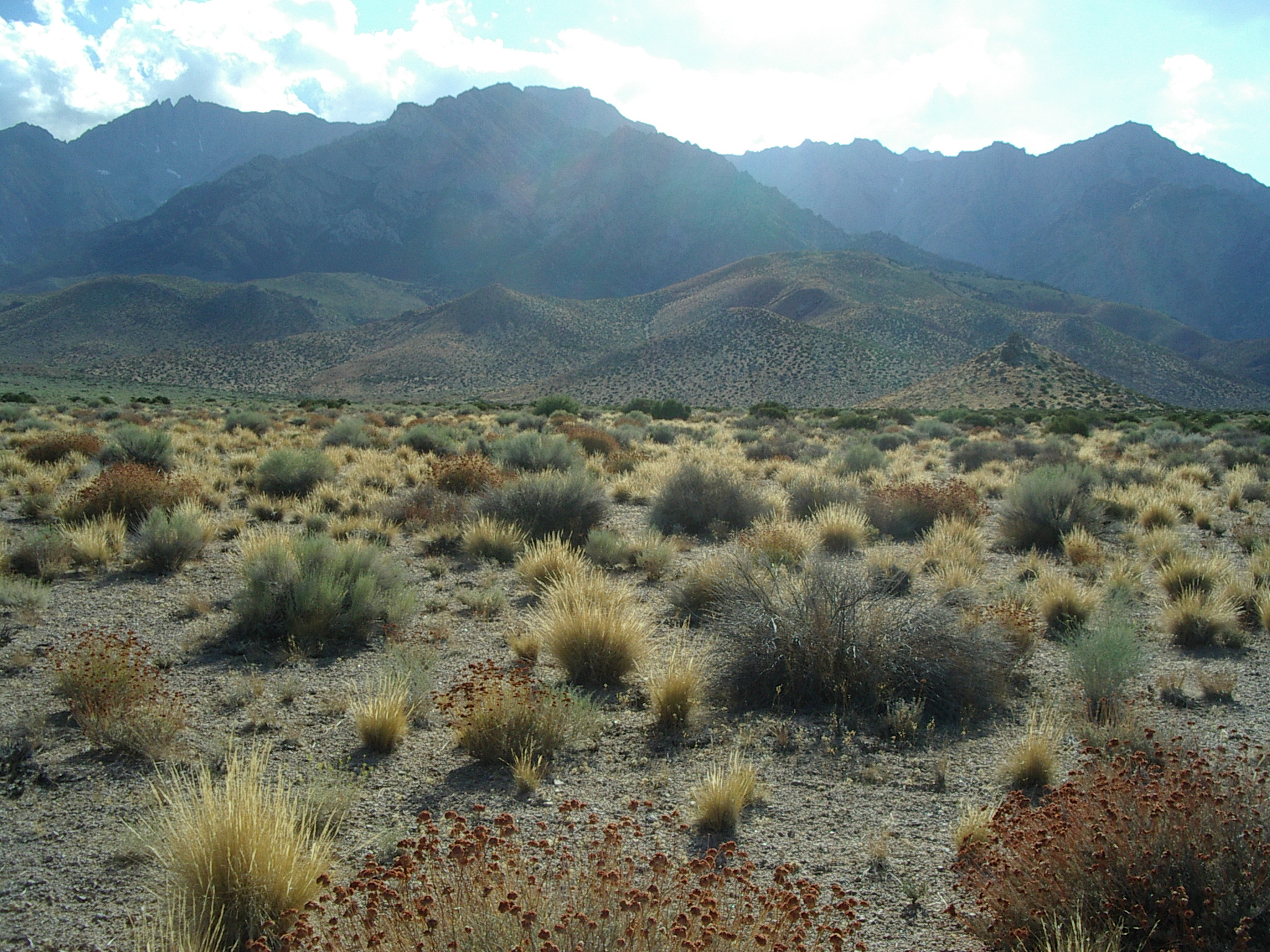
One of the few areas without lots of surface boulders. Still may be hard to insert anchors. Generally only knee-high vegetation. No major gulleys seen (but probably within 100m).
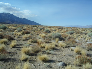
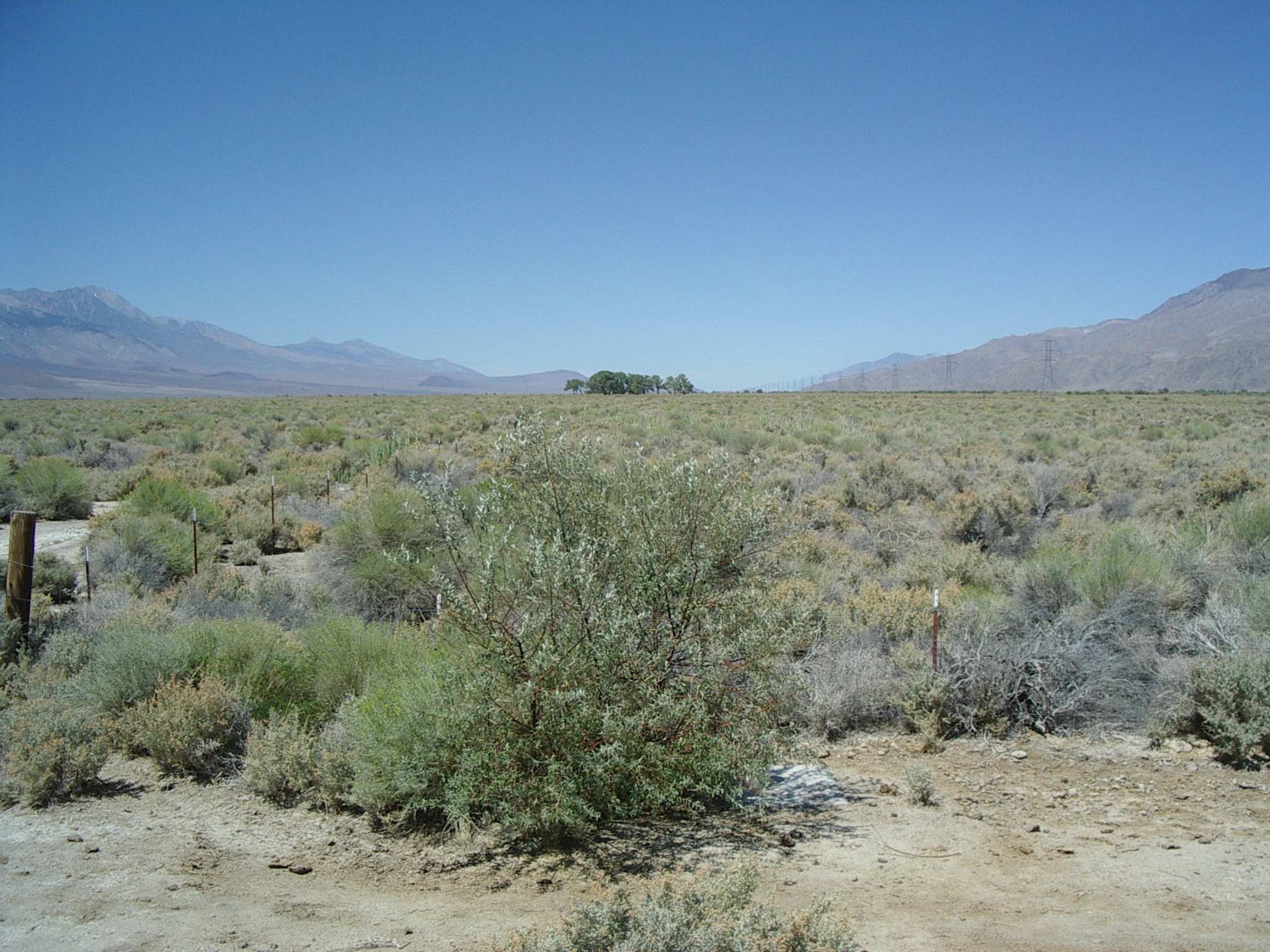
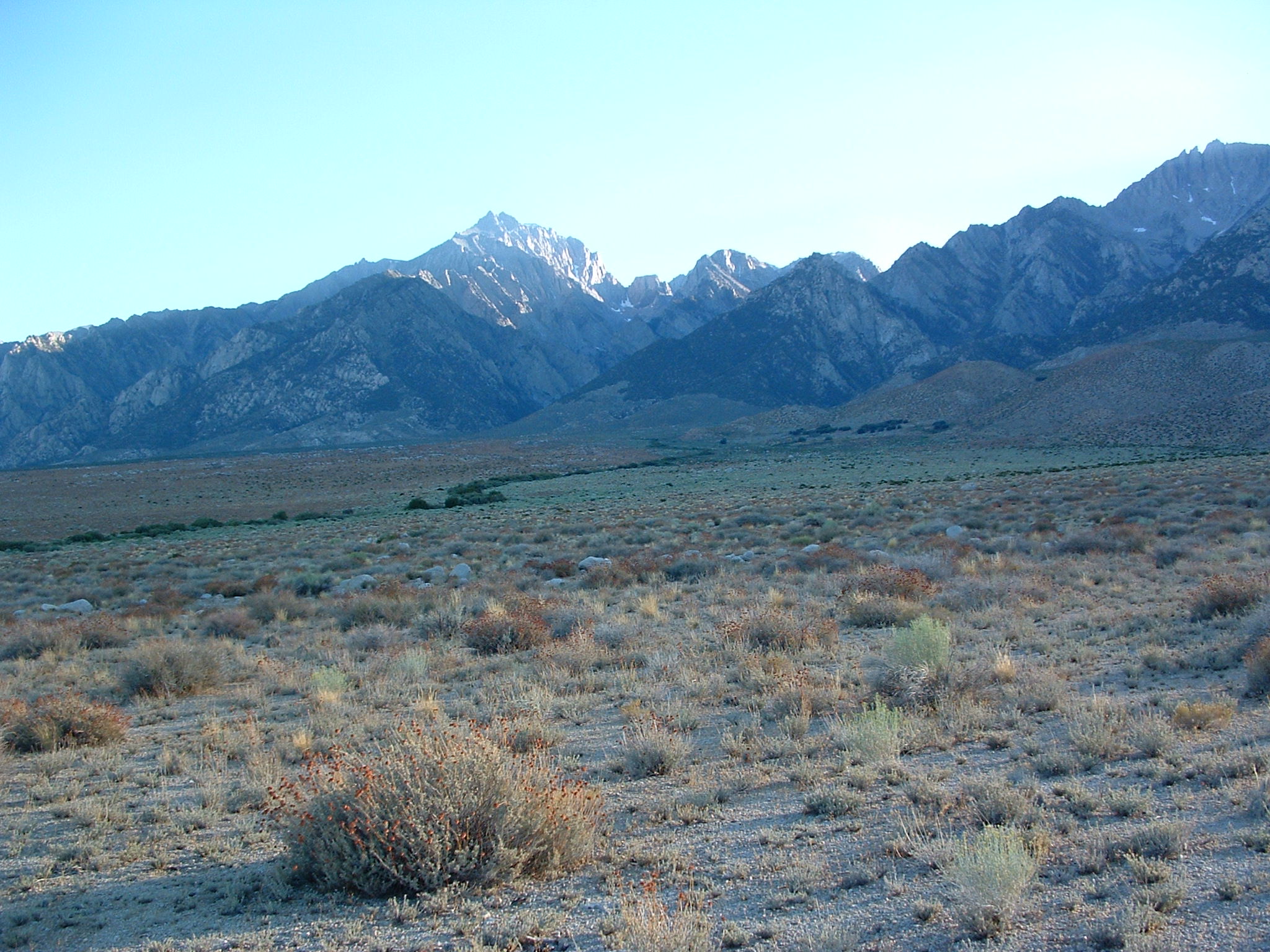
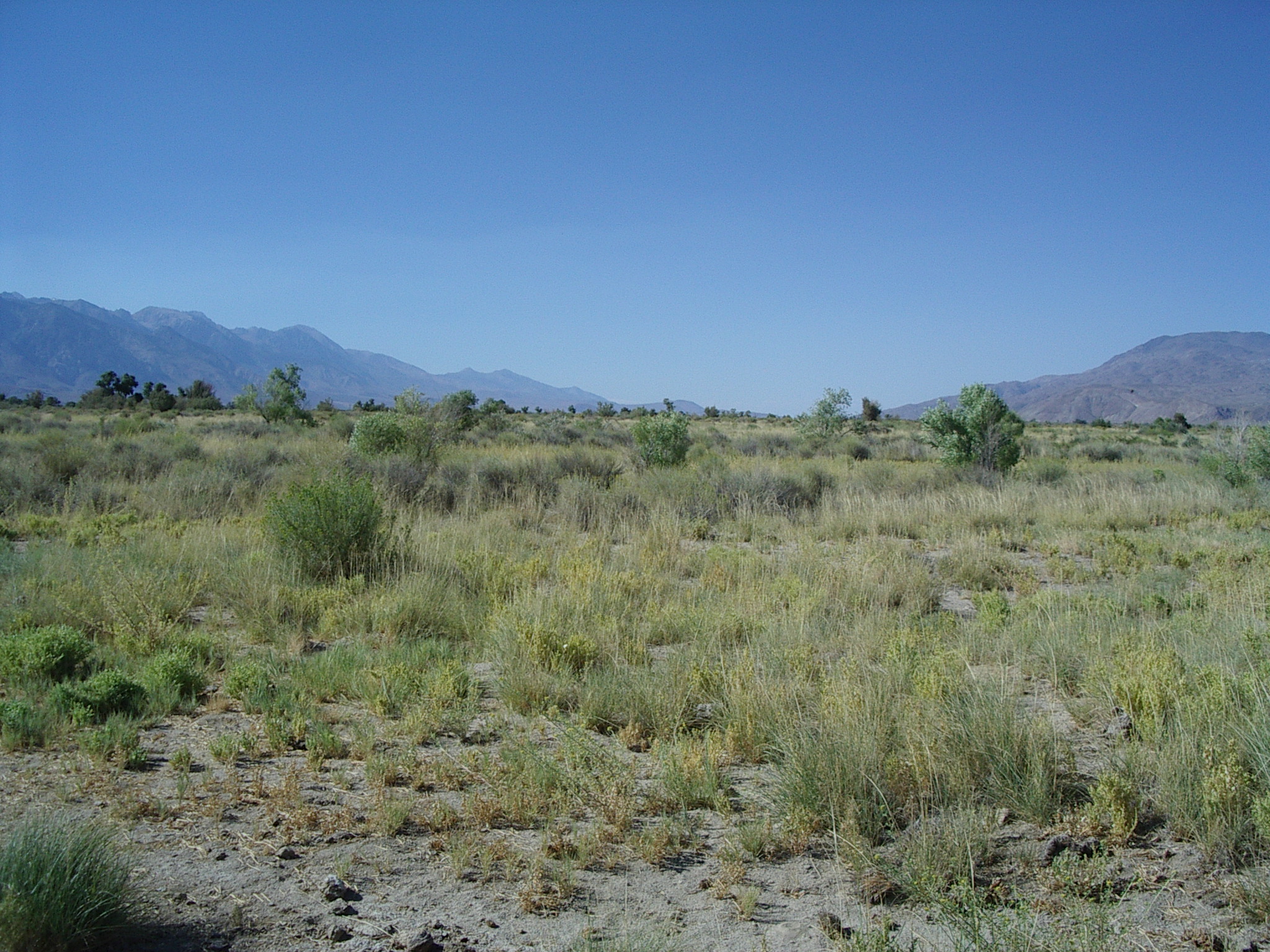
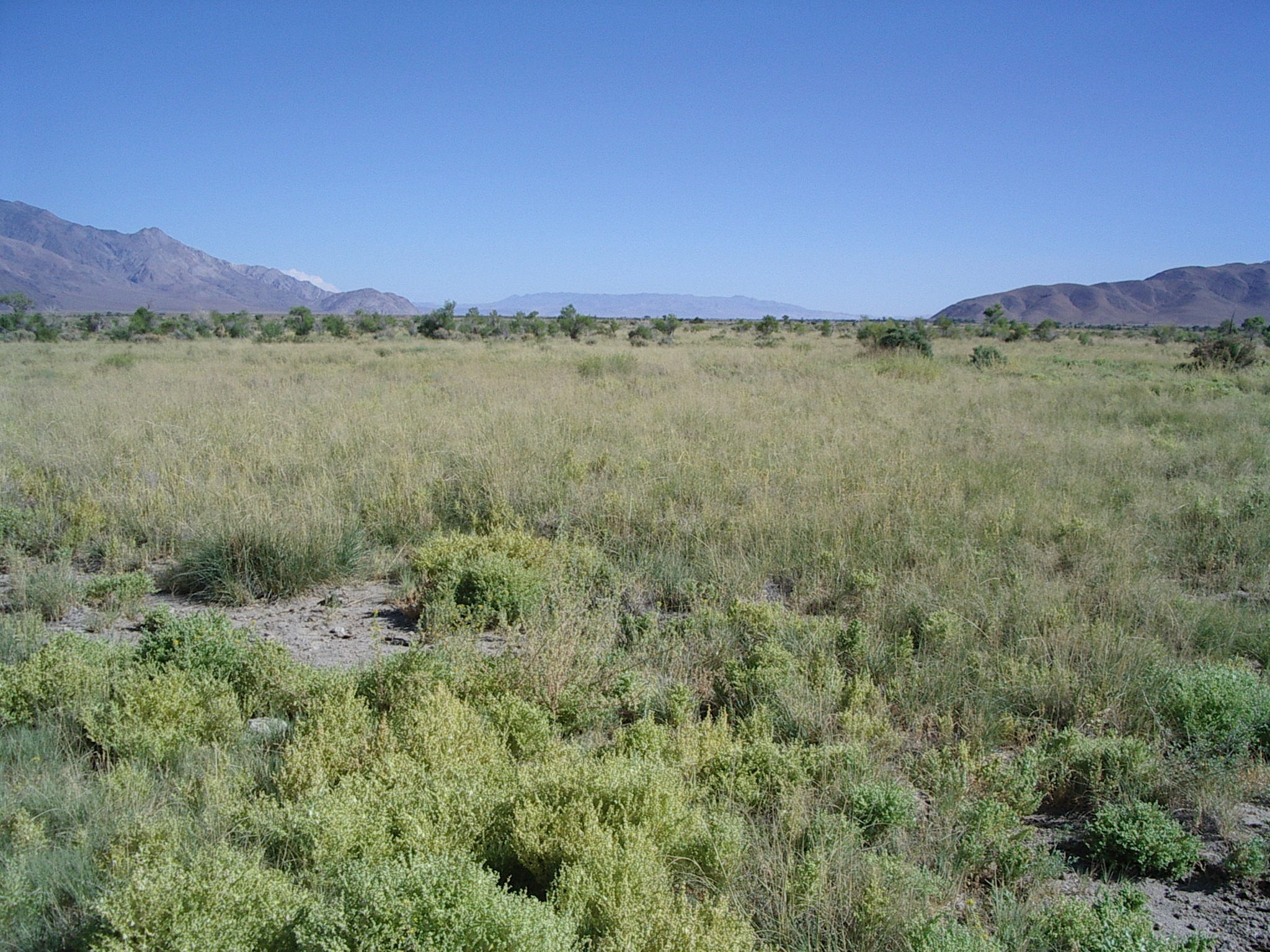
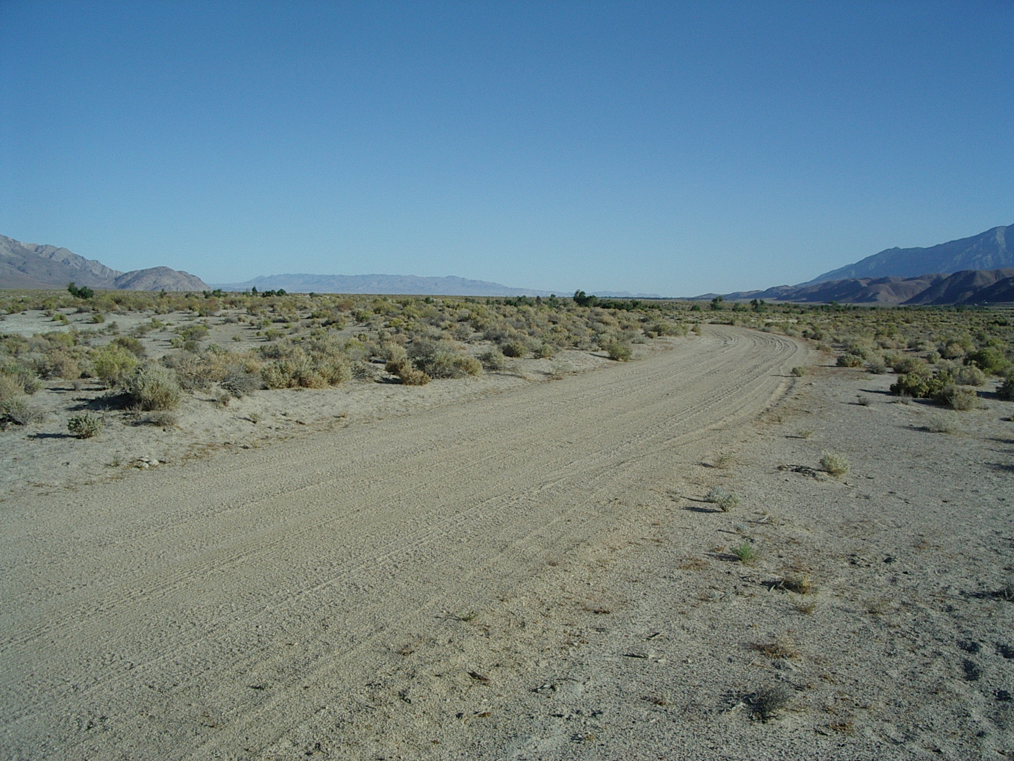
***South site - Option C [36d 44.054', 118d 07.282': T.14S, R.35E, Sect. 12]
N, E, S, W.
 N,
N, 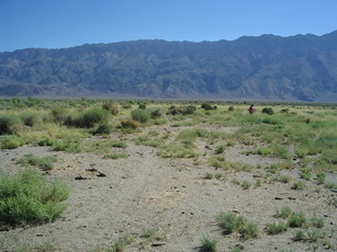 E,
E, 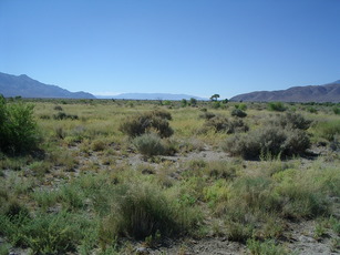 S,
S, 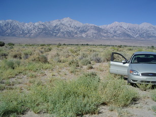 W,
W,
Our best compromise. Relatively far from trees, relatively flat. Cover has grass not found elsewhere. (Might deploy near West edge of grass patch to maximize less-grass fetch to West.)
Other places we looked:
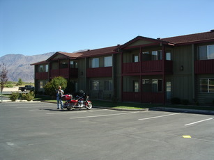
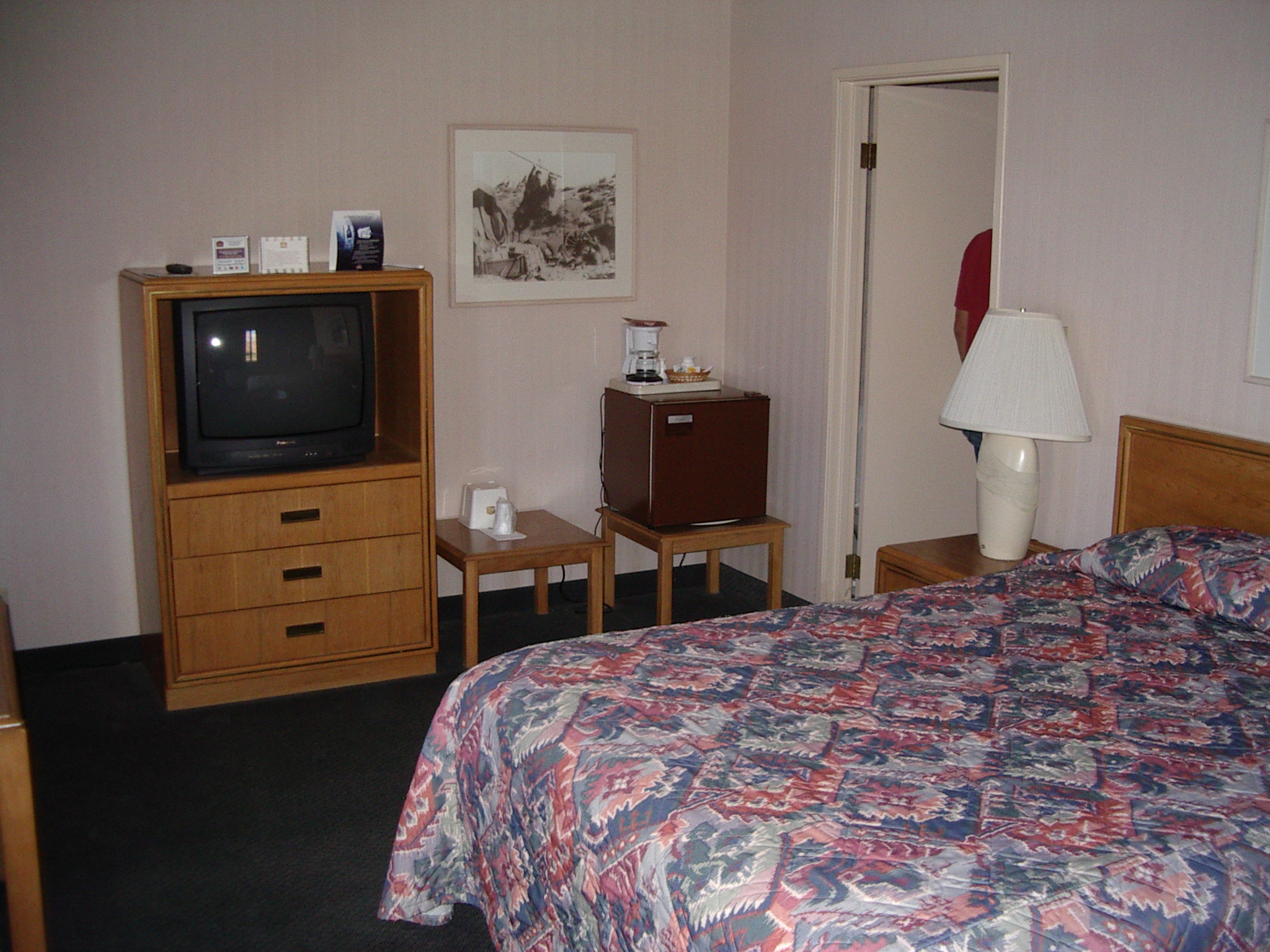
Bishop - Village Motel (link)
[Photos from WWW site]
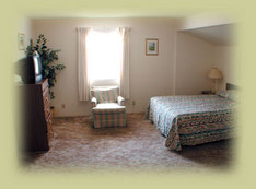
$59-79. Kitchenettes, off highway, all rooms different (some only showers).
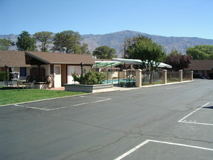
Bishop - Vagabond Inn (link)
[Photos from WWW site]
$60. Fridge, microwave, wi-fi.
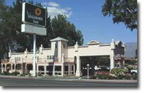
Bishop - Best Western (Holiday Spa) (link)
[Photos from WWW site]
$73. Fridge, microwave.
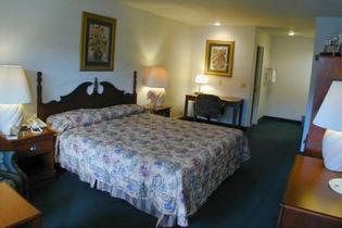
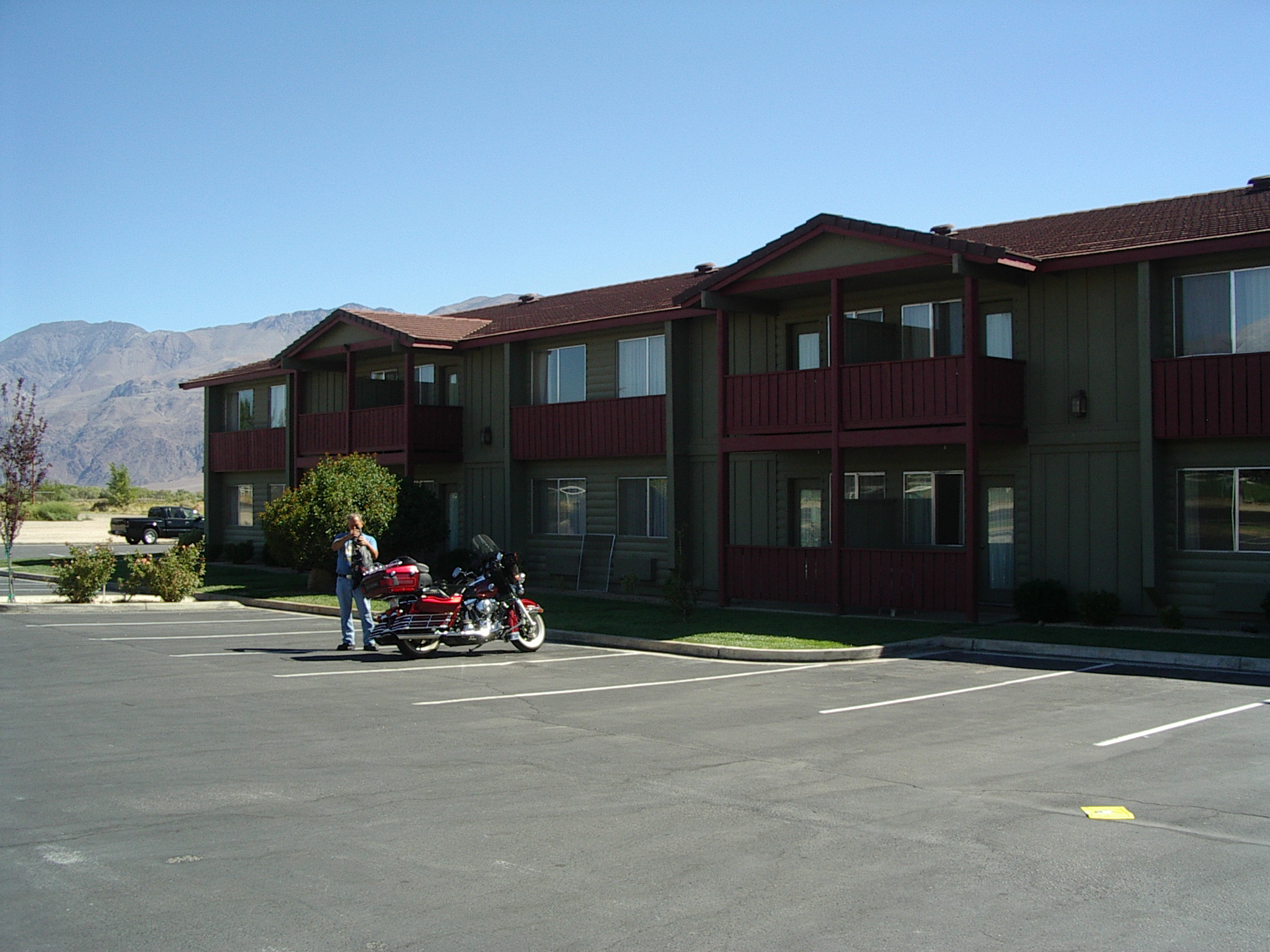
Lone Pine - Comfort Inn
 Outside,
 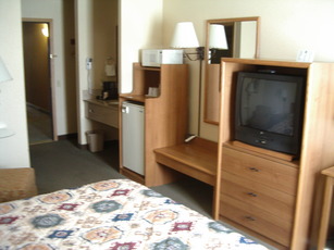 Room.
Room.
$60 until 1 April, then $80. "Deluxe" cont. b-fast, fridge, microwaves, laundry.
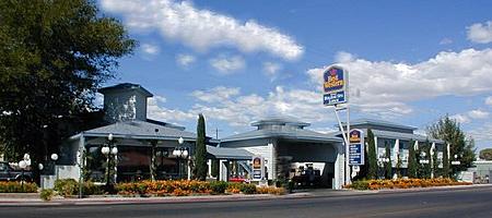
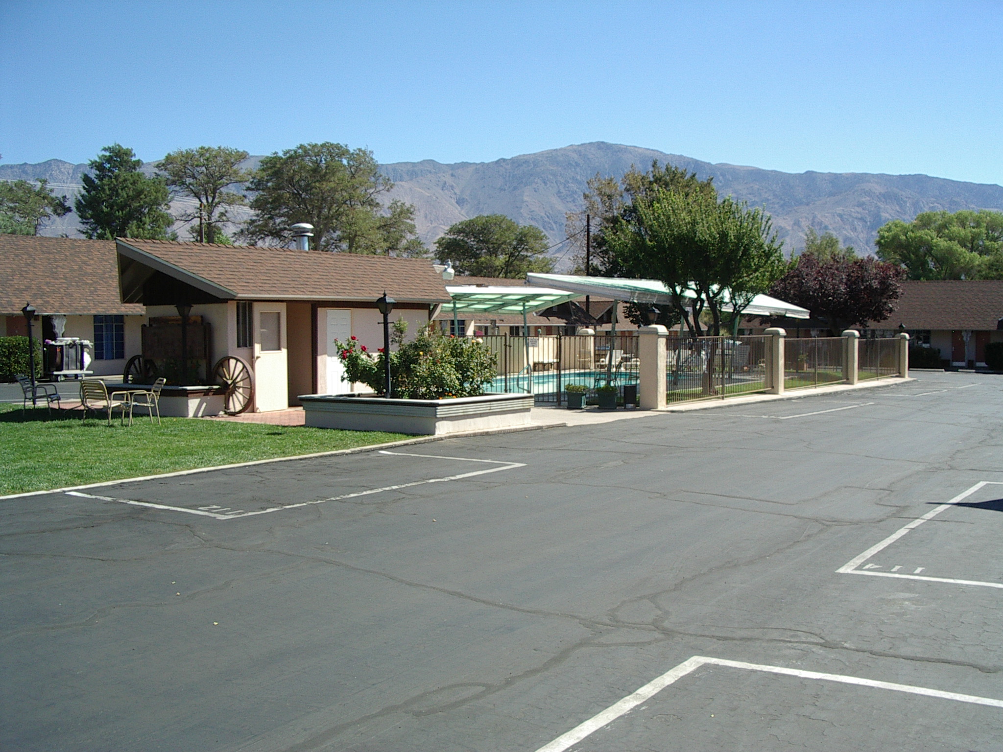
Lone Pine - Best Western
 Outside,
 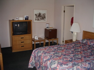 Room.
Room.
$60. Cont. b-fast, fridge, microwave in lobby.
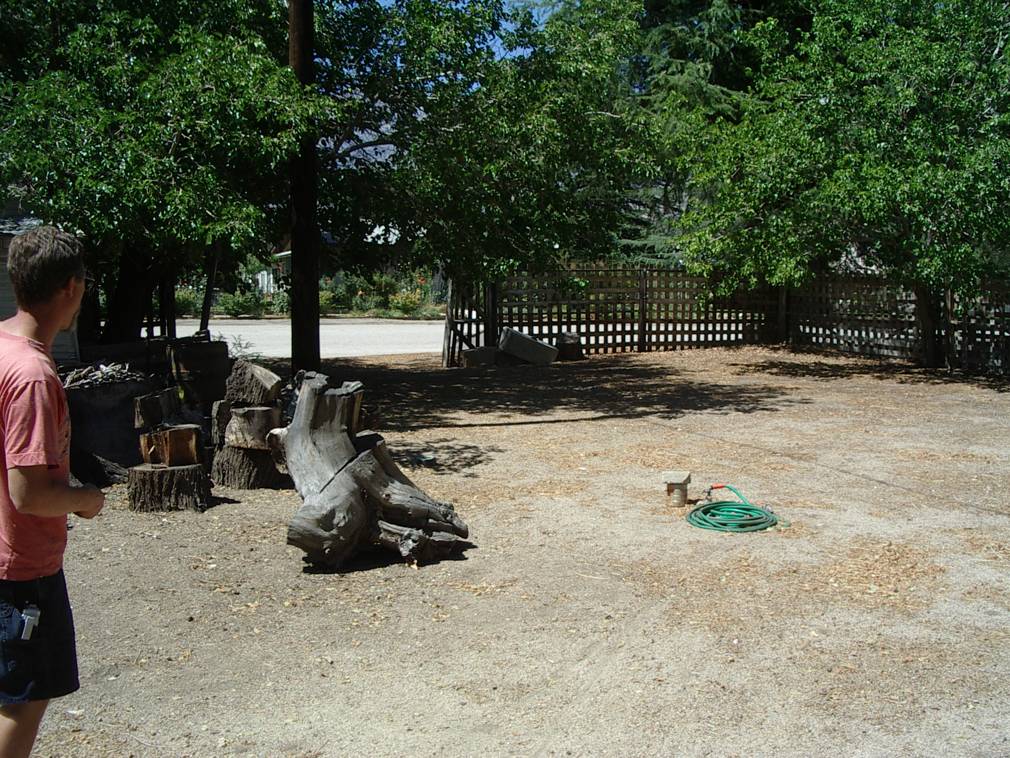
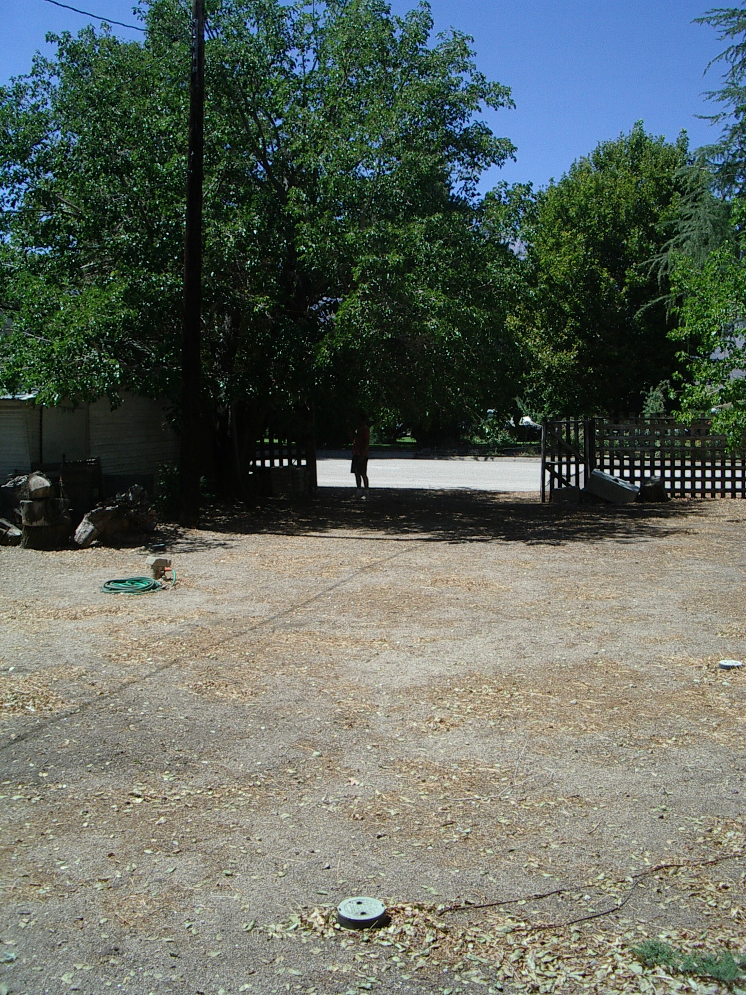
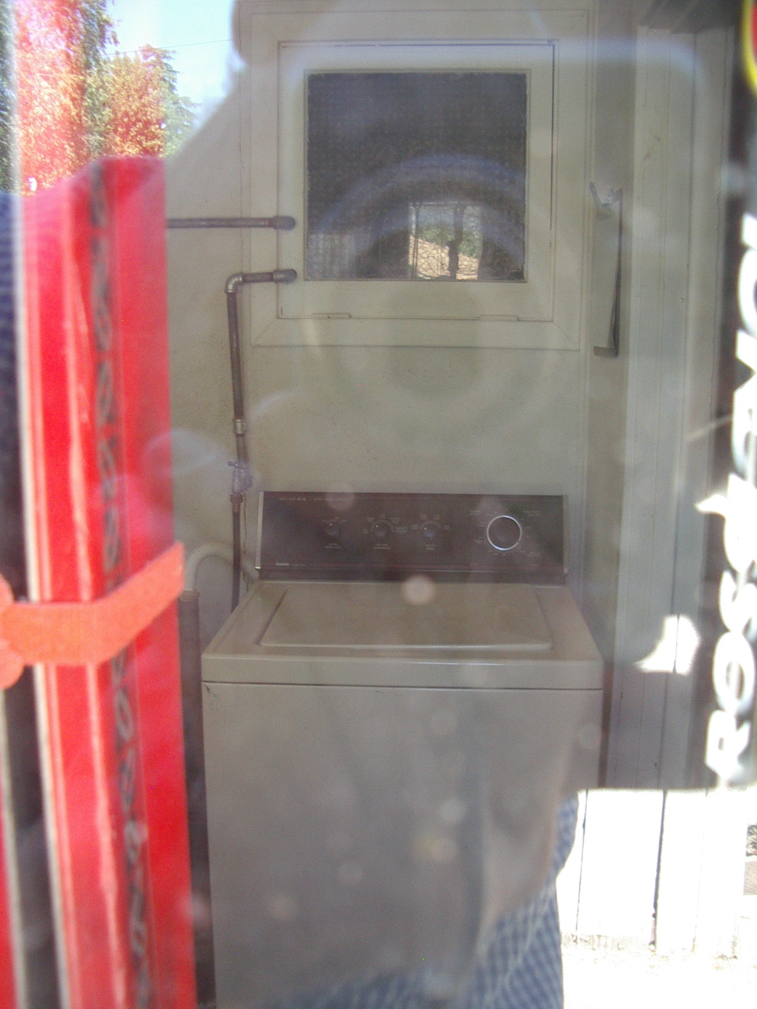
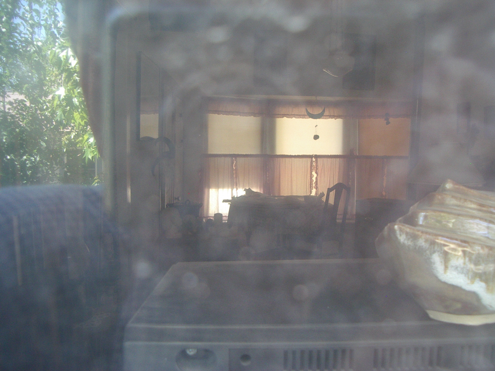
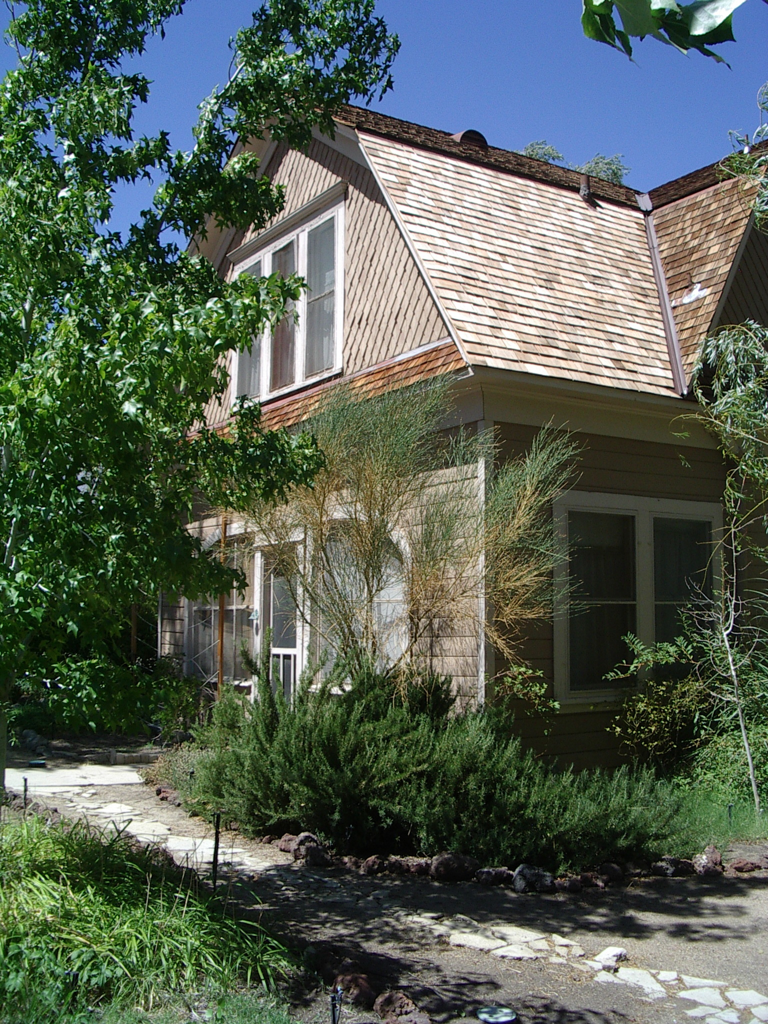
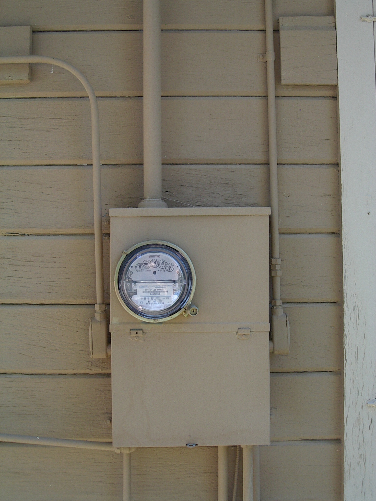
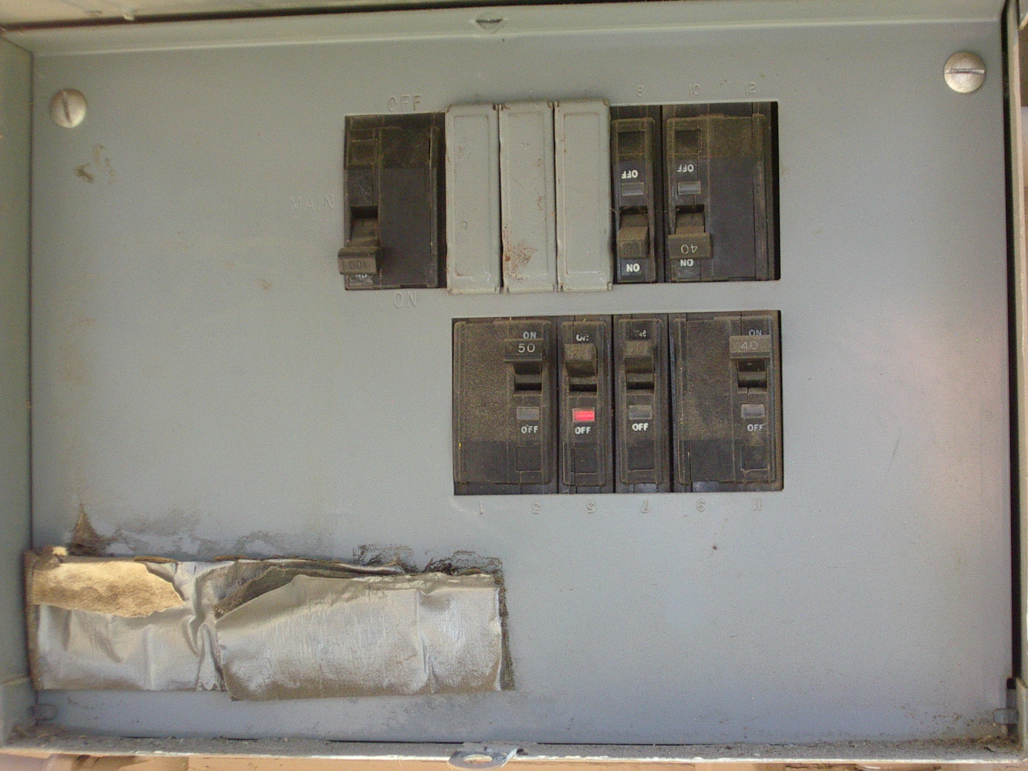
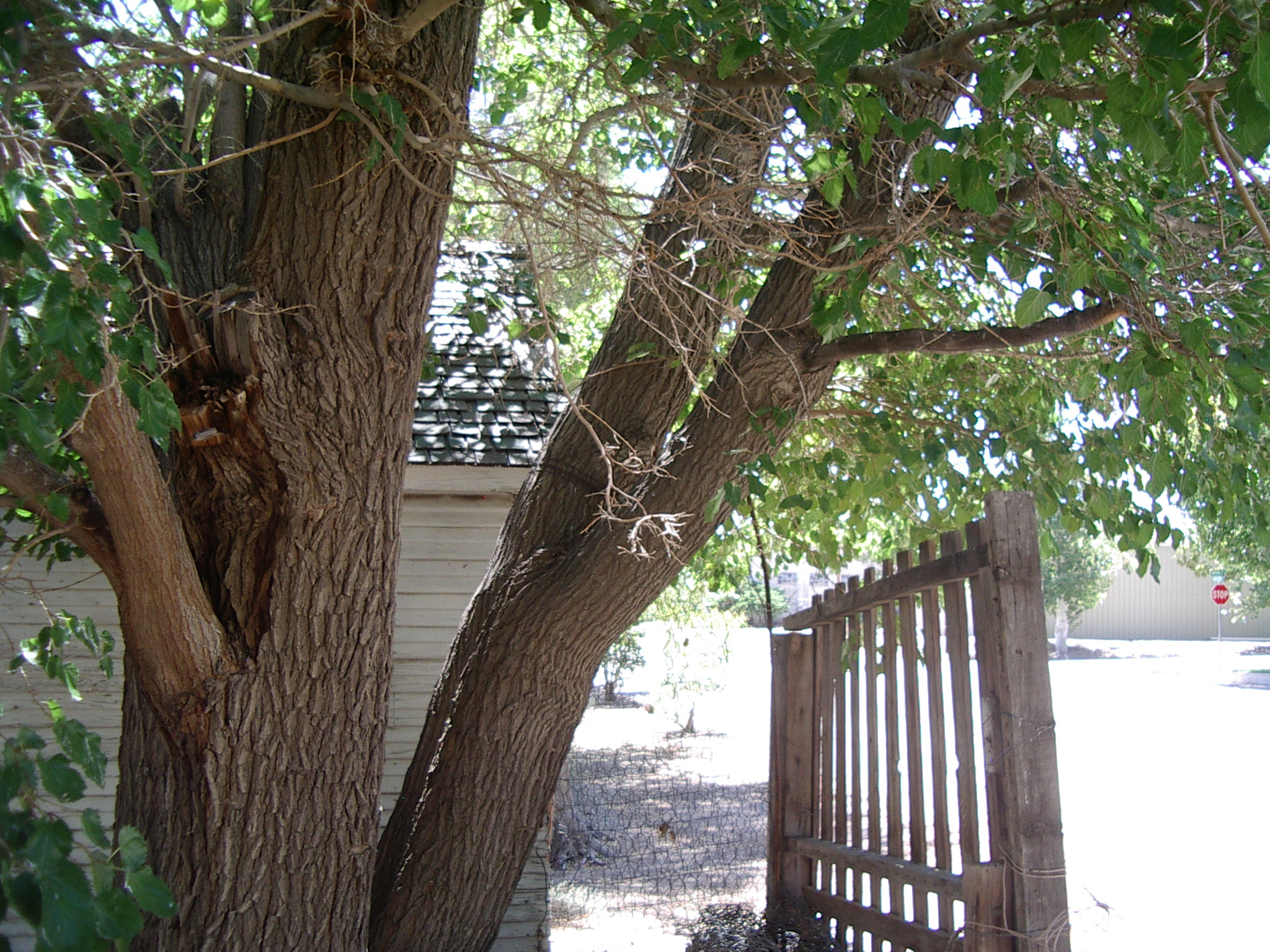
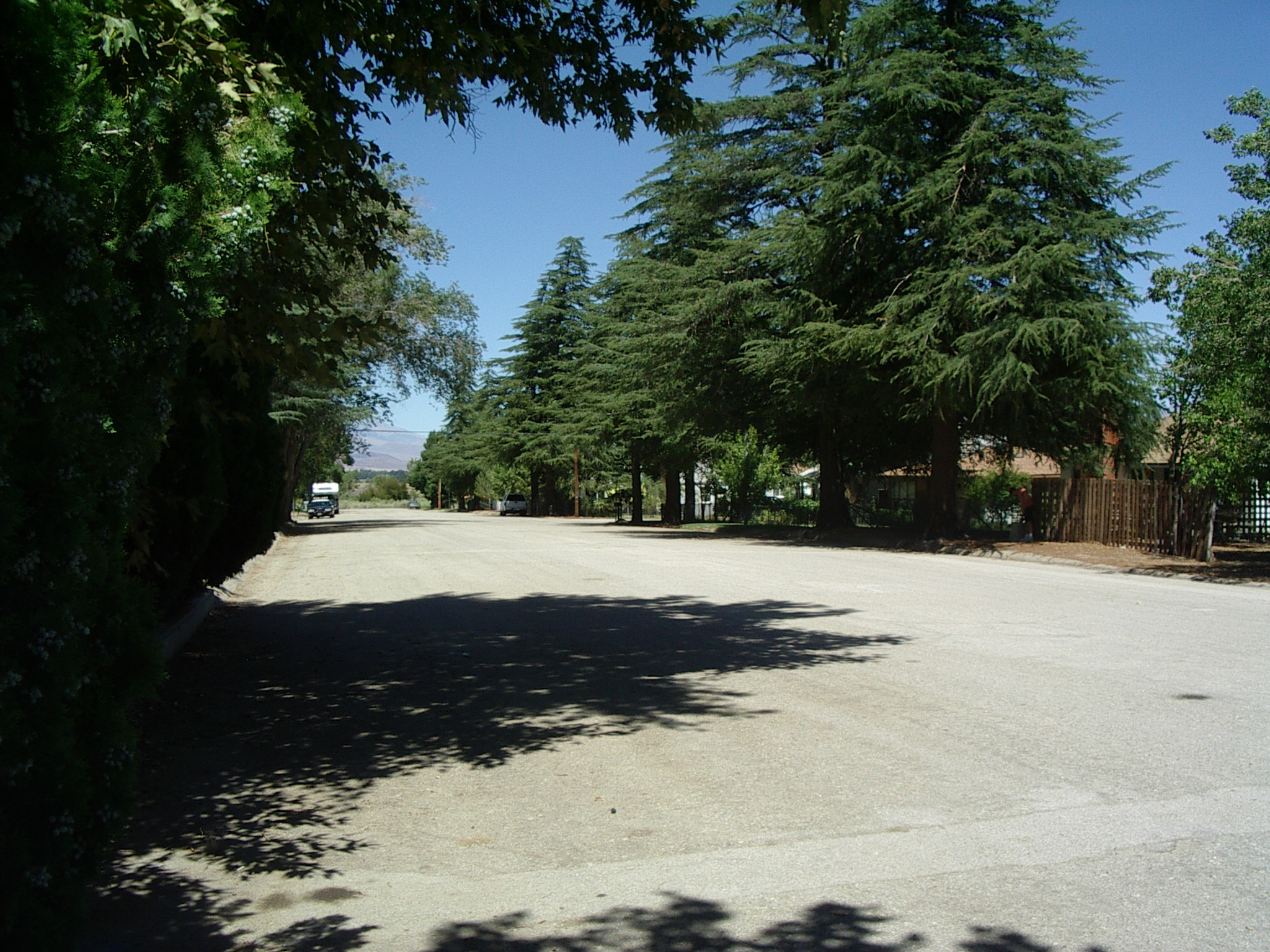
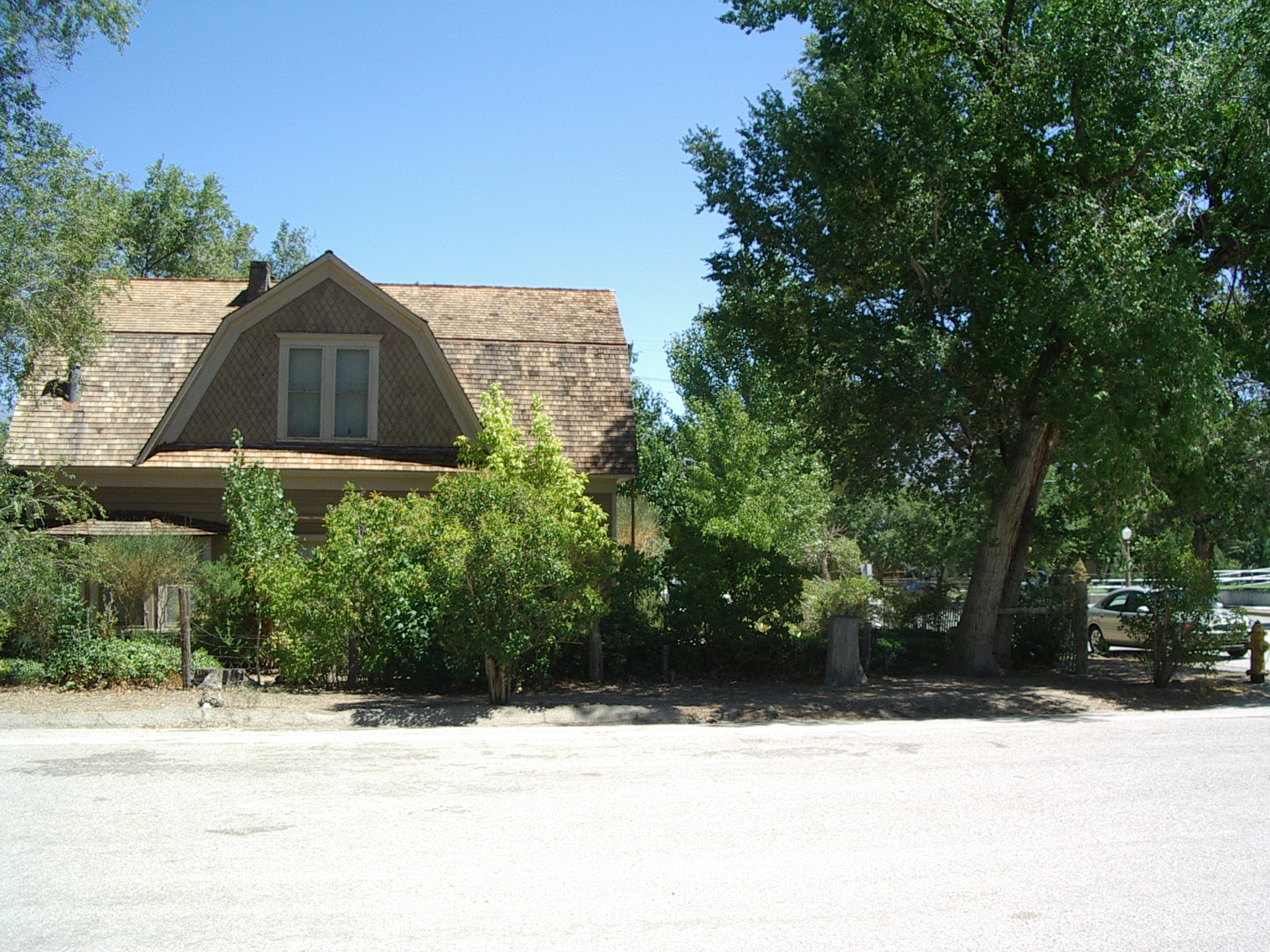
Gordon's house
photo, photo, photo, photo, back yard for base (except for trees at gate), photo, interior, interior, photo, power entry, breaker box, photo, photo, photo, street where base could be, street, house side, phone entry.
Peeling paint, probably not to our living standards (didn't get good interior view). Tree prevents access to good space for trailer in yard. Street parking for trailer possible. 200A meter, 100A main breaker for house.
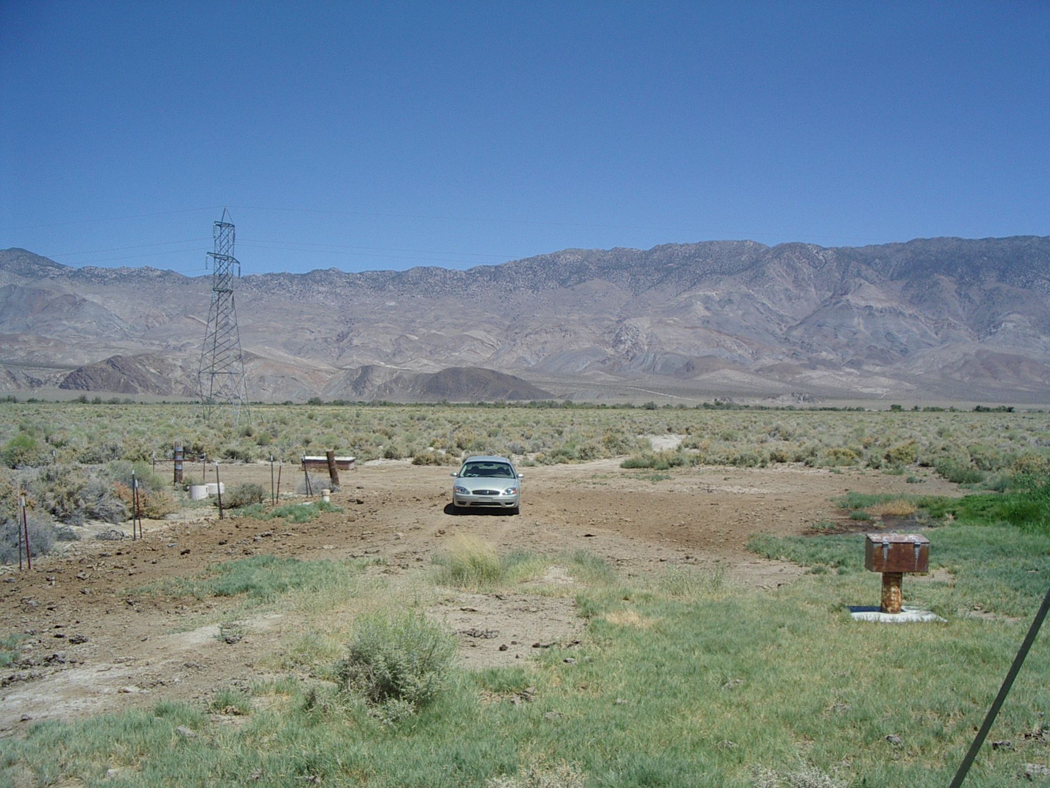
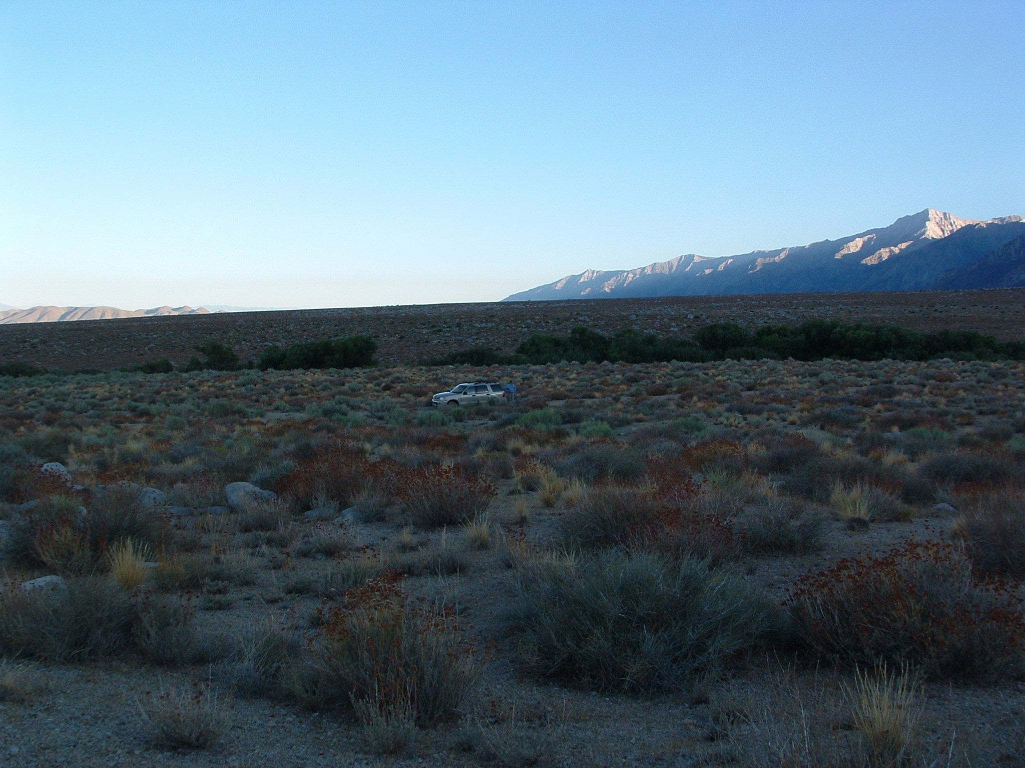
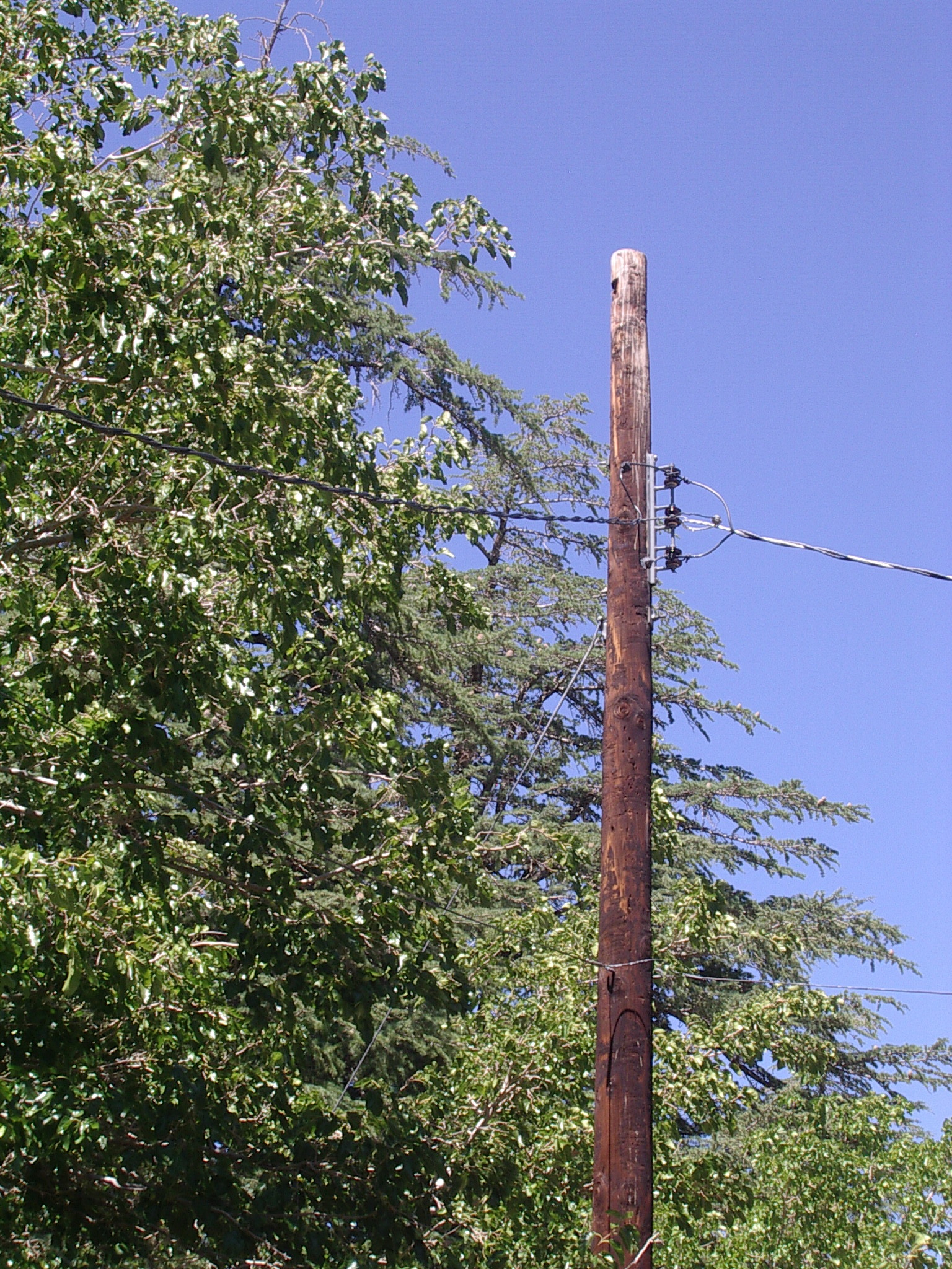
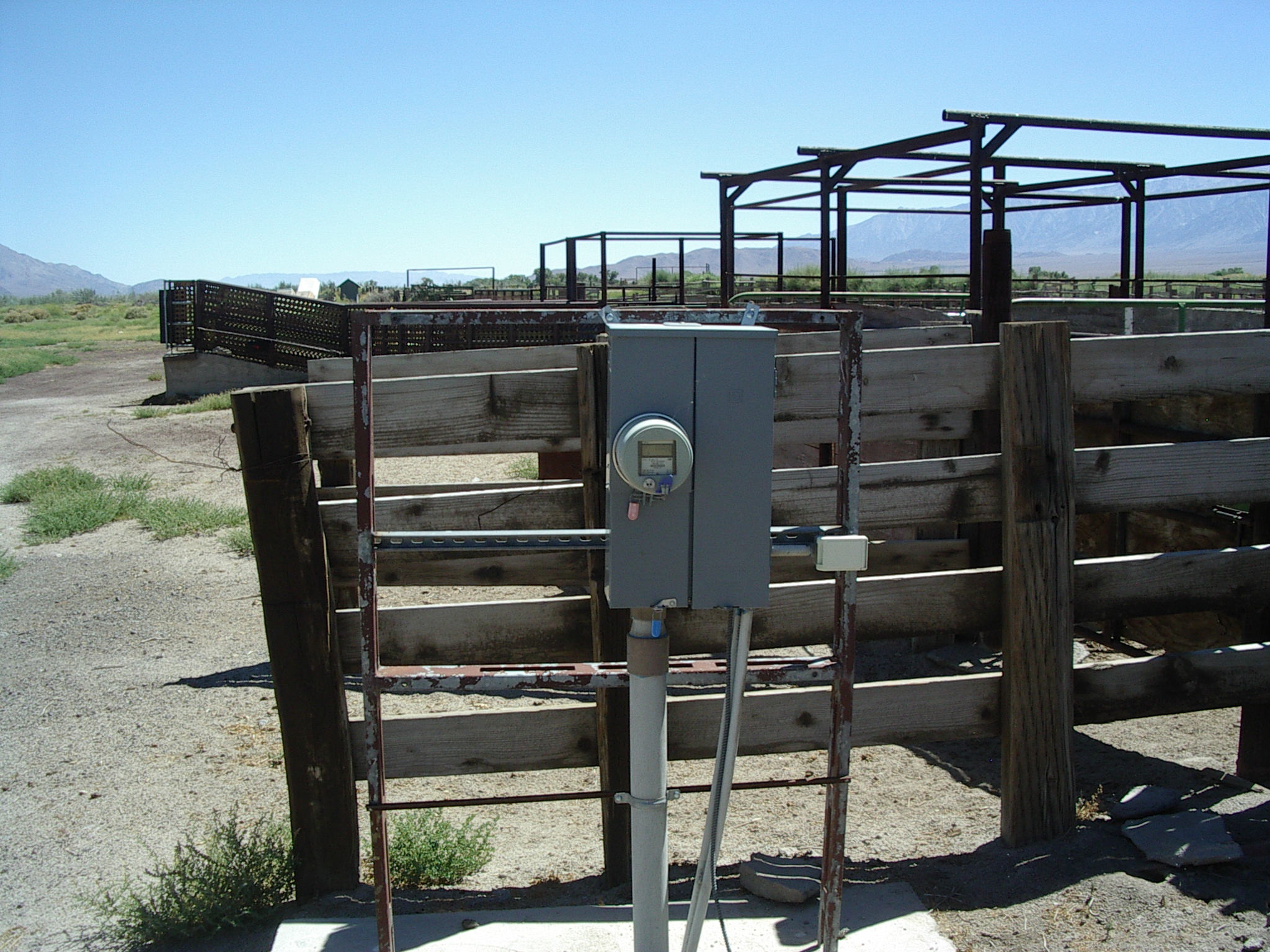
Cattle pen near Central Site (for sodar?) [36d 48.147', 118d 09.213']
power drop, meter, the pen, tower across street.
Probably can do better directly at Central site. Cell building labeled: Cellxion, 877-213-2900 (Louisiana), SCGW1506354.
South site - Option A [No GPS: about 36d 45.547', 118d 15.2']
N, E, S (some trees along creek), W.
Generally, flat, uniform brush. Usually gate is padlocked. Lots of shrubby trees to South, West within 300m. Close to Hwy395. Won't use.
South site - Option B [36d 42.850', 118d 05.699']
N, E, S, W.
Great vista, but rolling since close to Owens River. Would need to carry a bit to get clear of River to East. Probably won't use.