P3 Flight Log:
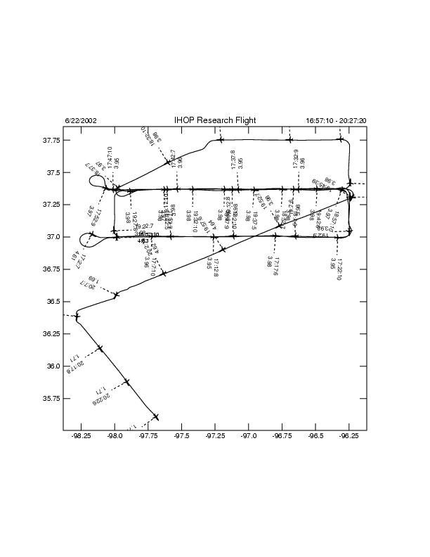
The P3 was scheduled for a 1630 UTC take off to be part of a four hour boundary layer heterogeneity mission. As has been the case for all previous BLH missions, a flight pattern was provided for us to fly. However, prior to take off, I was informed by Jace Dasenbrock (P3 pilot) that the length of the flight was too long and that we would be forced to eliminate the last two legs, which unfortunately included the B-leg over the ISF sites. Once airborne I contacted the OPS center and a modified flight plan was constructed. For informational purposes for the ABL group the pattern was modified as follows: OKC-CART-C6-C9-B9-B6-B9-A9-A7-B6-B9-C9-C6-B6-B9-OKC. A request to complete the A-leg a second time could not completed due to time constraints. The original flight altitude was 14,500? MSL, but at the request of the LEANDRE scientists we descended to 12,500?. There was a significant amount of cumulus clouds over a large portion of the track and the pilots were forced to once again rise to 14,500?. The cloud cover was a minor problem for LEANDRE, but since the boundary layer structure was still being observed, it was decided to continue collecting data for the remainder of the mission. ELDORA had no problems and although the reflectivity values were low, the data appeared to be good. We therefore completed a calibration leg on the way back to OKC, where we landed at 2033 UTC.
Flight Track:
ELDORA Images for this Flight:
(Hit submit to view images, and allow pop-up windows to view interactive flight track.)
