Site Survey
AHATS Site Survey Links
Updated site possibilities (1/25/08); (all are active rangeland with some rolling topography):
Merced County:
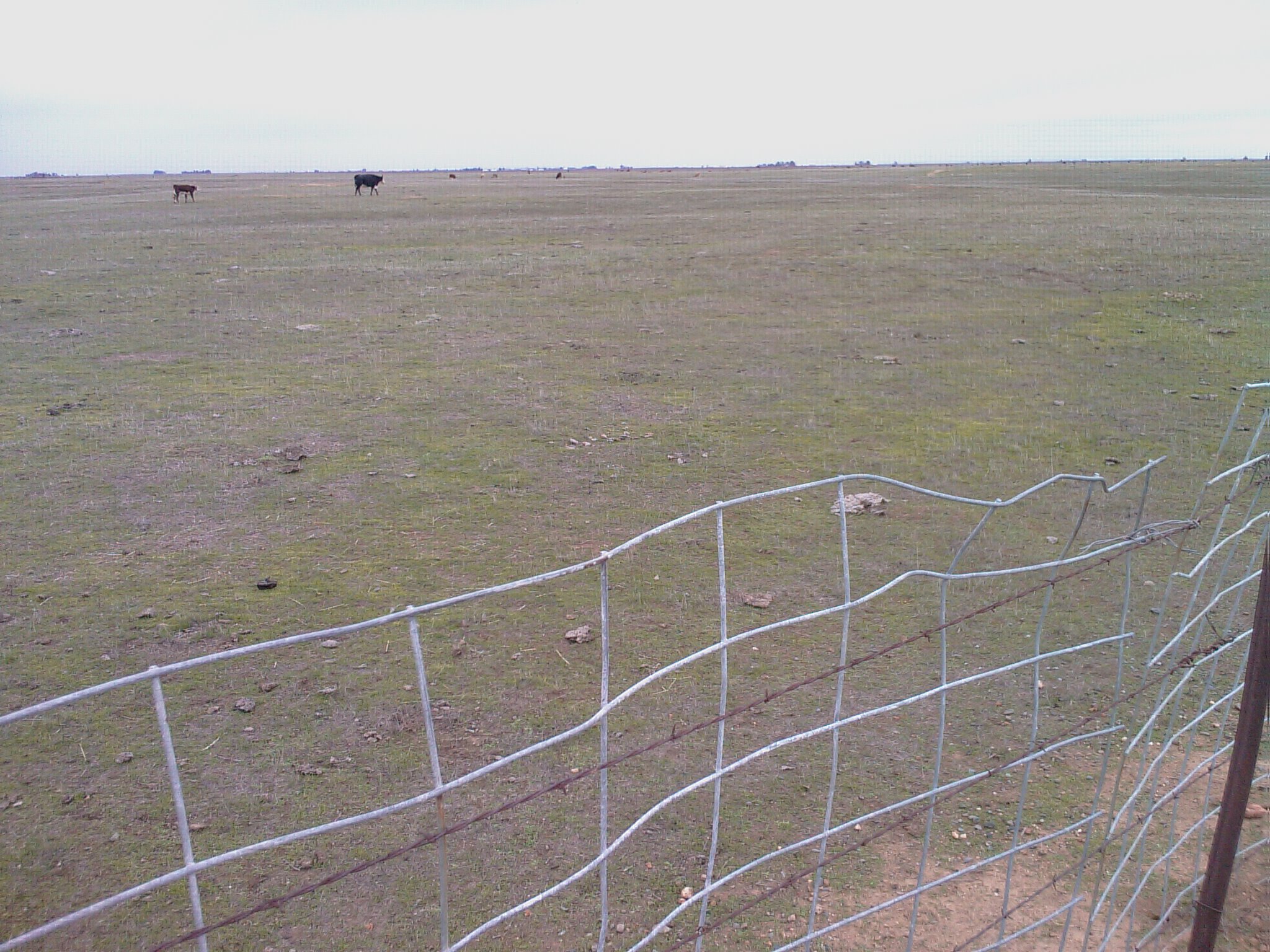
- New Sandy Mush Road site: [37d12'N, 120d31'W]; 1.0mi N-S x 2.5mi E-W; Photo; Google; cattle leasee contacted, will contact owners and call back... All photos from the ISFS site (the meter is across the road -- we probably cannot use); All photos from the ISS site
Madera County (Tom's data clearly show Firebaugh worse, but acceptable enough to follow-up on)
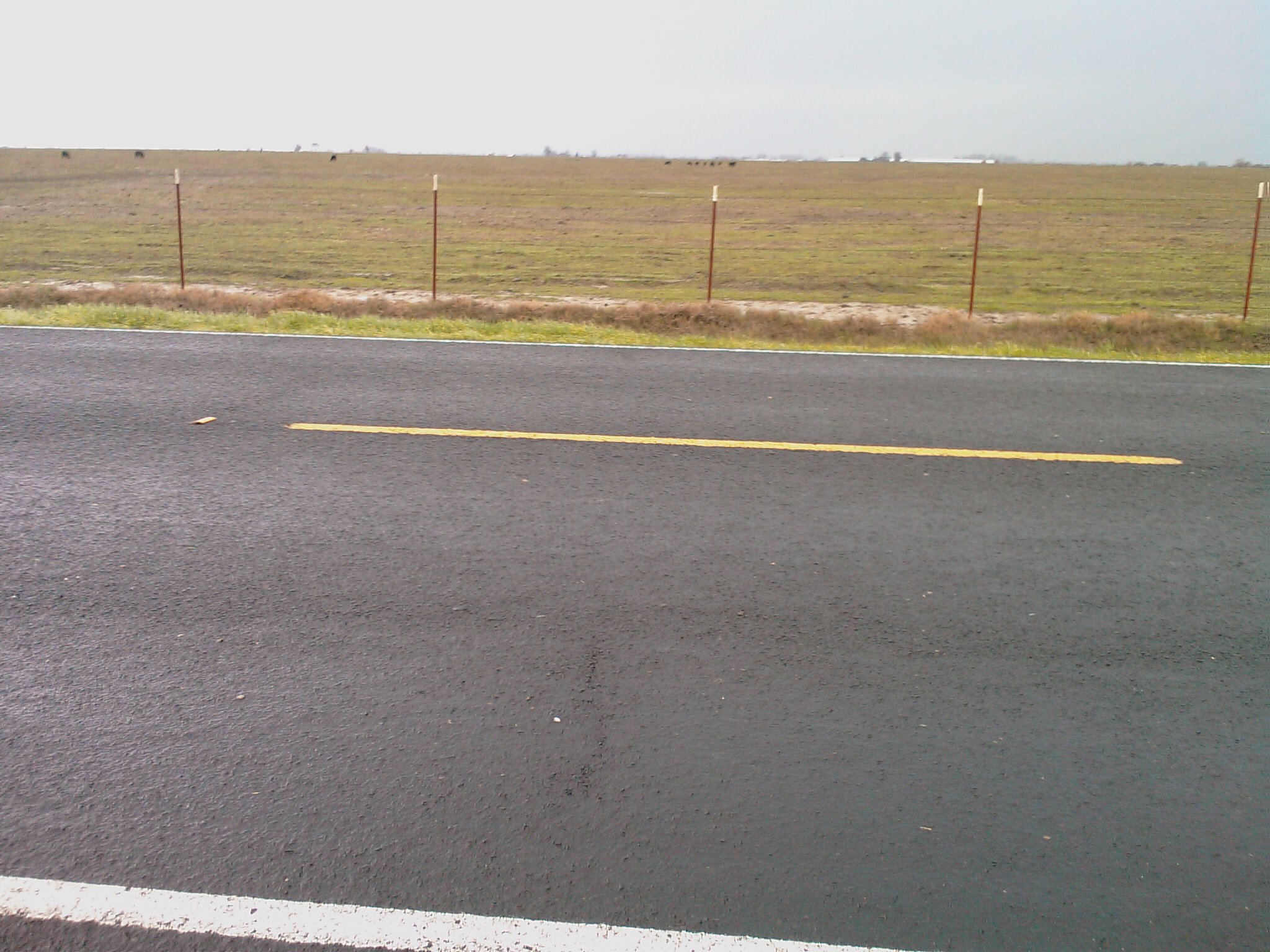
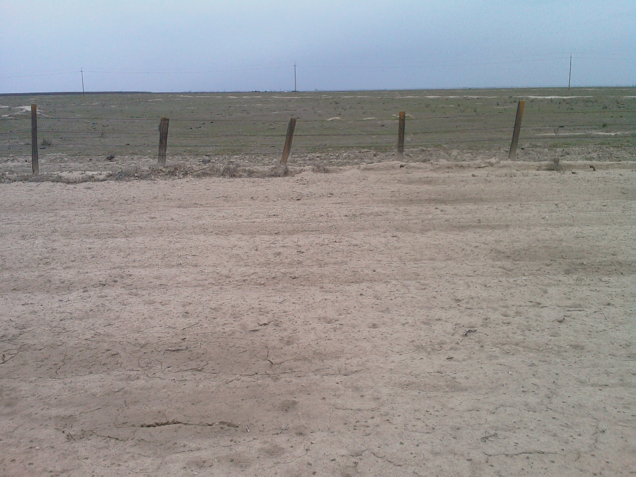
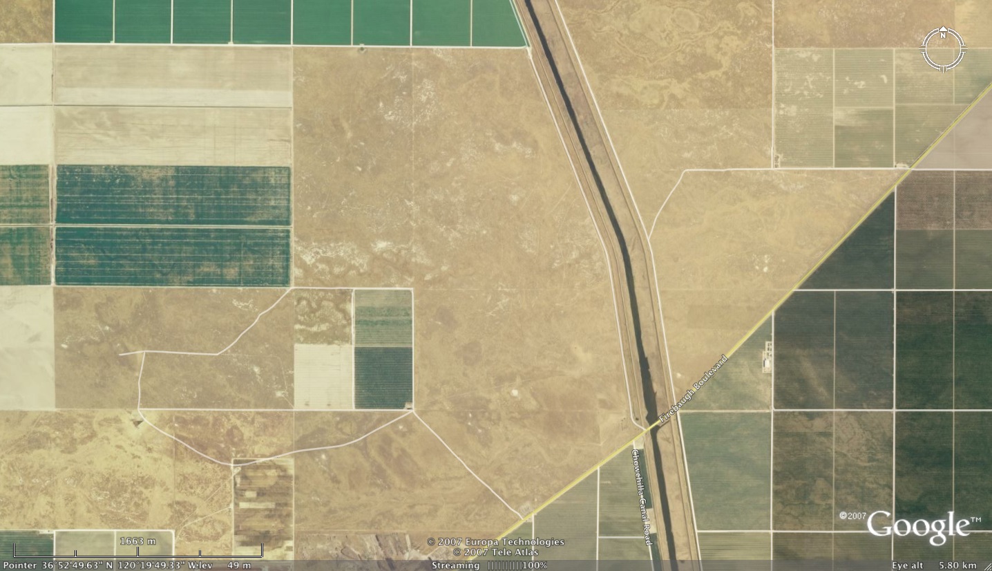
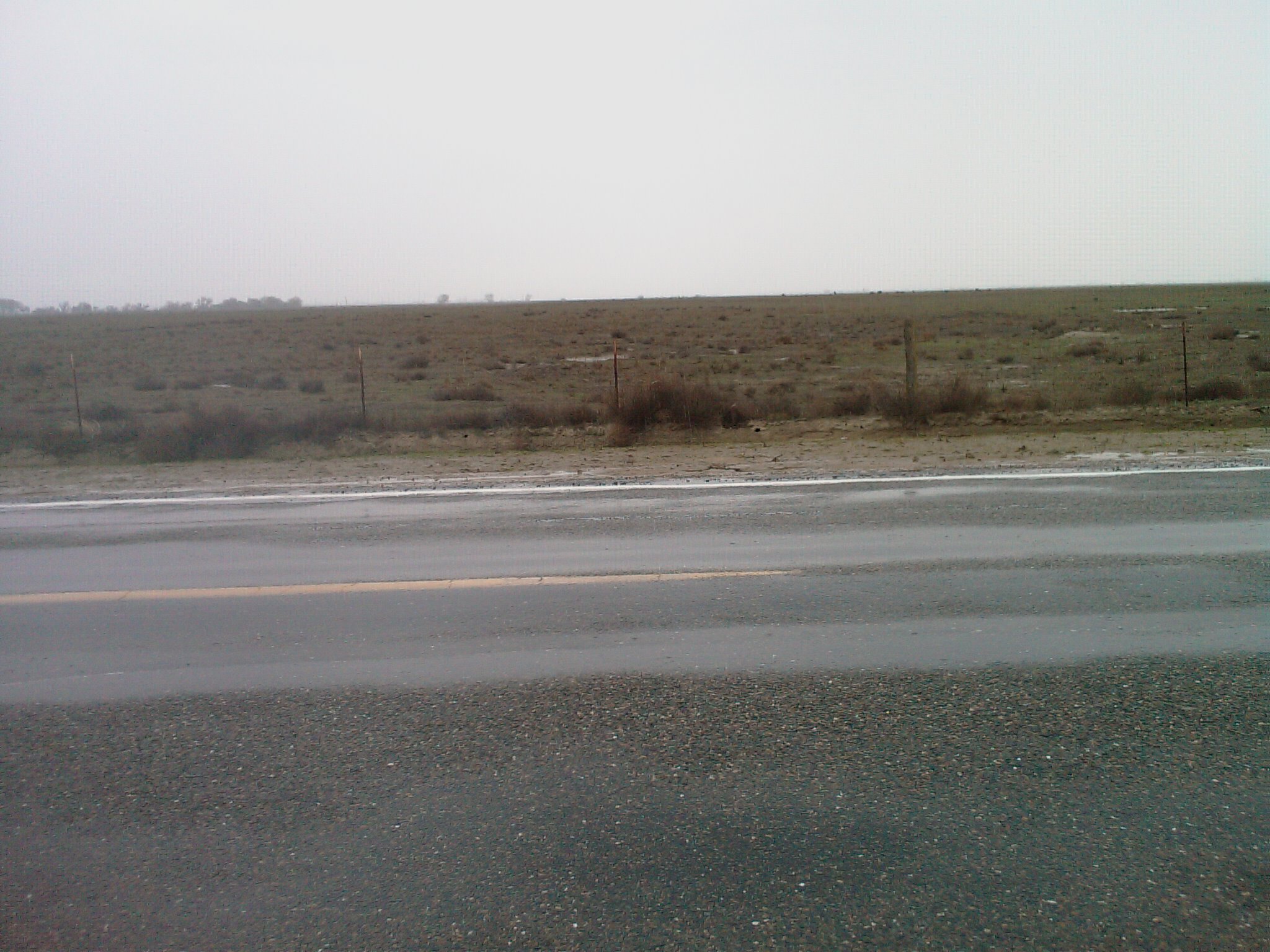
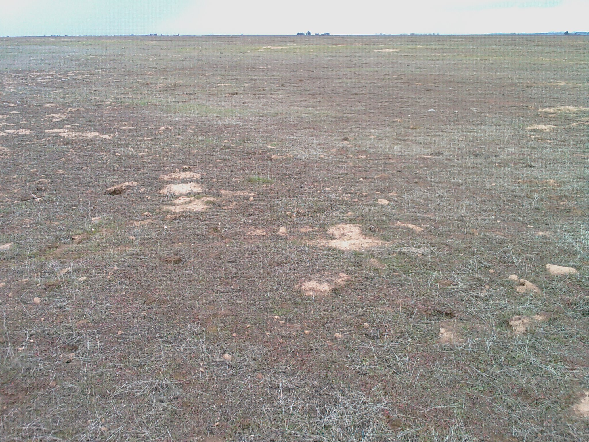
- New Stone Ranch site (also near Firebaugh); [36d52'N, 120d20'W]; 1.5mi N-S x 0.9+mi E-W; Photo; Google; ISS has verbal permission. All photos from this site
- MID site [36d3'N, 120d14'W]; is being revisited -- resent proposal.
Rejected from 1/23/08:
- Avenue 26 (East of Chowchilla); [37d08'N, 120d05'W]; 1.5mi N-S x 2.0mi E-W; [COULDN'T FIND ISS SITE]
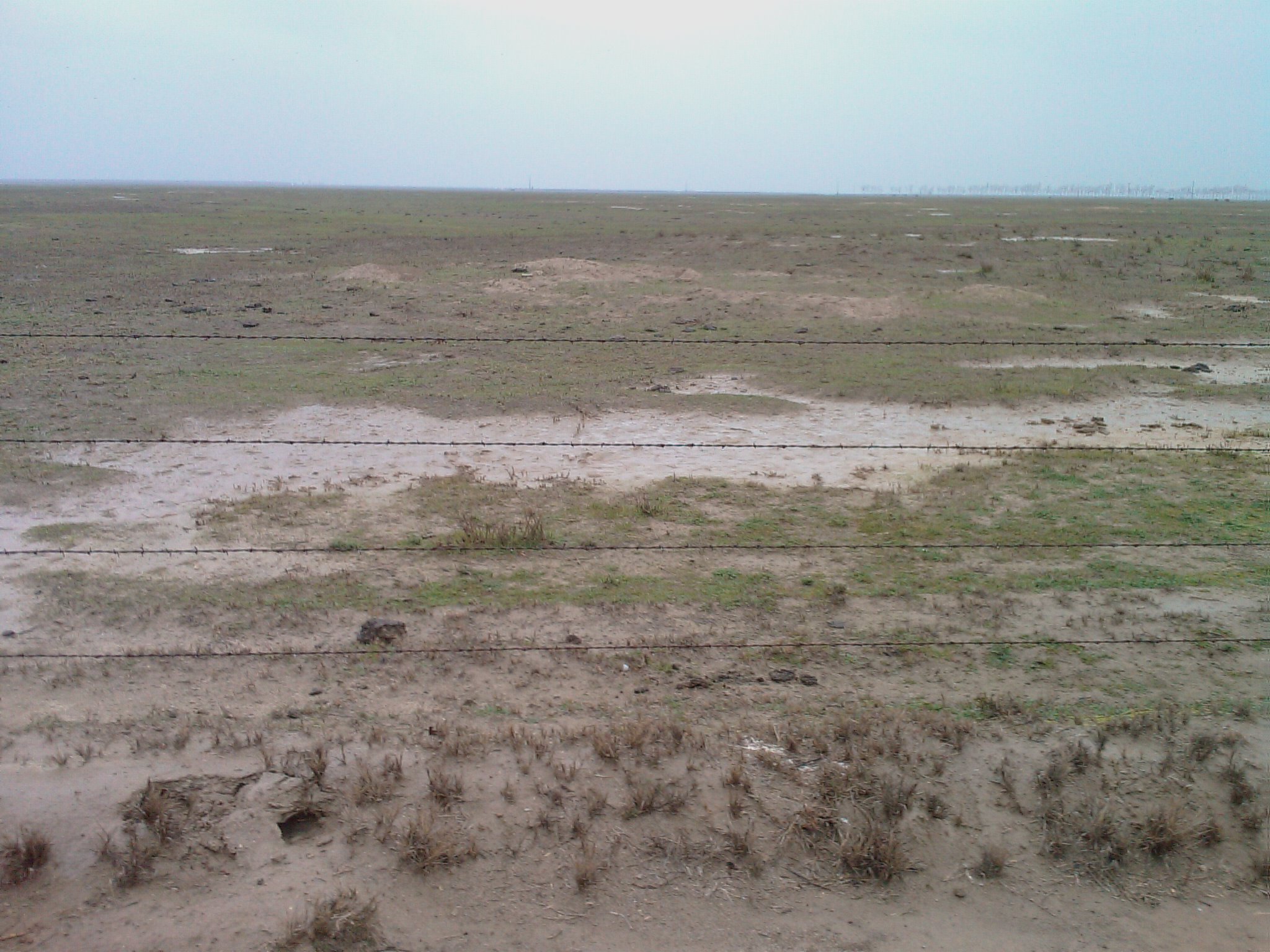
- Road 9 (near Firebaugh); [36d53'N, 120d24'W]; 2.0mi N-S x 2.5mi E-W; Photo; Google; more shrubs than other sites [OWNER REFUSED]
Rejected from 1/22/08:
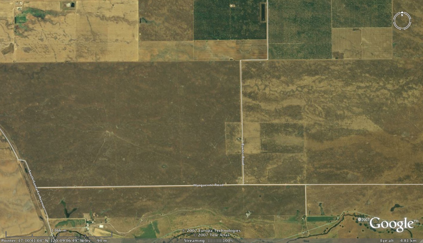
- Baxter Road site #1 (West of Baxter): 1.0mi N-S x 1.6+mi E-W; Photo; Google; Supposedly an Agriculture Research Site; [too many gulleys]
- Baxter Road site #2 (East of Baxter): 1.0mi N-S x 1.0+mi E-W; Photo; Google; [Owner is ill]
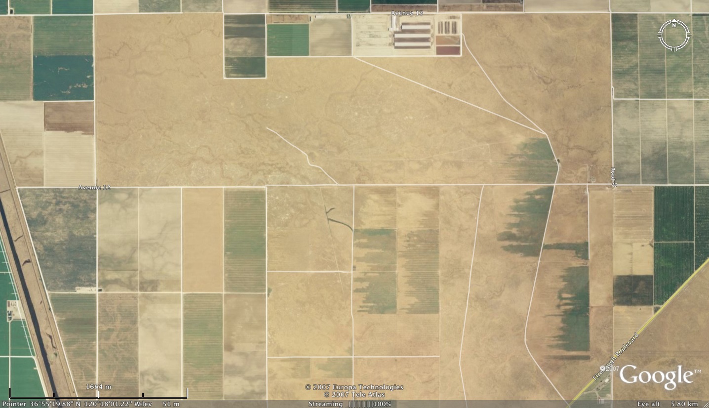
- Avenue 12 (near MID ["rat"] site); 1.0mi N-S x 3.0mi E-W; Photo; Google; [Too muddy now]
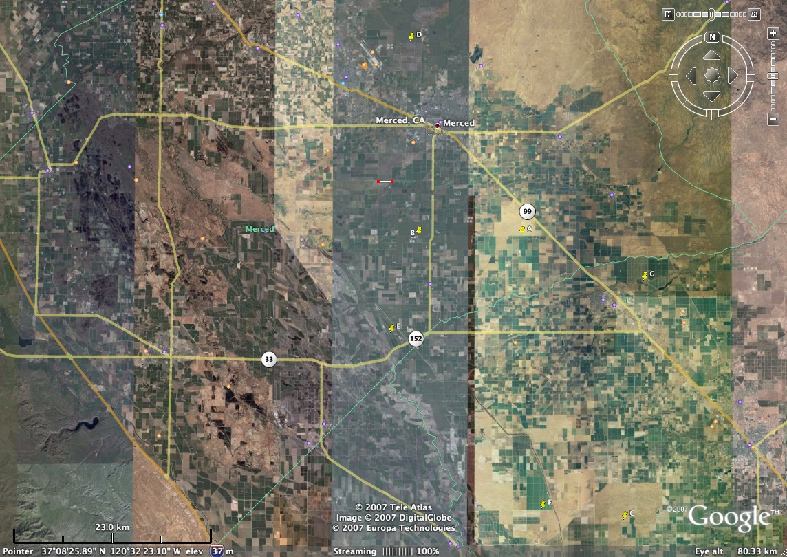
Possible site locations. All views are at the same scale with Northwest (the fetch) up and with the potential tower location near the bottom, center. All sites other than Madera Ranch are in Merced County.
- Madera Ranch (may have endangered species that would prevent operations)
- Sandy Mush Road (waiting for owner response)
- Arboleda Road (looks nice, long fetch, though may be rolling)
- White Rock Road (reasonable fetch though could be rolling; no power/access?)
- Green House Road (near other research activities, about 1.5mi uniform fetch)
- Castle Airport (orchard in middle of 4mi fetch, but still at least 1.5mi) The tower site is right of center in this image.
- Baxter Road (uniform fetch only 1.3mi, but acceptable may be longer)
Regional links:
- Modesto visitors (click on "more" for Lodging or Dining).
- Merced businesses (click on Motel/Hotel or Restaurants)
- Madera businesses (scroll down to "Hotel/Motel" or "Restaurants")
- Oakwood apartments
- Merced Ag Extension Agents
- Madera Ag Extension Agents
- Sandy Mush Wildlife Preserve
- My GoogleEarth image of the region
- Per Diem rate lookup (click on "View a state map" to see the "Merced hole"!)
- Chenning Tong's WWW site
- Kangaroo Rats(see Fresno).
- Fresno Kangaroo Rats (with photo)
- Fresno Kangaroo Rats
AHATS Publications
Data Access
ISF at AHATS
Facilities at AHATS
Facilities & Instruments