About EOL
EOL Organizational Structure
In-situ Sensing Facility (ISF)
Remote Sensing Facility (RSF)
Research Aviation Facility (RAF)
Data Management and Services (DMS)
Design and Fabrication Services (DFS)
Join EOL Team
Contact EOL
Facilities & Instruments
Research Aircraft
Airborne Instrumentation
Ground-based Systems
Research & Development
LAOF Guidebook
Data & Software
Field Data Archive
Field Catalogs
Software Center
User Support
LAOF "Queue"
Request LAOF
Project Management
Design & Fabrication Services
Calibration Laboratory
Education & Outreach
Field Programs
All Field Programs
People
EOL Staff Directory
EOL Research Publications
EOL Patents
EOL Scientists
EOL Staff Awards
News & Events
EOL in the News
EOL Seminar Series
Conferences
For Staff
Log In
CWIG Help Requests
EOL Internal Website
Maintenance
Earth Observing Laboratory
Search form
Search
Mike Strong (NCAR) Photo Gallery
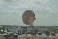
The S-POL radar was set up south of Melbourne, Florida
off of a farm road intersection next to a levee bordering the Saint John's river.
The project was estimating and measuring local rainfall with the radar.
This project was the initiation of the new S-POL SCC (S-POL Control Center).
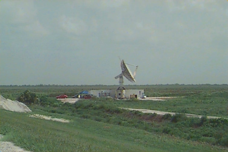
S-POL view from the levee to the west during operations.
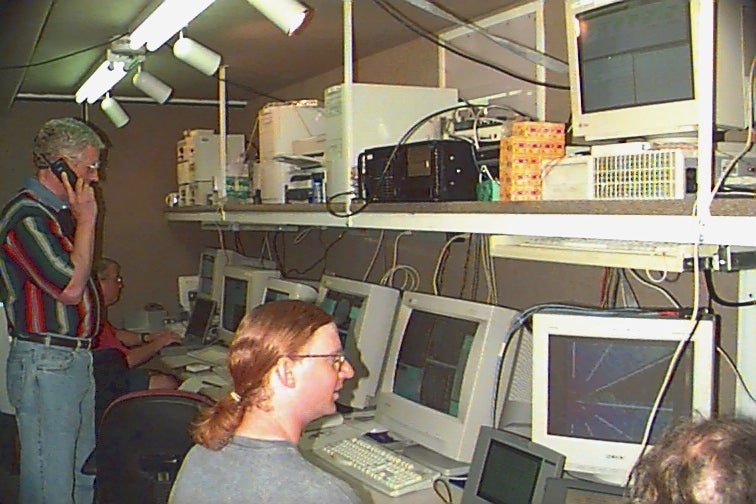
Inside the SCC (S-POL Control Center) during radar operations.
Data Access
Data Access
S-Pol Radar Image Archive
Quick-Look Images
Publications
PRECIP-98 Publications
Documents
Flight Logs & Summaries
Related Links
CAMEX-3 Project Page
CAMEX-3/TEFLUN-B Operations Summaries
TEFLUN-B Project web page
Photos
Mike Strong (NCAR) Photo Gallery
Log In