MAIRE25
Methane Emissions Quantification at scale using the MethaneAIR Imaging Spectrometer on the NSF Gulfstream-V 2025

Why It Matters - Data collected will shed light on methane emissions across broad regions and how they break down among key sources such as oil and gas operations, landfills, and natural seeps.
MethaneAIR is a sophisticated airborne imaging spectrometer designed to efficiently map large regions with high precision and detail. It produces high-resolution images of methane total column concentrations with unprecedented swath width and accuracy. The MAIRE2026 campaign enabled a robust, quantitative assessment of methane emissions from the oil and gas operations and other sources regions, ranging from individual emitters at the scale of 20 m to regional patterns spanning up to 200 km (e.g., agriculture). The resulting dataset will provide a multi-scale, consistent estimate of methane emissions, both aggregated and broken down by source, complete with rigorous uncertainty estimates.
The comprehensive assessment of methane emissions from a major portion of US oil and gas production could have a significant societal impact. Methane emissions are currently at the center of scientific debate and proposed regulations, yet we still lack reliable information about total emissions and the specific sources driving them. We also don’t yet understand why some regions emit more methane than others. This work will bring new clarity to these questions, providing insight at a level that has never been possible before.
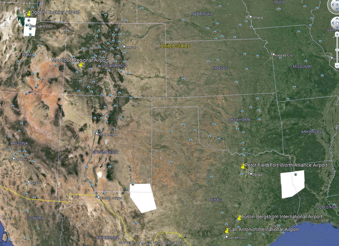
MAIRE25 Area of Interest
MAIRE2025 flights captured comprehensive measurements across oil and gas provinces that collectively represent more than half of all US land-based natural gas production. The campaign focused on answering several key questions:
- What are the basin-scale emission rates for each target regions?
- How are those emissions distributed between large point sources and the many smaller, more diffuse sources?
- What drives differences in total emissions and source partitioning among various oil and gas basins?
As a secondary objective, the campaign also quantified methane emissions from landfills within or near the target regions to asses the effectiveness of existing methane capture technologies.
Principal Investigator
- Dr. Steve Wofsy (Harvard University)
EOL Project Managers
- Pei Tsai, NCAR/EOL/RAF
- Cory Wolff, NCAR/EOL/RAF
Data Manager
- EOL Archive NCAR/EOL/DMS