LIFT
Low-level Internal Flow of Tornadoes
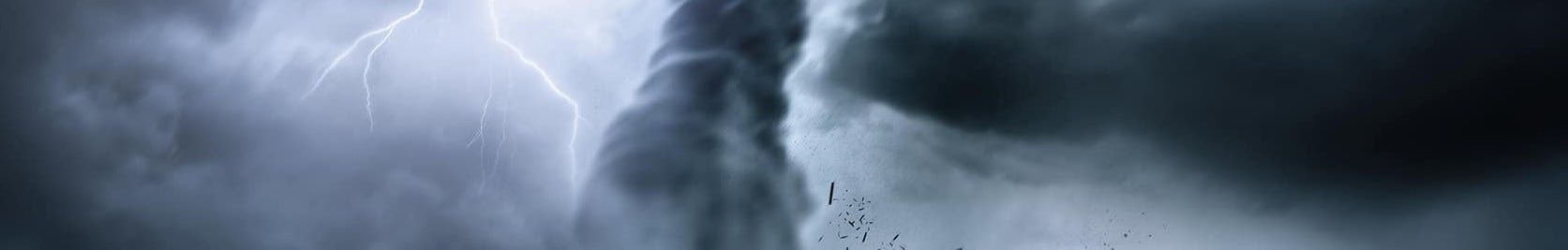
Why It Matters - Tornadoes cause major damage and loss of life. Data from this study will provide near-ground tornado measurements needed to improve warnings, strengthen building practices, and better understand the winds that cause the most damage.
It is well understood that tornadoes represent a significant disruption to society, both in human tolls and economic impacts. The community has made great strides in recent decades in the forecasting of the parent tornadic storms, and, further, particularly through efforts such as VORTEX, VORTEX2, VORTEX-SE/USA, has made headway in understanding the processes within the mesoscale and storm-scale that effectively contribute to the development of low-level (i.e., lowest 2 km AGL) vertical vorticity. However, there remains an equally important state space on the scale of the tornado itself that, comparatively, remains less explored and further illuminates our understanding of both the predictability and impact of tornadoes.
There have been prior efforts to document tornado structure using field campaigns, particularly with X-band mobile Doppler radar (e.g., DOWs, RaXPol, UMass-X), though such campaigns tended to focus heavily on storm-scale and mesocyclone-scale structures and processes rather than truly targeting the tornado scale. A variety of other existing and emerging technologies are further available to drive this effort, but, up until now, they have largely been used in rather ad hoc campaigns, either in isolation or as tag-ons to larger funded efforts (e.g., TORUS).
LIFT is a three-year campaign to assemble some of these key instruments that feature the resolution and sensitivity necessary to make significant gains in our understanding of (1) low-level processes and structure within the tornado and (2) the resulting effects on land cover and the built environment and, in turn, better understanding of tornado intensity in rural areas. In particular, LIFT is dedicated to observing the low-level wind field in and near tornadoes, ascertaining both the structure of the tornado core flow itself and the immediate mesocyclone-scale environment surrounding it. The observing campaign will be conducted in relatively flat, treeless portions of the southern and central Plains region because the tornado low-level flow and corner features are nearly impossible to observe elsewhere. Here, the occasional variations in land use, roughness, and terrain will provide an ideal laboratory for understanding the impacts on tornado morphology and kinematics. A suite of ground-based mobile instrumentation were deployed for the campaign including the Texas Tech University Ka-Band radars, NSSL PodRads (vertically pointing x-band radars), NSSL Doppler lidar, NOXP Doppler radar, phased-array x-band Doppler lidar, wind photogrammetry systems, and UAS imagery systems for damage surveys. Other innovative technologies may also be added for the following years.
Principal Investigators
- Christopher Weiss Texas Tech University
- Erik Rasmussen National Severe Storms Laboratory
- Melissa Wagner CIWRO
- Michael Coniglio National Severe Storms Laboratory
- Jeff Snyder National Severe Storms Laboratory
- Anthony Reinhart National Severe Storms Laboratory
- Sean Waugh National Severe Storms Laboratory
Data Manager
EOL Archive NCAR/EOL/DMS