CONCORDIASI
Concordiasi
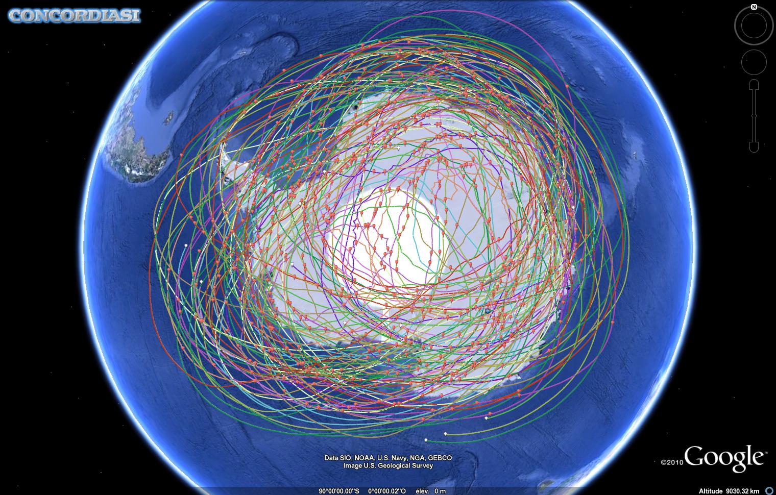
Concordiasi is a joint French-United States initiative that started during the International Polar Year (IPY). The field experiments took place over Antarctica during September-November 2008, December 2009, and September-December 2010.
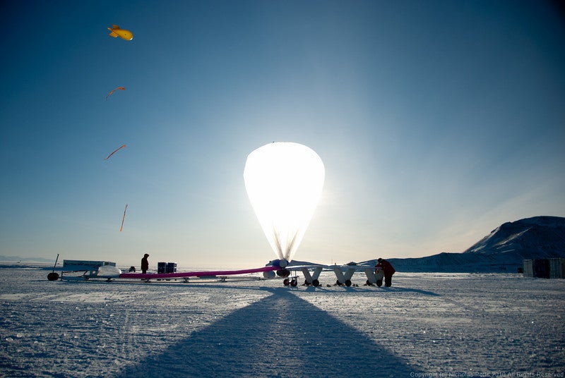
Concordiasi is a multidisciplinary effort employing a constellation of long-duration instrumented stratospheric balloons as well as in situ observations at the Concordia (75°S, 123°E) and at the Dumont d'Urville (66°S, 140°E) stations on the coast of Adelie Land. The research plan included investigations ranging from ozone transport and depletion, and microphysics of polar stratospheric clouds to the use of satellite data to improve operational analyses and reanalyses used for climate research. Concordiasi will also address the meteorology of the plateau, including clouds, precipitation accumulation, and the structure and dynamics of the boundary layer over Antarctica. Modeling investigations will be inherently multiscale, using high-resolution mesoscale models, numerical weather prediction systems, and global climate models. The modeling and observational datasets will result in collaborative efforts in satellite data assimilation, and in understanding Antarctic clouds and precipitation, the evolution of the stable boundary layer, and the interplay among polar stratospheric clouds, gravity waves, vortex dynamics, and ozone depletion.
The United States component of Concordiasi included:
- High-accuracy, dual frequency GPS receivers developed at Purdue University flown on the CNES balloons. Such receivers have the potential to produce GPS radio occultation profiles of refractivity, from which temperature and humidity profiles can be derived.
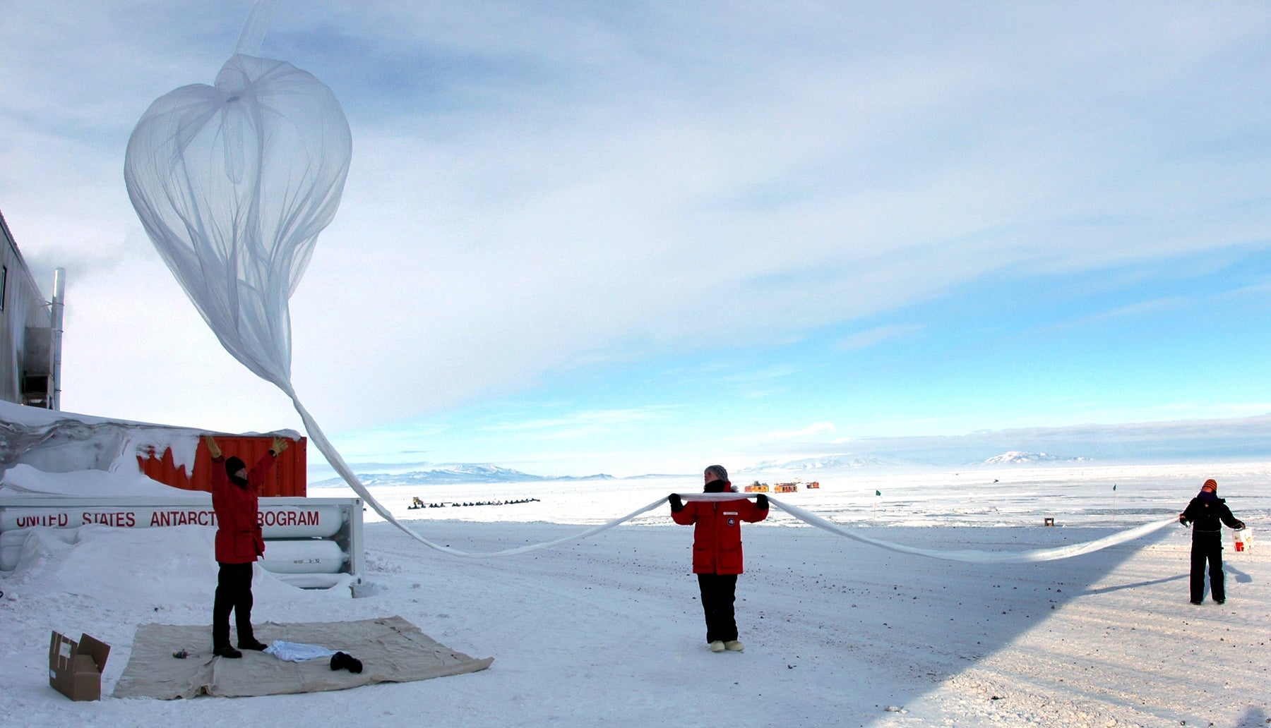
- Driftsondes developed by NCAR. These are balloons that carry gondolas with up to 50 miniature GPS dropsondes. The dropsondes can be released upon command, falling from the balloon flight level to the surface while producing a high resolution vertical profile of temperature, humidity, winds and pressure.
- Small lightweight sensors to perform ozone observations during long-duration superpressure balloon flights developed at the University of Colorado.
- Measurements of polar stratospheric clouds using particle counters developed at the University of Wyoming. These were flown on the CNES superpressure balloons. The University of Wyoming also provided vertical profiles of ozone and meteorological parameters from ozonesondes released at McMurdo.
|
|
|
|
|
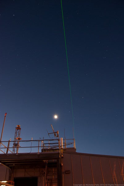
Driftsonde balloon and tethered balloon. Click image for full resolution. Imagery Courtesy Nick Potts (NCAR/EOL).
|
Lidar at Crary Lab McMurdo. Click image for full resolution. Imagery Courtesy Nick Potts (NCAR/EOL).
|
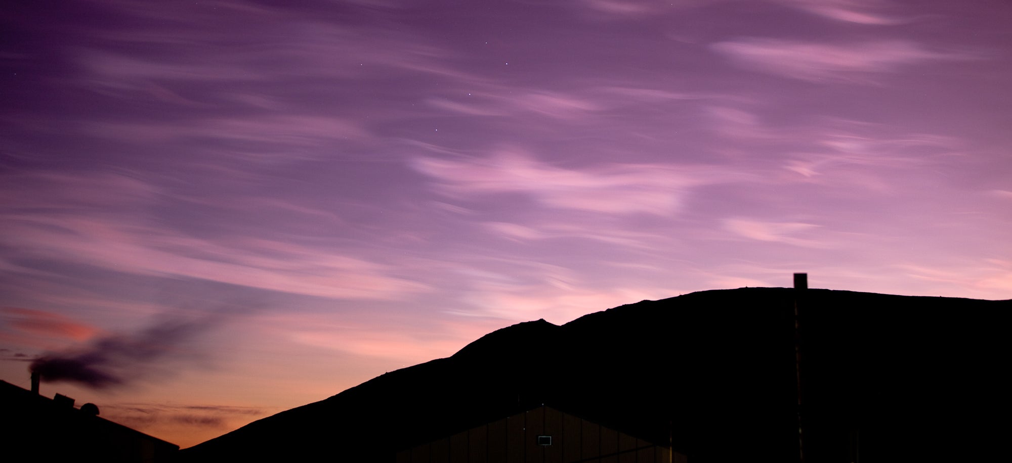
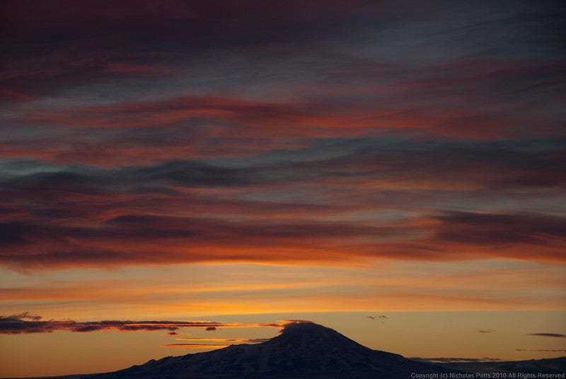
McMurdo sunset. Click image for full resolution. Imagery Courtesy Nick Potts (NCAR/EOL).
|
All photos copyright University Corporation for Atmospheric Research unless otherwise noted.
Data Manager:
- EOL Archive NCAR/EOL/DMS