CASES-97
Cooperative Atmospheric Surface Exchange Study 1997
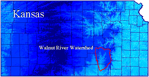
CASES-97 was the first of several field efforts under the umbrella of the Cooperative Atmosphere Surface Exchange Study (CASES). The objective of CASES was to understand and parameterize the interactions between the earth's surface and its vegetation and the atmosphere, from turbulence time scales to years. The needed observations and their interpretation were obtained through the cooperation of scientists from diverse fields with support and instrumentation from several organizations. Information about the Atmospheric Boundary Layer Experiments (ABLE) at Argonne National Laboratory can be found at http://www.atmos.anl.gov/ABLE.
 |
|
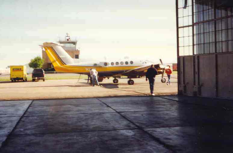
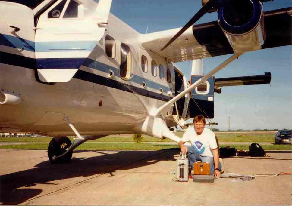
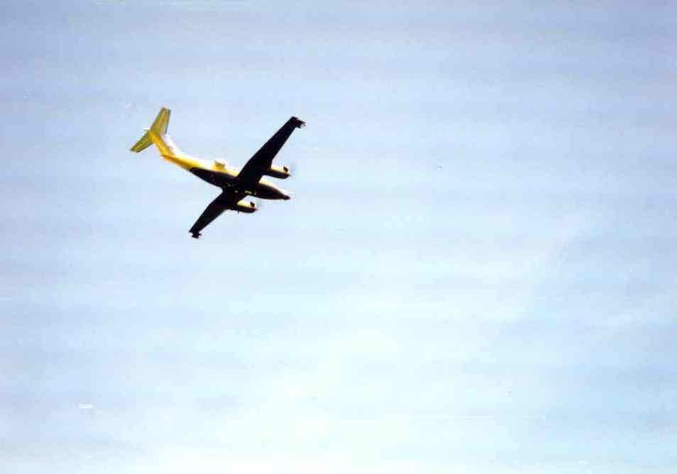
King Air
(Click Image for Full Resolution) |
CASES-97 was a confederation of loosely coordinated complementary experiments. CASES-97-1 focused on features of the fair-weather boundary and its evolution. CASES-97-2 focused on radar precipitation algorithm verification and development. CASES-97-1a and CASES-97-1b were tightly coordinated. CASES-97-2 PIs focused on obtaining fair-weather radar scans to supplement CASES-97-1a and CASES-97-1b measurements. CASES-97-1c had a concentrated effort to follow drydown after rainfall events, as well as consulting on soil moisture conditions. CASES-97-1c also involved a post-field phase data-analysis effort. See the table below for specific CASES experiment objectives.
Scientific Objectives
|
Experiment |
Objectives |
PIs |
|---|---|---|
| CASES-97-1a | a. Characterize PBL diurnal cycle | R. Grossman M. LeMone R. Coulter M. Wesely |
| b. Perform budgets of PBL heat, moisture momentum to determine role of surface processes | ||
| c. Provide dataset for use in models, testing of parameterizations for surface/PBL | ||
| d. Evaluate ABLE instrumentation and identify critical needs for long-term observations | ||
| CASES-97-1b | a. Field-test new bistatic radar | T. Weckwerth |
| b. Roll-vortex investigations | ||
| CASES-97-1c | Determine length scales for soil-moisture content, soil hydraulic processes, and precipitation | R. Cuenca |
| CASES-97-2 | a. Improve existing WSR-88D rainfall estimation | E. Brandes J. Vivekanandan J. Wilson D. Zrnic V. Chandrasekar |
| b. Evaluate dual-polarization rainfall estimation |
|
|
|||
|
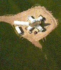
Aerial view of the S-POL radar and MOCCA (control center).
The S-POL radar was set up in a wheat field 200 feet off of a farm road located 5 miles west of Wichita, Kansas. The project used the radar to estimate and measure rainfall over the Walnut Creek watershed, east of Wichita, where there were many rain gauges. This was the first time S-POL was out of Colorado. Photo courtesy Mike Strong. |
|||
|
|
|
|
|
|
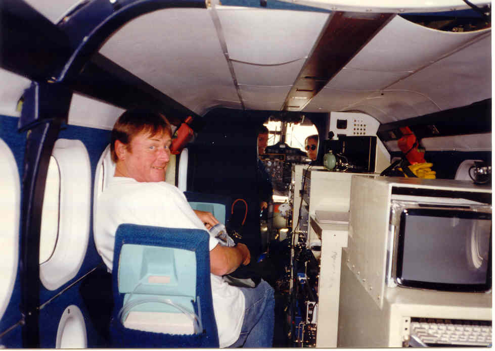
Aircraft Instruments
|
Twin Otter
|
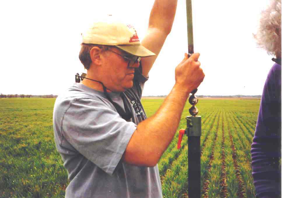
Instrument Setup
|
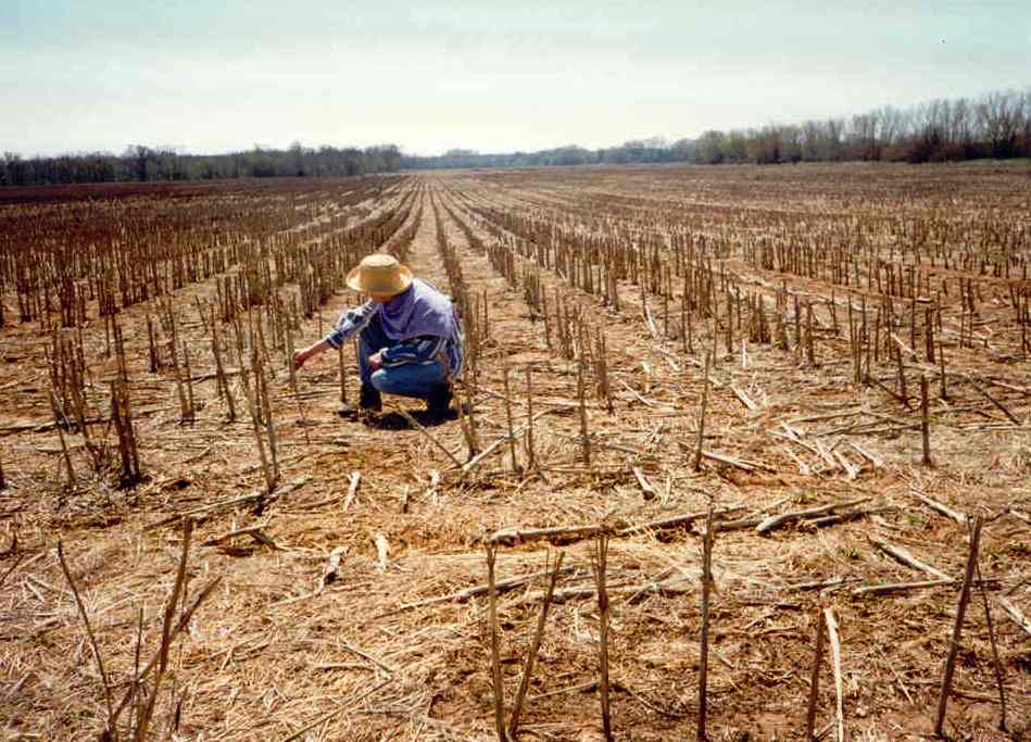
Farm Field
|
|
|
|
|
|
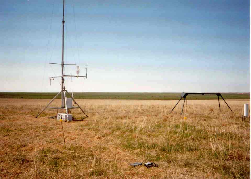
Instruments
|
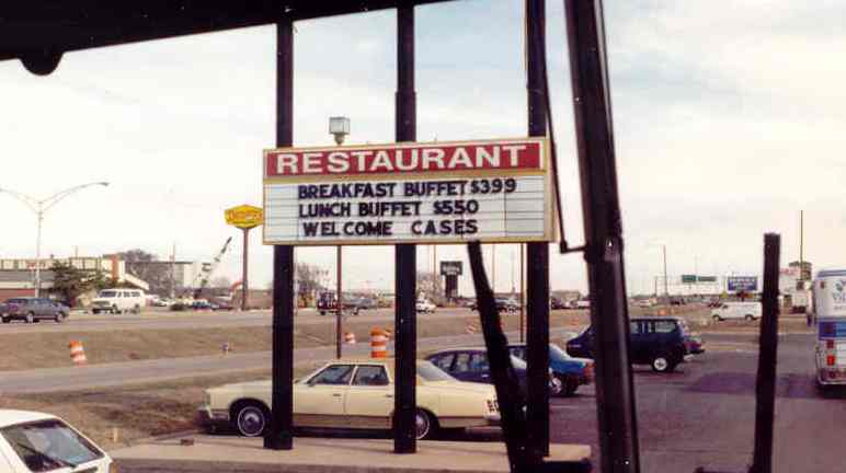
Welcome Sign
|
King Air
|
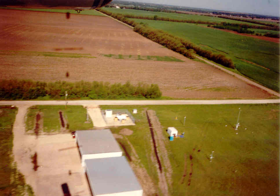
Aerial View
|
All photos courtesy of Margaret LeMone and Julie Lundquist unless otherwise noted.
Principal Investigators:
- Margaret Lemone NCAR
- Tammy Weckwerth NCAR/EOL
Project Manager:
Data Manager:
- EOL Archive NCAR/EOL