Mike Strong's Pre-INDOEX Photos
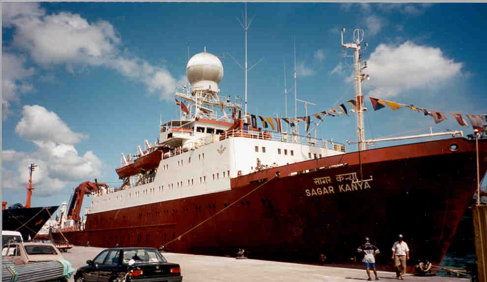
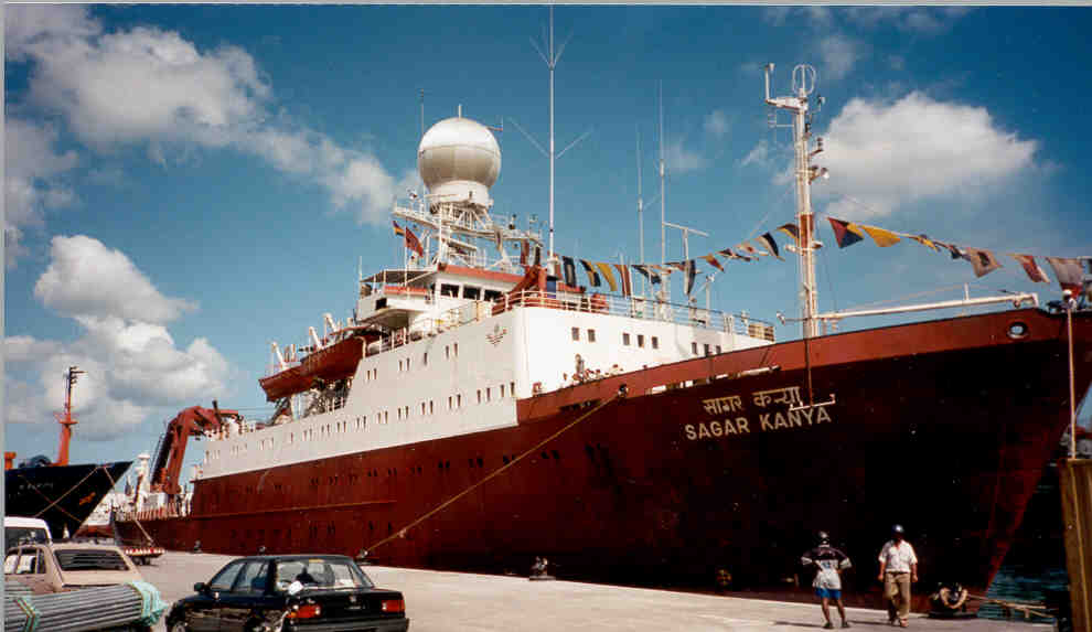
The SABL lidar on board the Indian research vessel Sagar Kanya. The voyage started in the Maldives, then to
Mauritius, and on to port Marmagoa, India. Part of the project had SABL locating high altitude aerosals in the
equatorial region. Sixty onboard scientists were involved in many atmospheric and oceanographic experiments.
Mauritius, and on to port Marmagoa, India. Part of the project had SABL locating high altitude aerosals in the
equatorial region. Sixty onboard scientists were involved in many atmospheric and oceanographic experiments.
(Click image for full resolution)
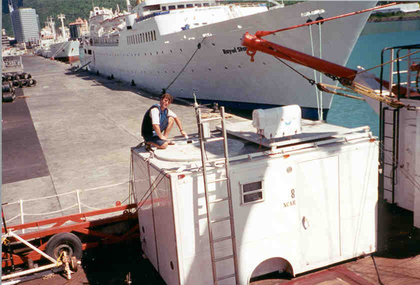
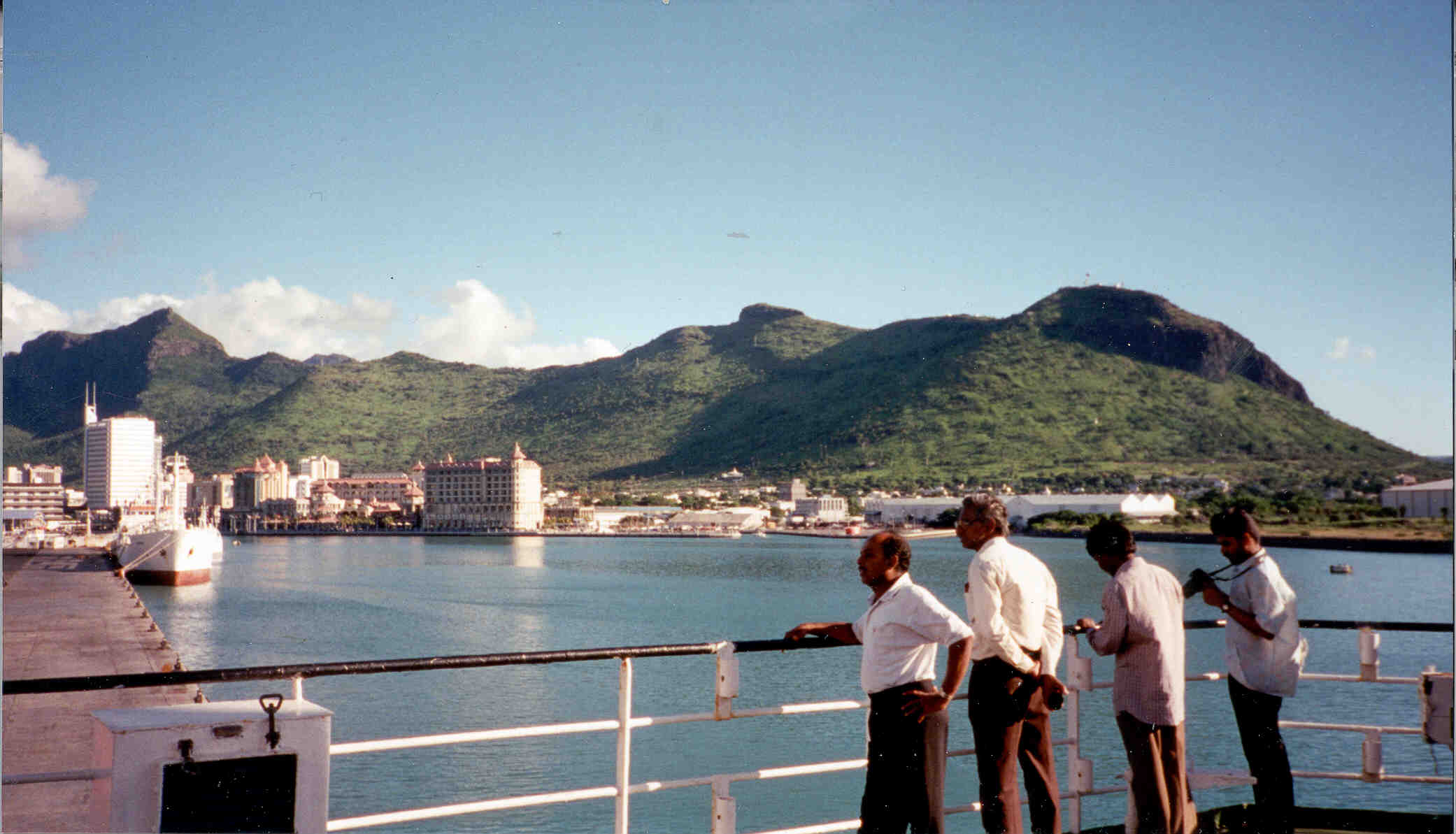
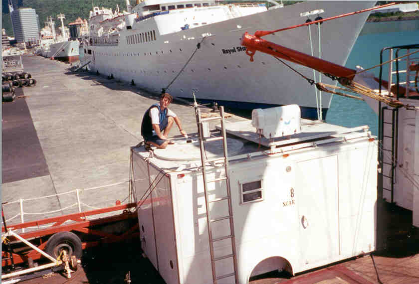
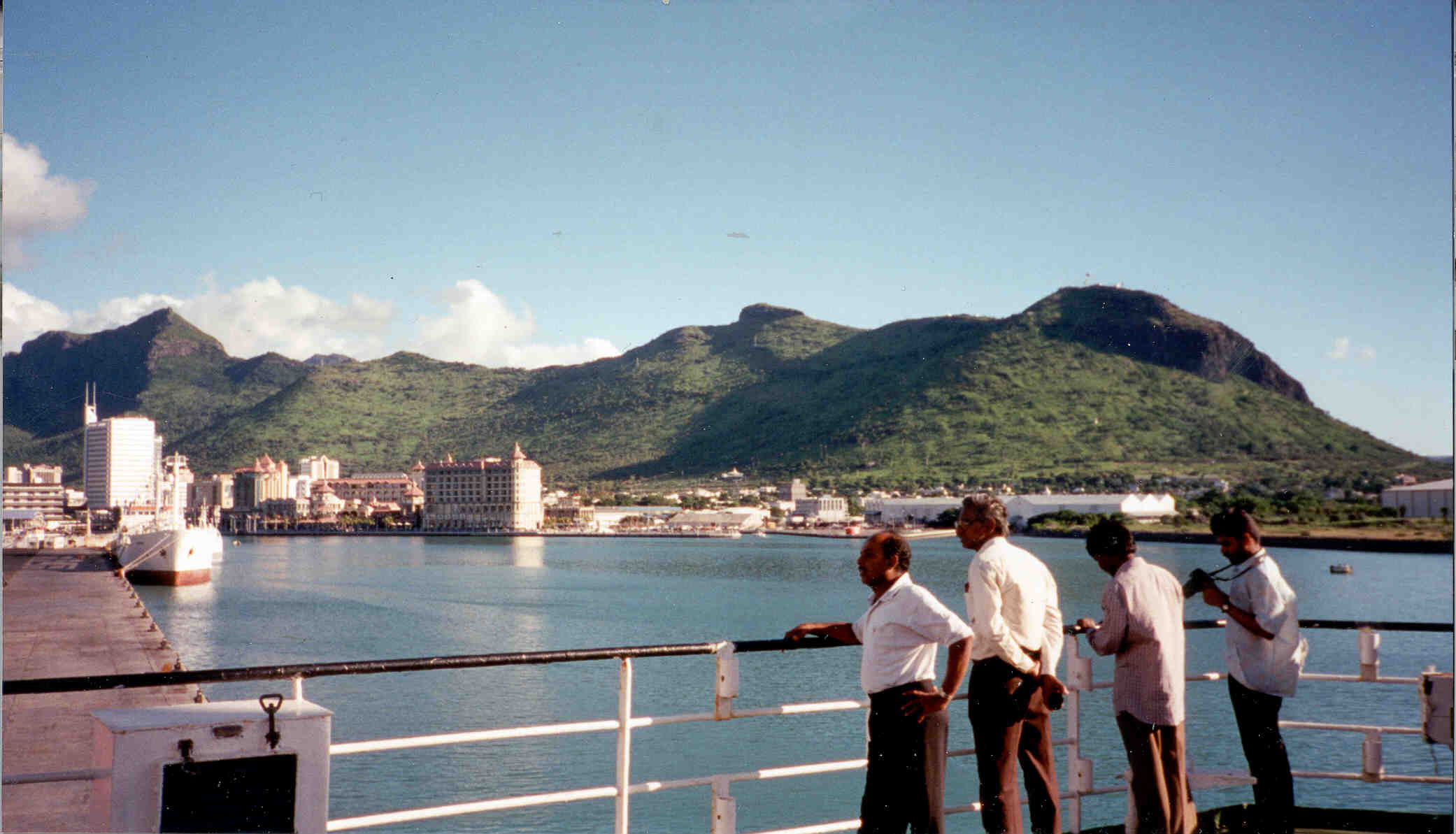
The SABL trailer was on the aft deck of the Sagar Kanya. Pictured here docked in Pt. Louis, Mauritius.
(Click image for full resolution)
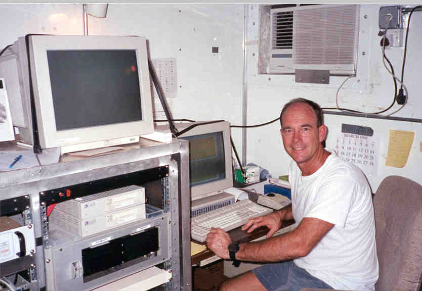
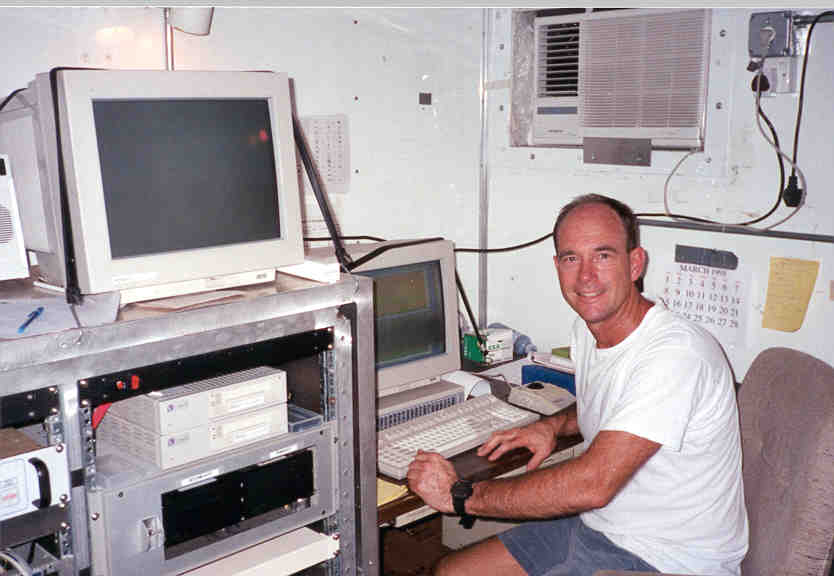
The SABL trailer operations center.
(Click image for full resolution)
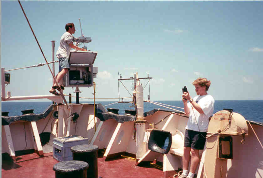
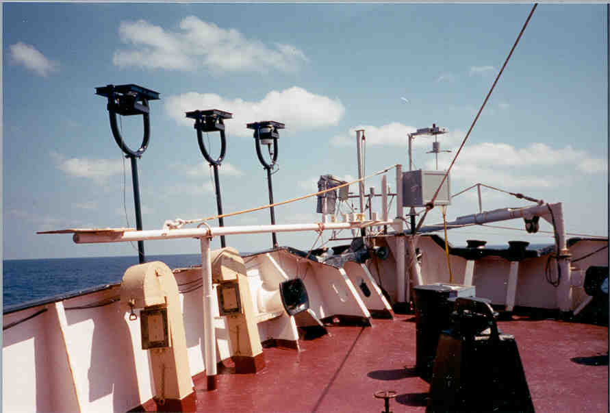
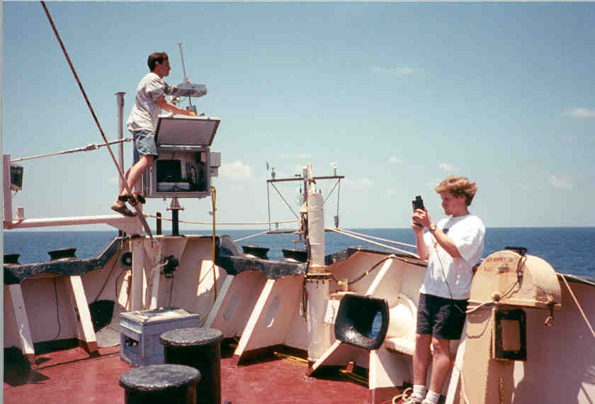
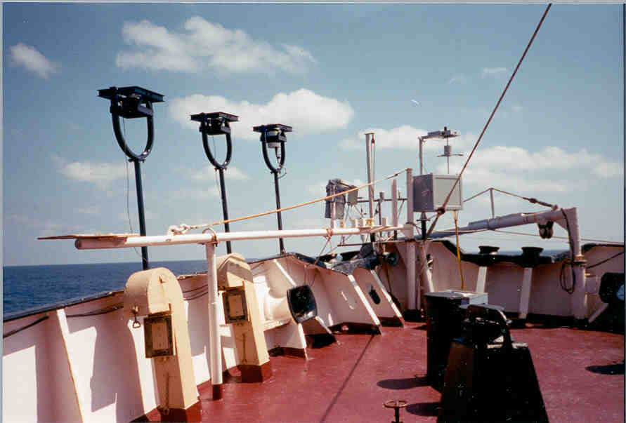
During daylight hours the solar flux measurements were taken. It was important the instruments had "clean" and undisturbed air so they were positioned at the ships bow.
(Click image for full resolution)
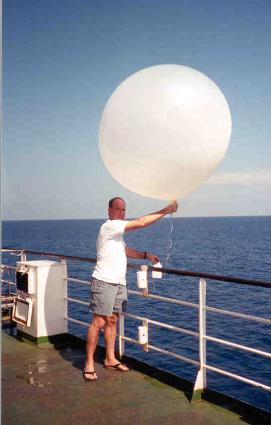
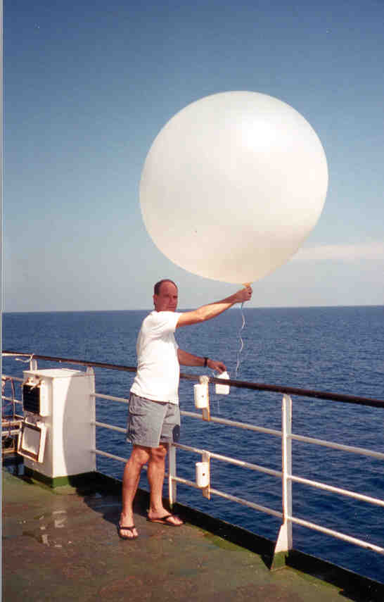
I launched a sonde twice a day. Many groups were launching daily, during daylight there was always a sonde in the air.
(Click image for full resolution)
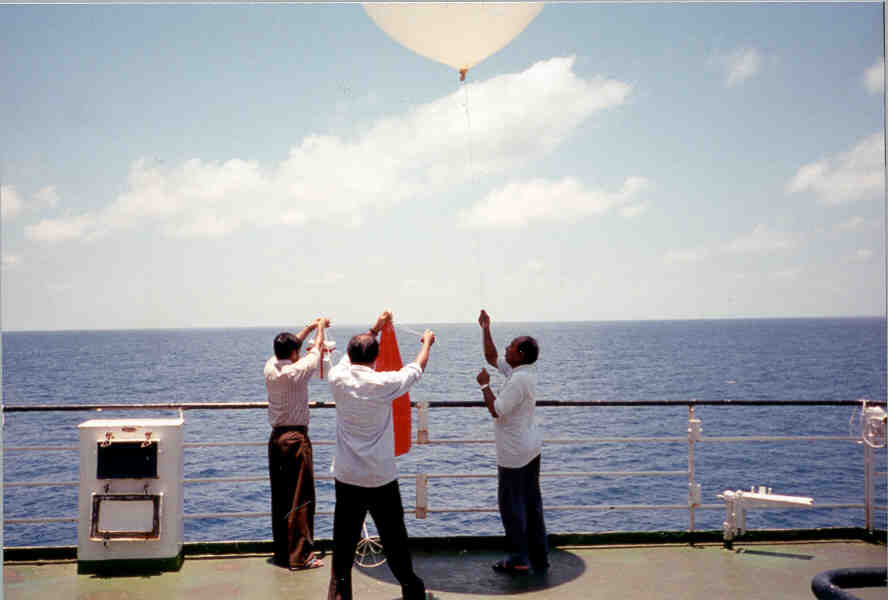
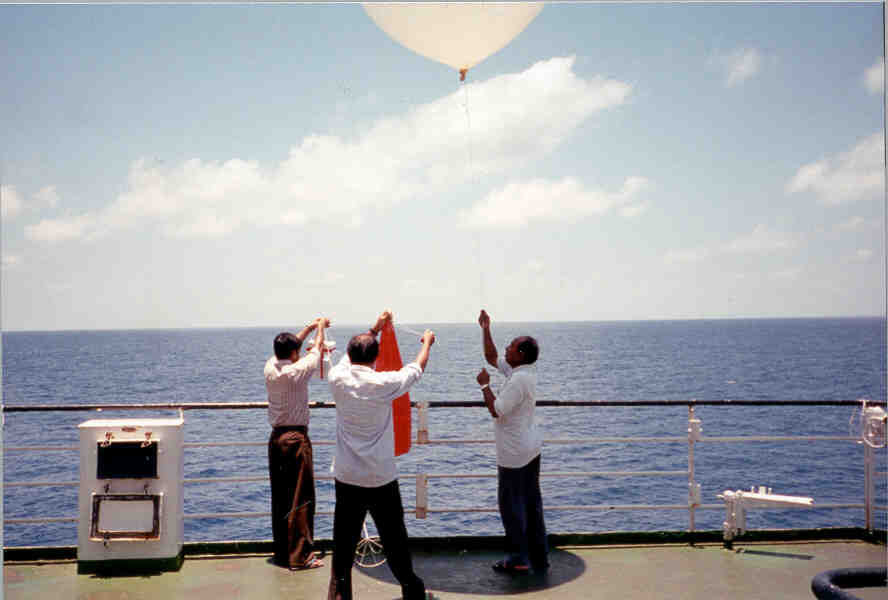
The high altitude ozone sonde was heavy and required a large balloon. It also used a parachute, the red object, so it could continue to send data, after the balloon burst, during its decent.
(Click image for full resolution)
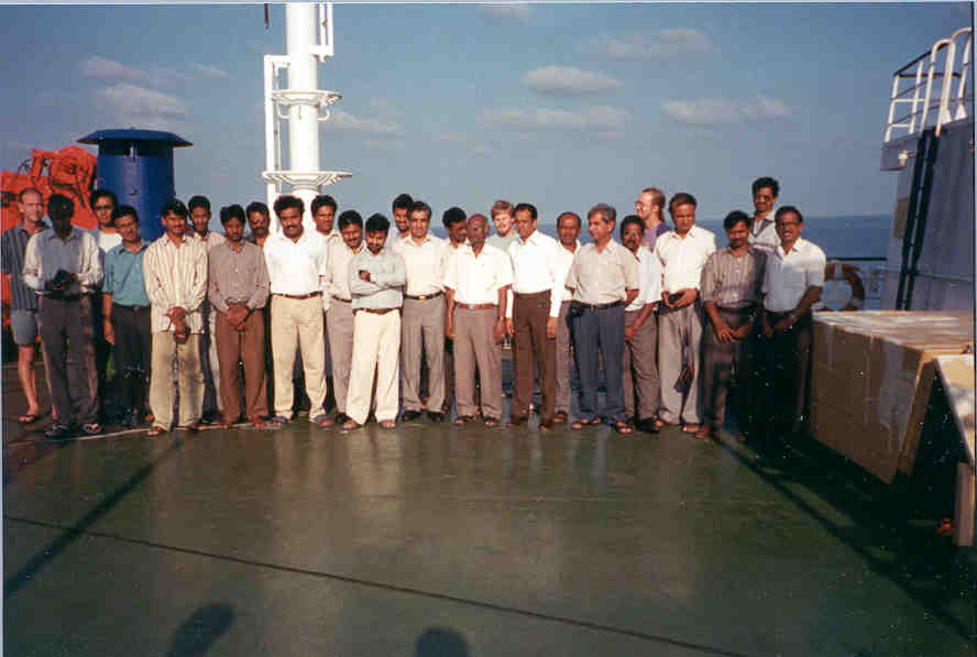
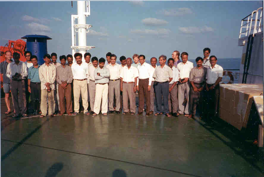
Some of the scientific staff, a mix of atmospheric and oceanographic interests.
(Click image for full resolution)
Data Access
Related Links
