28 February 2018
Ahead of an approaching trough, two light rain events affected Tippecanoe County, Indiana (in which Purdue is located). A thin cloud deck with virga was exiting the county to the southeast. Since no observations pertinent to the three working hypotheses were anticipated, IOP 0 was treated primarily a training deployment designed to familiarize the students with the DOW theory of operation.
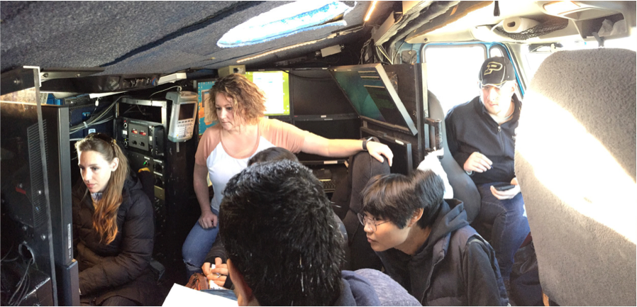
The CSWR staff walked the students through the startup-to-shutdown procedure for DOW7 (Fig. 5), tasking students with choosing scanning strategies, logging the deployment, and performing a sun scan for subsequent azimuth correction. Light precipitation (virga) was detected at high elevations (not shown), and students observed echoes from ground clutter targets, such as buildings, transmission towers, and wind turbines (Fig. 3) close to the radar.