EMEX
Equatorial Mesoscale EXperiment
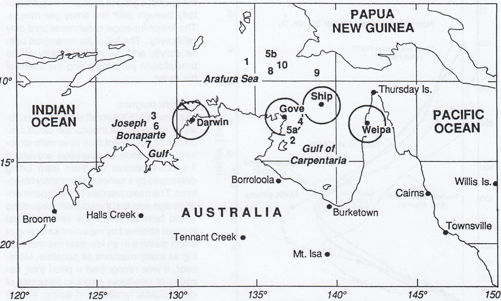
The Equatorial Mesoscale Experiment (EMEX) was designed to test one main hypothesis, namely that the net diabatic heating associated with the near equatorial convective cloud systems is strongest in the upper troposphere. EMEX explored the vertical air motions and other kinematic properties of tropical mesoscale convective-cloud systems (“cloud clusters”) by direct aircraft penetration. EMEX was conducted over the tropical oceanic area north of Australia in January-February 1987, during the Southern Hemisphere (austral) summer, and was organized to coincide with two other major experimental programs being conducted in the region at the same time. The Australian Monsoon Experiment (AMEX) was a program of enhanced upper-air soundings and radar data collection in northern Australia, aimed at better documentation of those large-scale weather patterns over Australia that are associated with the ebb and flow of the Australian monsoon. AMEX provided an excellent synoptic context for the convective and mesoscale measurements obtained in EMEX. The Stratosphere-Troposphere Exchange Program (STEP) was conducted to obtain high-level aircraft measurements of trace chemicals, radiation, and other quantities above tropical convection in the region with the aim of understanding tropospheric-stratospheric interaction. These data added to those collected with the lower flying EMEX aircraft. Operation Centers for all 3 programs were located at the Australian Bureau of Meteorology Forecast Office in Darwin. The Royal Australian Air Force Base at Darwin was the primary base for EMEX and STEP aircraft, while a secondary base was located at Gove. The combination of these three independent but interlocking programs constituted a comprehensive tropical field program covering a wide range of interacting scales of phenomena under the “parent” program, the Tropical Ocean Global Atmosphere Program (TOGA).
FACILITIES
Three aircrafts and one ship were used as EMEX data platforms. The aircrafts were a National Oceanic and Atmospheric Administration (NOAA) P-3, the National Center for Atmospheric Research (NCAR) Electra, and the Commonwealth Scientific and Industrial Research Organization (CSIRO) F-27. The ship was a research vessel from the People’s Republic of China (PRC). Two digital recording radars were aboard the P-3: a C-band (5-cm) lower fuselage radar for horizontal depiction of precipitation, and a Doppler X-band (3-cm) tail radar, which scanned in a vertical plane perpendicular to the aircraft track. Aboard the Chinese ship was a NOAA-74 C-band radar (aka TOGA radar) to which Doppler capability had been added. In addition, Omega dropwinsondes were released from the P-3.
OBSERVATIONS
| Aircraft | NCAR Electra, NOAA P-3, CSIRO F-27 |
| Aircraft | STEP aircraft NASA ER-2 |
| Radar | Chinese Ship Radar (NOAA-74 Doppler) |
| Radar | NOAA P-3 aircraft (nose and belly) |
| Radar | AMEX land-based radars |
| Satellite | Japanese Geostationary Meteorological Satellite (GMS) |
| Ship | PRC Research Vessel Xiang Yang Hong No. 5 |
| Upper Air | Omega dropwindsondes (P-3) |
| Upper Air | AMEX Special soundings |
NETWORK MAP
 |
PROJECT OPERATIONS
During EMEX, there were 10 research aircraft missions and 1 intercomparison calibration mission. The P-3 participated in all missions; the Electra in all but the last mission; and the F-27 participated whenever it had been stationed within range of the chosen target. Since EMEX was a focused hypothesis experiment, variations on only one basic flight plan were executed. This flight plan was designed to determine the radiation budget in the widespread stratiform cloud and the vertical motion profiles in the convective and stratiform clouds.
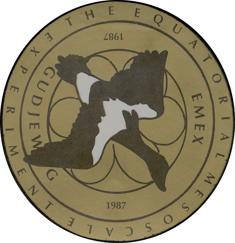 |
About the LogoThe bird featured is a magpie goose, which is prevalent in the wetlands of northern Australia and represents the airborne nature of the experiment. The outline seen beneath the Magpie is Sturt's Desert Rose, the floral emblem off the Northern Territory. The text beneath the Magpie's wing reads "Gudjewg", the aboriginal word for "monsoon". |
Principal Investigators:
- Donald Thornton
- Jack G. Kay
- William Frank
- Edward J. Zipser
- Gary Barnes
- John Lind
Data Manager:
- EOL Archive NCAR/EOL/DMS