CCOPE
Cooperative Convective Precipitation Experiment
The Bureau of Reclamation (BuREC) and the National Center for Atmospheric Research (NCAR) collaborated in a joint field program called the Cooperative Convective Precipitation Experiment (CCOPE) that was conducted near Miles City, Montana (22 May - 7 August 1981). CCOPE was a coordinated measurement program on convective clouds and storms carried out to elucidate how the microphysical processes and the air motions interact in the formation and development of precipitation.
|
|
|
|
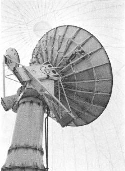
NCAR's revamped CP-2 Doppler radar was the anchor for the CCOPE experiment. Photo courtesy Robert Bumpas.
|
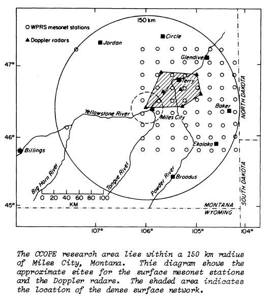
The CCOPE research area around Miles City, Montana
|
Science Objectives
The goal was to answer some of the fundamental problems that stand in the way of evaluating the potential of weather modification techniques and of predicting precipitation and severe weather. The primary emphasis was on interactions occurring within the storms and between the storms and their immediate environment in the 100 km scale. The approach was coordinated multiple aircraft measurements in combination with conventional and Doppler radar observations.
The specific scientific objectives included the study of:
 |
|
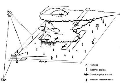
Schematic of the CCOPE field experiment showing the approximate locations of radar installations and weather stations and teh flight patterns of some of the aircraft.
|
- hydrometer evolution
- precipitation efficiency
- the origins of ice
- entrainment
- storm structure and environment
- storm initiation
- atmospheric nucleation
- atmospheric chemistry
- storm electrification
Facilities
| AIRCRAFT | |
|---|---|
| NCAR | Queen Air (N304D), Queen Air (N306D), Sabreliner (N307D) |
| NOAA | Sailplane (N9929J), Cessna 180 (N52032) |
| University of Wyoming | Super King Air 200 (N2UW), Queen Air (N10UW) |
| SDSM&T | T-28 (N510MH) |
| NRC of Canada | Twin Otter (CF-POK-X) |
| University of Nevada | Aero Commander (N37BW) |
| NASA | WB-57F (NASA 926), Convair 990 (NASA 712) |
| University of North Dakota | Cessna Citation II (N77ND) |
| Miles City Aeroservice | Cessna 182 (N50TH) |
| RADARS | |
| NCAR | CP-2 (S and X band), CP-3, (C-band), CP-4 (C-band) |
| Illinois State Water Survey | CHILL (S-band Doppler and X-band non Doppler) |
| NOAA | X-band (Doppler), X-band (Doppler), K-band (Doppler) |
| BuREC/WPRS | Skywater Radar-75 at Miles City (C-band, non-Doppler) |
| University of North Dakota | Miles City surveillance radar (C-band non-Doppler) |
| UPPER AIR STATIONS | |
| Texas A&M University | GMD Rawinsondes (5) |
| Alberta Hail Project | RD-65 Rawinsonde (1), Airsonde (1) |
| SURFACE STATIONS | |
| NCAR | PAM - Portable Automated Mesonet stations (27) |
| BuREC/WPRS | PROBE - Portable Automated Observations of the Environment stations (98) |
|
|
|
|
|
|
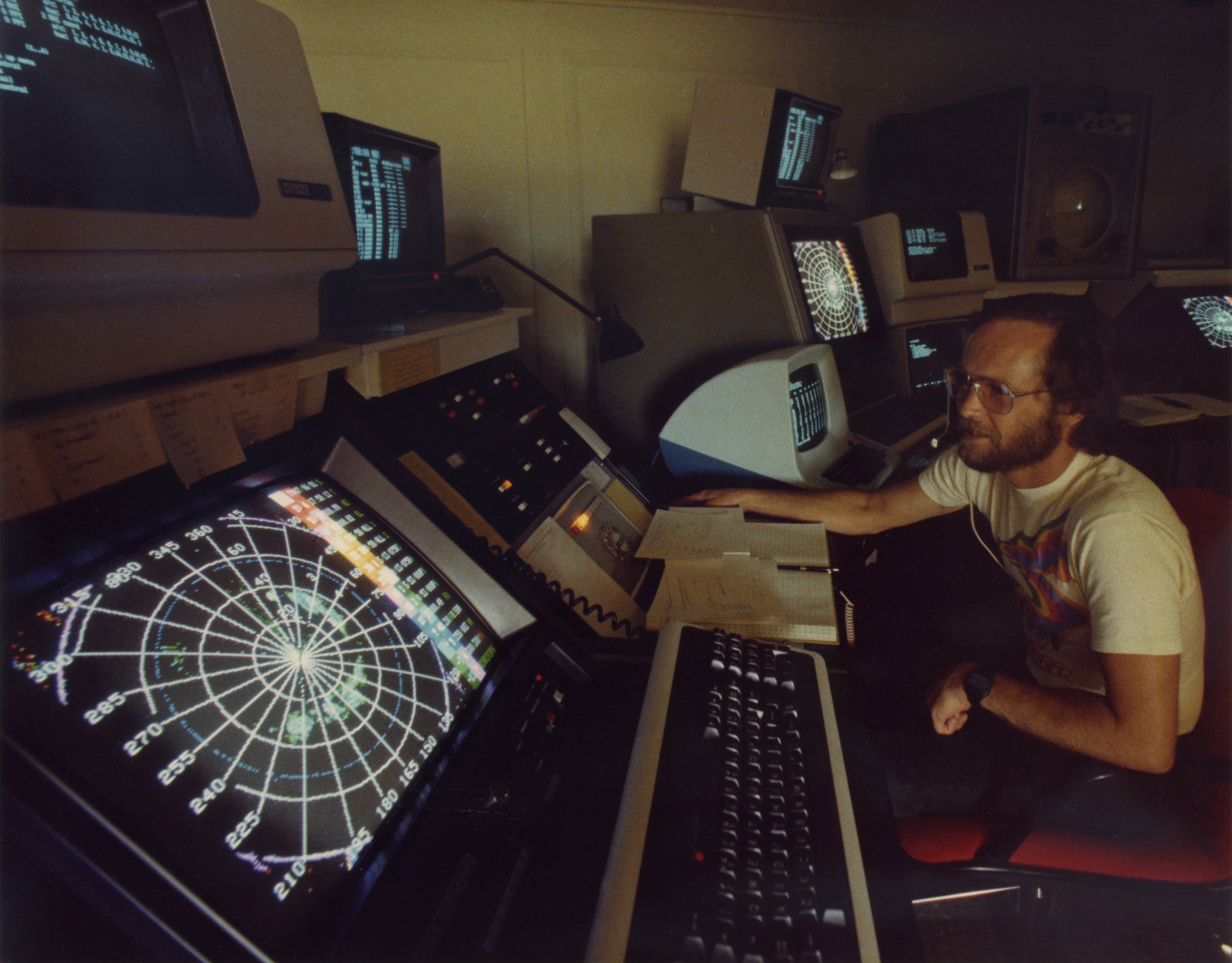
Harold Frank (CSD) at the operations center radar display terminal. Photo courtesy Robert Bumpas.
|
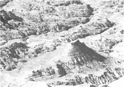
The CCOPE experimental area included rills and arroyos, mesas and ravines as well as wheat fields. This made the logistics of creating a functioning field site more difficult. Photo courtesy Robert Bumpas.
|
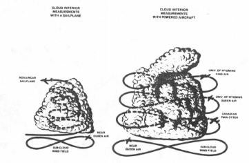
Schematic of some CCOPE flight patterns
|
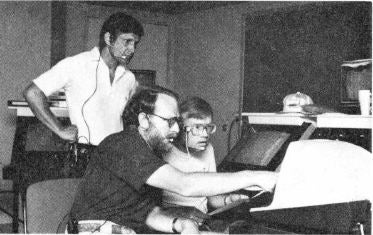
(Left to right) Cleon Biter, Brant Foote, and Chuck Wade (all of CSD) view the PAM display in the operations center. Photo courtesy Robert Bumpas.
|
All photos copyright University Corporation for Atmospheric Research unless otherwise noted.