P3 Flight Log:
This was a great day. I was a bit concerned since our time slot for CI had been restricted owing to the evening LLJ mission. Accordingly, our takeoff was set for 1:00 CDT and we were required to be back by 7:00 pm so that both CI and LLJ missions could be accomplished in a single day. Another problem, which I was not informed until I was in the air, was that we only had enough sondes for one leg. Even though our allocation was for a total of 2 dropsonde legs, we received the wrong sondes from the company. The forecast called for a cold front to dip down into northwest Kansas in a northeast-southwest orientation. A triple point with the dryline was forecast to move into the Tribune, Kansas area. Convection was to develop along the cold front but was unlikely to form along the triple point owing to the cap. After our usual conference call with all of the ground armada, an IP of Colby, Kansas was chosen. We also heard the unfortunate news from Conrad Ziegler that the SMART-R radar was down for the remainder of the project. The truck had sustained structural damage the day before. We also had several logistical problems. We were in the far northwest corner of Kansas but could not cross the Colorado or Nebraska border with LEANDRE on. In addition, the Cheyenne MOA was hot with military flights as low as 300? to high altitude. The P-3 took off at 12:56 pm cdt. The King Air departed around 12:45 pm and the LearJet was slated for a much later takeoff because of the evening LLJ jet mission. We climbed to high altitude to cool off the instrumentation. Once we approached the Colby area, I made a decision that we would descend immediately and pray that we would not overheat before 6:00 pm. We crossed the front at approximately 39.48 x 101.2 degrees and decided to continue to the northwest just to survey the area. No other boundaries were encountered and the clear air was terrible so we reversed heading with the intent to setup our box pattern on the front. Once our pattern started, we basically continued to fly it until approximately 5:30 pm when deep convection prevented us from executing the pattern. The ground armada was always within our box but not exactly in the center. The Cheyenne MOA prevented the P-3 from flying further to the south. The boundary did not move much and at one time our box was centered at 39.48 and 101.2. The legs were roughly 70-80 km long. This was by far the best ELDORA data set collected to date. The fine line was well-sampled. When convection developed we were not hampered with second trip, and we continued to sample the fine line even after convection developed. The fine line became more intense and deeper with time. There were a couple of passes when I thought I identified what appeared to be fine line streamers being ingested into the weak echo region of the thunderstorm updraft. This was the first time that we could stay on the fine line for such a long time after initiation. The exact time to initiate the drops was a subject of intense discussion. We decided to release them at 4:00 pm which appeared to be well-timed as the first echo was identified on ELDORA at 4:10 pm. I wish we had a second series of drops! We also saw (twice!!) what appeared to be a very weak nonsupercell tornado. It was in the same spot as we made two passes. We pulled out at about 5:30 pm when ELDORA?s temperature had begun to climb to over 100 degrees. We landed at about 6:45 pm at Oklahoma City.
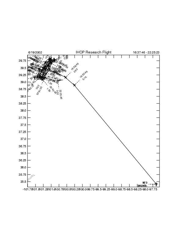
Flight Track:
ELDORA Images for this Flight:
(Hit submit to view images, and allow pop-up windows to view interactive flight track.)
