P3 Flight Log:
An ABL mission was conducted on 05/27/02 with the P3 and King Air. During the initial pre-flight briefing at 1300 UTC we discussed delaying the mission due to midlevel convection in the TX panhandle and an MCS moving east along the Red River that were contributing to a large area of cloudiness obscuring the ABL mapping area. The briefing reconvened at 1415 and with guidance from the SPC determined that the clouds were primarily a cirrus anvil that was moving away from the target area and that the mission could continue as planned. The King Air took off shortly after 1500, while the P3 was delayed a half hour due to some technical problems with Leandre and departed at 1620. Early in the flight we performed an ELDORA calibration leg (1636) and Lenschow maneuvers (1650) before arriving at the moisture mapping area. The P3 then performed some coordinated legs with the King Air before continuing on longer legs to the west. At 1800 ELDORA switched to convective mode due to the presence of towering cumulus throughout the region, and Leandre was down for 10 minutes for some tuning. The P3 then descended to 9500 ft. to get below the increasing cloud deck so that lidar operations could continue, and remained near that altitude for the remainder of the flight. The science objectives of this mission were well met. The boundary layer showed distinct heterogeneity over the area, with a collapse to almost 100 meters in the west and an increase to near 1 km in the east. A narrow southerly jet was also observed at flight level concurrent with an increase in mixing ratio. ELDORA observed several strong echoes as we passed near some of the developing convection.
P3 Crew:
NRL: Jace Dasenbrock, Frank Strazzula, Steve Wagner, Chris Holsinger
NCAR: Dave Parsons, Michael Bell, Aditi Kapoor, Mike Strong, Bill Irwin
CNRS: Jacques Pelon, Patricia Delville
UCLA: Hanne Murphey
Chinese Culture University: Ching-Hwang Liu
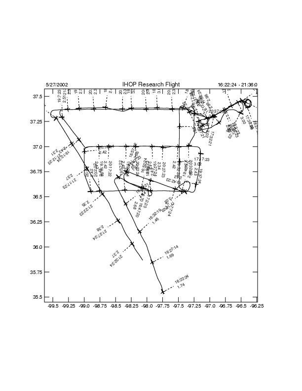
Flight Track:
ELDORA Images for this Flight:
(Hit submit to view images, and allow pop-up windows to view interactive flight track.)
