NIMROD
Northern Illinois Meteorological Research On Downburst Project
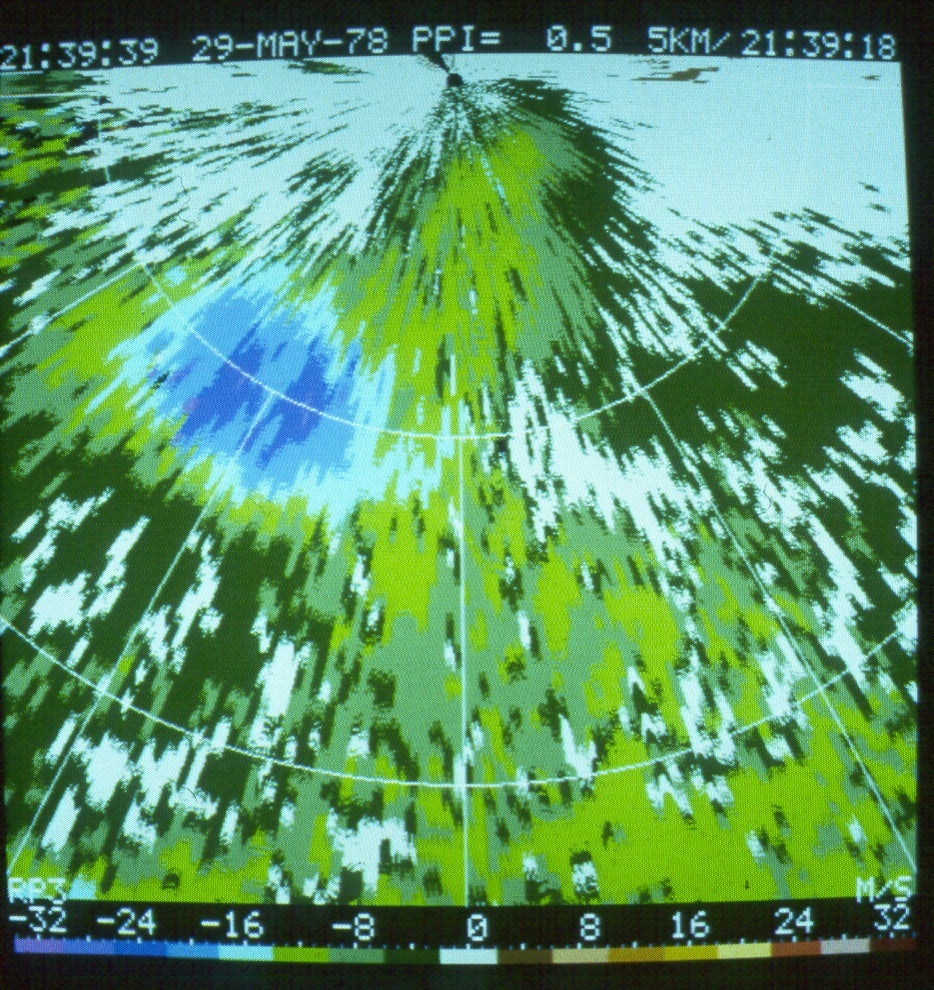
Straight-line winds, often preceded by a threatening-looking roll cloud, can induce widespread wind damage in and around thunderstorm areas. Damaging winds, usually lasting for a short period of time, are characterized by strong gusts which could seriously affect ground structures as well as low-flying aircraft. Recent research reported the Doppler radar signature of a severe local wind which was detected only with the lowest elevation scan. Further analysis of downbursts in relation to jet aircraft accidents confirmed the existence of highly localized divergent winds which endanger the operation of aircraft at low altitudes.
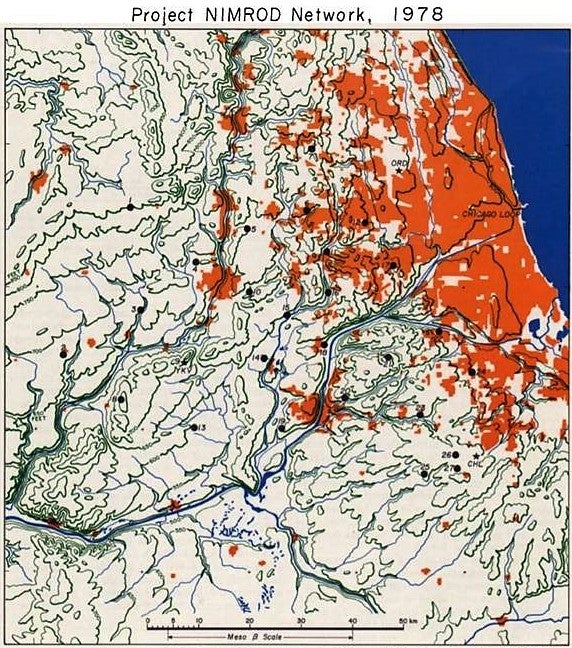
Project NIMROD (Northern Illinois Meteorological Research On Downburst) was conducted in the Greater Chicago, IL, area from 15 May through 30 June 1978. During the 45 days of operation, various types of data/analyses were collected to investigate: (1) downburst- and tornado-inducing bow echoes; (2) mesocyclone echoes with caved-in tops; (3) isolated downbursts and microbursts with up to 70 mph winds; and (4) gust fronts. The network was placed just to the west of Chicago where ample corn crops were grown annually and the late spring timeframe was chosen as it was the growing season for corn that can be used as high surface wind indicators.
 |
PROJECT OPERATIONS
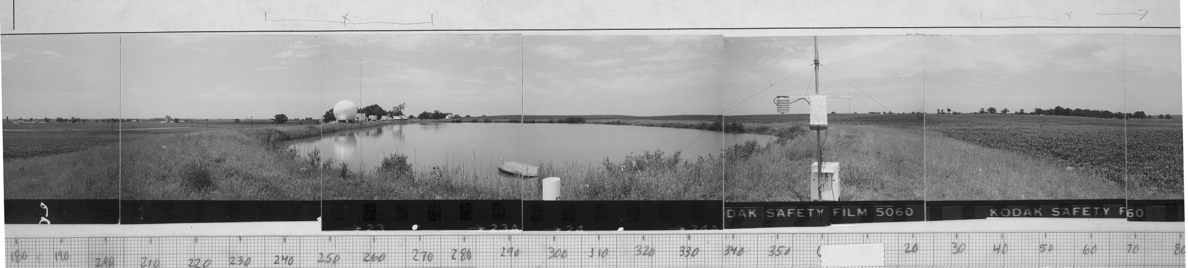
The NIMROD network included three (3) Doppler radars (with a triangle baseline spacing of approximately 60 km) and twenty seven (27) NCAR Portable Automated Mesonet (PAM) stations distributed in and around this triangle to the west of the City of Chicago (see Network Map). These radars included the NCAR CP-3 and CP-4 Doppler C-band radars as well as the CHILL Doppler S-band radar (that operated in a multi-elevation PPI mode, 24-h each day). The network location was chosen to include O’Hare International Airport because one of the major objectives was also to determine the low-level winds in and around major airports. Nominal height of the PAM wind sensors was 4m although some of the PAM stations were located in the suburbs while others were in open fields. PAM data was obtained at 1-min resolution.
Network operations were directed from the NCAR CP-3 radar site. About 200 rawinsondes were released at 30 to 60-min intervals from the CP-3 site on a requested basis. NWS field offices helped advise the NIMROD Project Office of significant downburst and/or tornadic events, and when possible, assisted in damage surveys.
 |
OBSERVATIONS/DATA
The NIMROD provided a comprehensive meso- and mesoscale database that was utilized to identify tornado-scale vortices along with detailed wind and damage analyses.
| Radar | NCAR CP-3 and CP-4 C-band Doppler radars deployed at Yorkville, IL, and O’Hare International Airport, respectively. |
|---|---|
| Radar | UI CHILL Doppler radar deployed near Monee, IL. |
| Surface | 27 NCAR Portable Automated Mesonet (PAM) stations |
| Upper Air | Rawinsondes released from the NCAR CP-3 radar site |
| Other | Wind and damage surveys |
 |
NETWORK MAP
 |
Data Manager:
- EOL Archive NCAR/EOL/DMS