Click on the thumbnail image to view the full-size image.
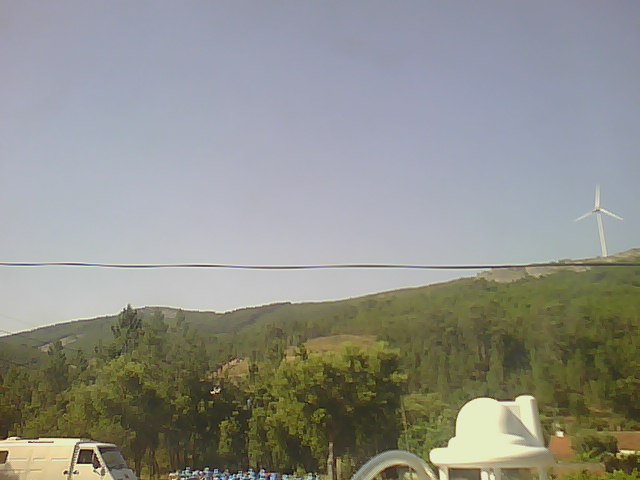
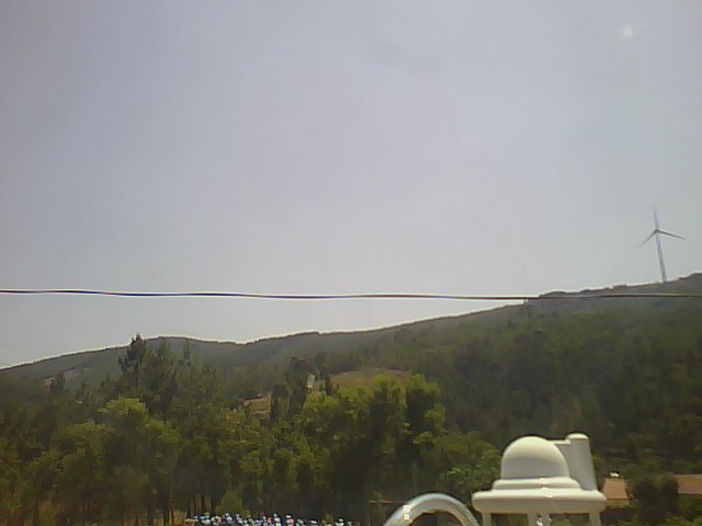
ISS2_Webcam.201706160500.photo
|
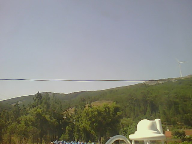
ISS2_Webcam.201706160600.photo
|
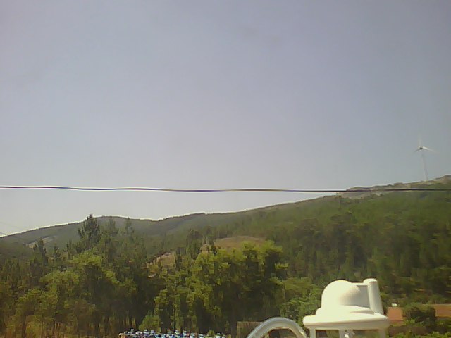
ISS2_Webcam.201706160700.photo
|
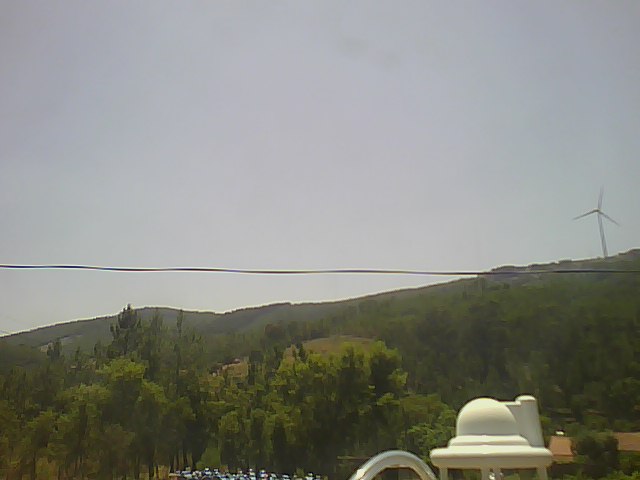
ISS2_Webcam.201706160800.photo
|
ISS2_Webcam.201706160900.photo
|
ISS2_Webcam.201706161000.photo
|
ISS2_Webcam.201706161100.photo
|
ISS2_Webcam.201706161200.photo
|
ISS2_Webcam.201706161300.photo
|
ISS2_Webcam.201706161400.photo
|
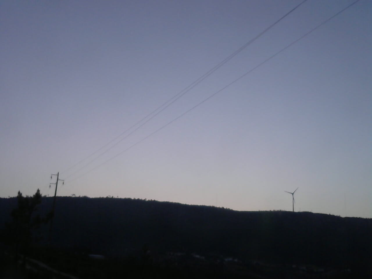
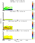
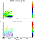
ISS3_Camera.201706160500.photo
|
ISS3_Camera.201706160600.photo
|
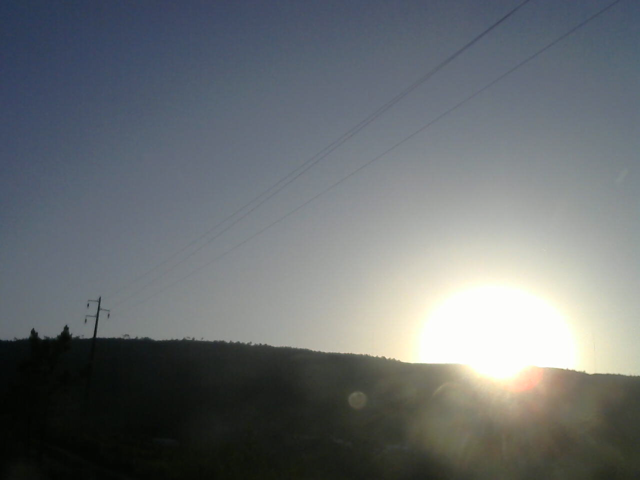
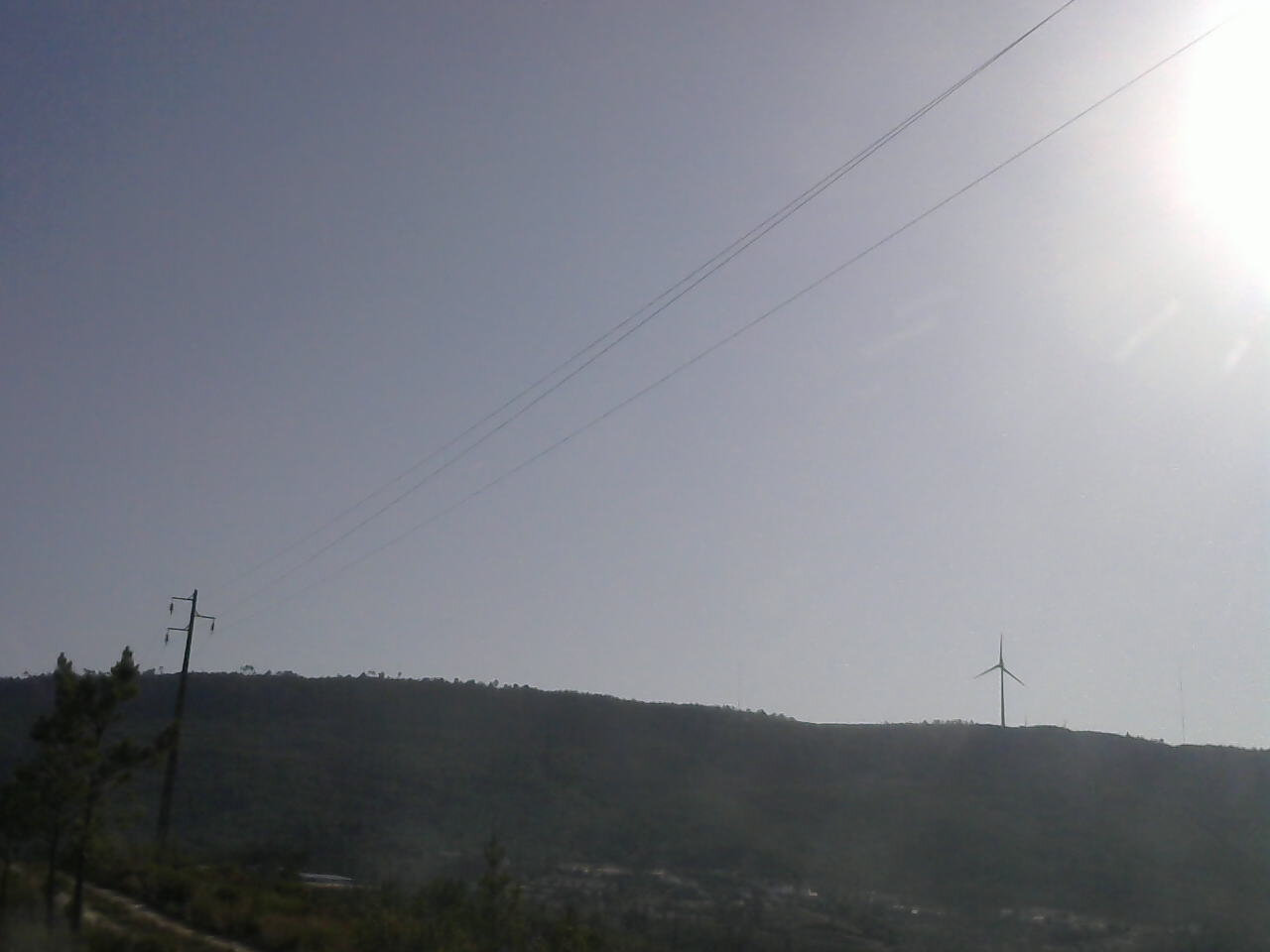
ISS3_Camera.201706160700.photo

|
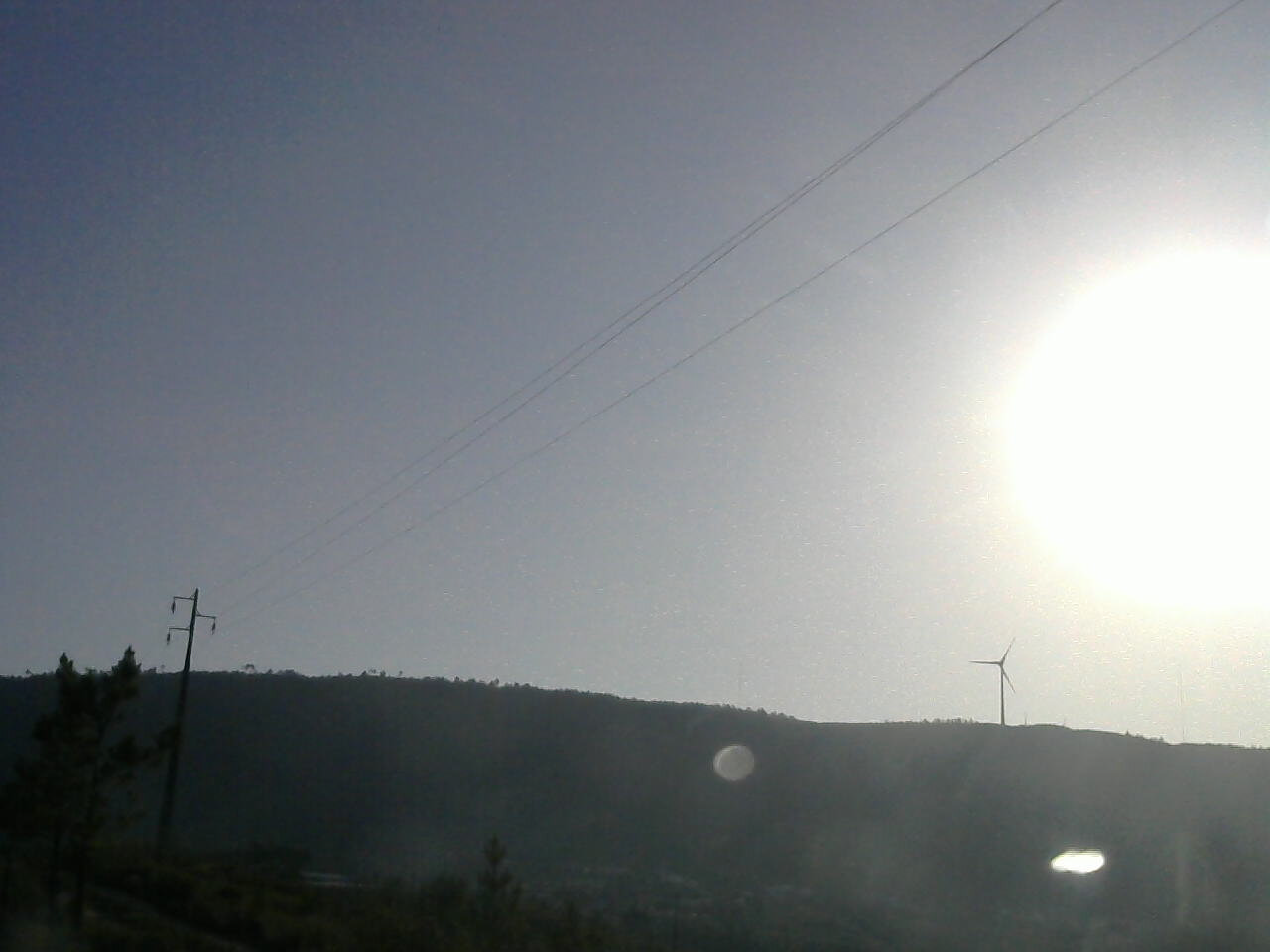
ISS3_Camera.201706160800.photo
|
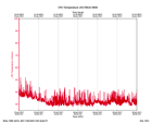
ISS3_Diagnostic.201706160600.Tc...
|
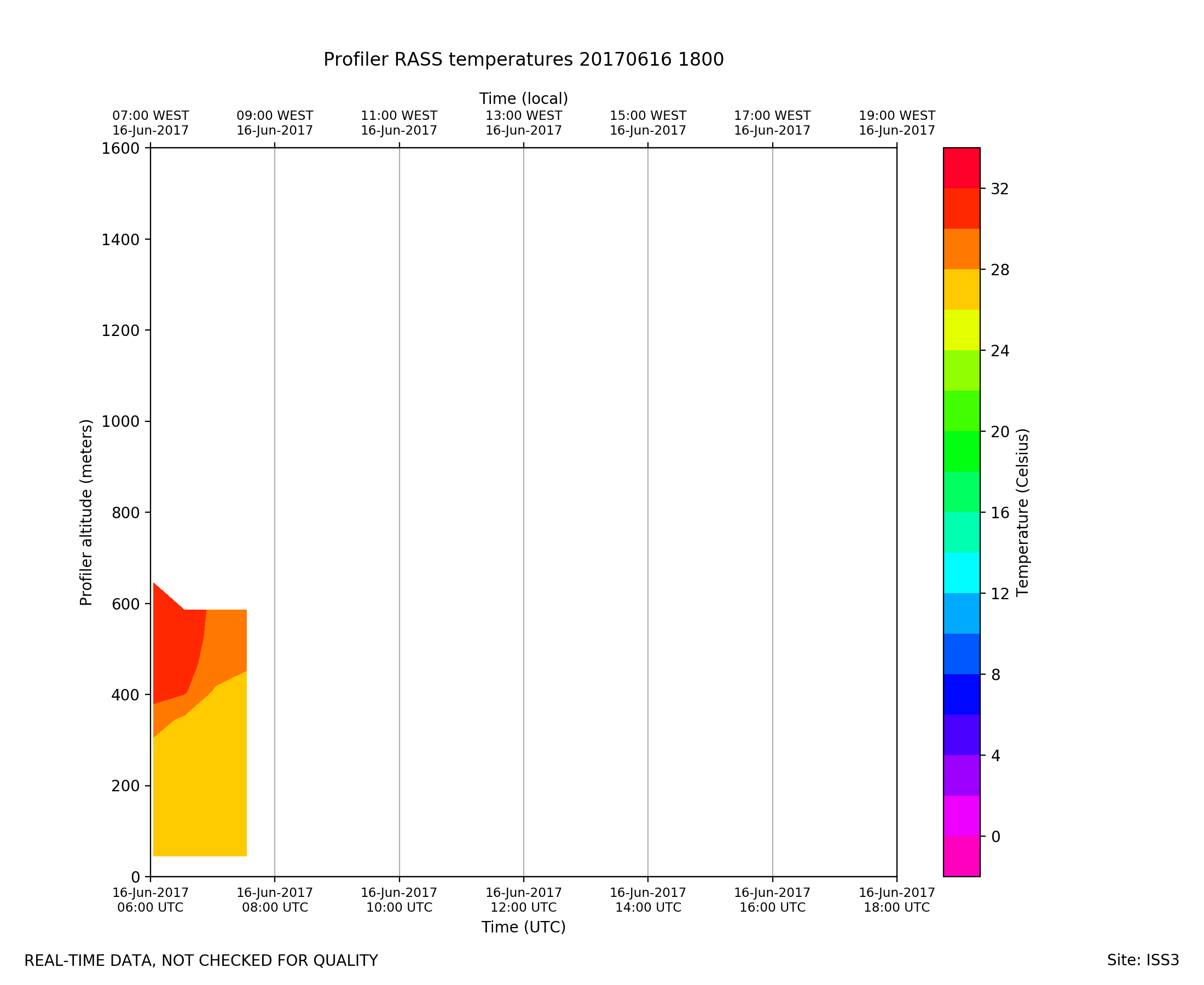
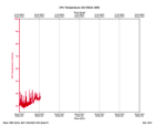
ISS3_Diagnostic.201706161800.Tc...
|
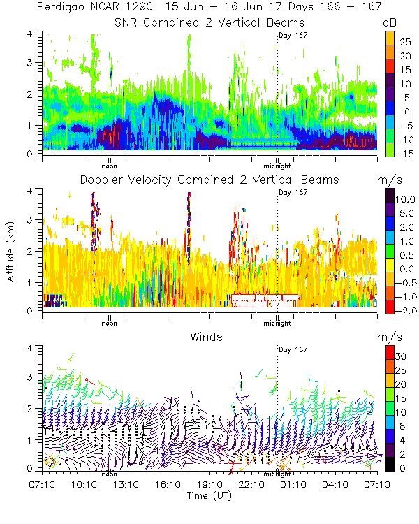
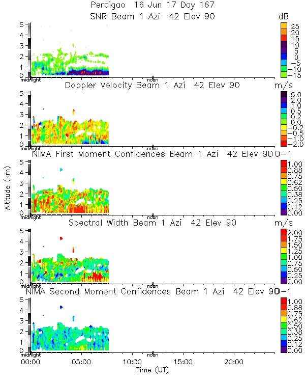
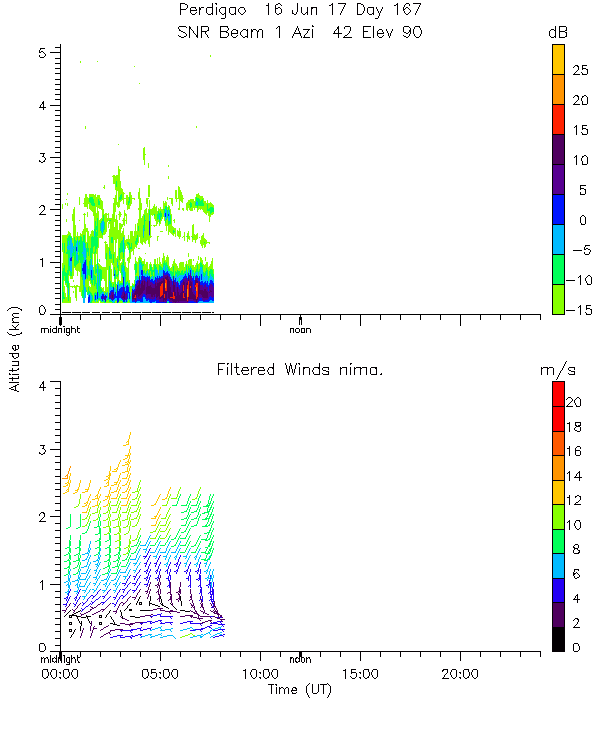
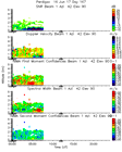
ISS3_Profiler.201706160000.mome...
|
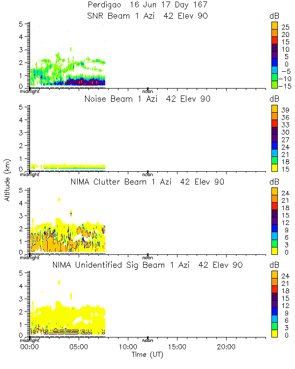
ISS3_Profiler.201706160000.nima...
|
ISS3_Profiler.201706160000.nima...
|
ISS3_Profiler.201706160000.nima...
|
ISS3_Profiler.201706160000.nima...
|
ISS3_Profiler.201706160000.snr_...
|
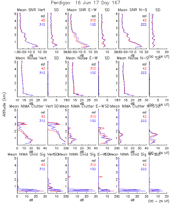
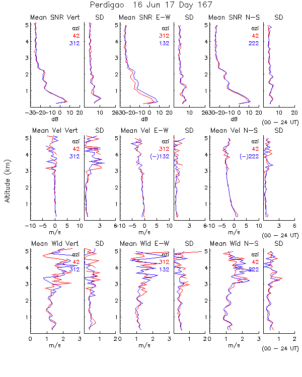
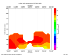
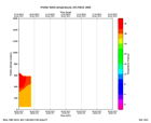
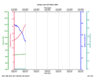
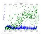
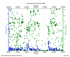
ISS3_Profiler.201706160600.rass
|
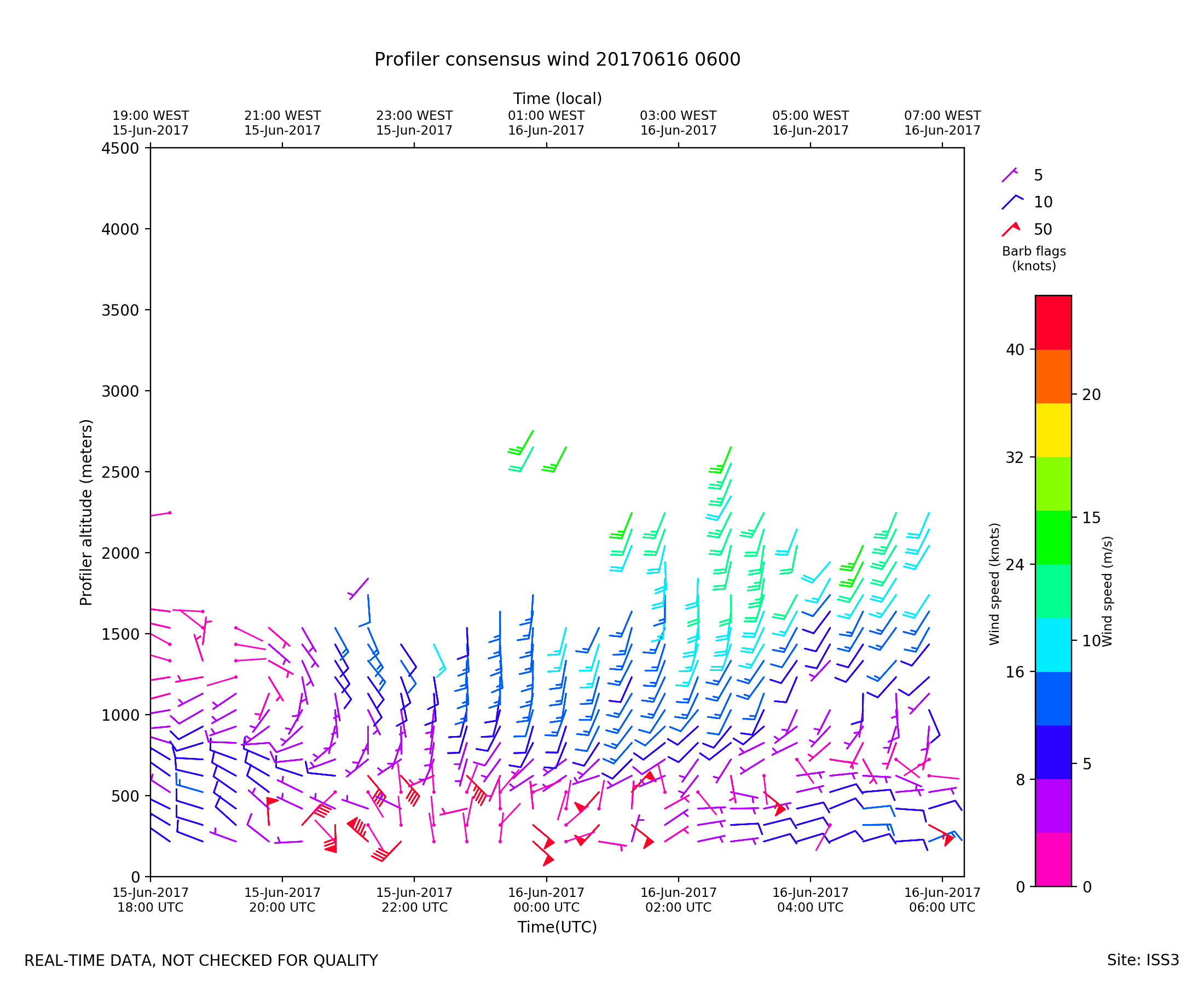
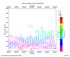
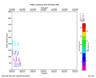
ISS3_Profiler.201706160600.wind...
|
ISS3_Profiler.201706161800.rass
|
ISS3_Profiler.201706161800.wind...
|
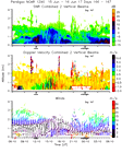
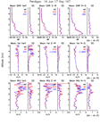
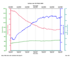
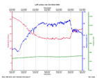
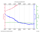
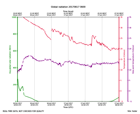
ISS3_Surface.201706160600.pth
|
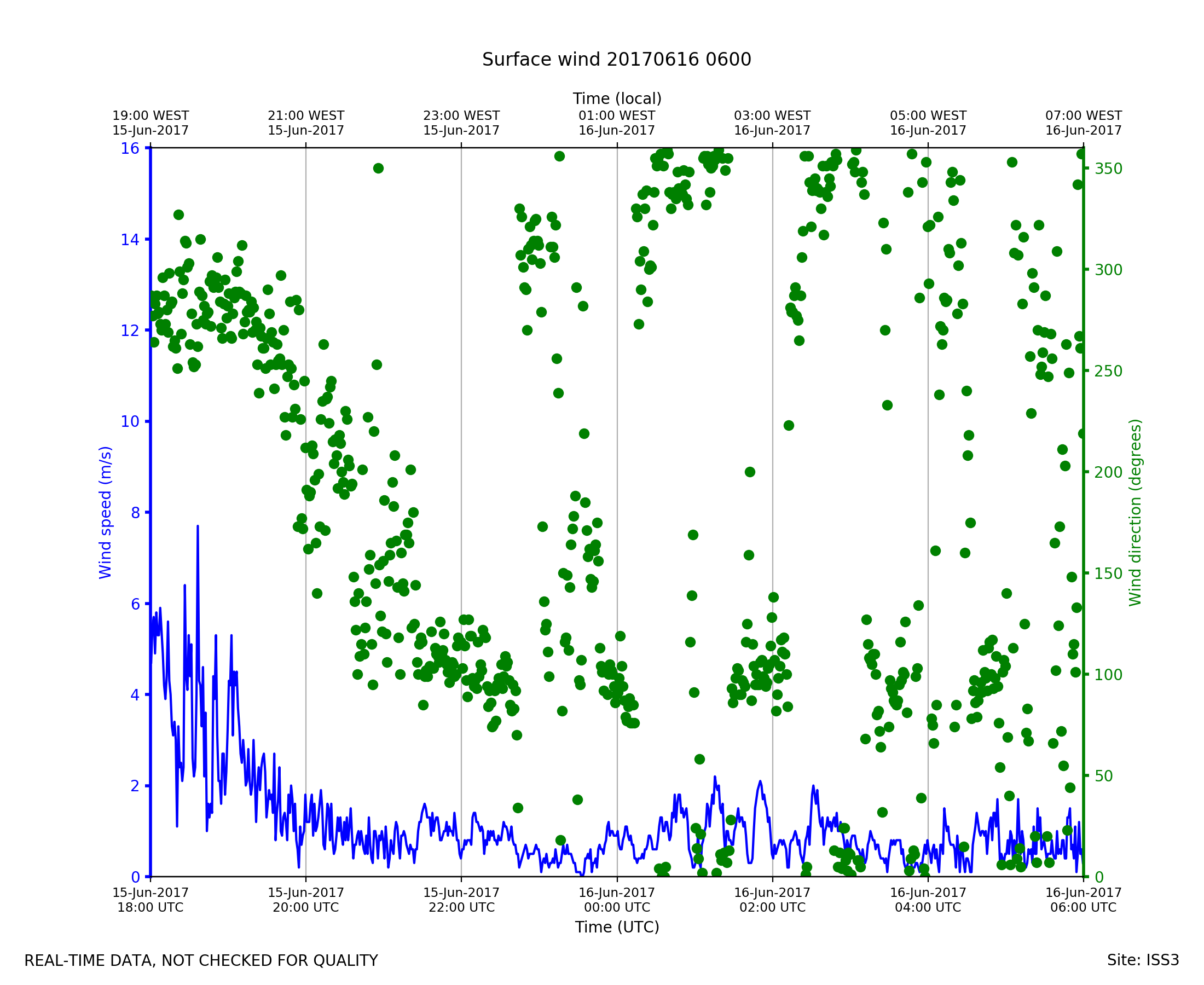
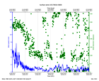
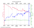
ISS3_Surface.201706160600.wind
|
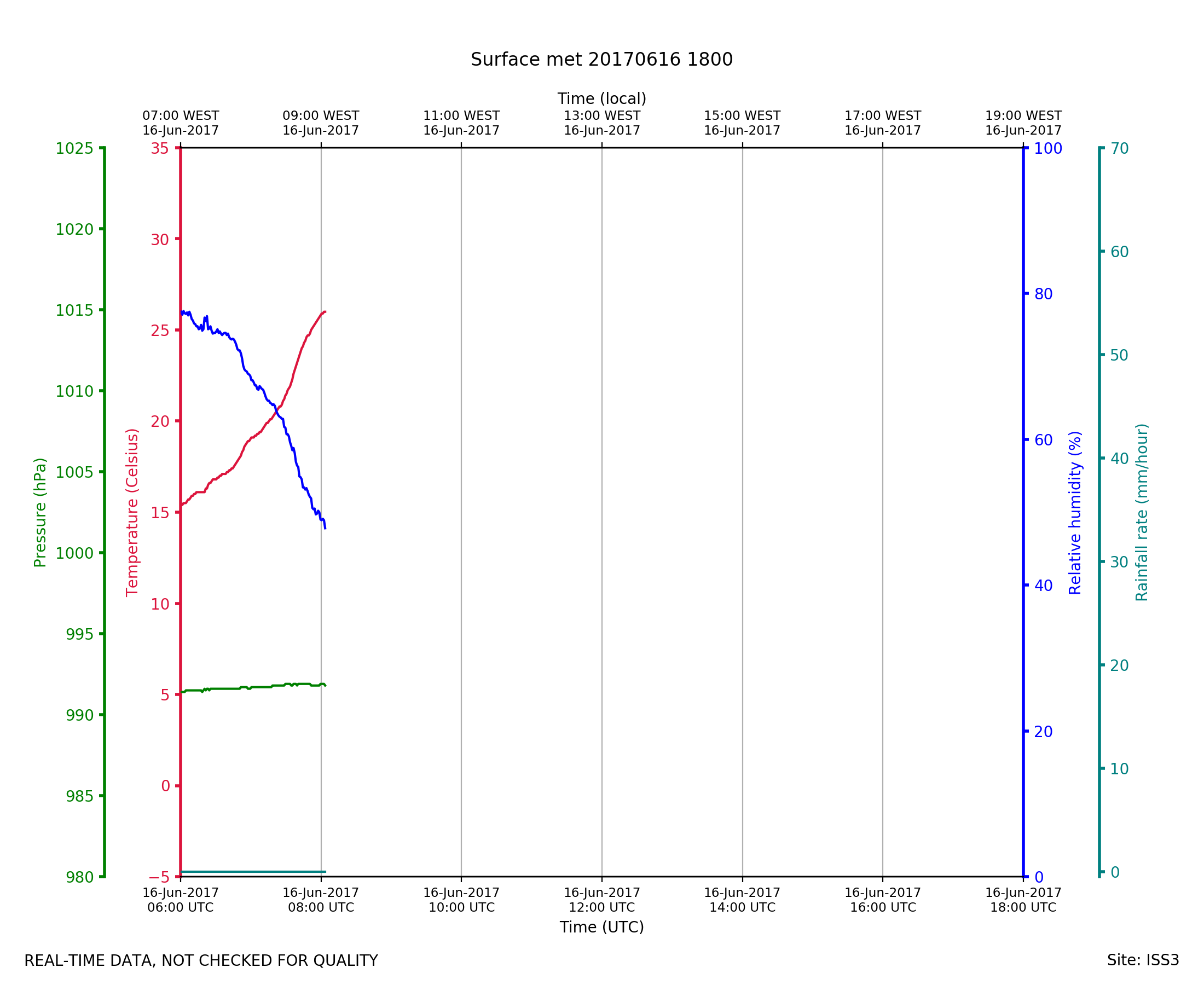
ISS3_Surface.201706161800.pth
|
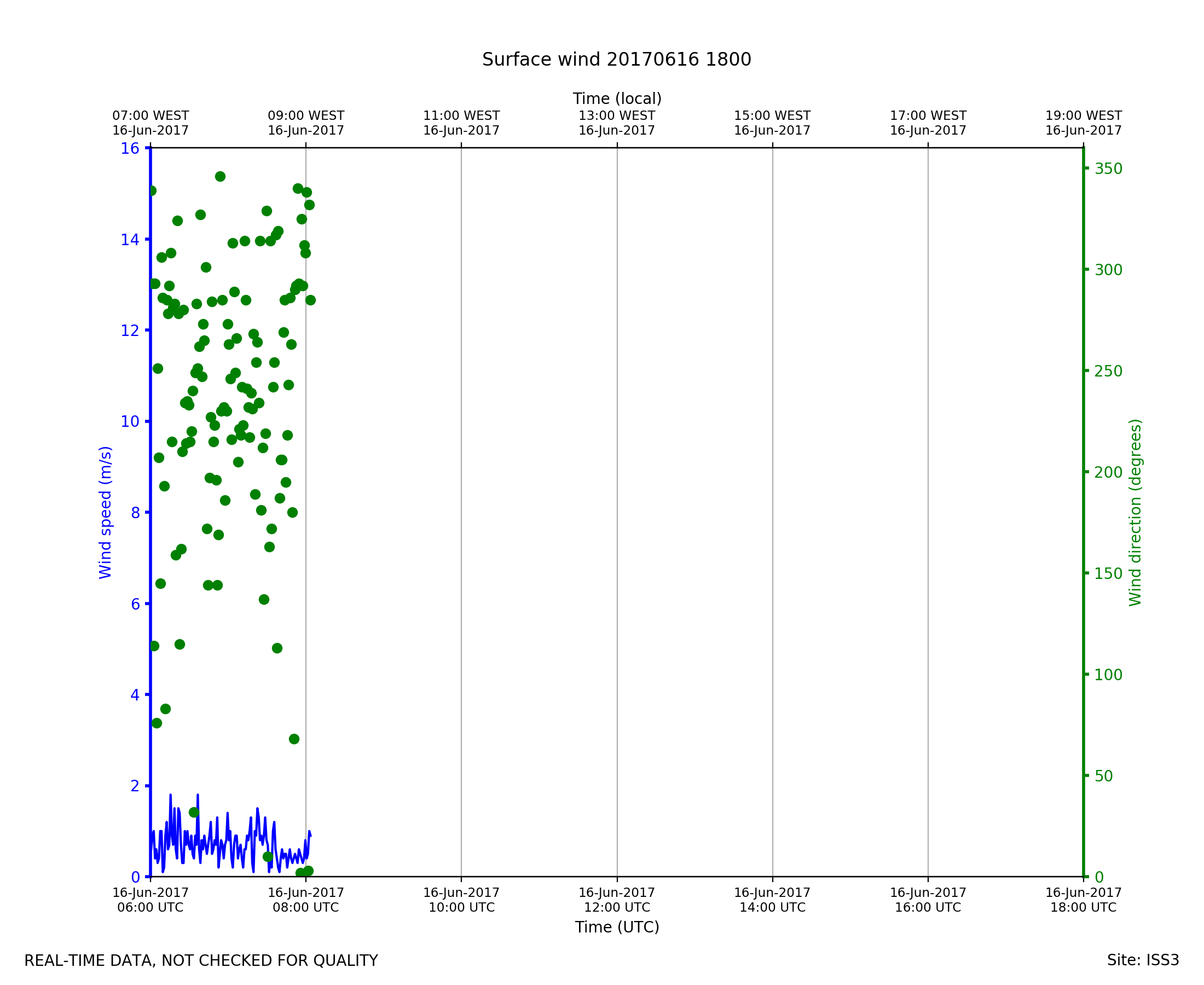
ISS3_Surface.201706161800.wind

|
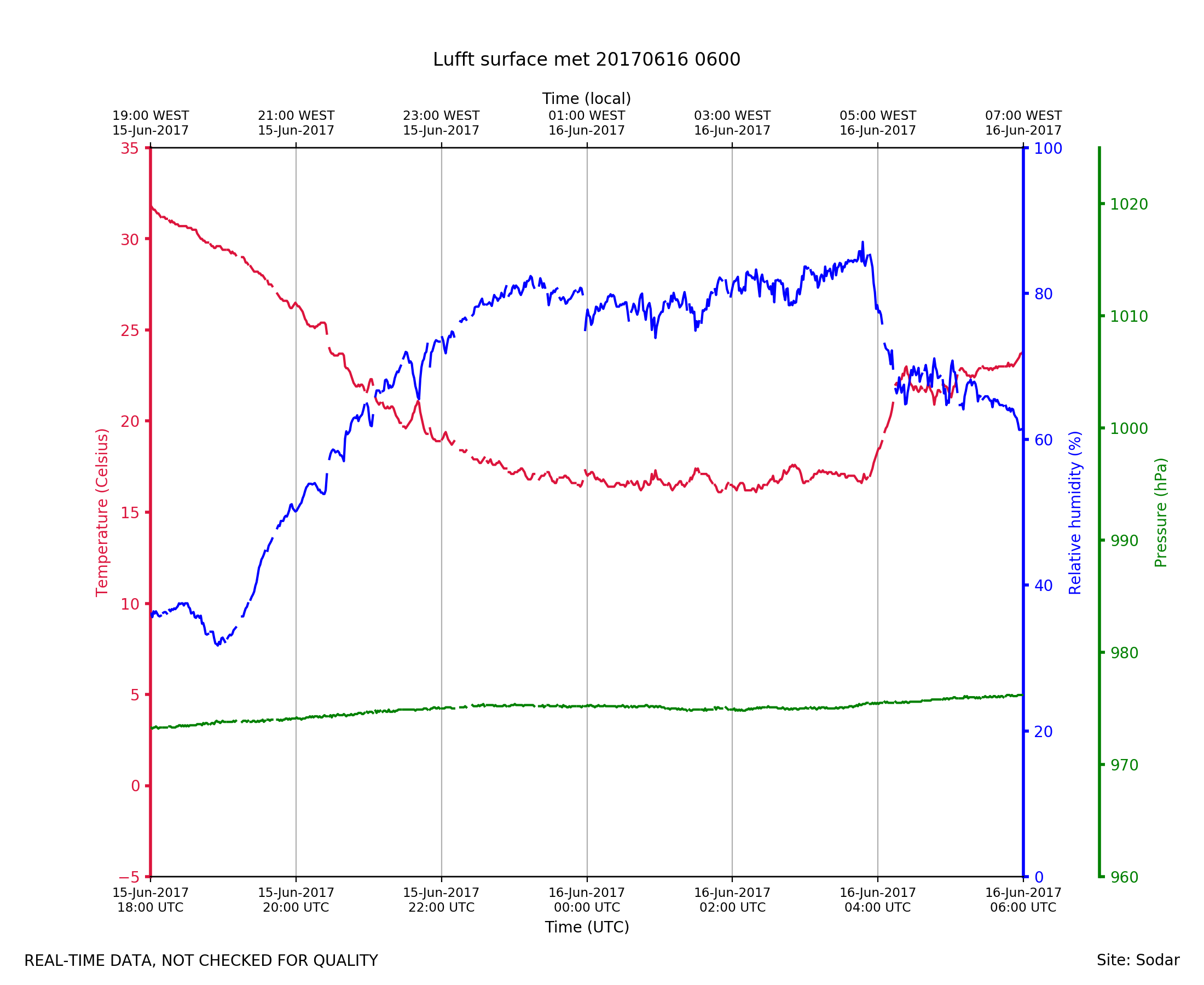
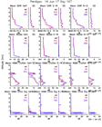
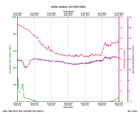
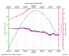
Sodar_Lufft.201706160600.pth
|
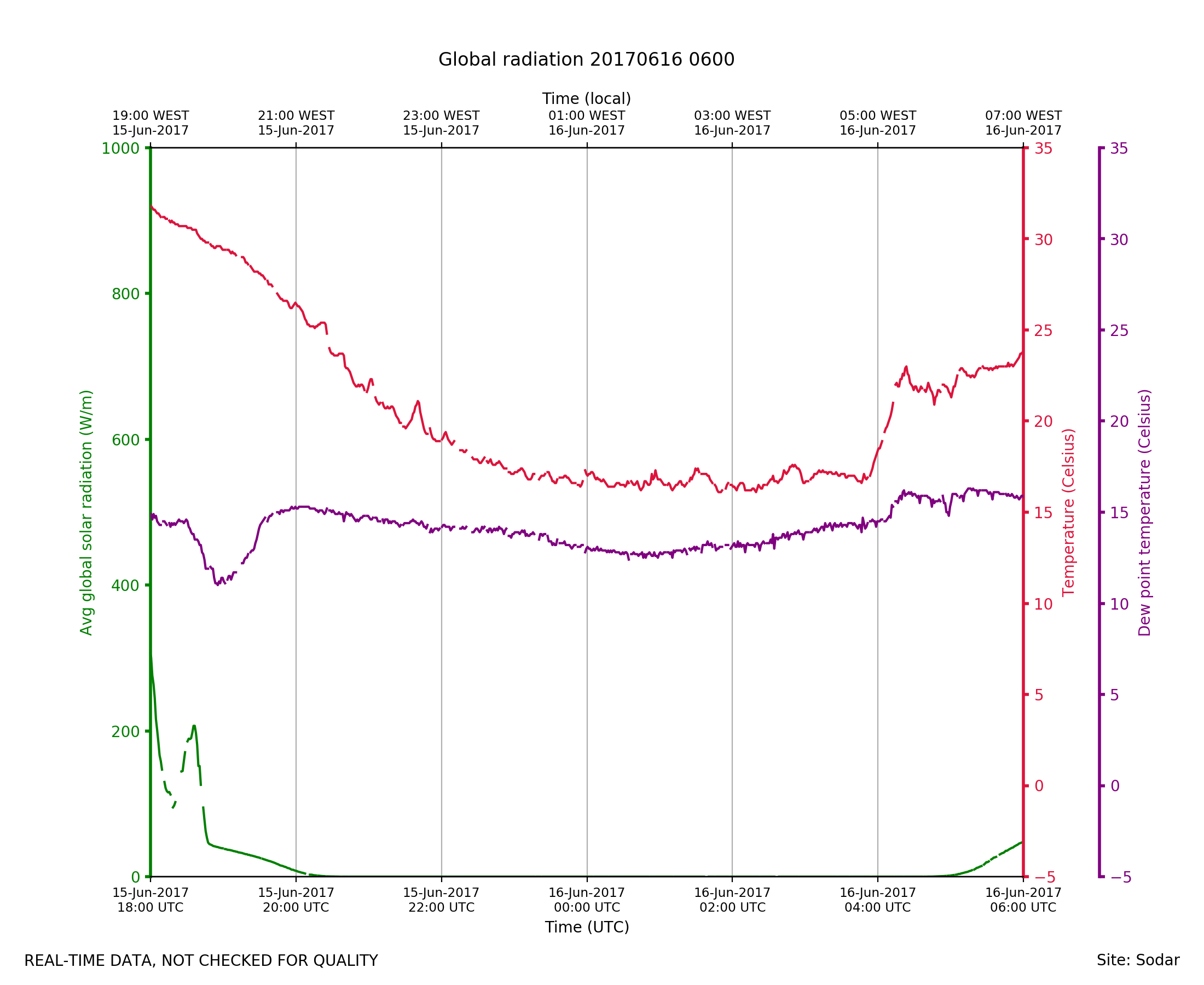
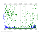
Sodar_Lufft.201706160600.radiat...
|
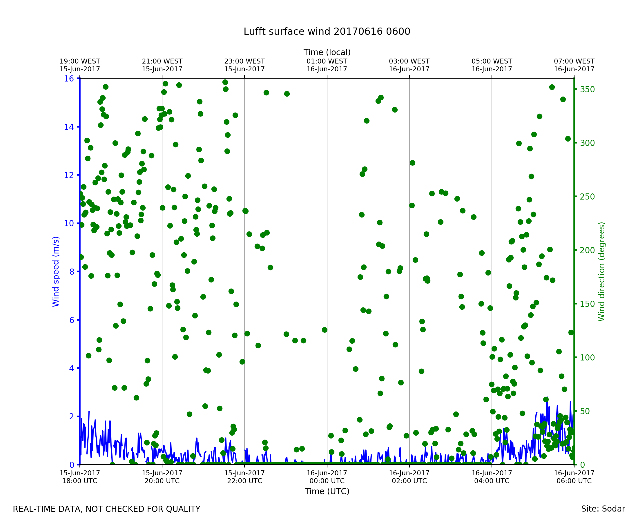
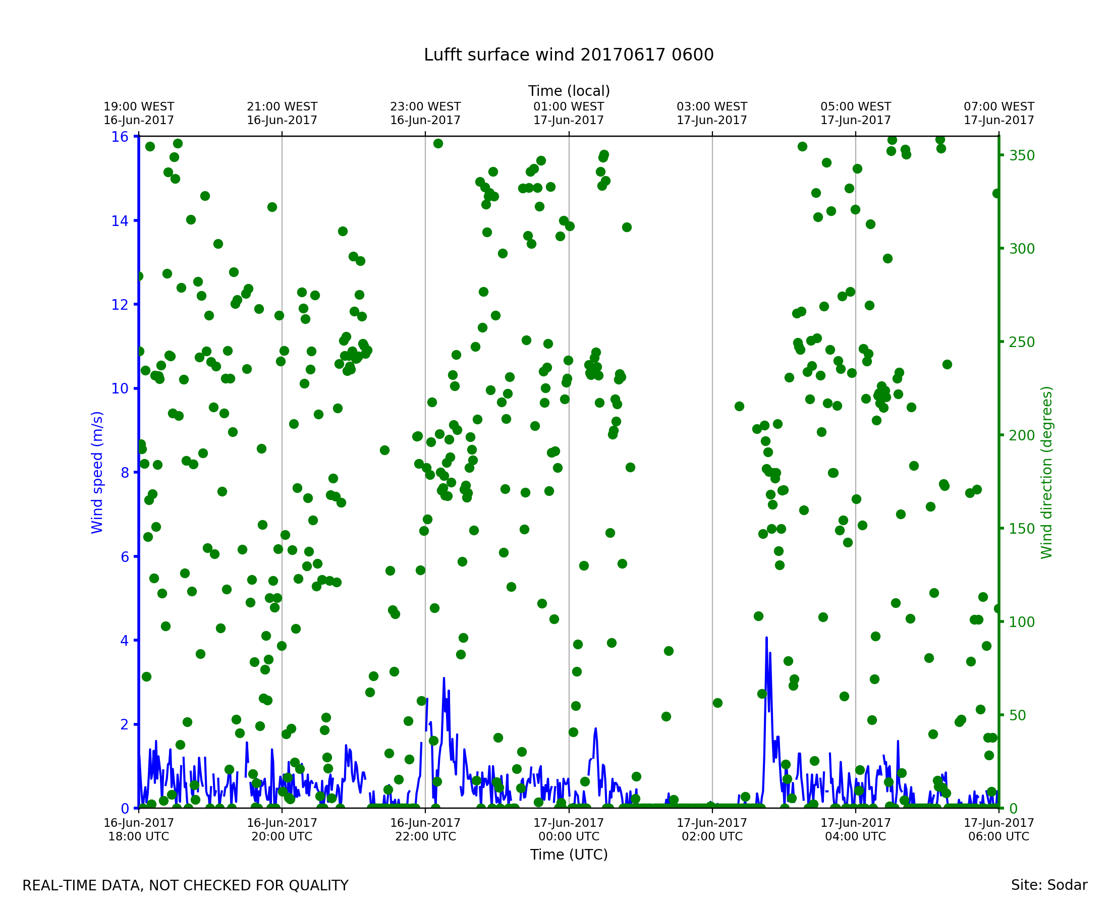
Sodar_Lufft.201706160600.wind
|
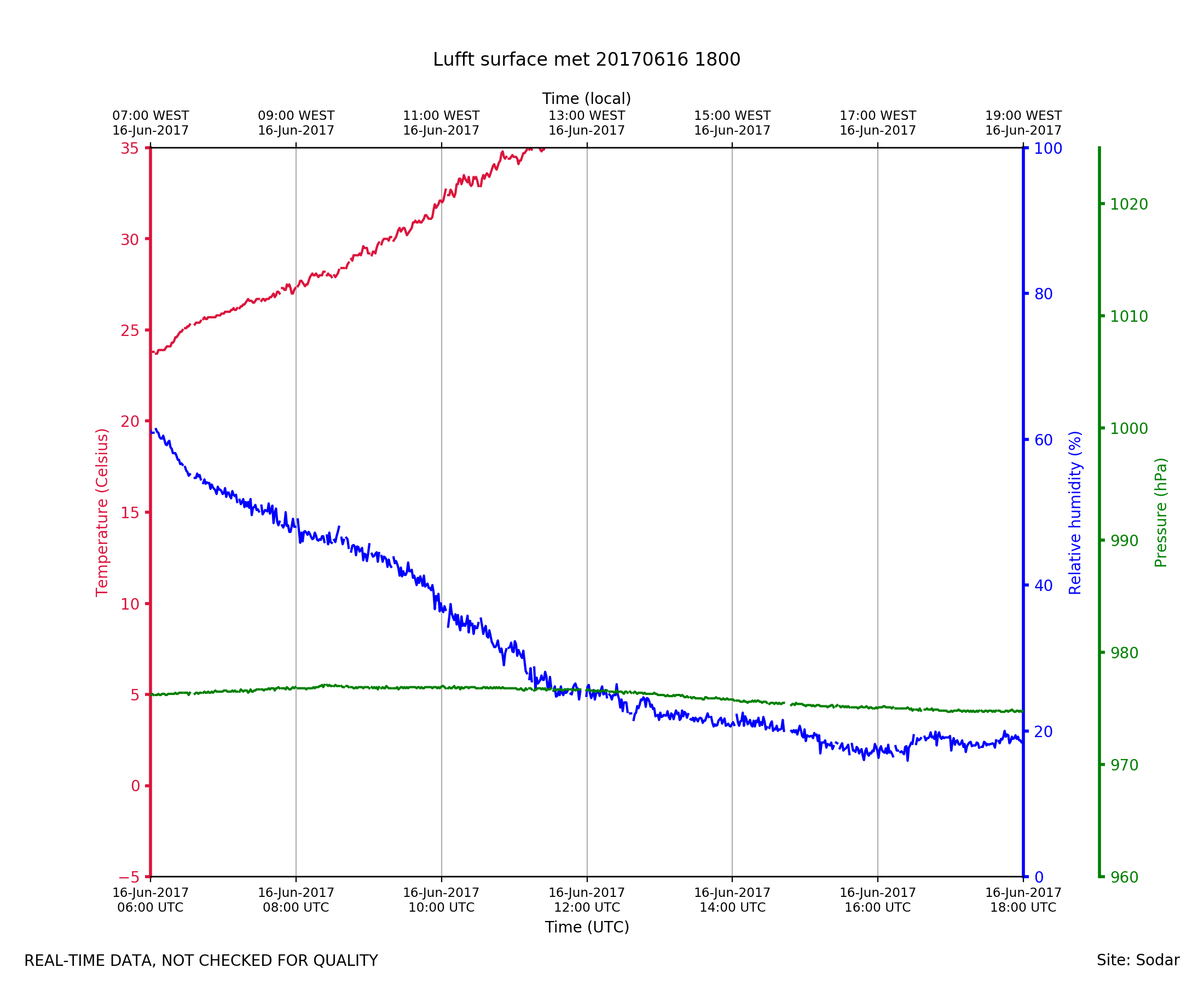
Sodar_Lufft.201706161800.pth
|
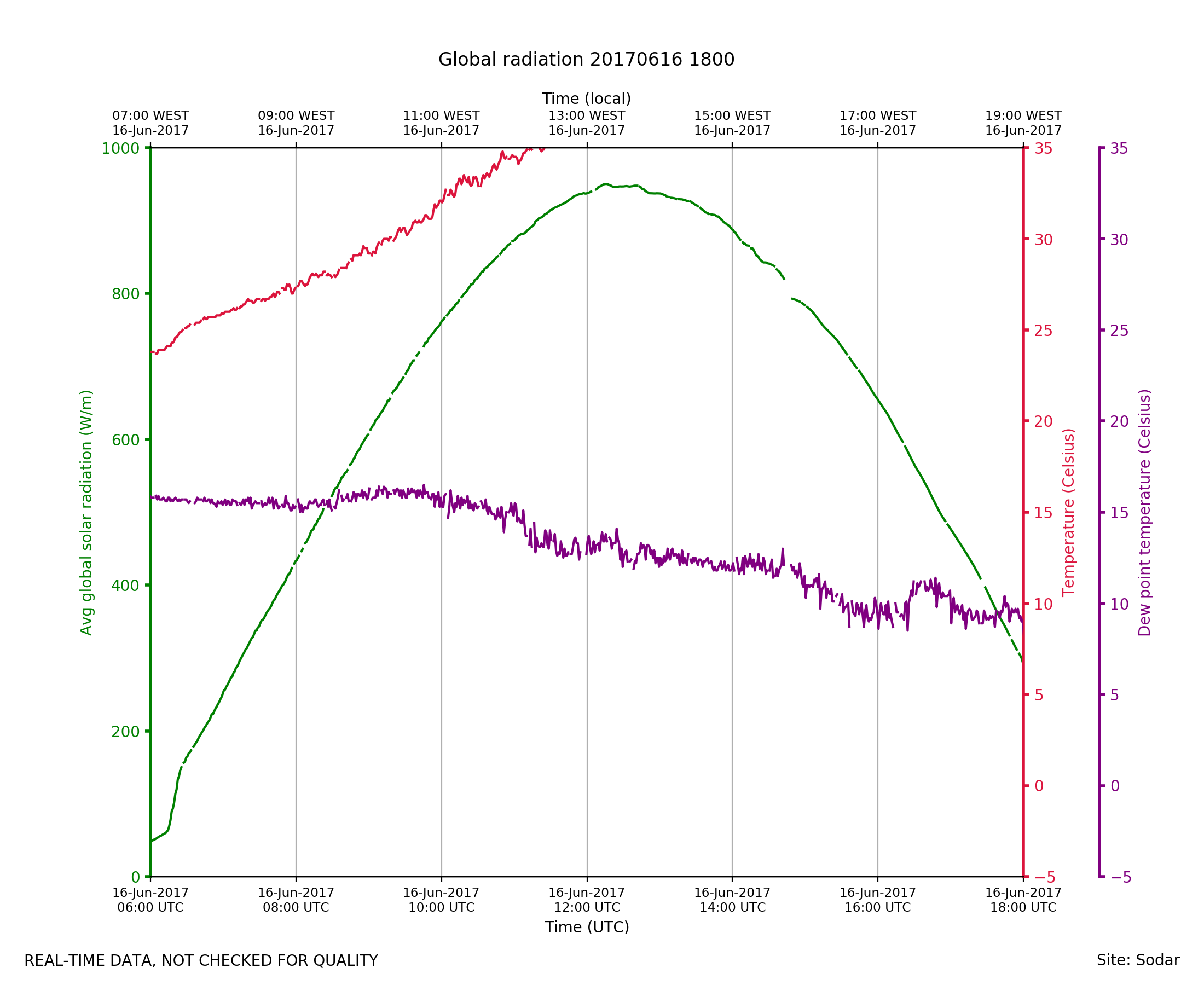
Sodar_Lufft.201706161800.radiat...
|
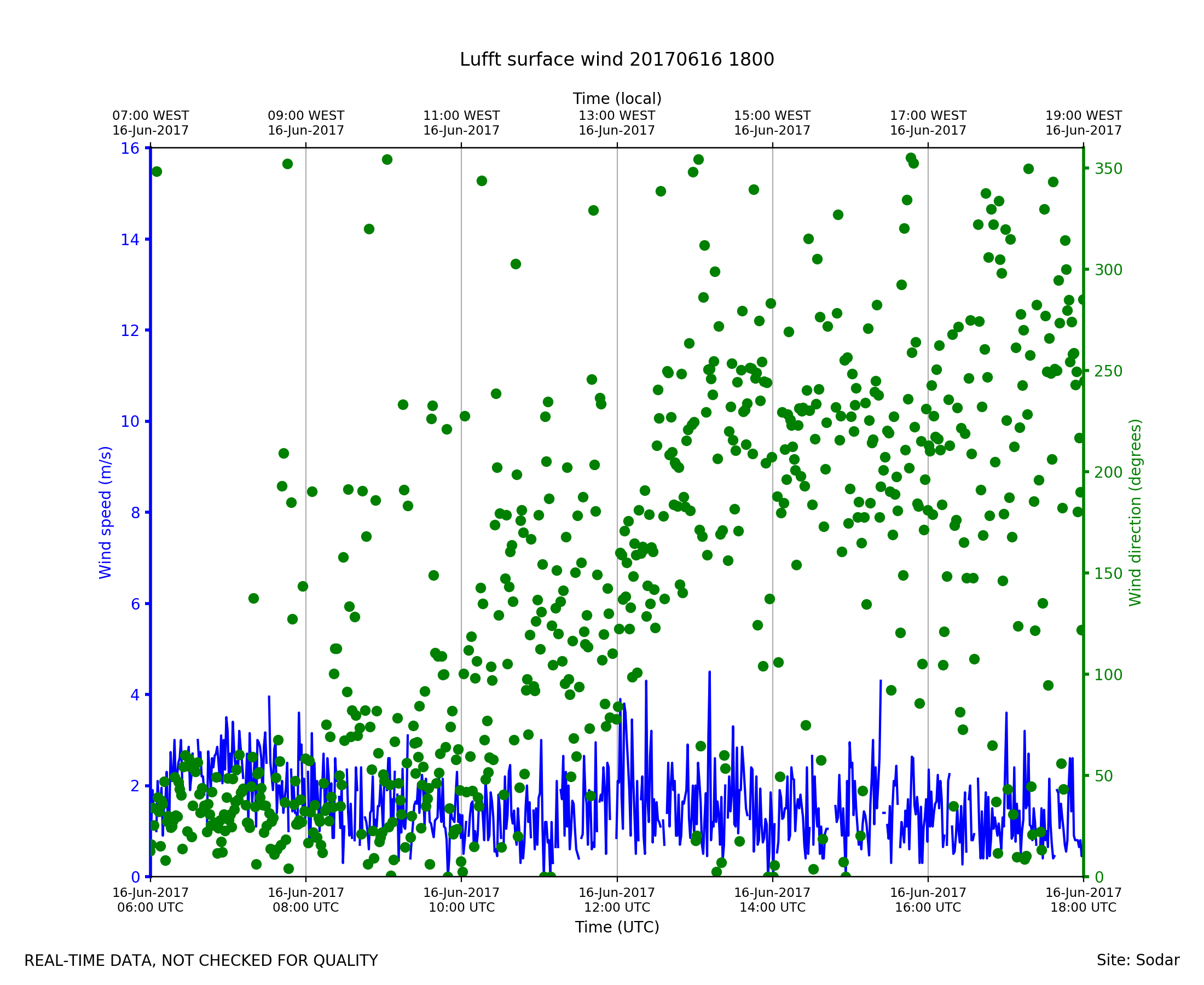
Sodar_Lufft.201706161800.wind
|
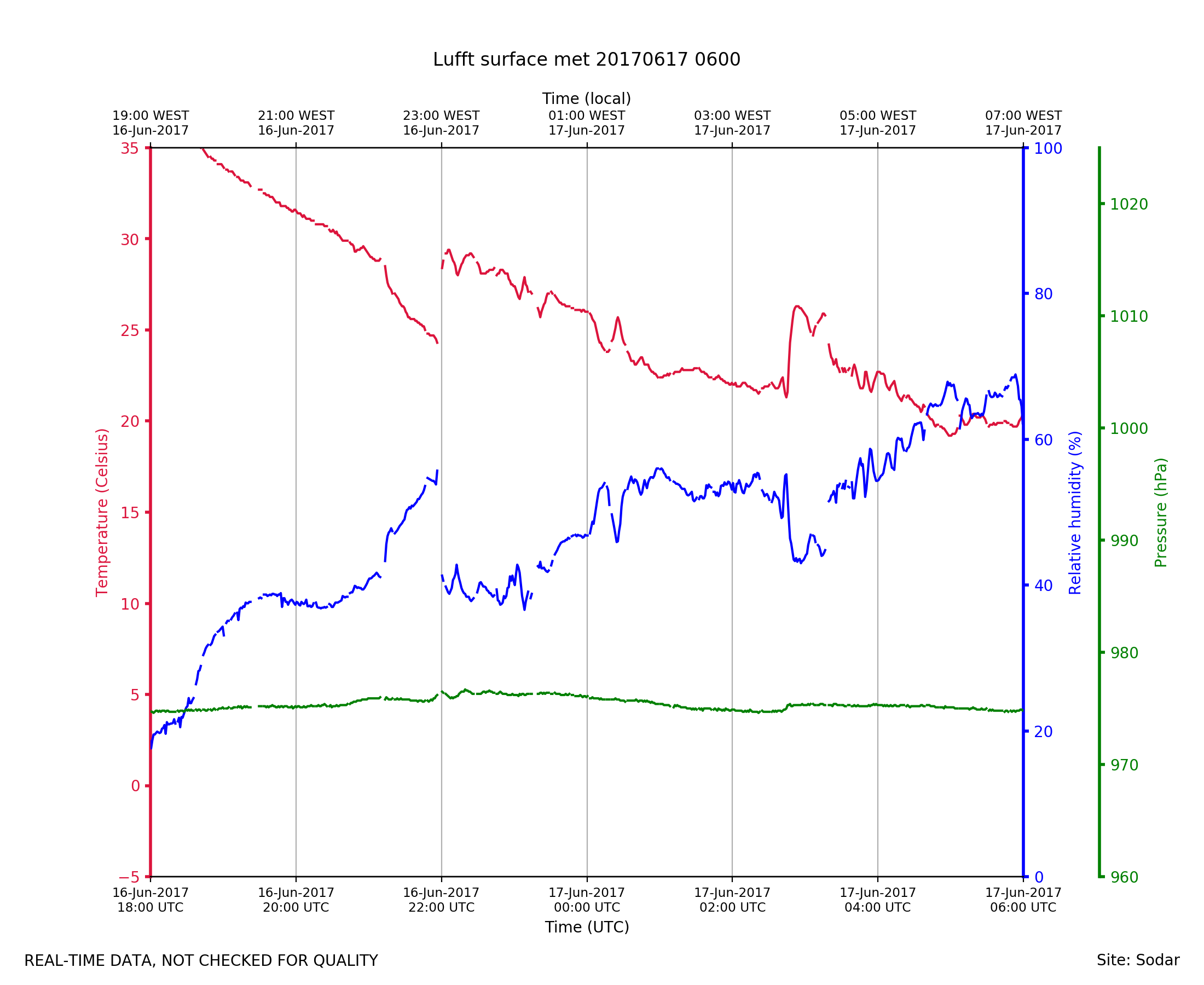
Sodar_Lufft.201706170600.pth
|
Sodar_Lufft.201706170600.radiat...
|
Sodar_Lufft.201706170600.wind
|