Click on the thumbnail image to view the full-size image.
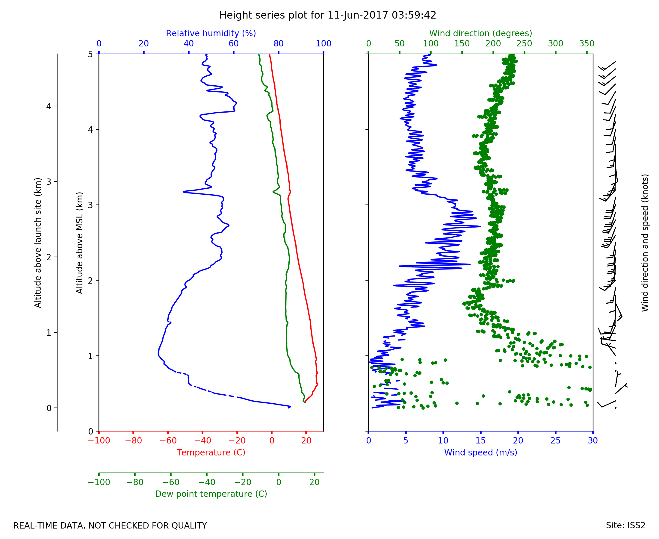
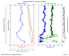
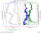
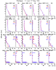
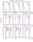
ISS2_Sonde.201706110359.height_...

|
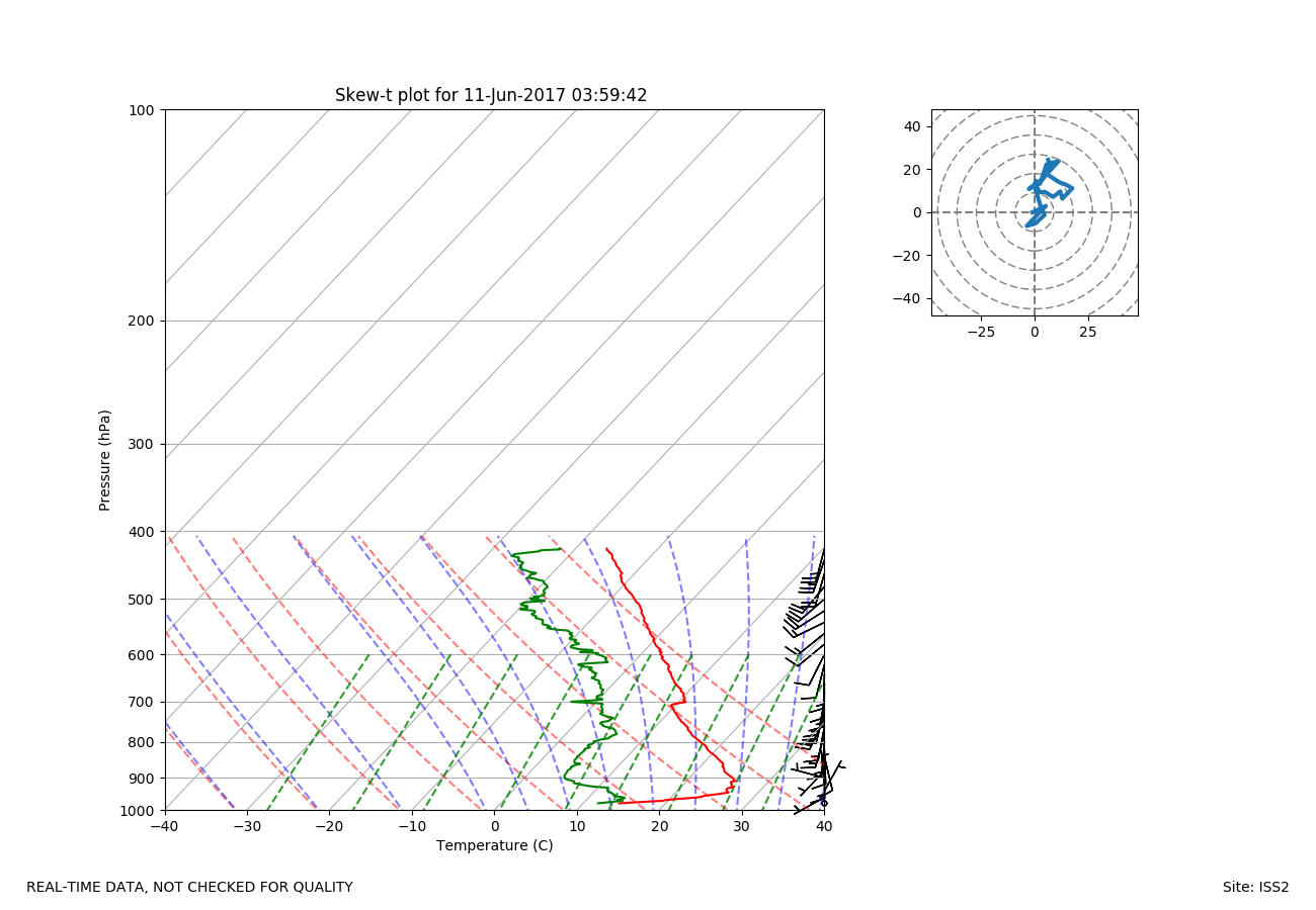
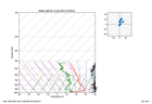
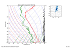
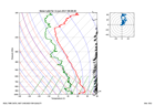
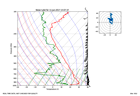
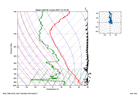
ISS2_Sonde.201706110359.skewT
|
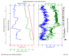
ISS2_Sonde.201706110507.height_...
|
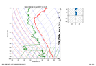
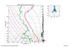
ISS2_Sonde.201706110507.skewT
|
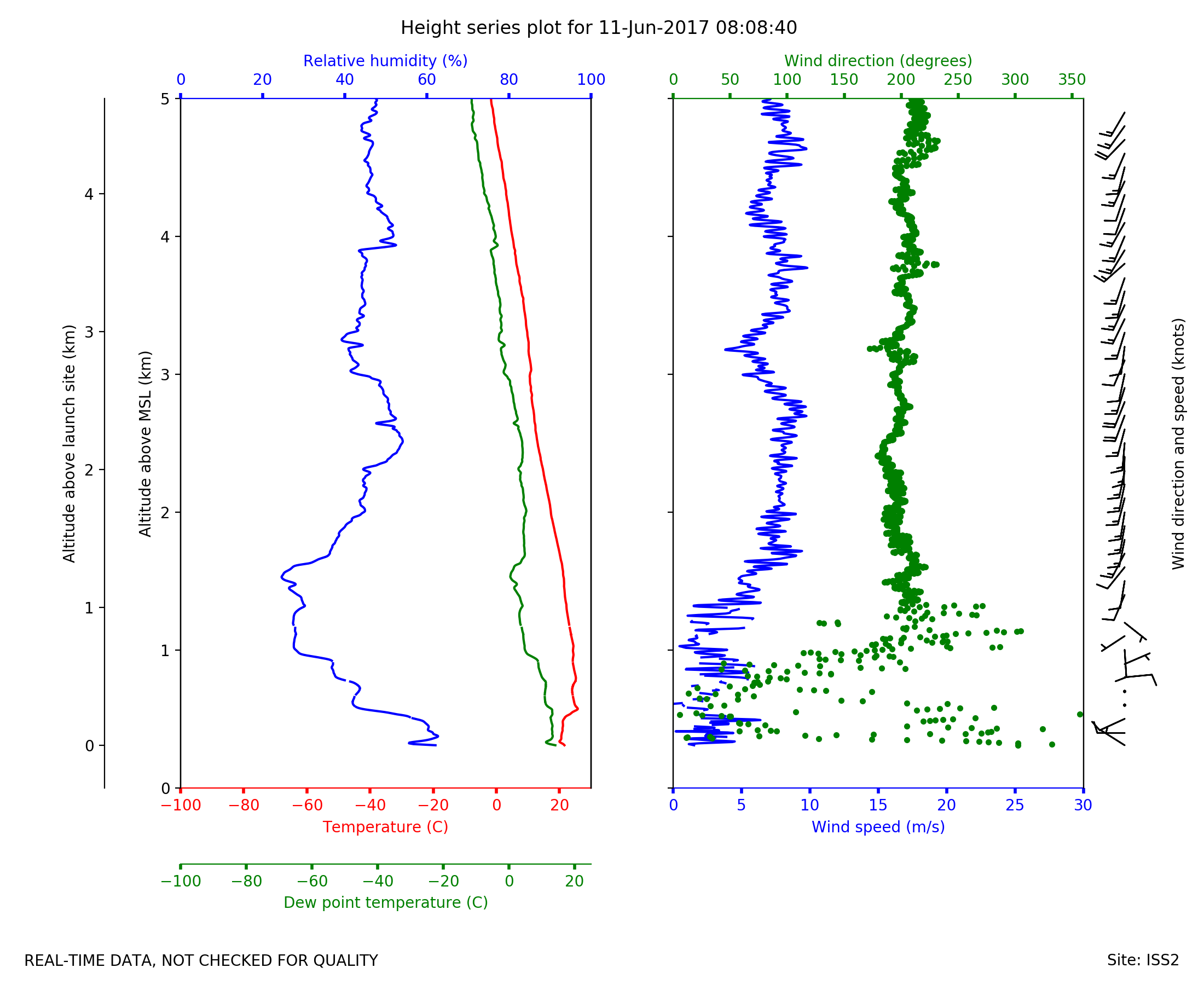
ISS2_Sonde.201706110808.height_...
|
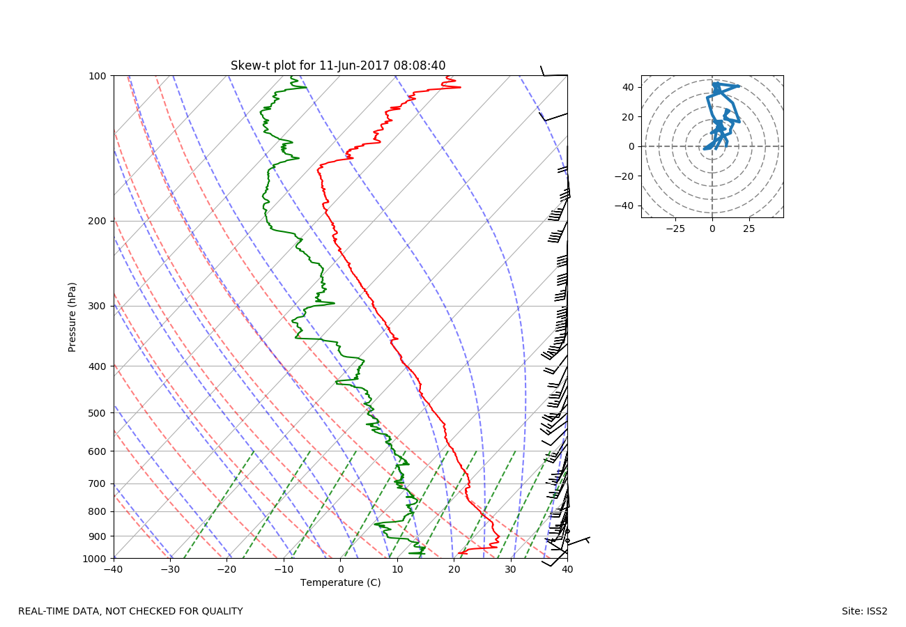
ISS2_Sonde.201706110808.skewT
|
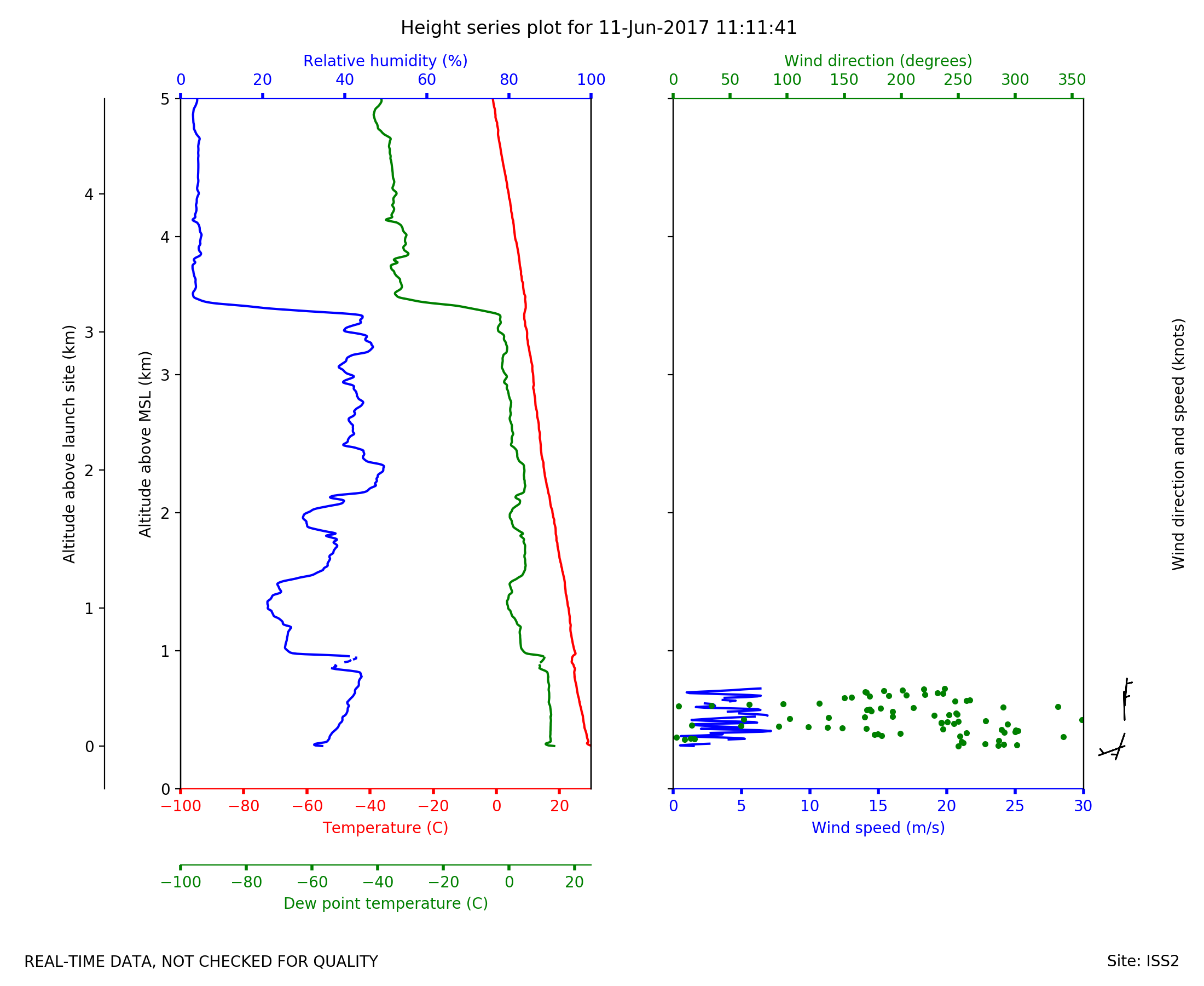
ISS2_Sonde.201706111111.height_...

|
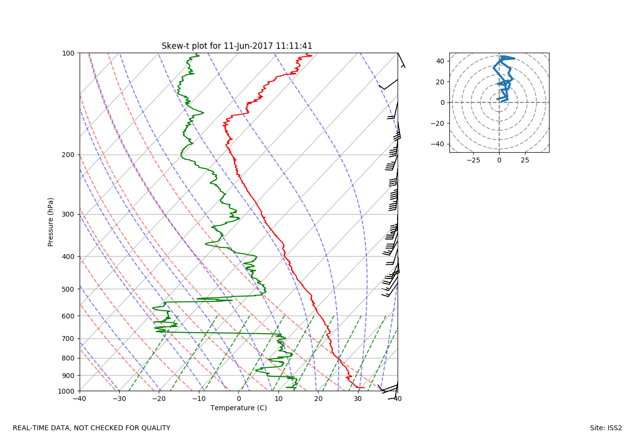
ISS2_Sonde.201706111111.skewT
|
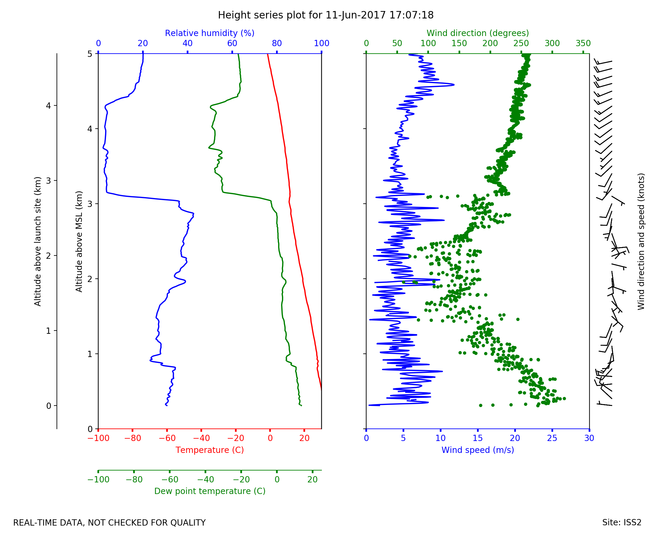
ISS2_Sonde.201706111707.height_...
|
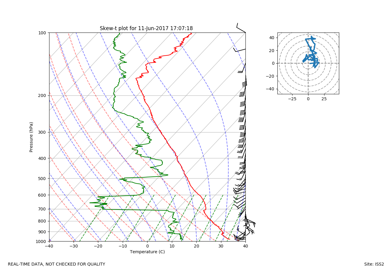
ISS2_Sonde.201706111707.skewT
|
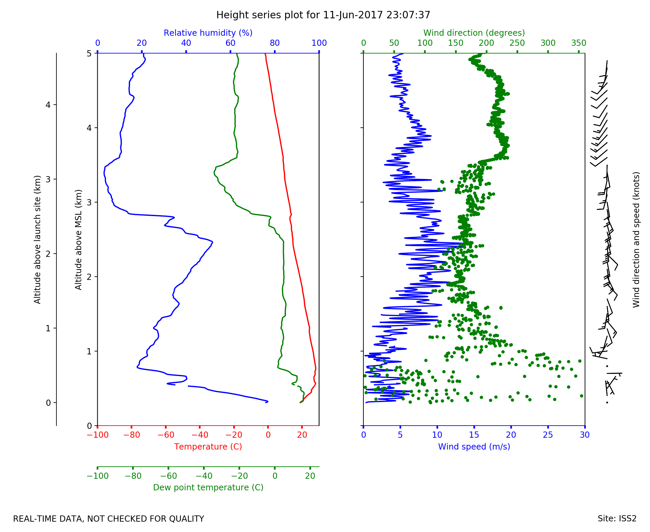
ISS2_Sonde.201706112307.height_...
|
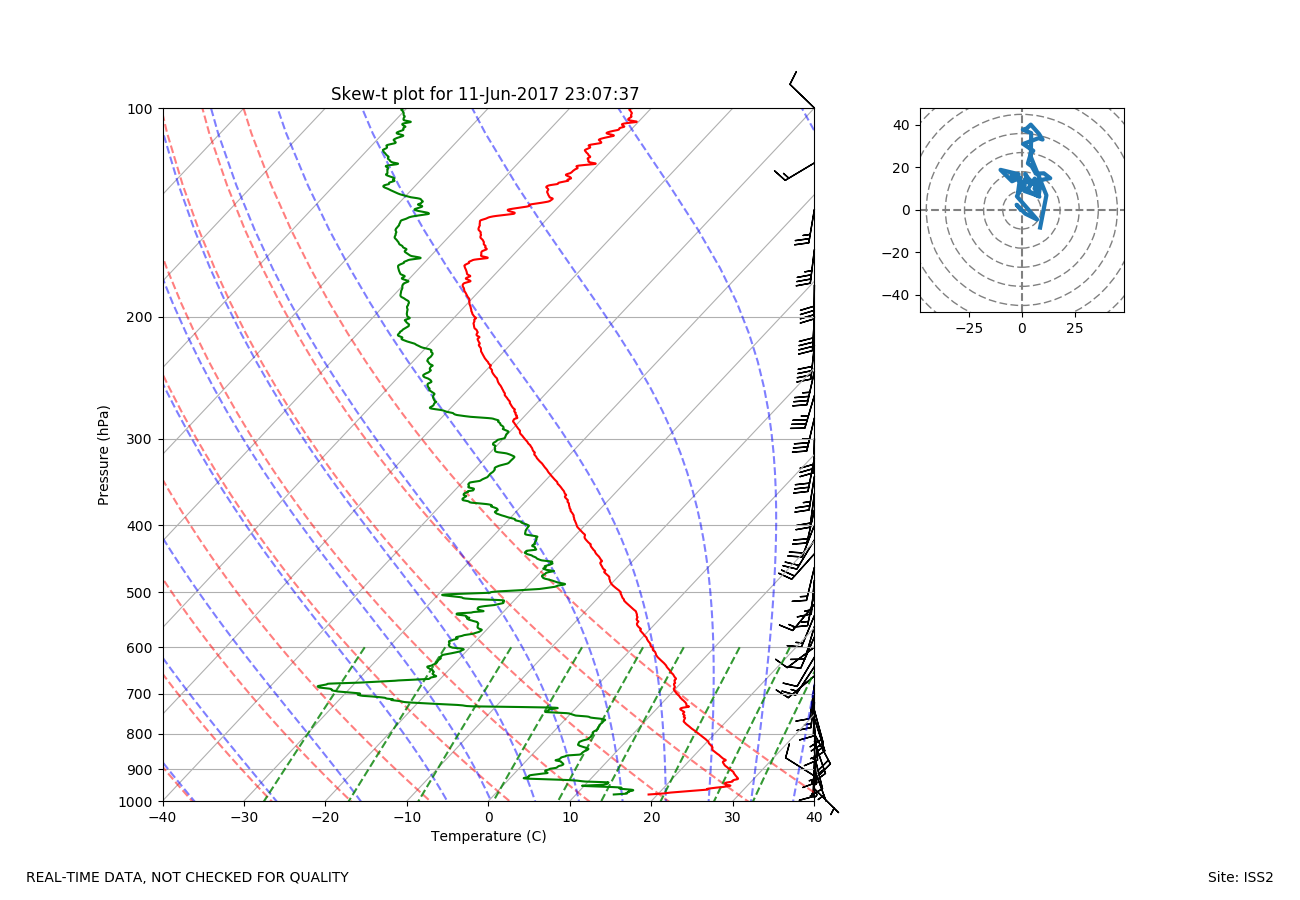
ISS2_Sonde.201706112307.skewT
|
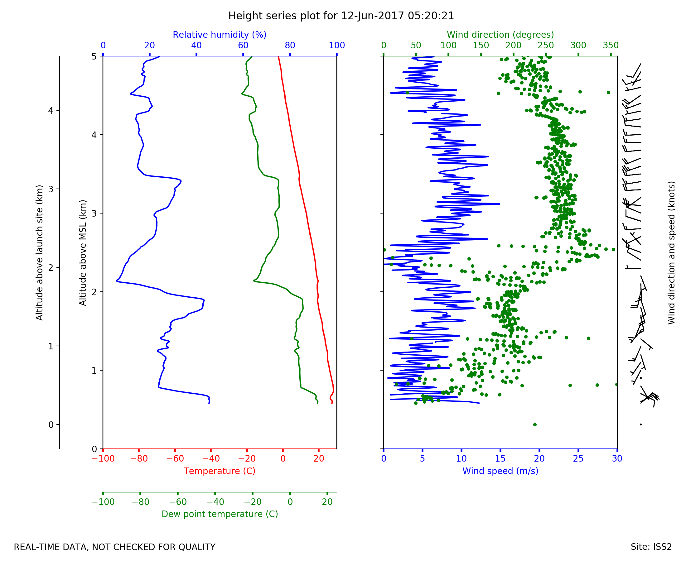
ISS2_Sonde.201706120520.height_...
|
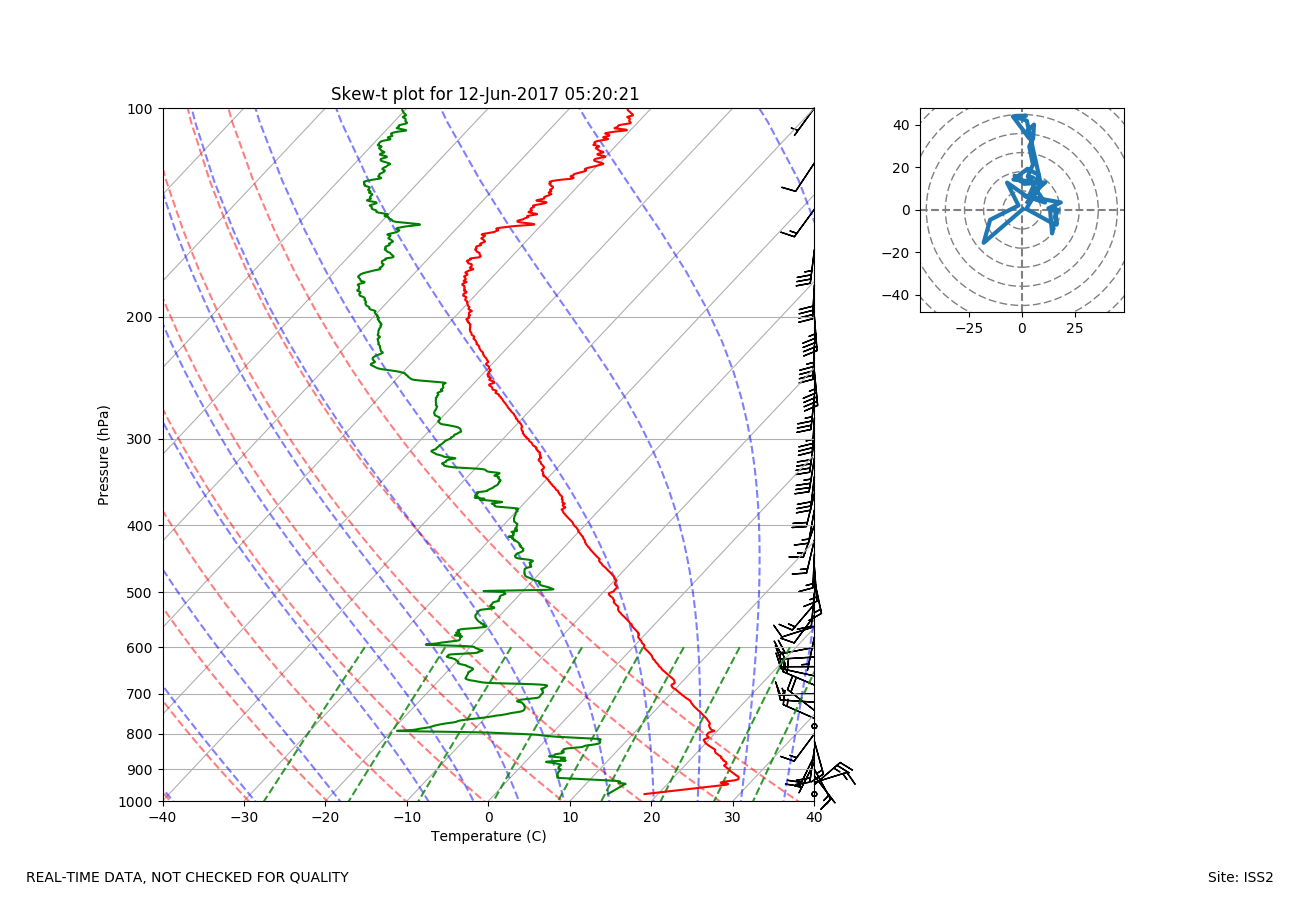
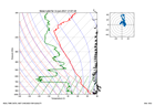
ISS2_Sonde.201706120520.skewT
|
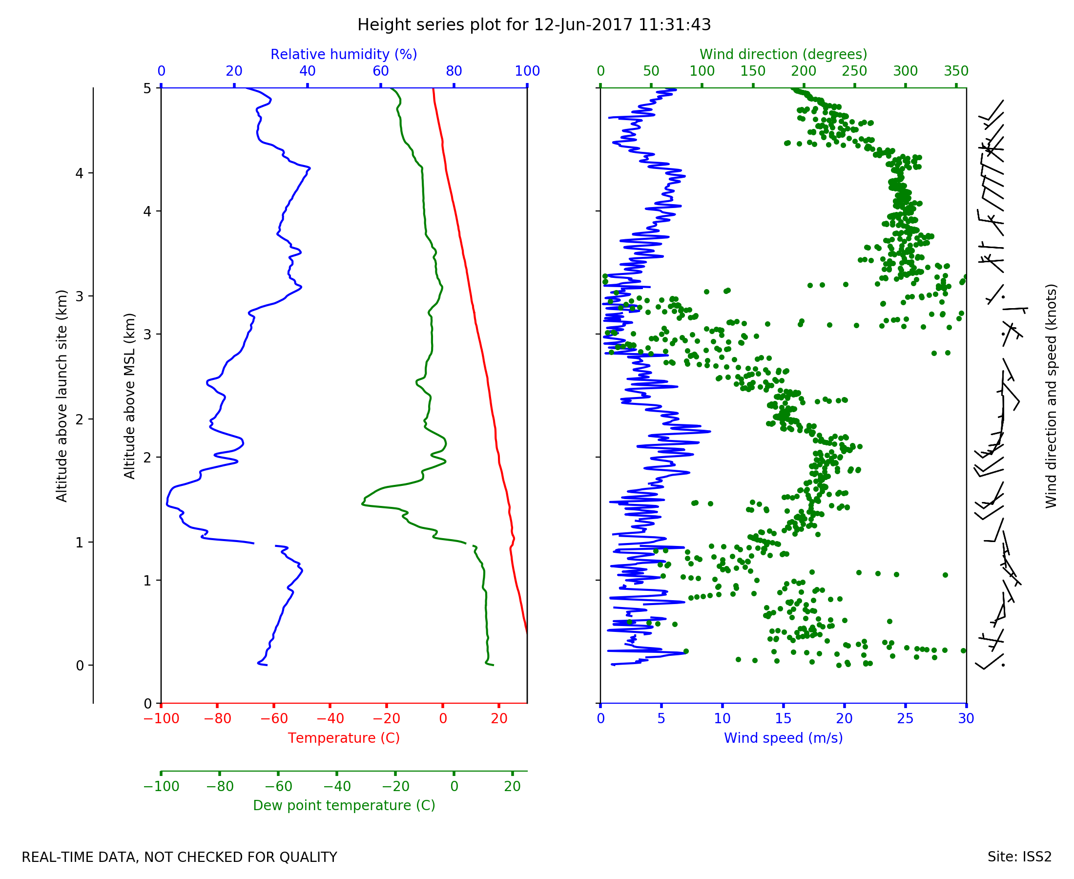
ISS2_Sonde.201706121131.height_...

|
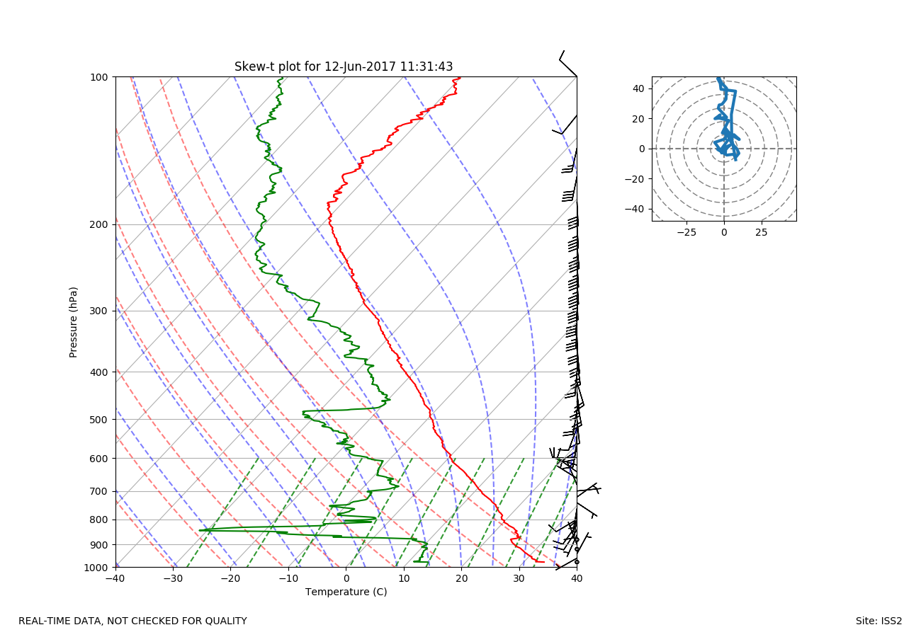
ISS2_Sonde.201706121131.skewT
|
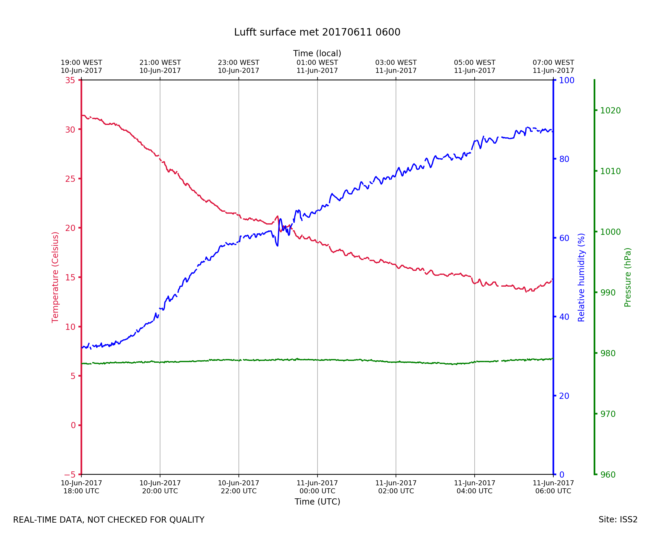
ISS2_Surface.201706110600.pth
|
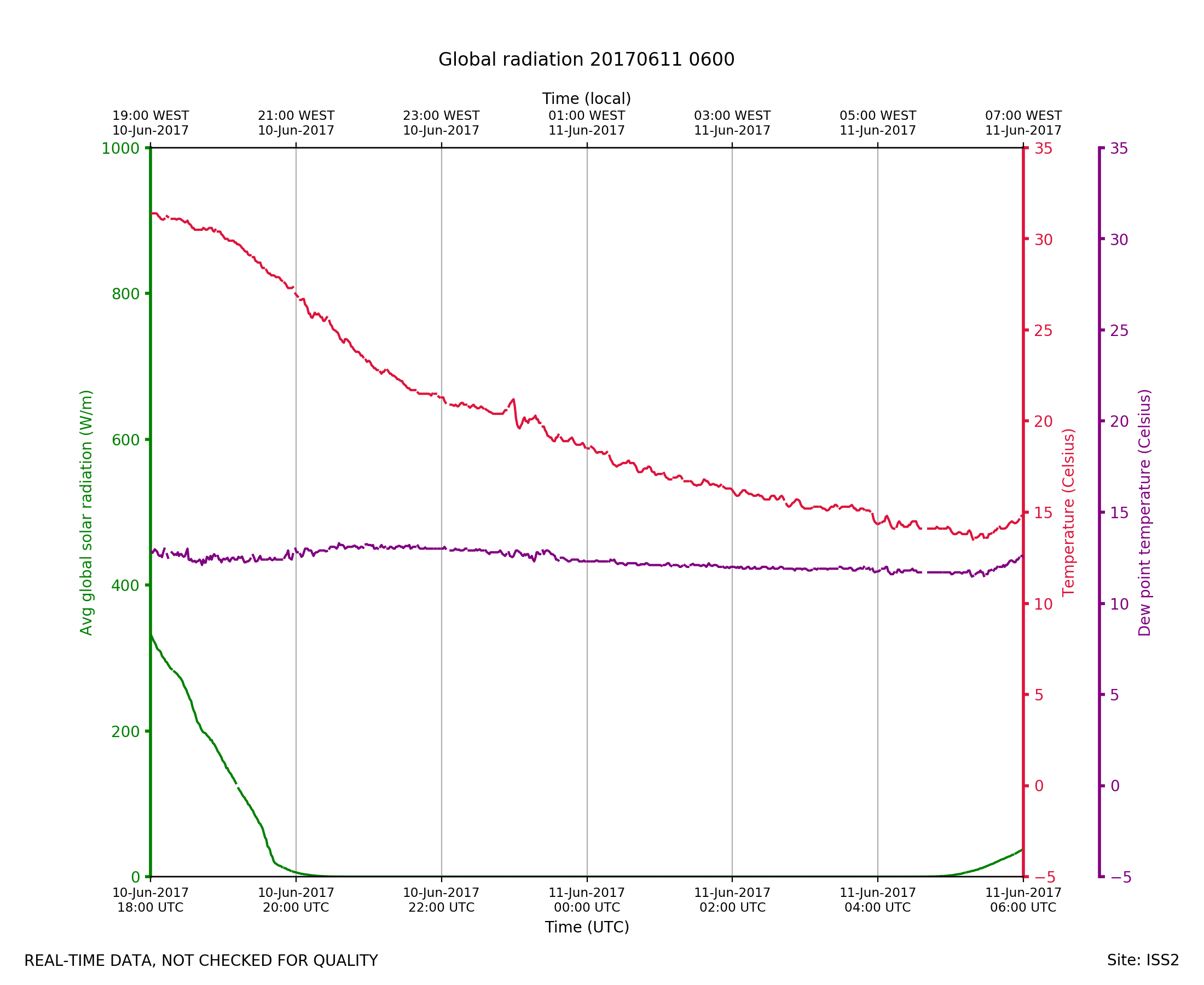
ISS2_Surface.201706110600.radia...
|
ISS2_Surface.201706110600.wind
|
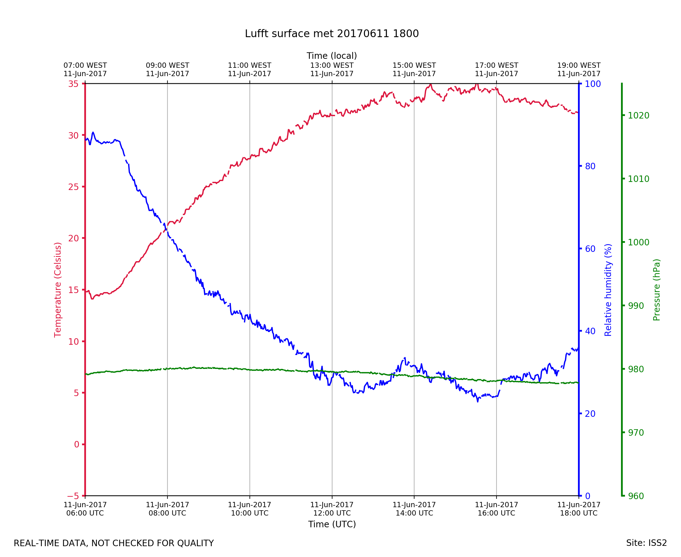
ISS2_Surface.201706111800.pth
|
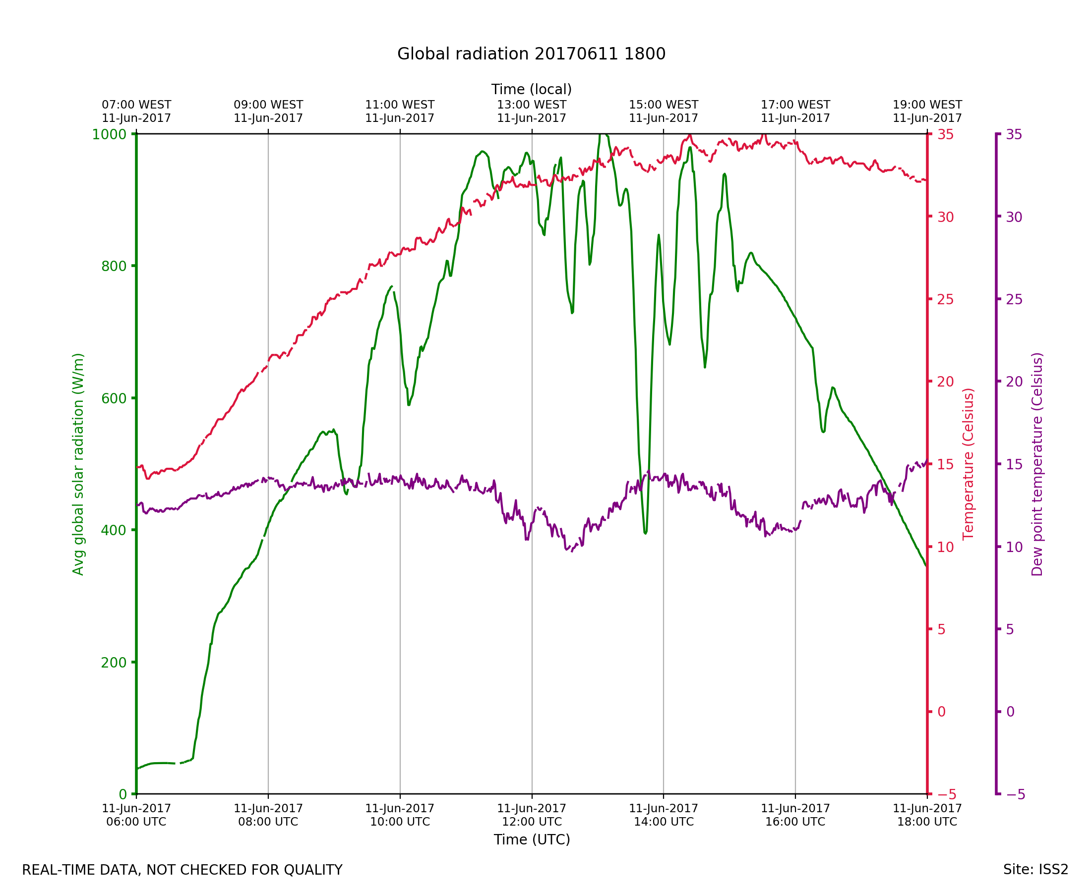
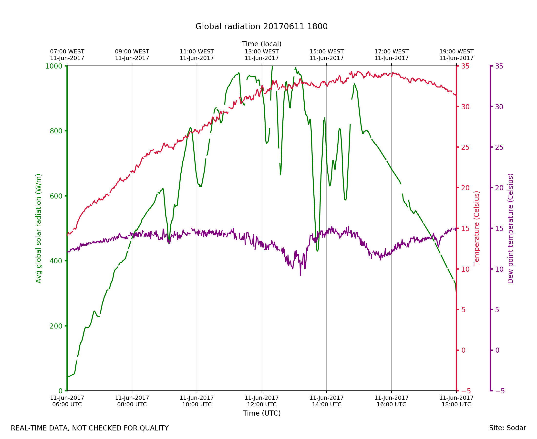
ISS2_Surface.201706111800.radia...

|
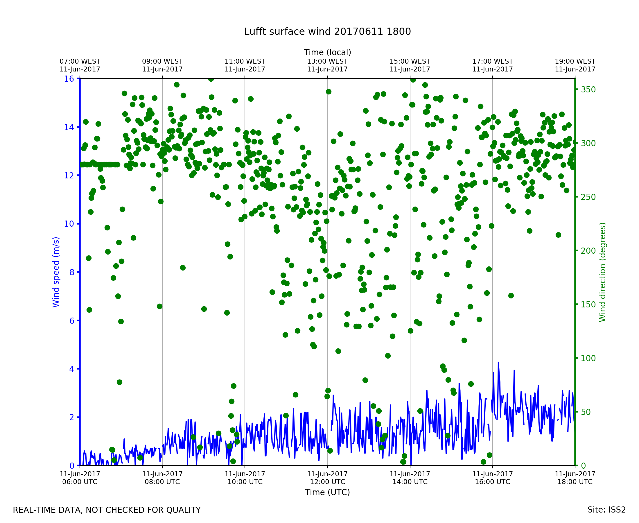
ISS2_Surface.201706111800.wind
|
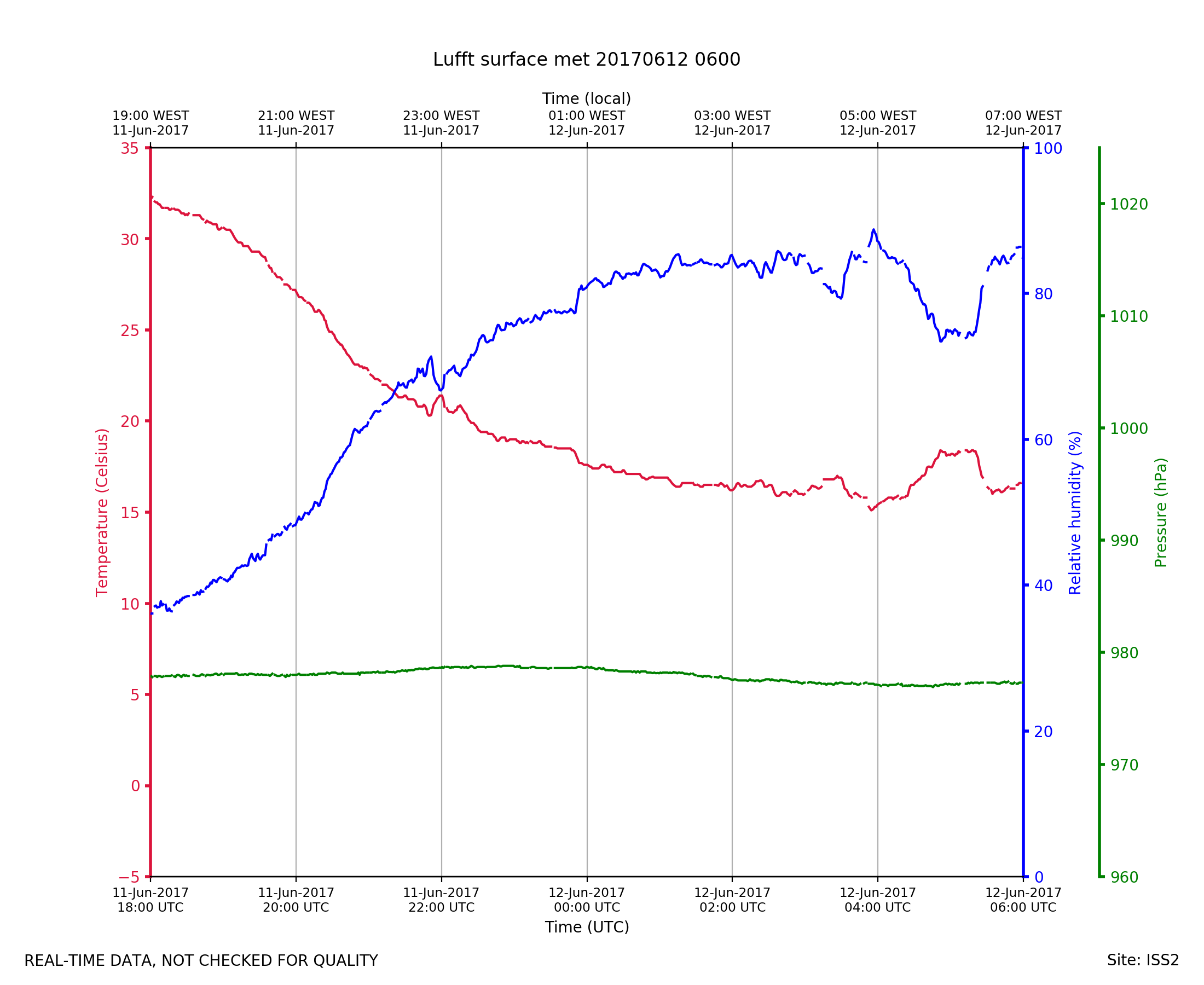
ISS2_Surface.201706120600.pth
|
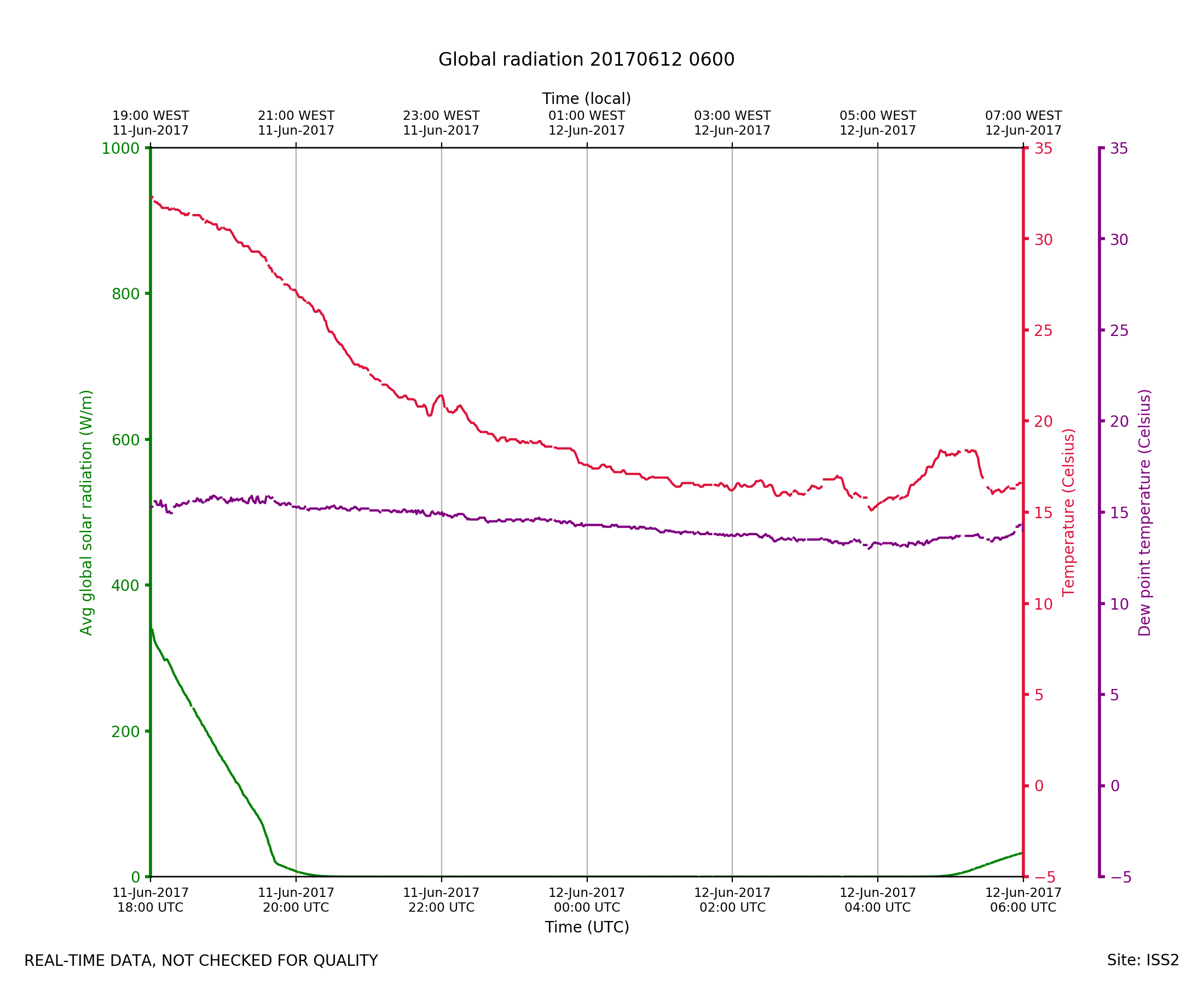
ISS2_Surface.201706120600.radia...
|
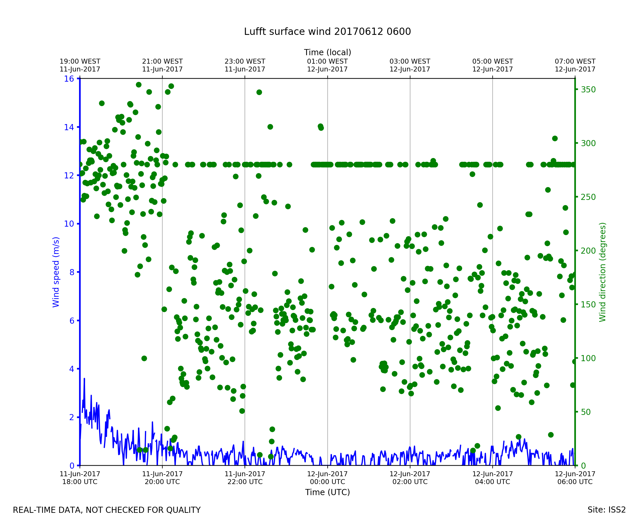
ISS2_Surface.201706120600.wind

|
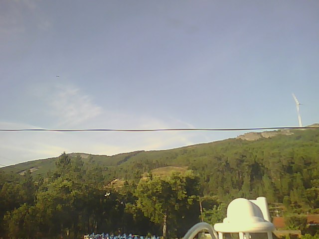
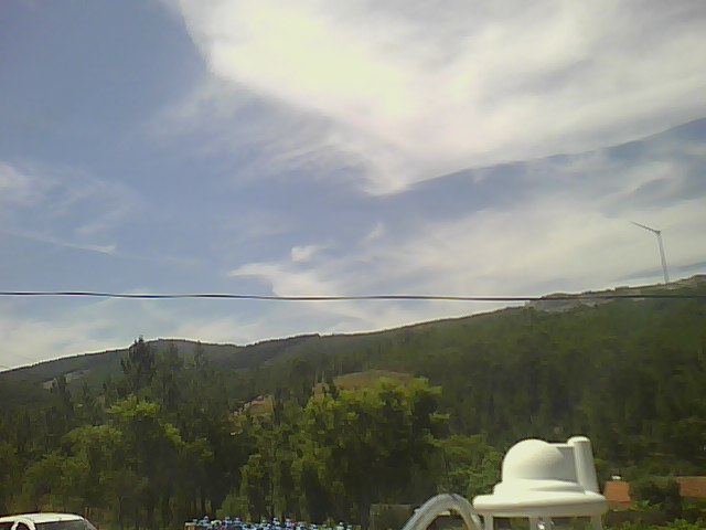
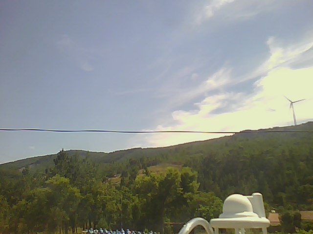
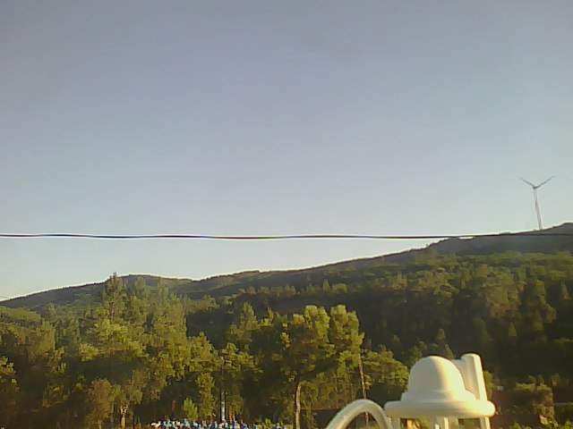
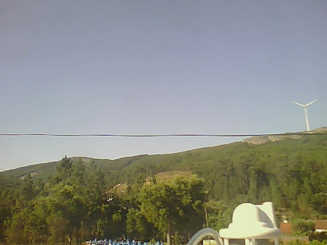
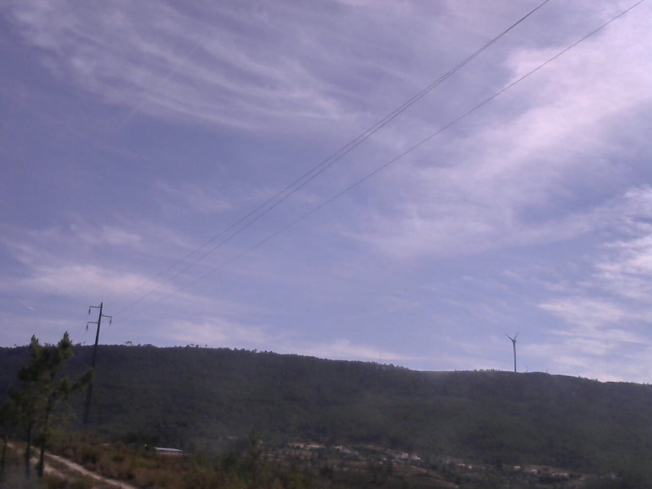
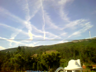
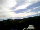
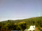
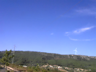
ISS2_Webcam.201706110500.photo
|
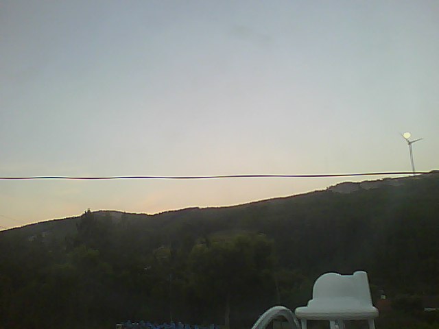
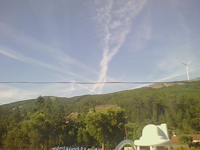
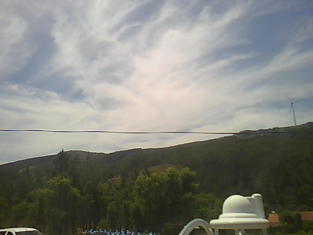
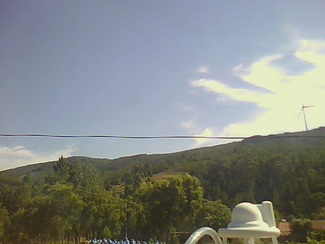
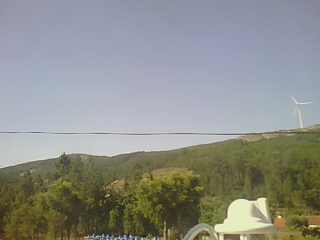
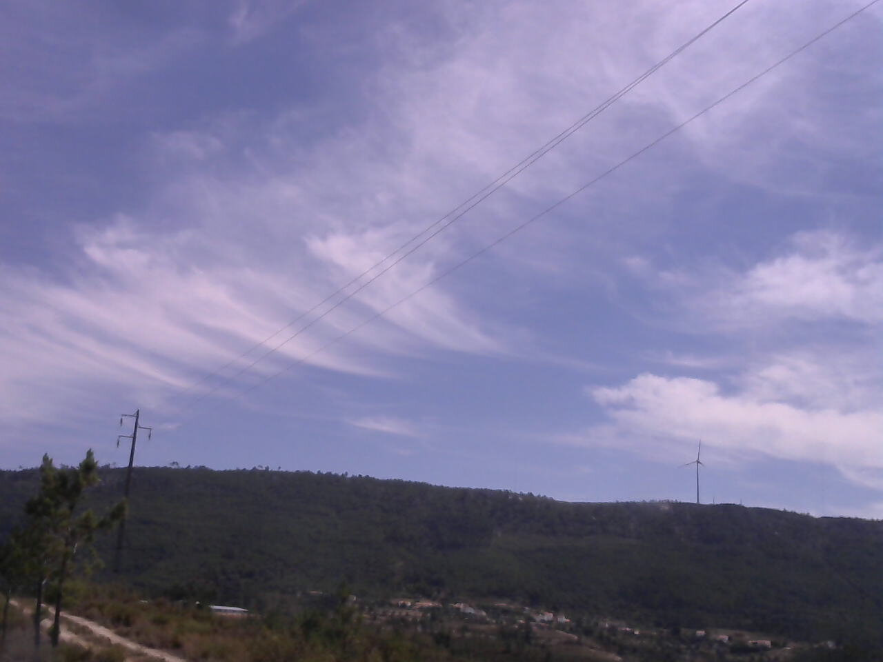
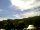
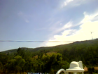
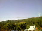
ISS2_Webcam.201706110600.photo
|
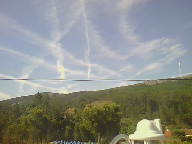
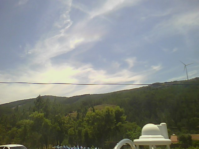
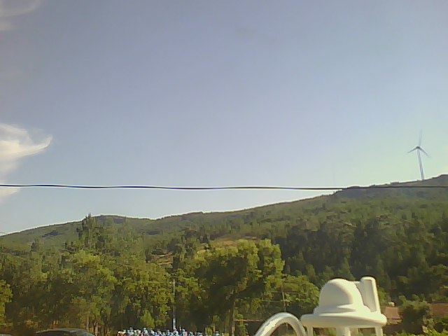
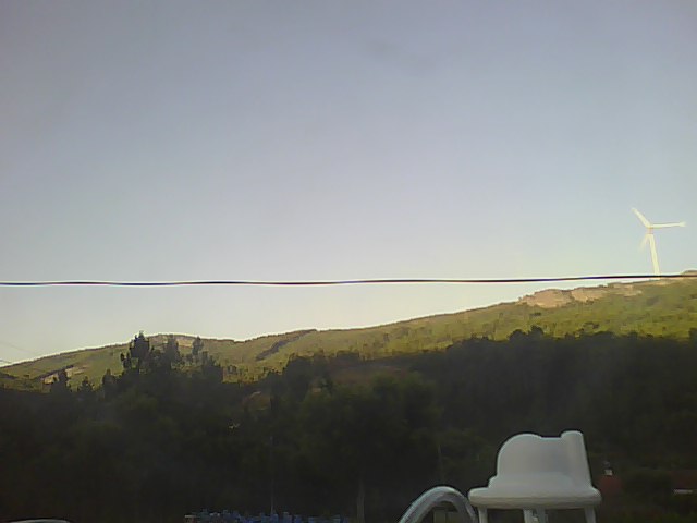
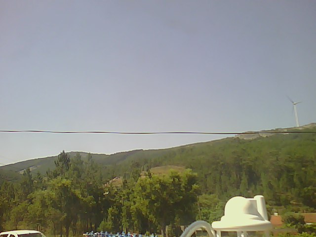
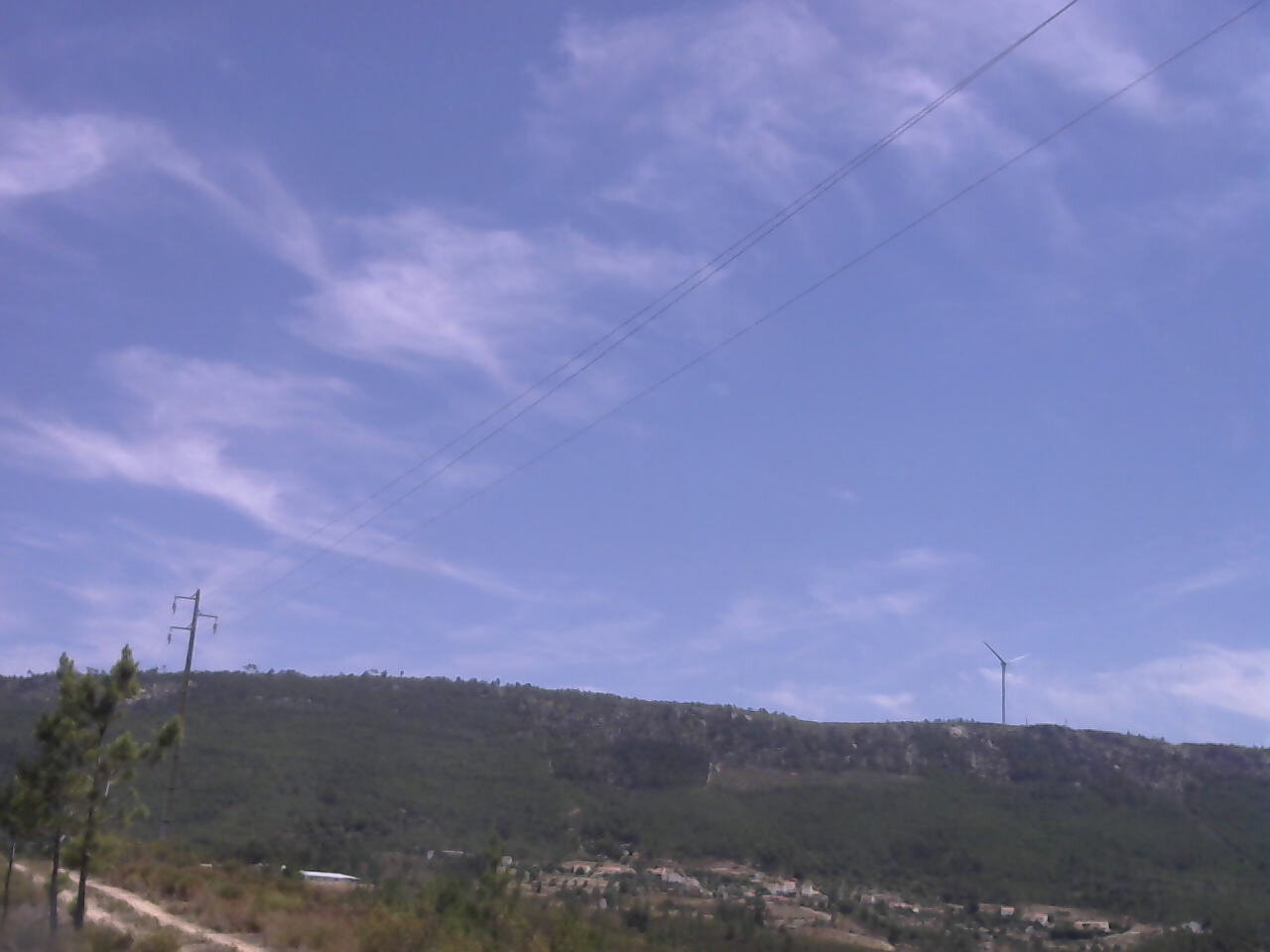
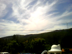
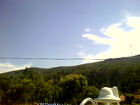
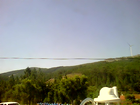
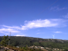
ISS2_Webcam.201706110700.photo
|
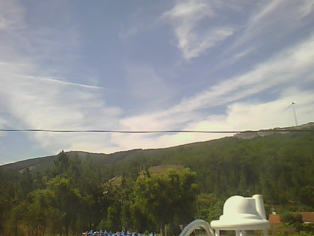
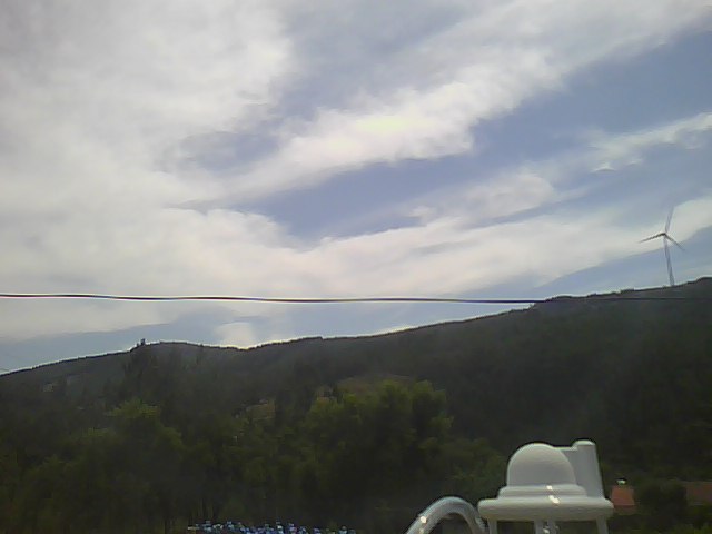
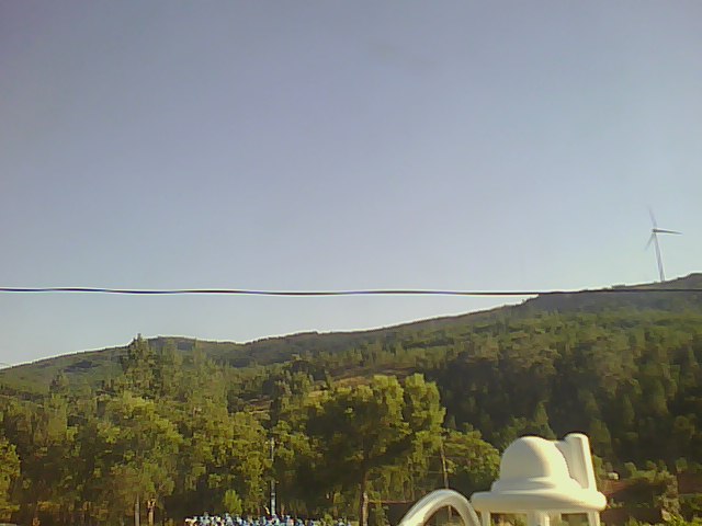
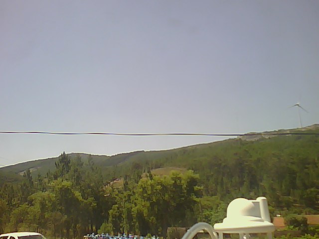
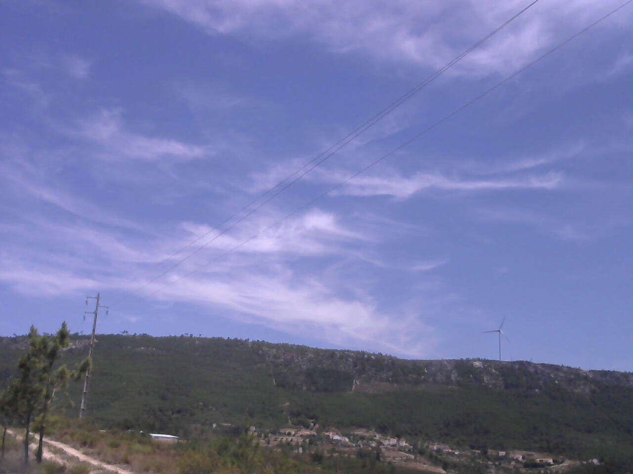
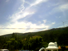
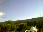
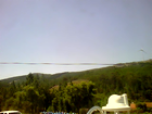
ISS2_Webcam.201706110800.photo
|
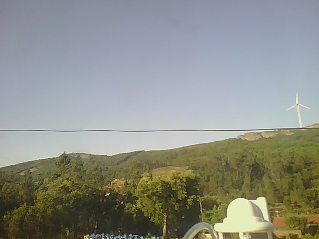
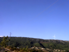
ISS2_Webcam.201706110900.photo
|
ISS2_Webcam.201706111000.photo

|
ISS2_Webcam.201706111100.photo
|
ISS2_Webcam.201706111200.photo
|
ISS2_Webcam.201706111300.photo
|
ISS2_Webcam.201706111400.photo
|
ISS2_Webcam.201706111500.photo
|
ISS2_Webcam.201706111600.photo
|
ISS2_Webcam.201706111700.photo
|
ISS2_Webcam.201706111800.photo

|
ISS2_Webcam.201706111900.photo
|
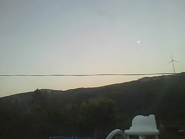
ISS2_Webcam.201706120500.photo
|
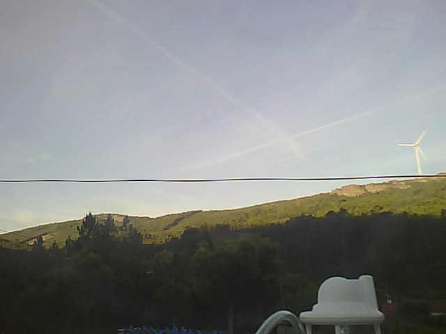
ISS2_Webcam.201706120600.photo
|
ISS2_Webcam.201706120700.photo
|
ISS2_Webcam.201706120800.photo
|
ISS2_Webcam.201706120900.photo
|
ISS2_Webcam.201706121000.photo
|
ISS2_Webcam.201706121100.photo
|
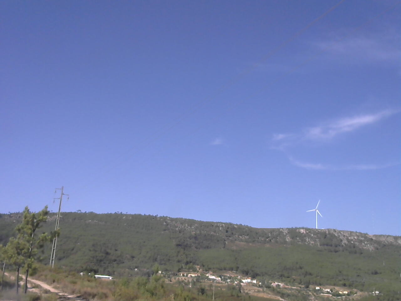
ISS3_Camera.201706110500.photo
|
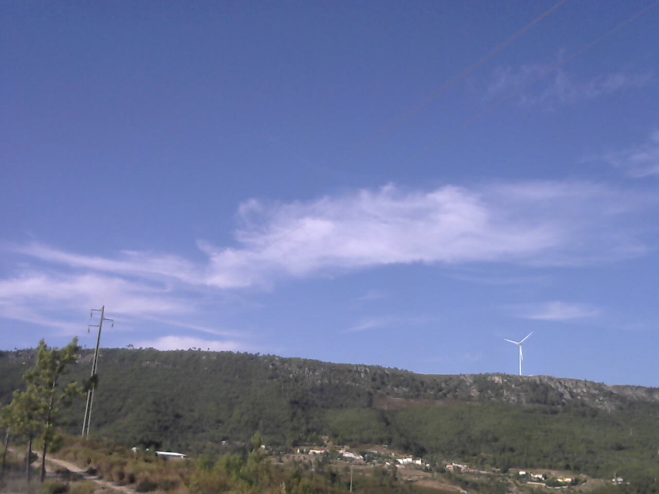
ISS3_Camera.201706110600.photo
|
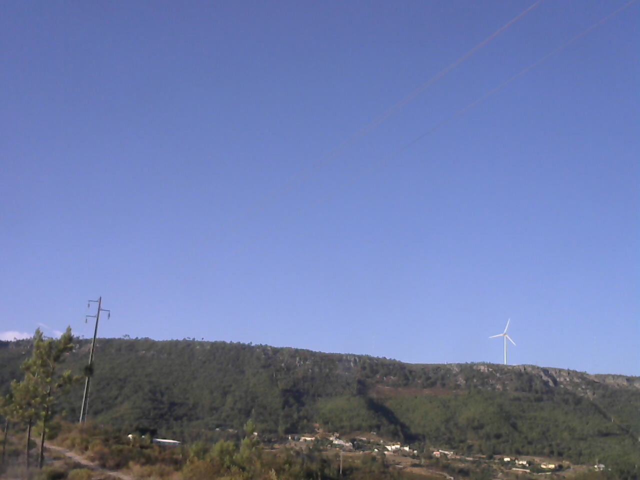
ISS3_Camera.201706110700.photo
|
ISS3_Camera.201706110800.photo
|
ISS3_Camera.201706110900.photo
|
ISS3_Camera.201706111000.photo
|
ISS3_Camera.201706111100.photo
|
ISS3_Camera.201706111200.photo
|
ISS3_Camera.201706111300.photo
|
ISS3_Camera.201706111400.photo
|
ISS3_Camera.201706111500.photo
|
ISS3_Camera.201706111600.photo
|
ISS3_Camera.201706111700.photo
|
ISS3_Camera.201706111800.photo
|
ISS3_Camera.201706111900.photo
|
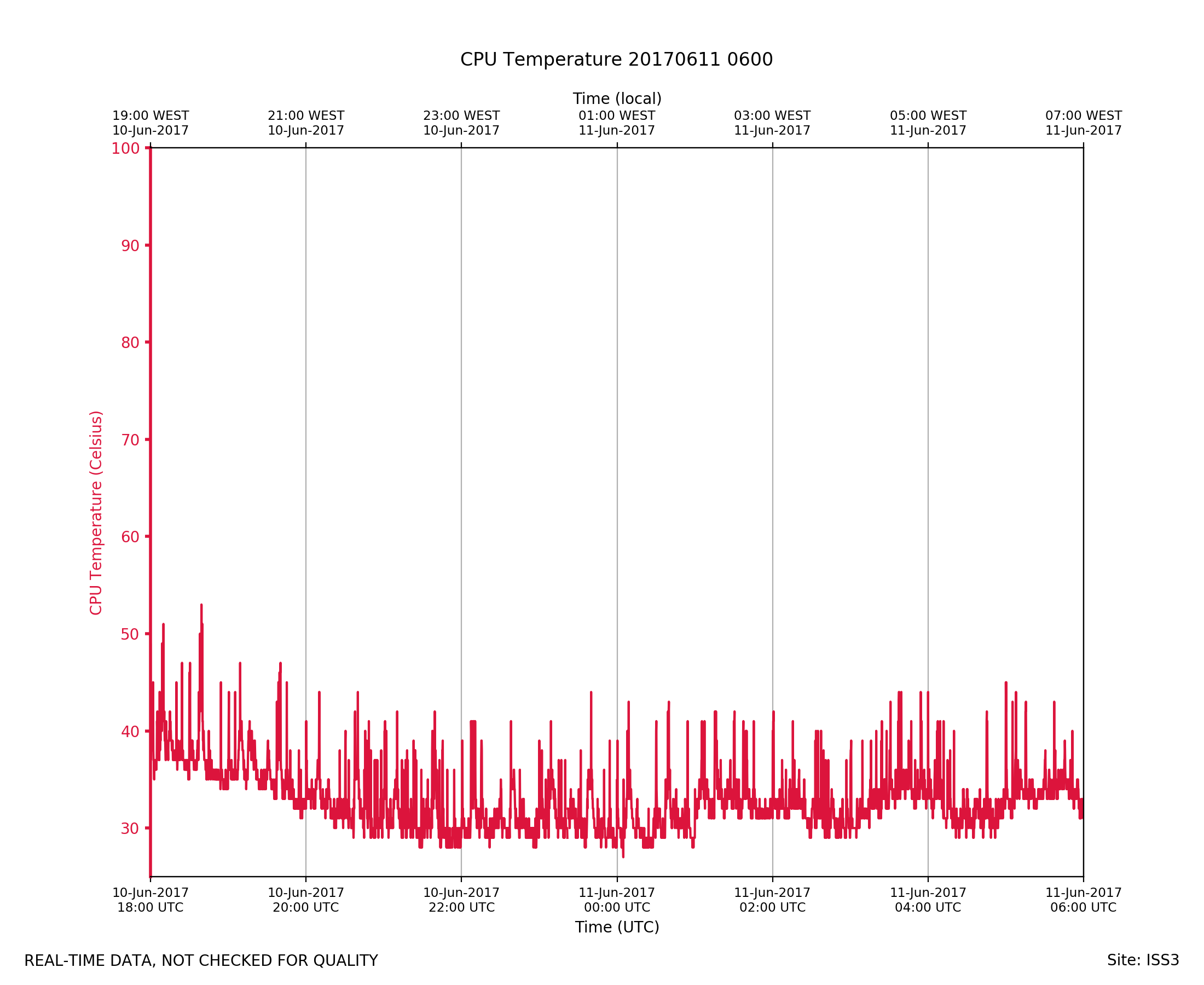
ISS3_Diagnostic.201706110600.Tc...
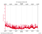
|
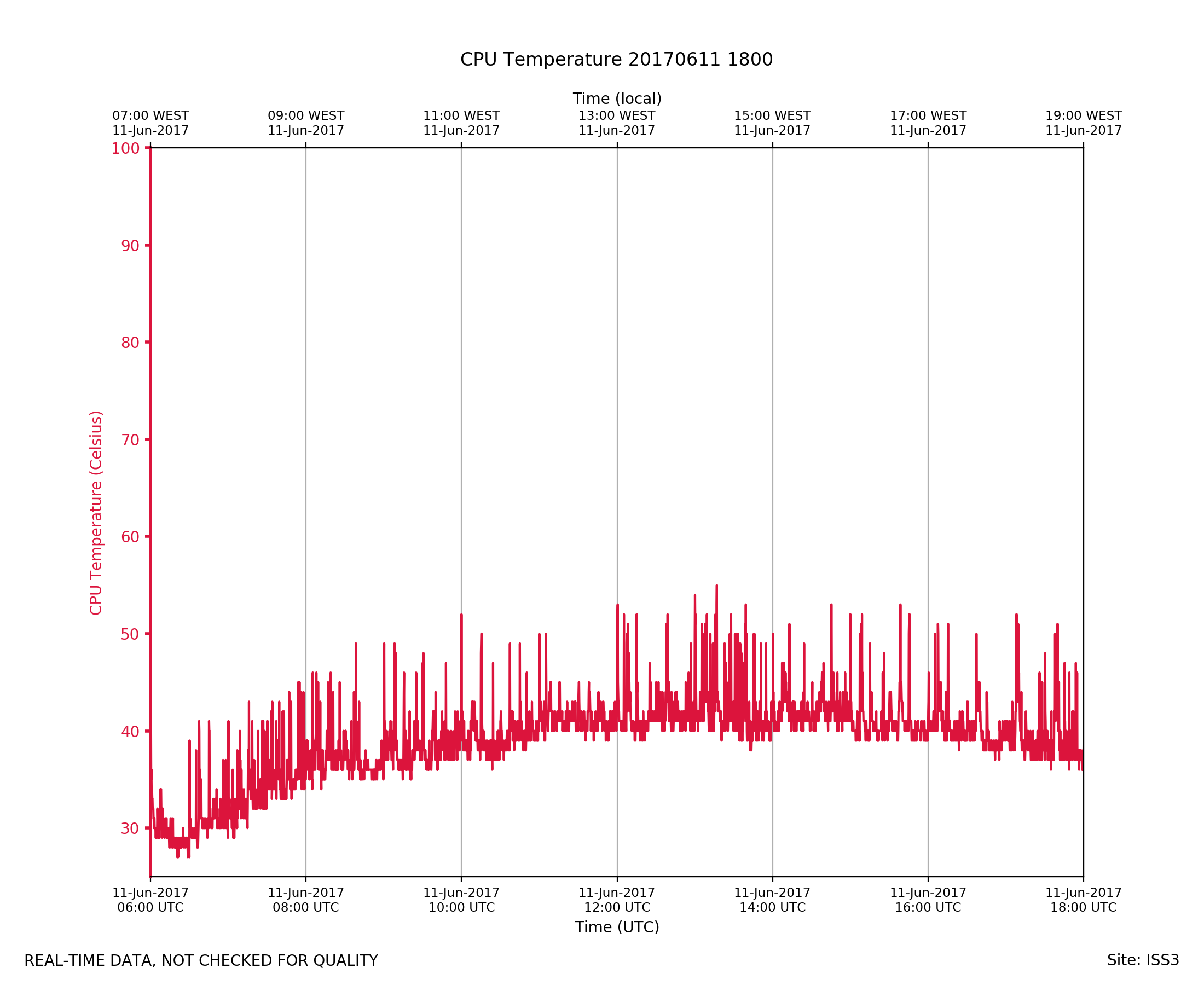
ISS3_Diagnostic.201706111800.Tc...
|
ISS3_Diagnostic.201706120600.Tc...
|
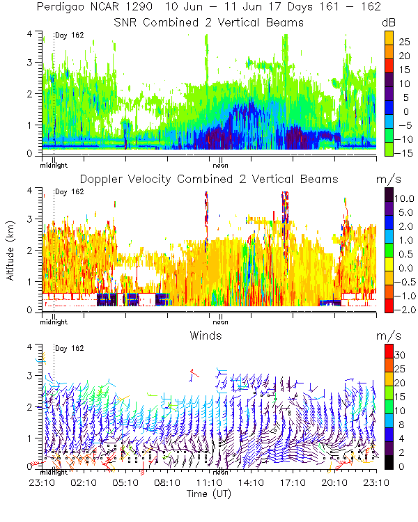
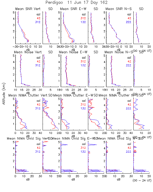
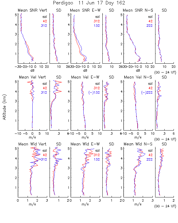
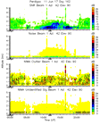
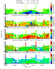
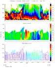
ISS3_Profiler.201706110000.mome...
|
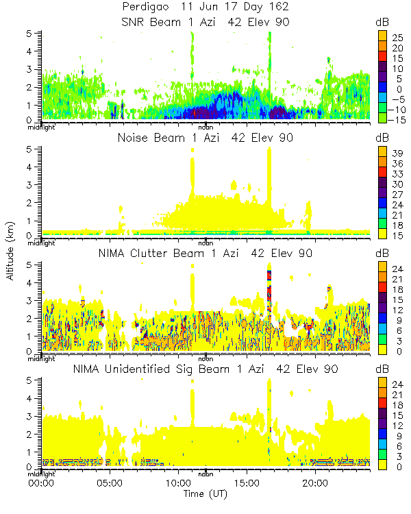
ISS3_Profiler.201706110000.nima...
|
ISS3_Profiler.201706110000.nima...
|
ISS3_Profiler.201706110000.nima...
|
ISS3_Profiler.201706110000.nima...
|
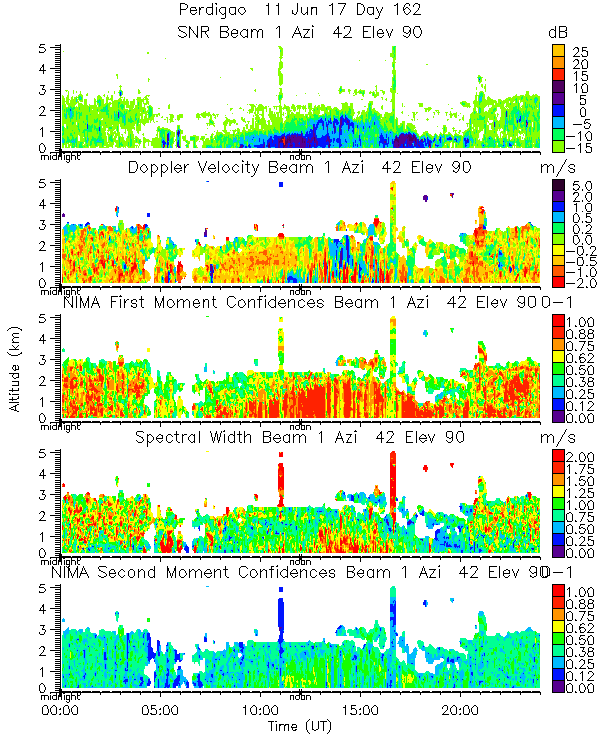
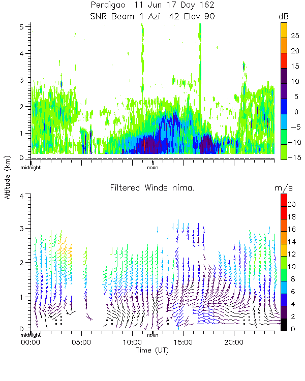
ISS3_Profiler.201706110000.snr_...
|
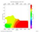
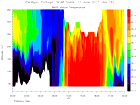
ISS3_Profiler.201706110600.rass
|
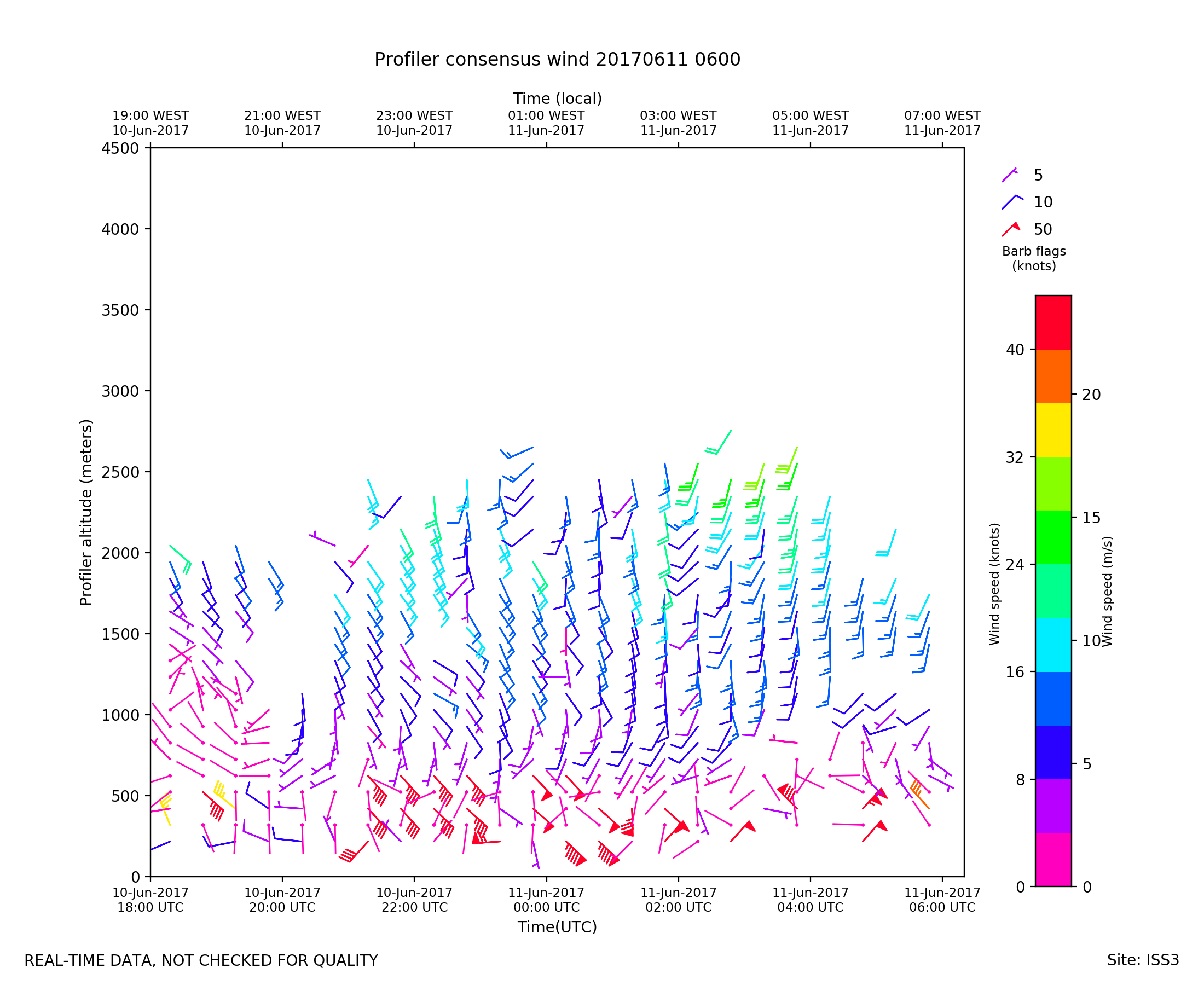
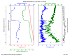
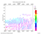
ISS3_Profiler.201706110600.wind...
|
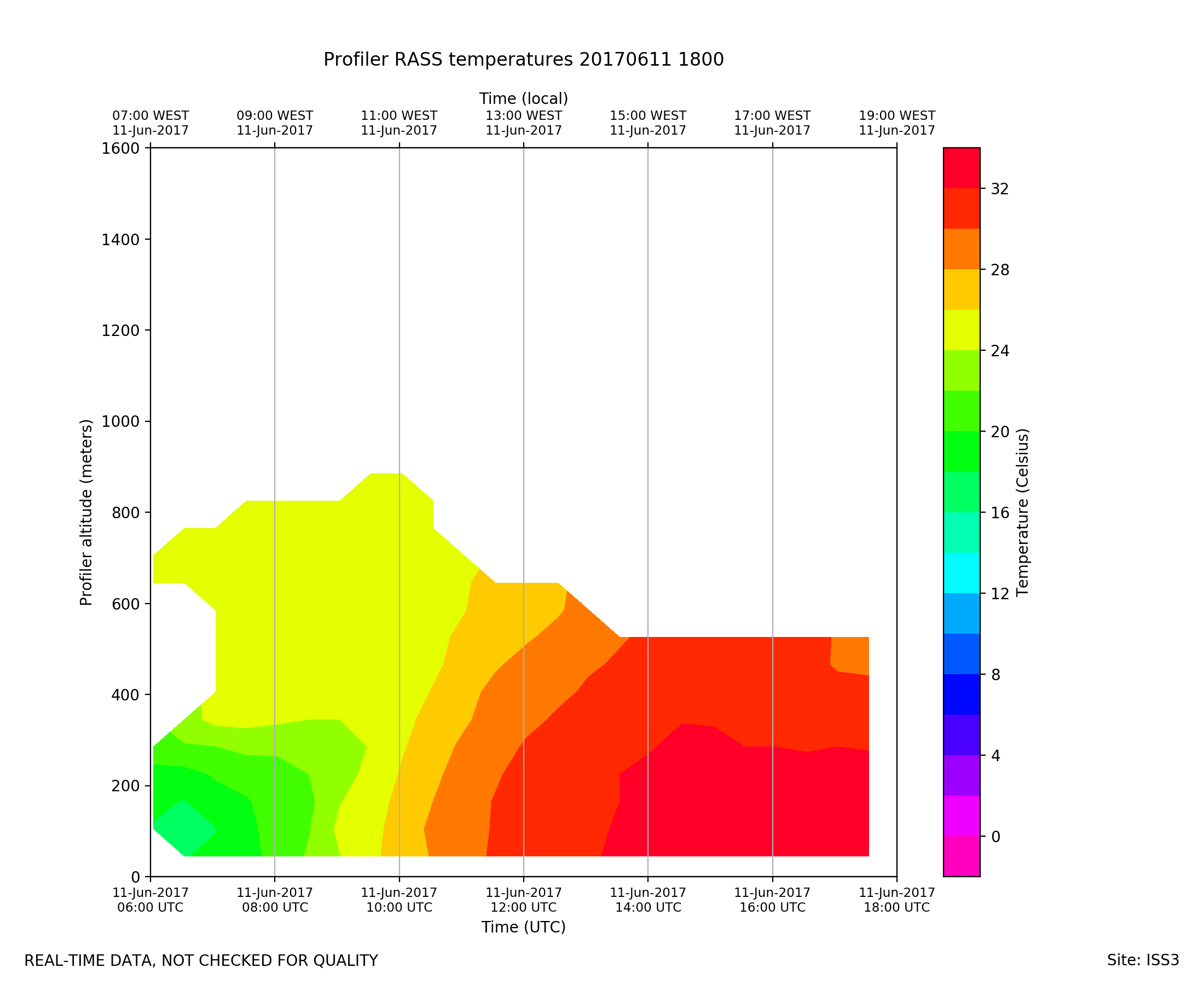
ISS3_Profiler.201706111800.rass
|
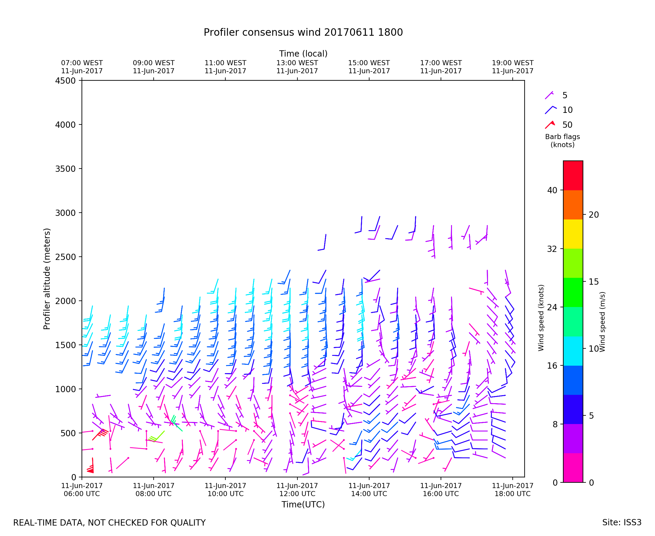
ISS3_Profiler.201706111800.wind...
|
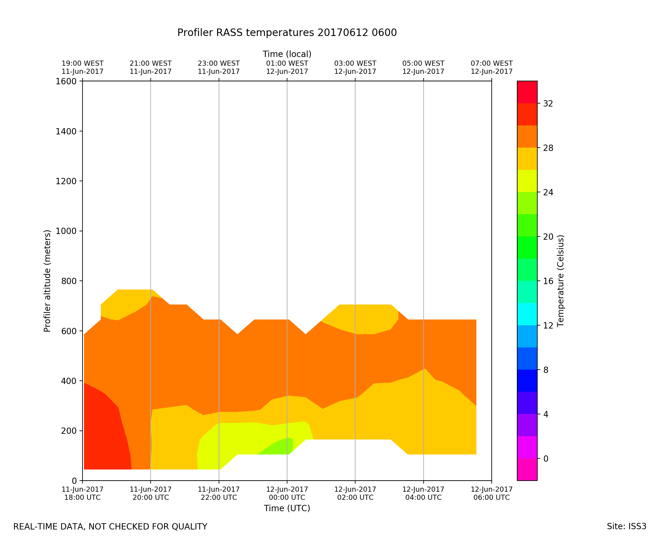
ISS3_Profiler.201706120600.rass
|
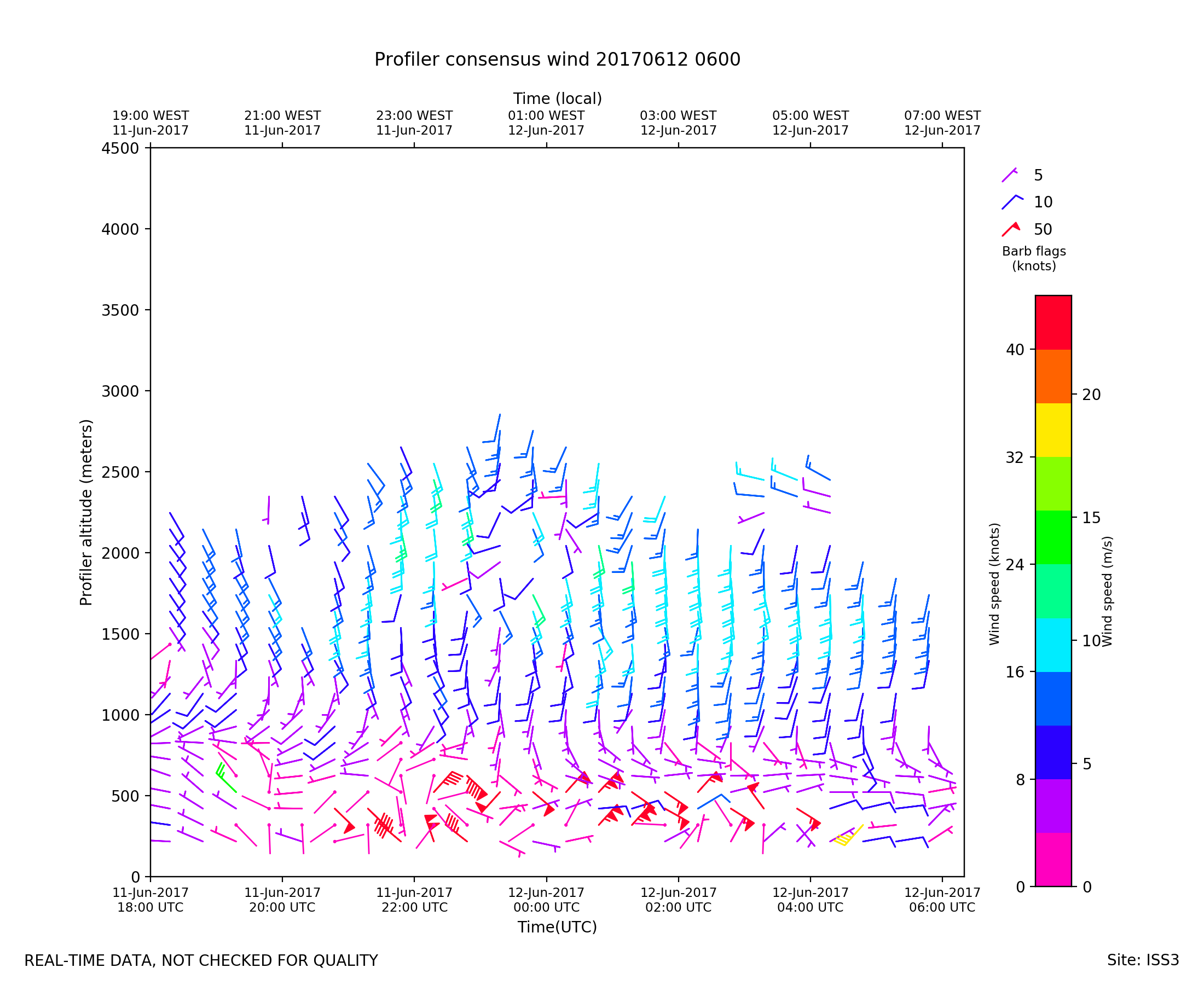
ISS3_Profiler.201706120600.wind...
|
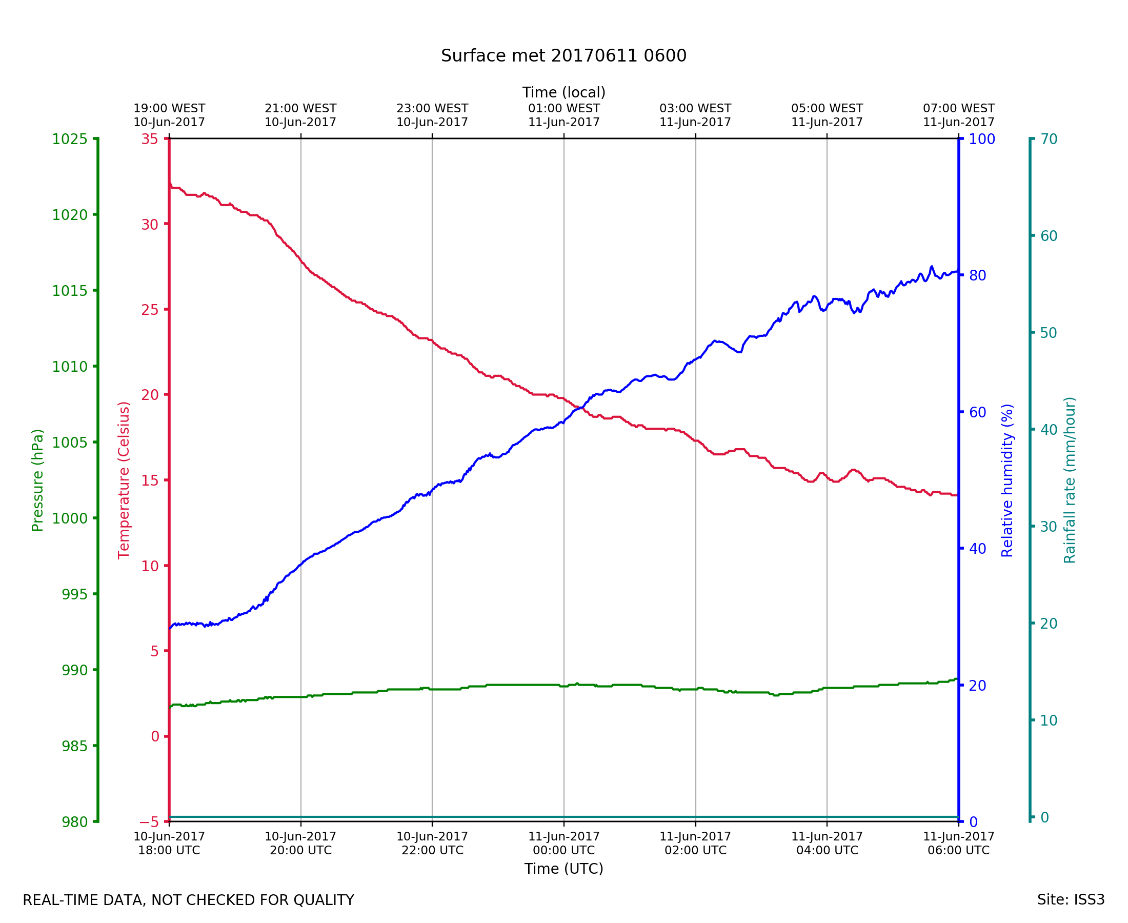
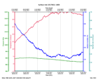
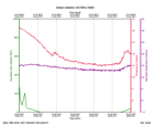
ISS3_Surface.201706110600.pth
|
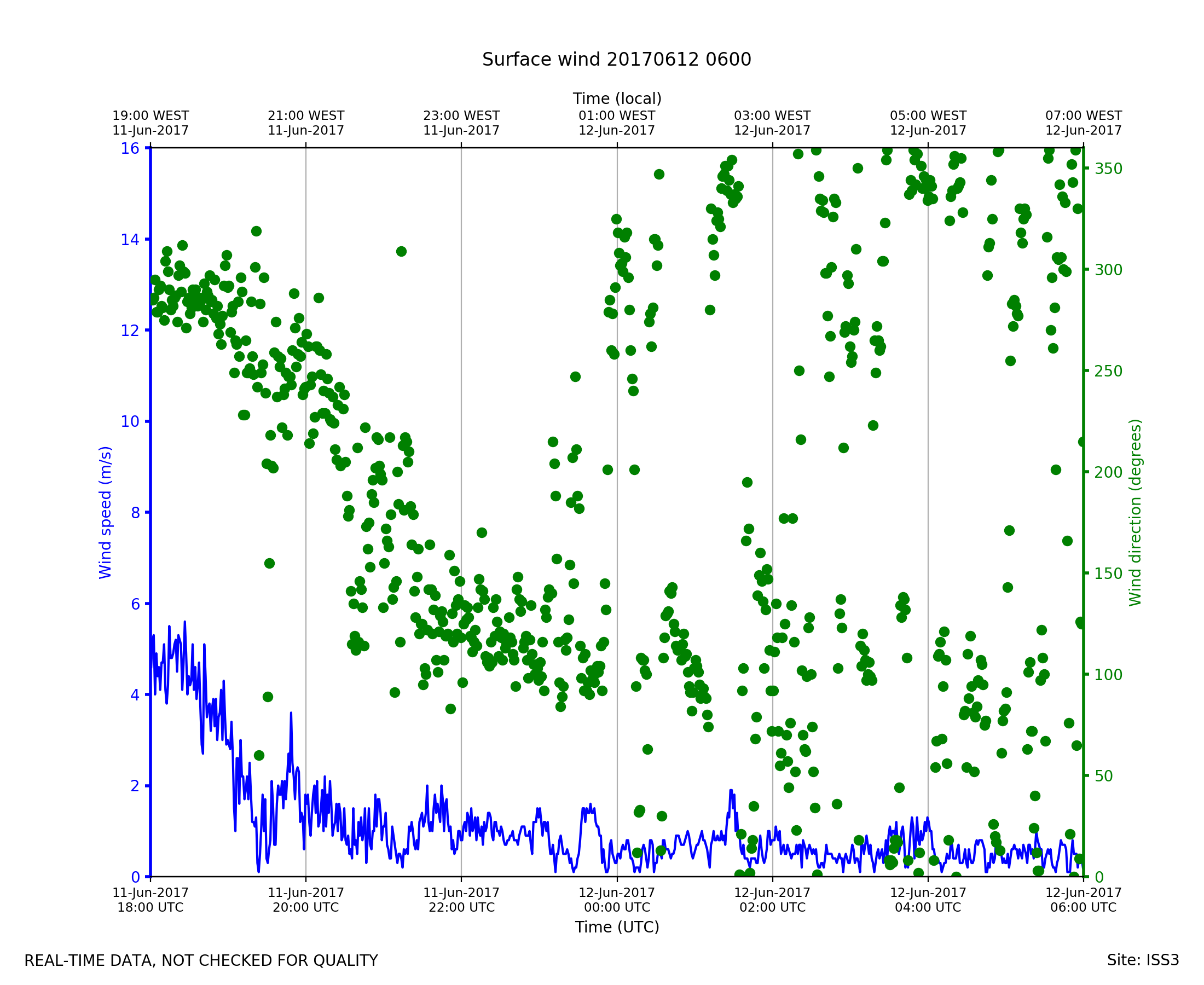
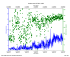
ISS3_Surface.201706110600.wind
|
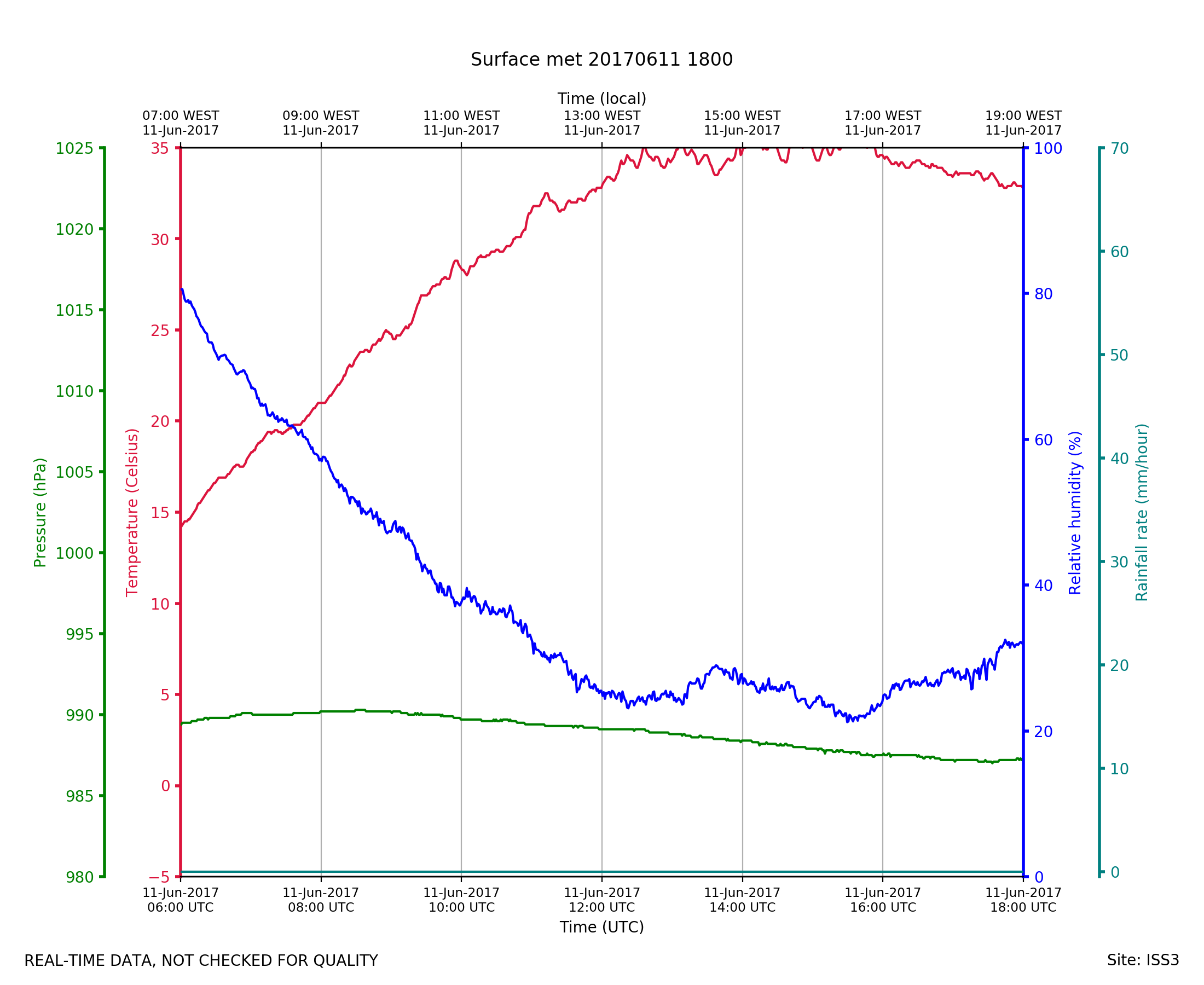
ISS3_Surface.201706111800.pth
|
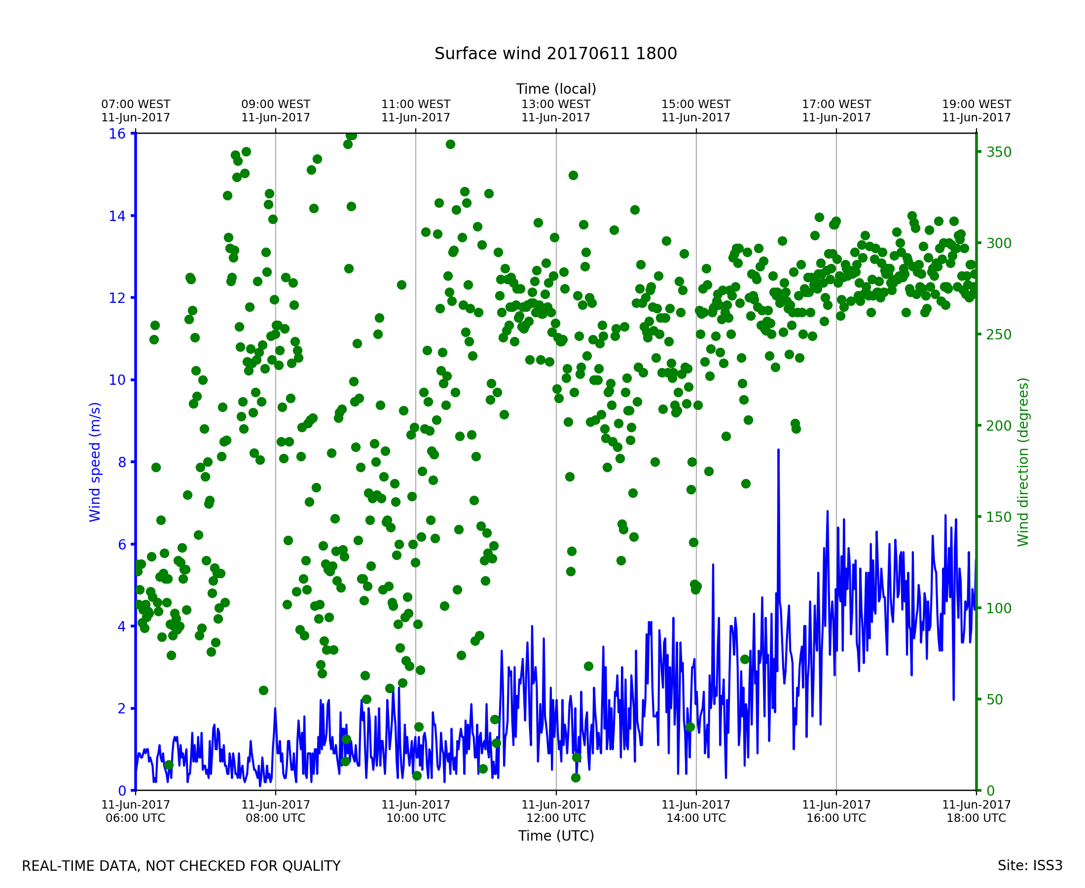
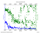
ISS3_Surface.201706111800.wind
|
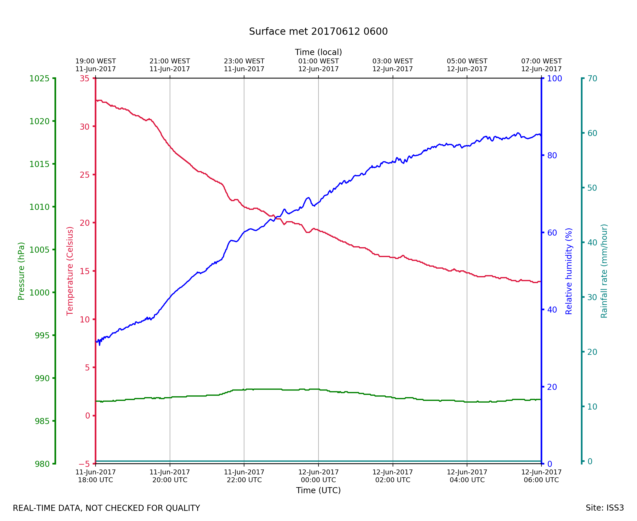
ISS3_Surface.201706120600.pth

|
ISS3_Surface.201706120600.wind
|
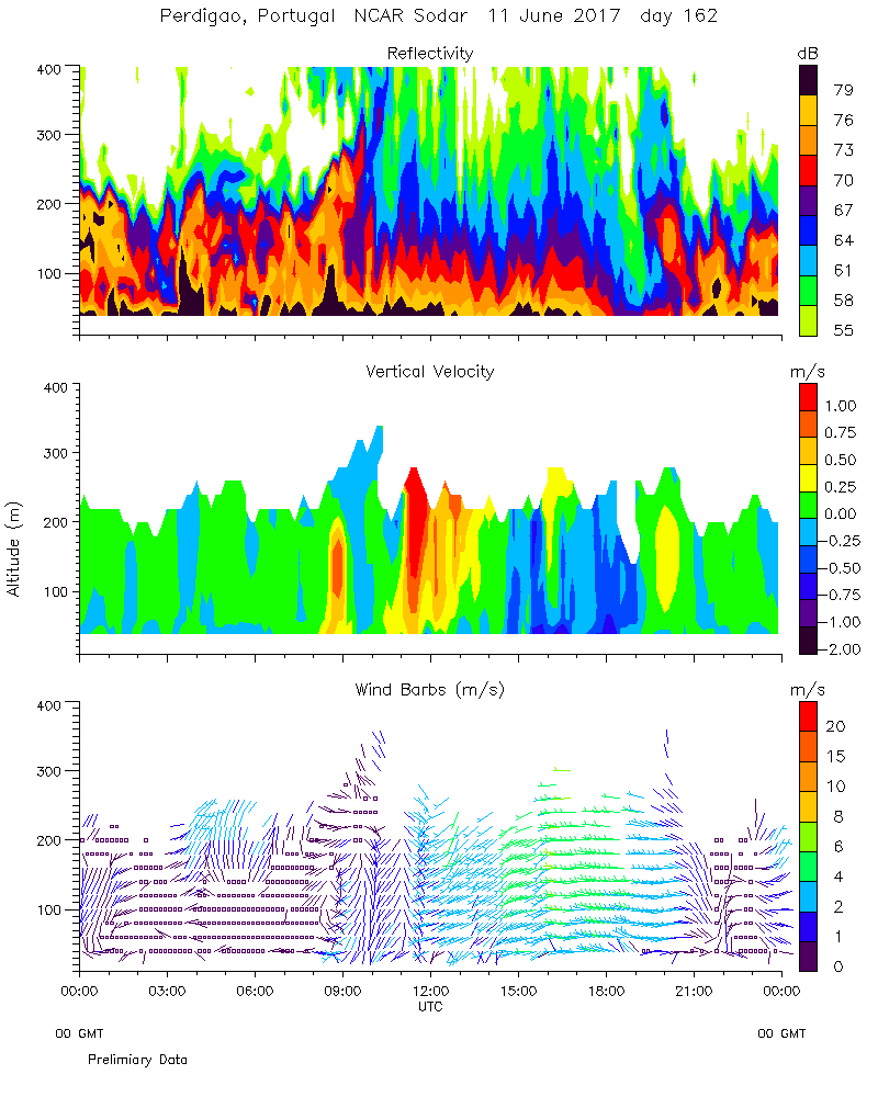
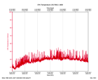
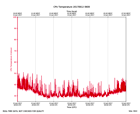
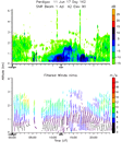
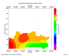
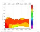
Sodar.2017061100.rass_temperatu...
|
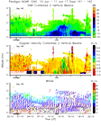
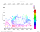
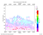
Sodar.2017061100.wind_reflectiv...
|
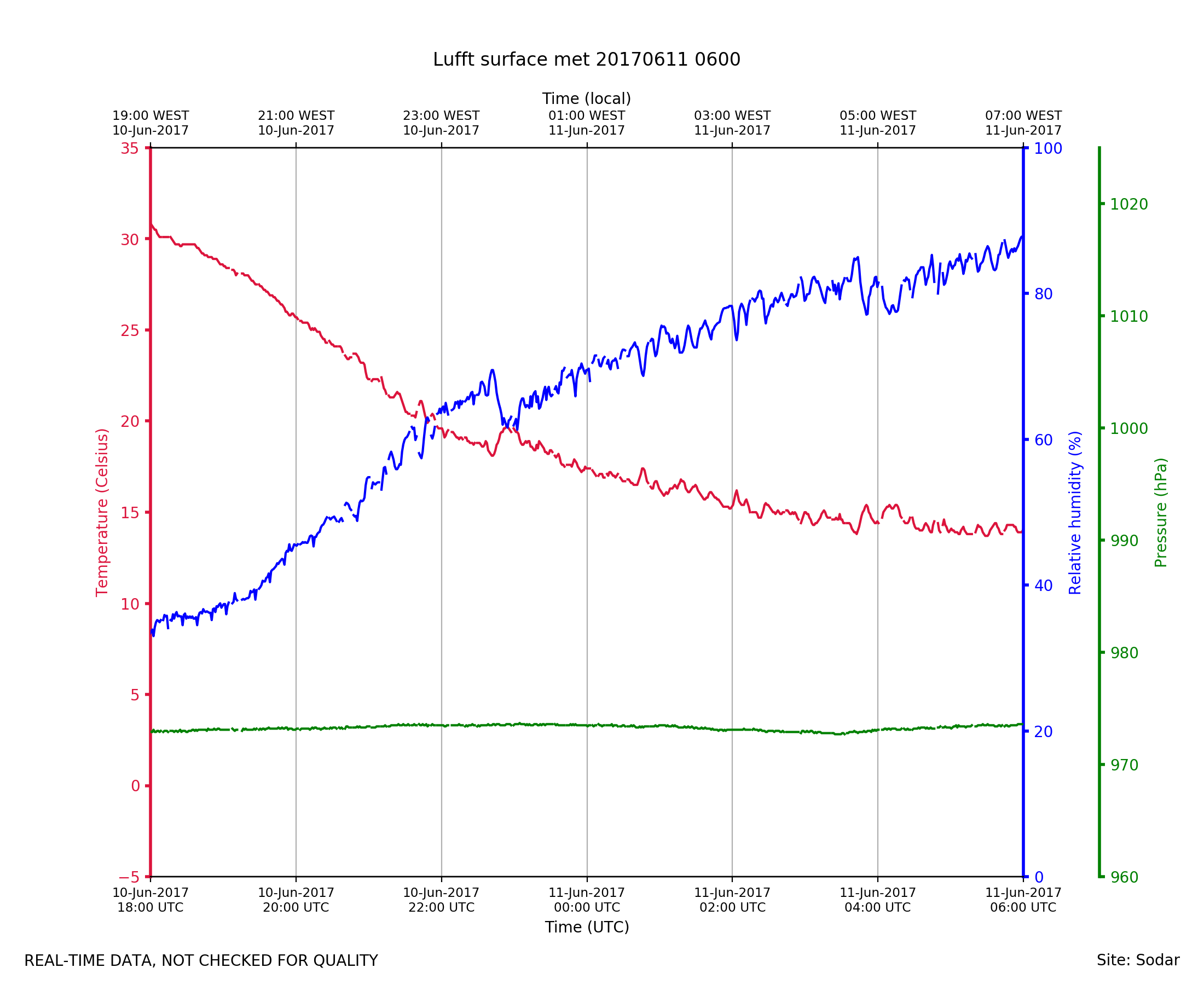
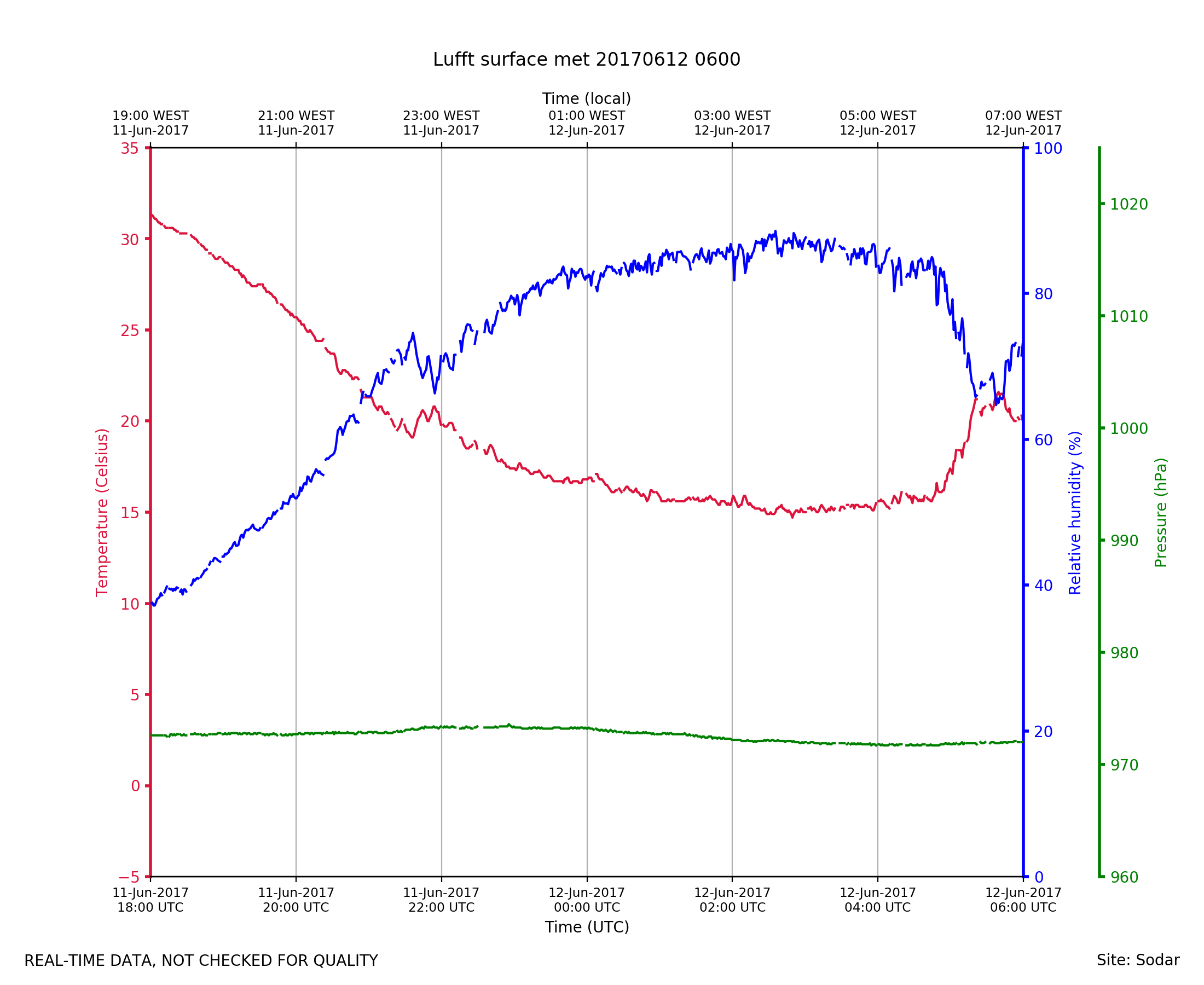
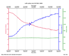
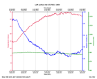
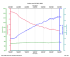
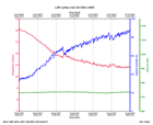
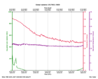
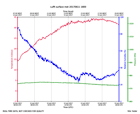
Sodar_Lufft.201706110600.pth
|
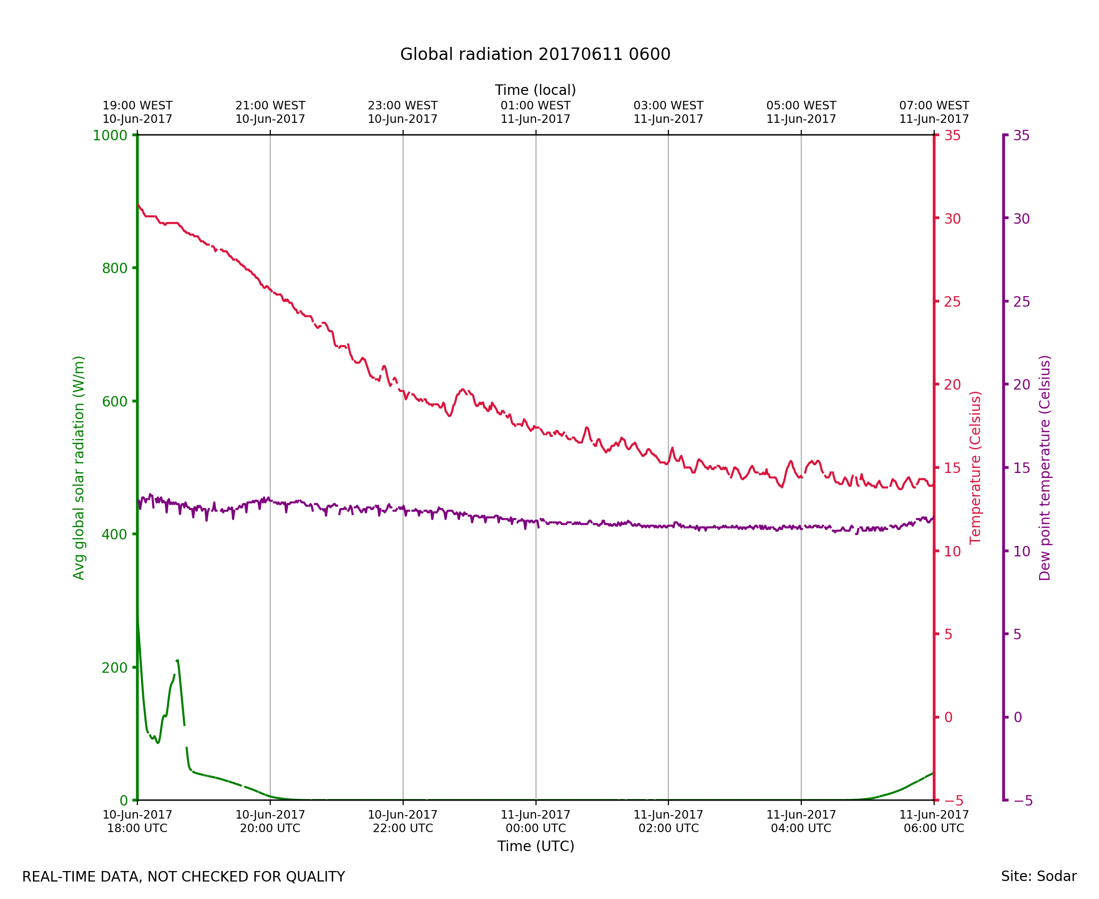
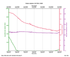
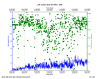
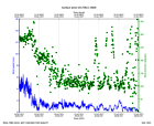
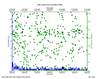
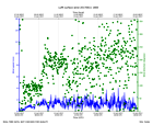
Sodar_Lufft.201706110600.radiat...
|
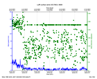
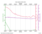
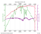
Sodar_Lufft.201706110600.wind
|
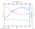
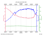
Sodar_Lufft.201706111800.pth
|
Sodar_Lufft.201706111800.radiat...
|
Sodar_Lufft.201706111800.wind
|
Sodar_Lufft.201706120600.pth
|
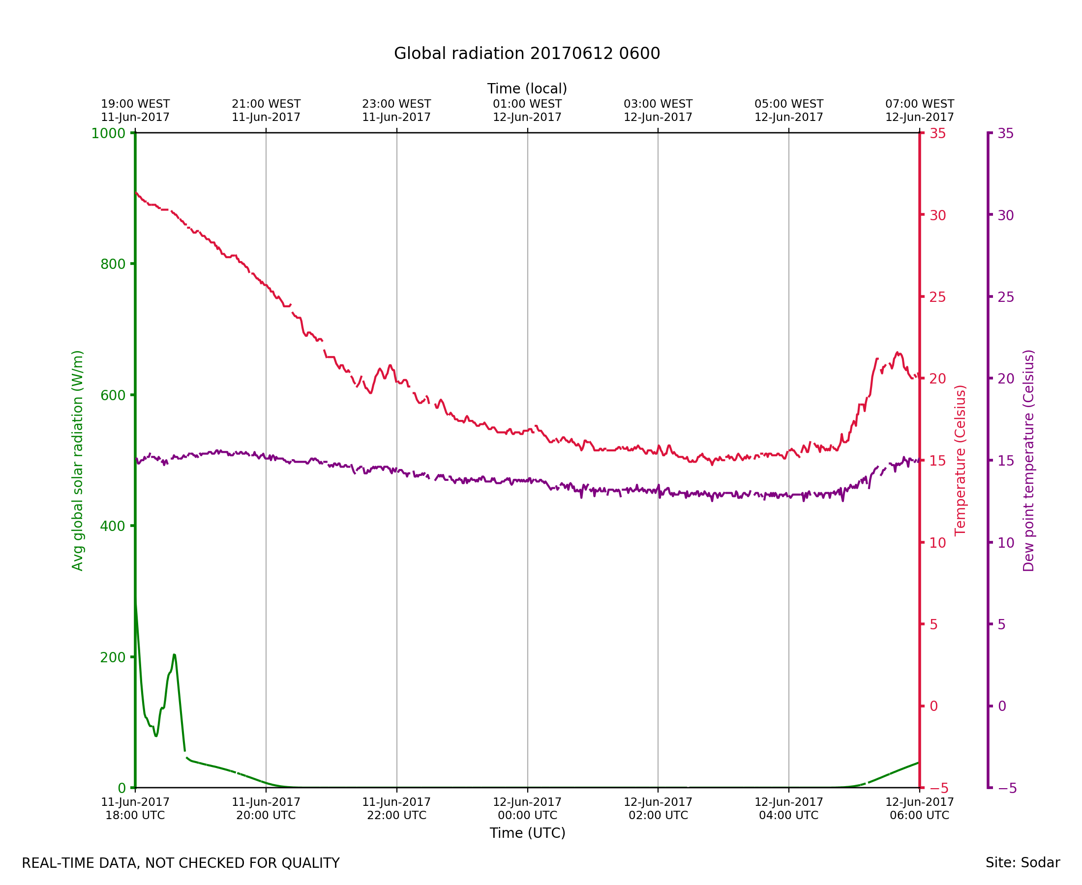
Sodar_Lufft.201706120600.radiat...
|
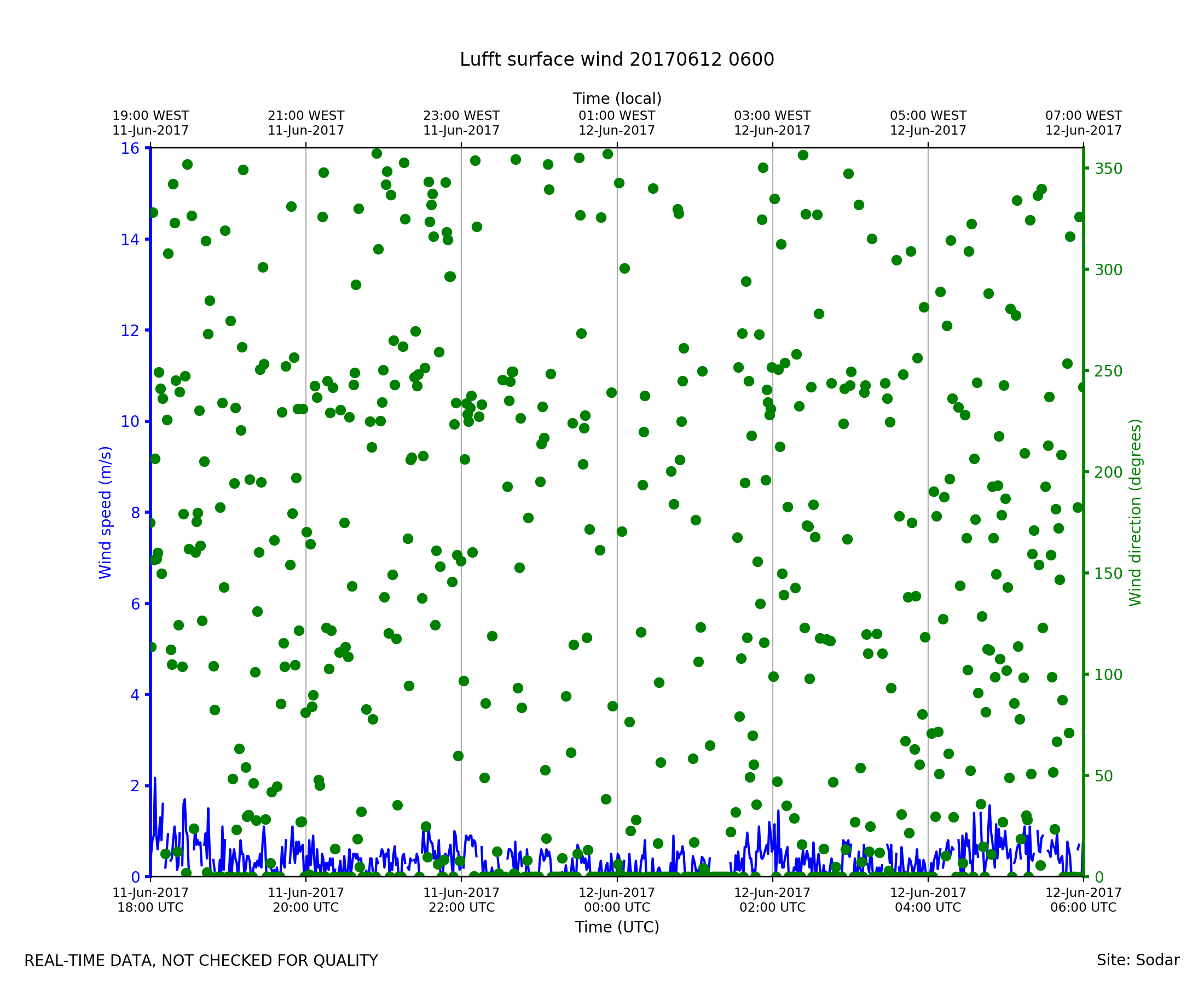
Sodar_Lufft.201706120600.wind
|