Click on the thumbnail image to view the full-size image.
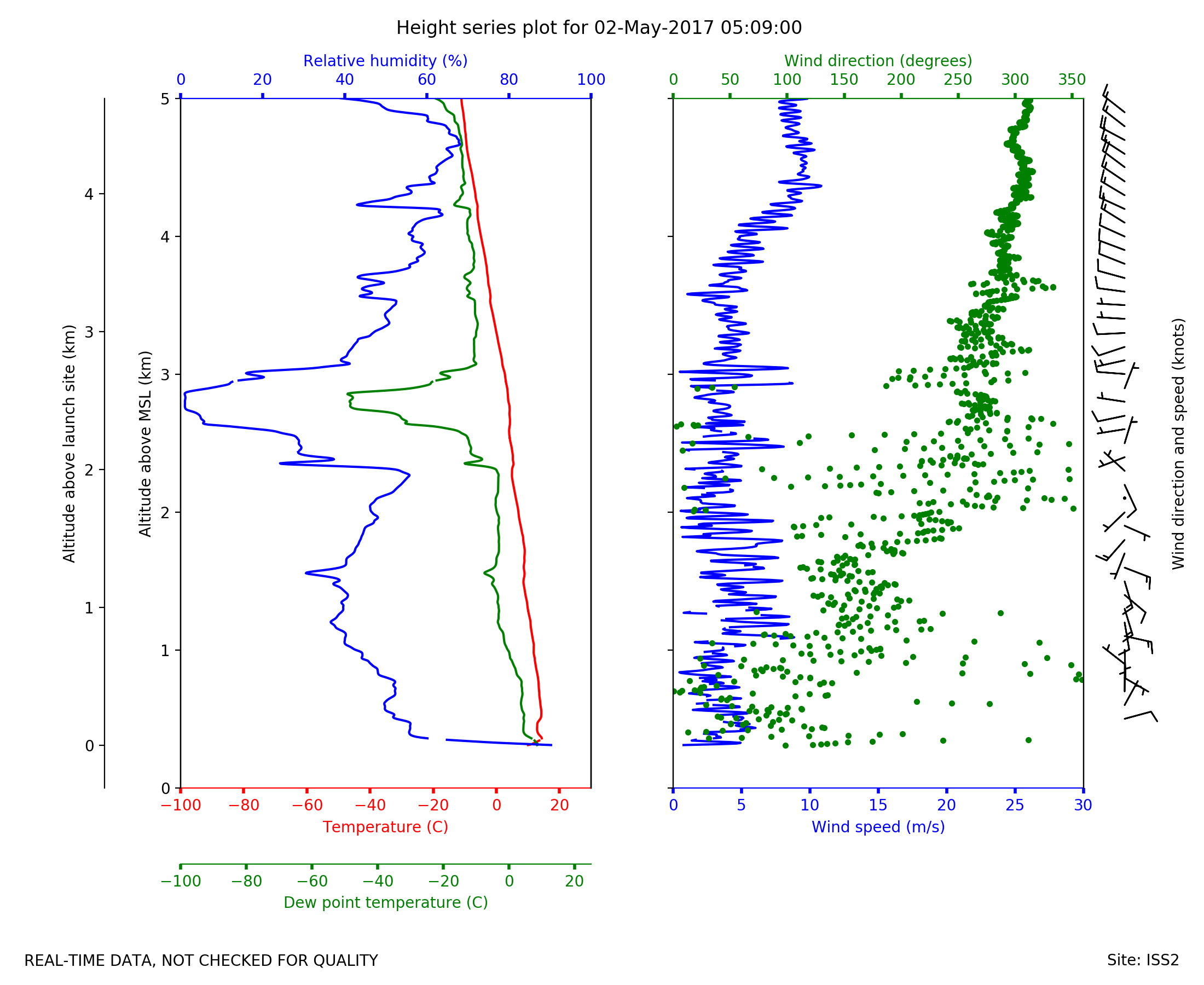
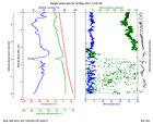
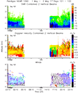
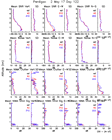
ISS2_Sonde.201705020509.height_...
|
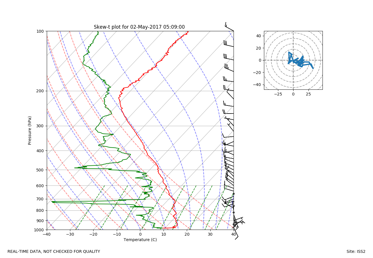
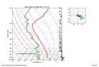
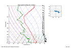
ISS2_Sonde.201705020509.skewT
|
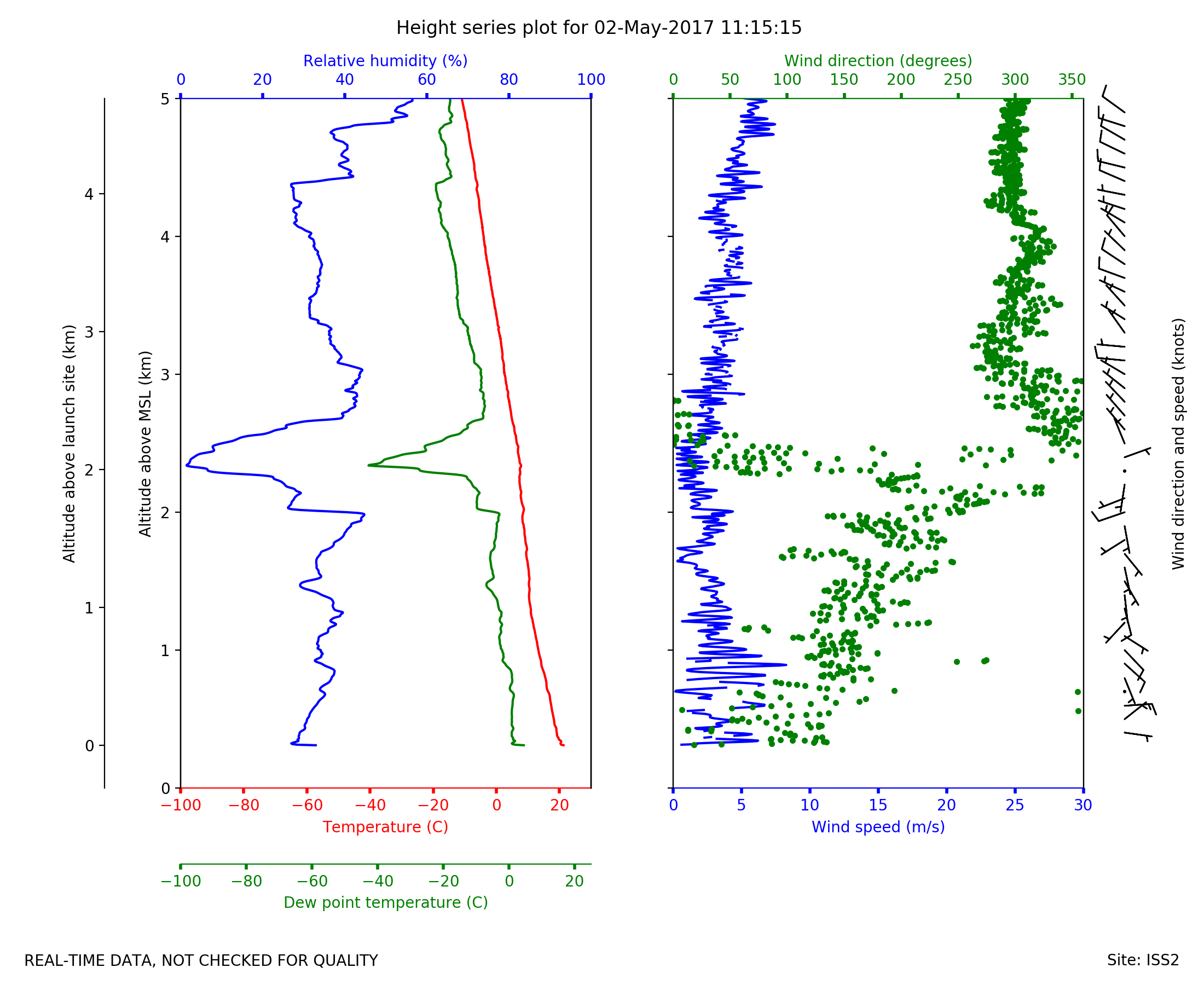
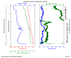
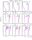
ISS2_Sonde.201705021115.height_...
|
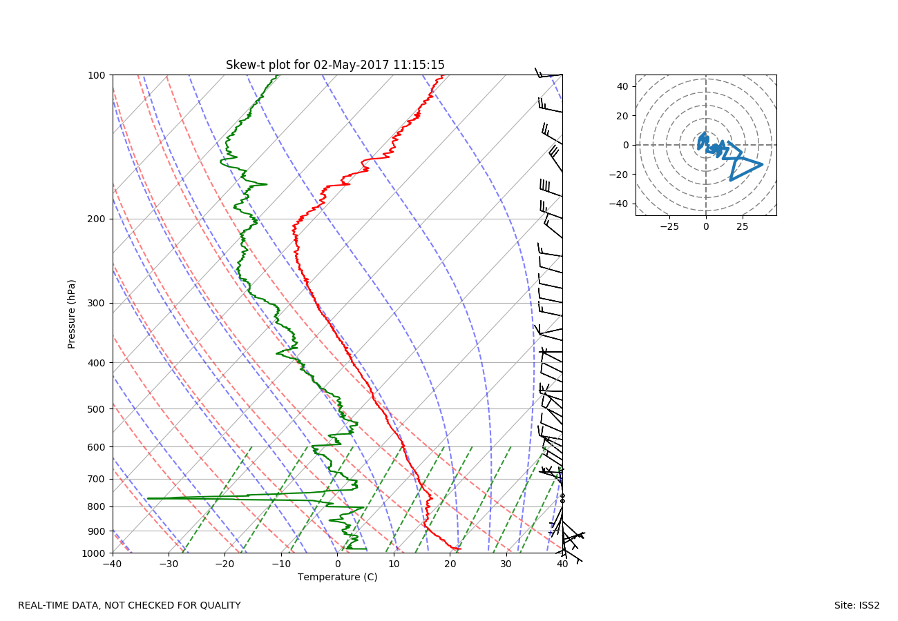
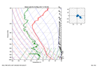
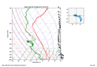
ISS2_Sonde.201705021115.skewT
|
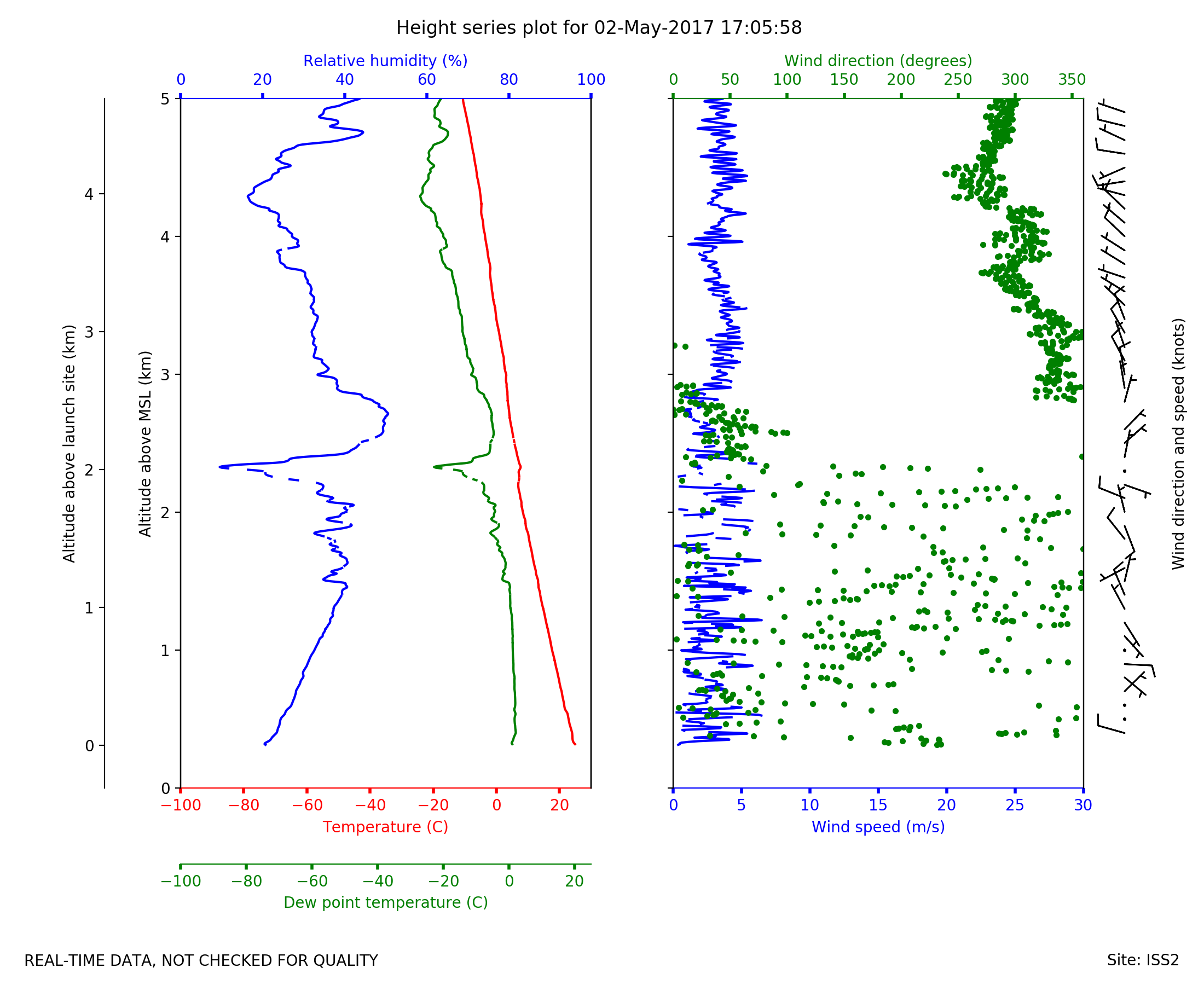
ISS2_Sonde.201705021705.height_...
|
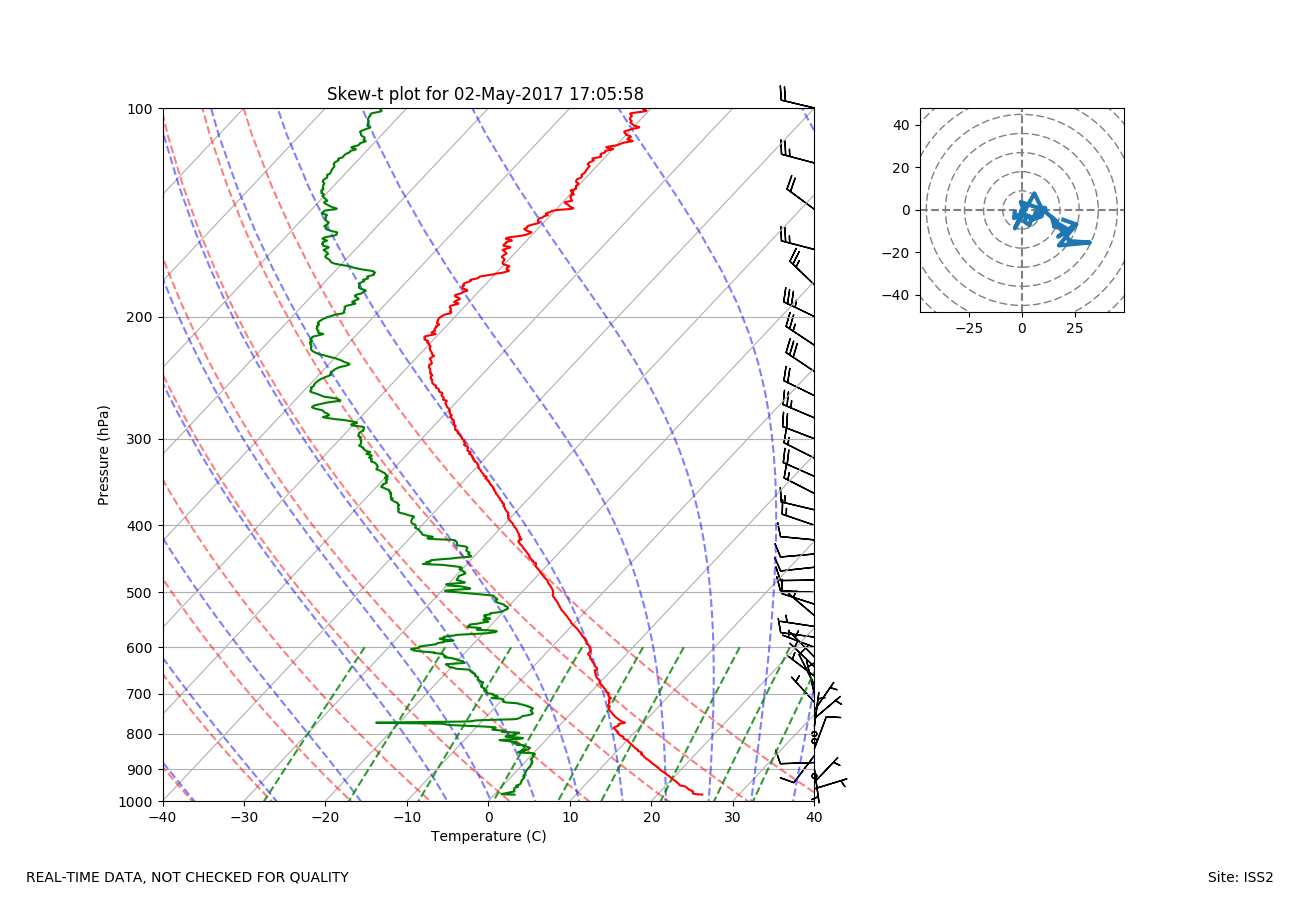
ISS2_Sonde.201705021705.skewT
|
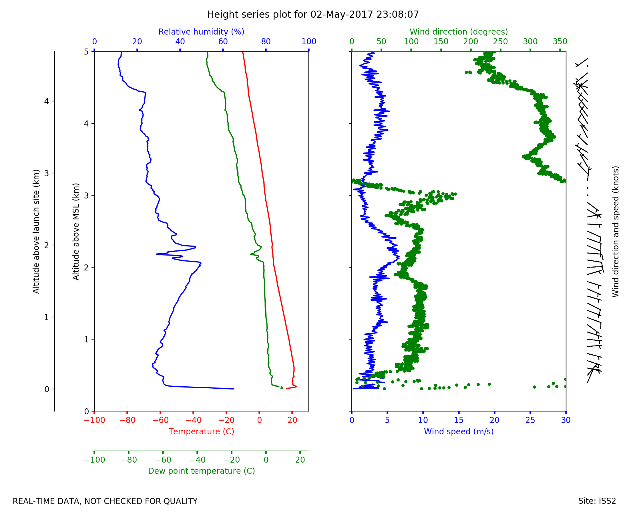
ISS2_Sonde.201705022308.height_...
|
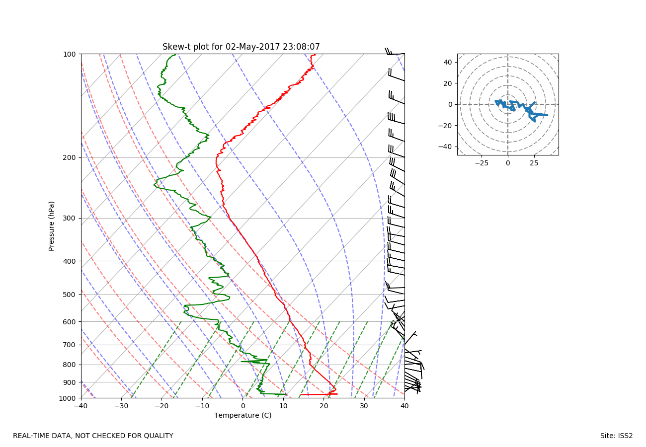
ISS2_Sonde.201705022308.skewT
|
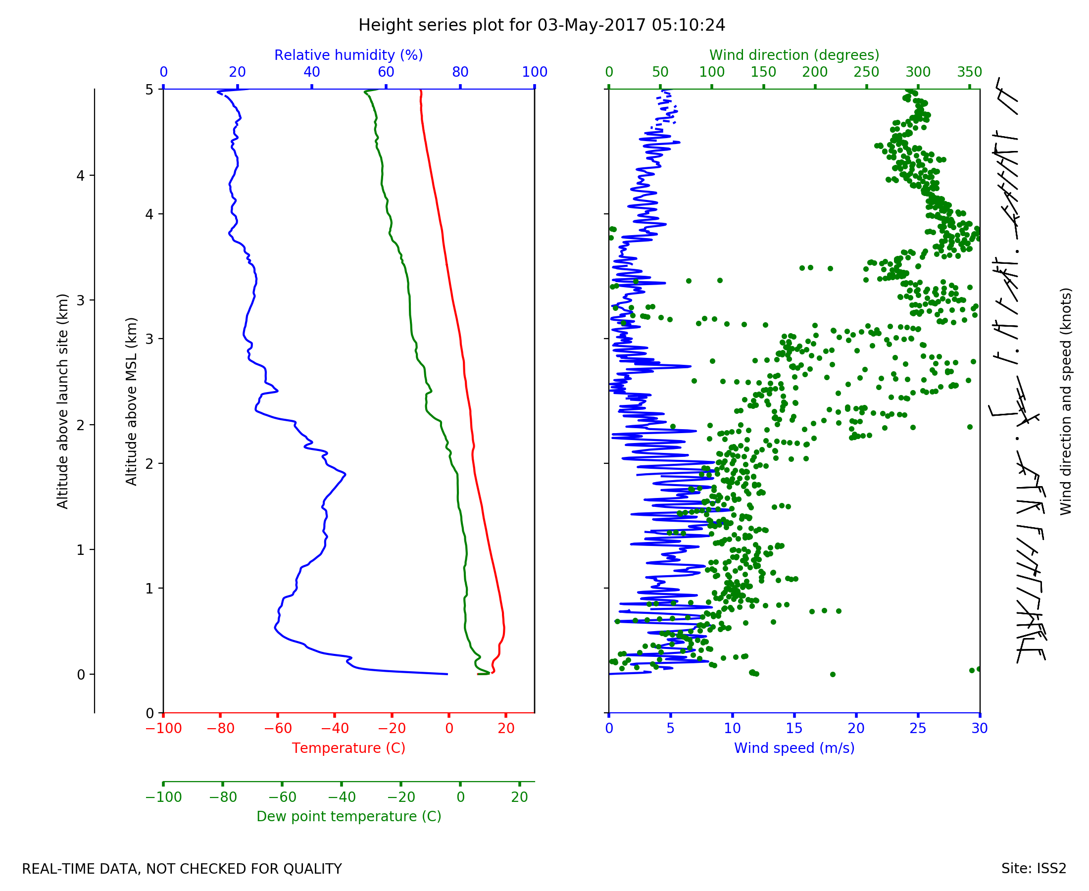
ISS2_Sonde.201705030510.height_...

|
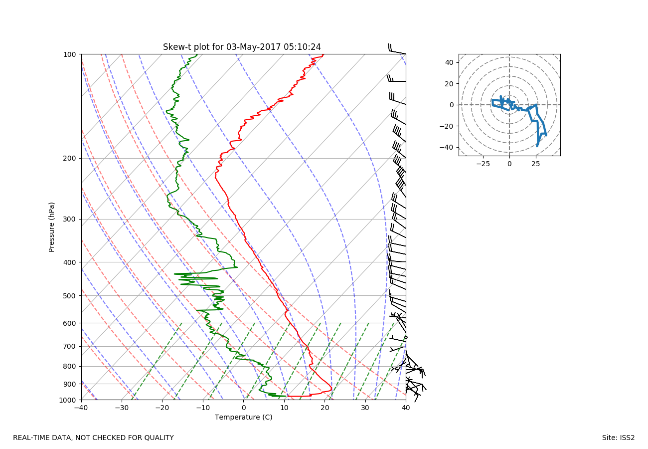
ISS2_Sonde.201705030510.skewT
|
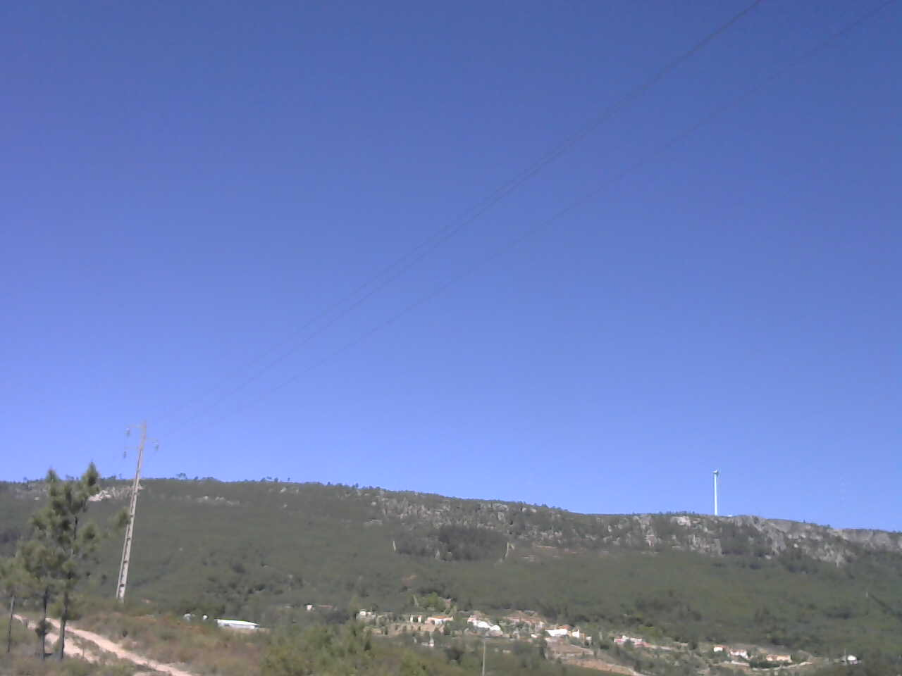
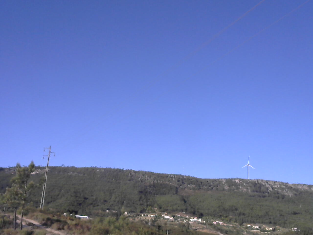
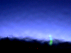
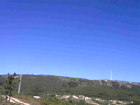
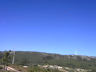
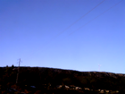
ISS3_Camera.201705020500.photo
|
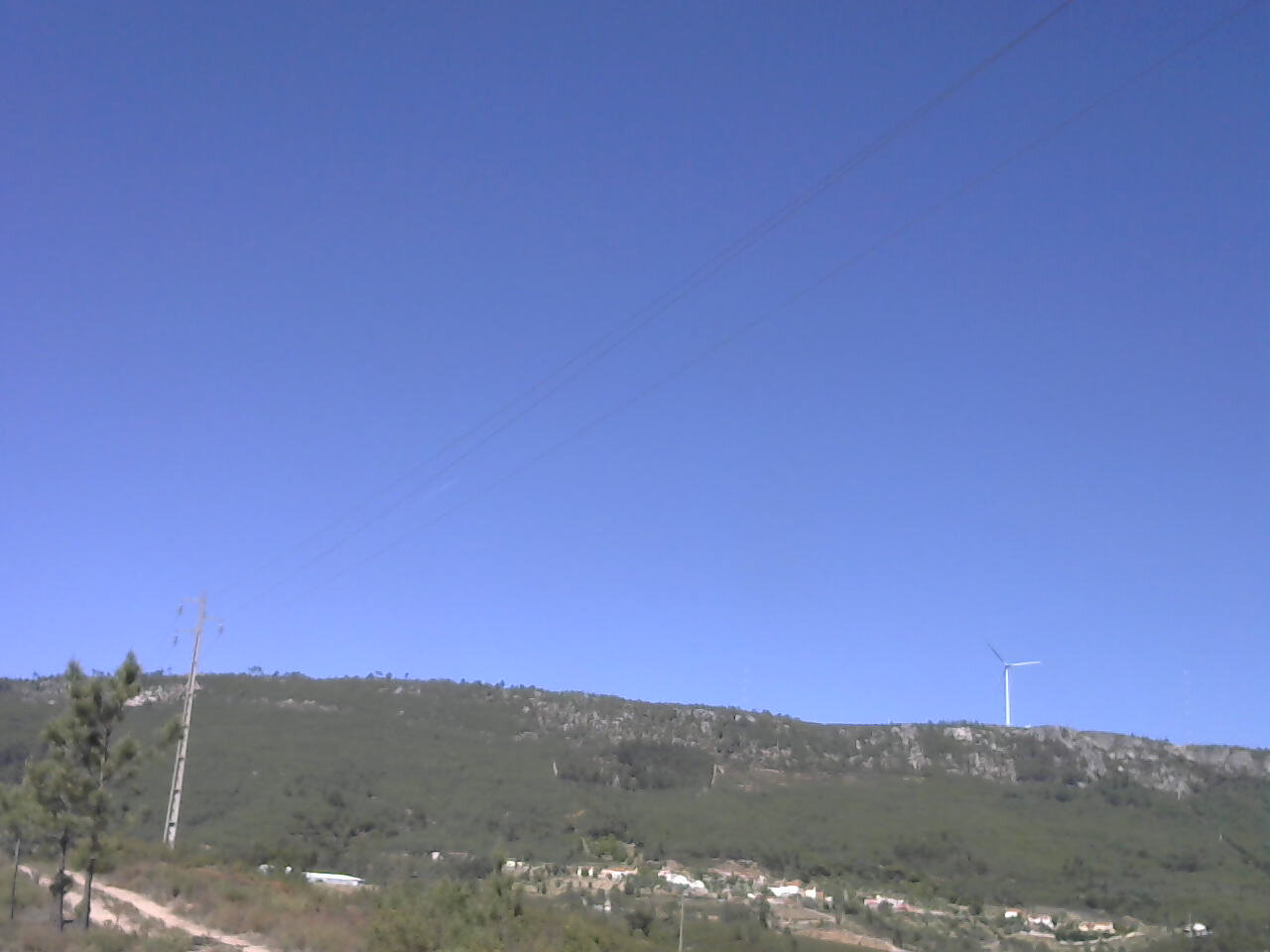
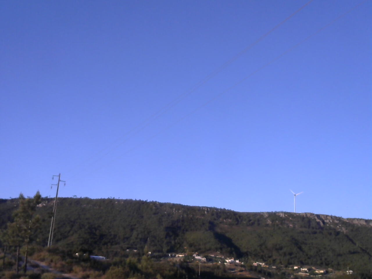
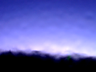
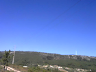
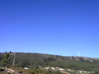
ISS3_Camera.201705020510.photo
|
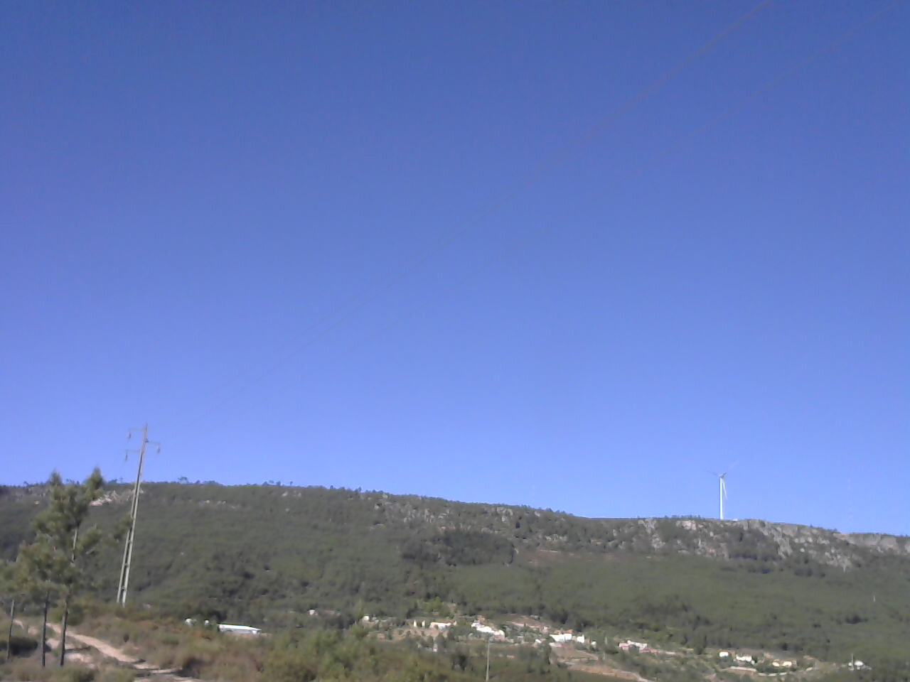
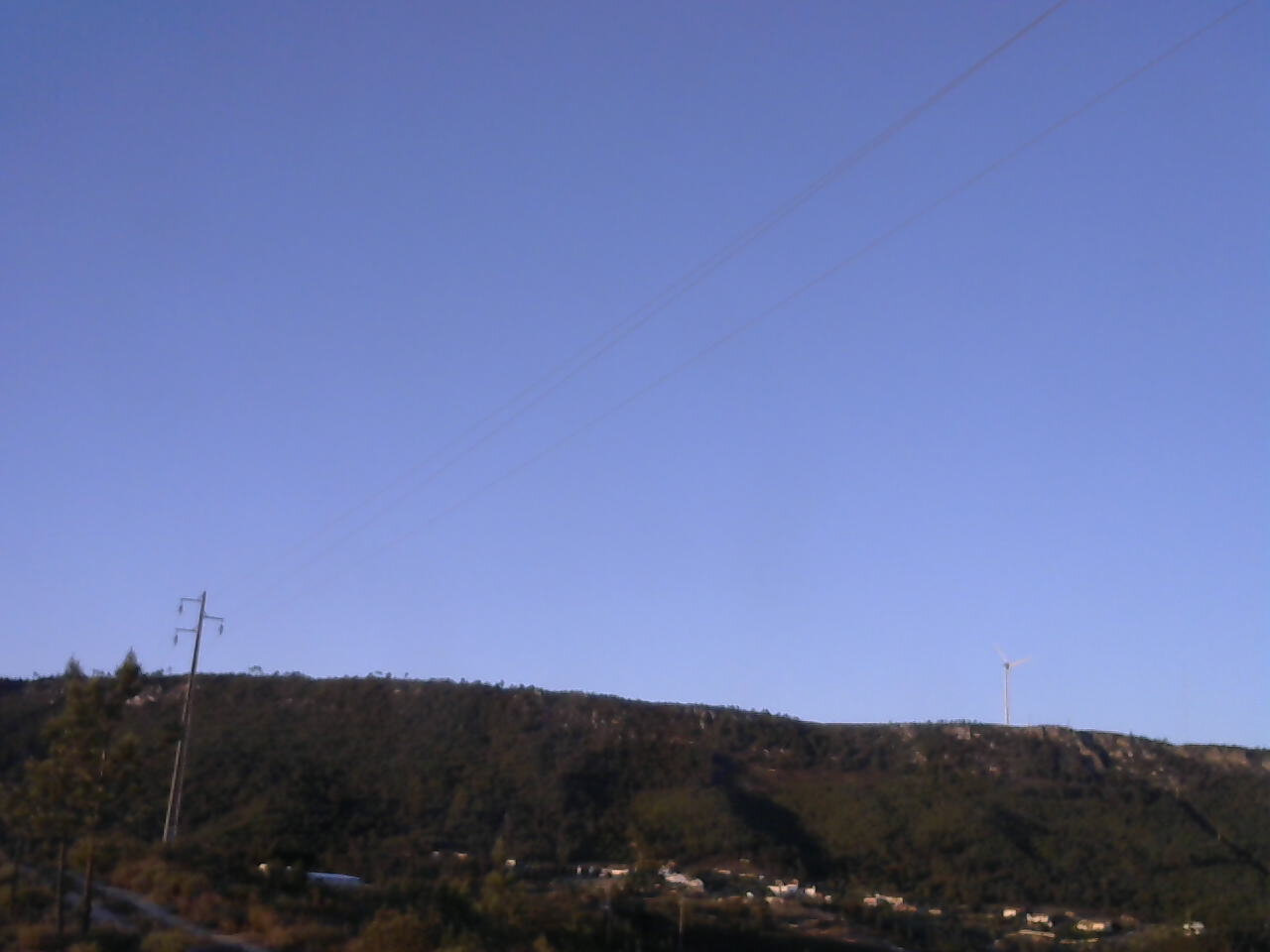
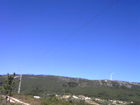
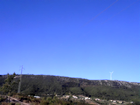
ISS3_Camera.201705021450.photo
|
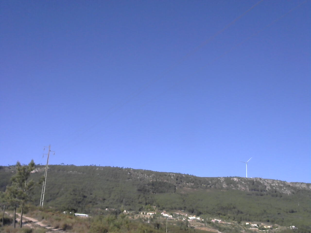
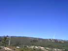
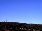
ISS3_Camera.201705021500.photo
|
ISS3_Camera.201705021510.photo
|
ISS3_Camera.201705021600.photo
|
ISS3_Camera.201705021610.photo
|
ISS3_Camera.201705021700.photo
|
ISS3_Camera.201705021710.photo

|
ISS3_Camera.201705021800.photo

|
ISS3_Camera.201705021810.photo
|
ISS3_Camera.201705021900.photo
|
ISS3_Camera.201705021910.photo
|
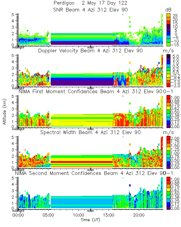
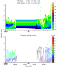
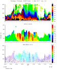
ISS3_Profiler.201705020000.mome...
|
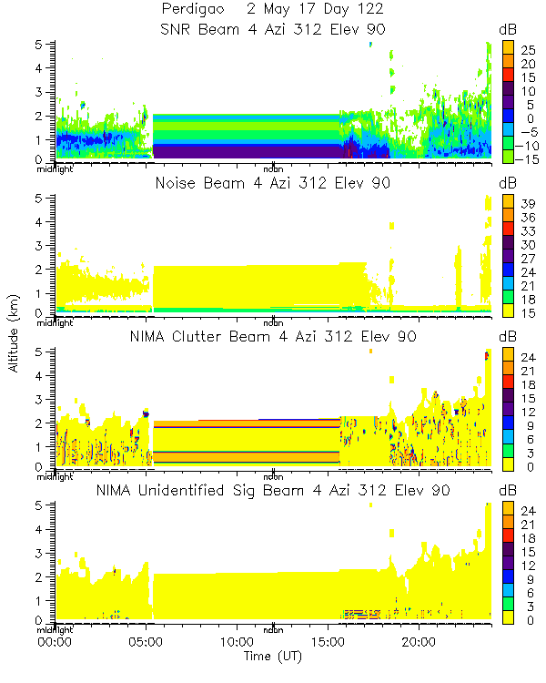
ISS3_Profiler.201705020000.nima...
|
ISS3_Profiler.201705020000.nima...
|
ISS3_Profiler.201705020000.nima...
|
ISS3_Profiler.201705020000.nima...
|
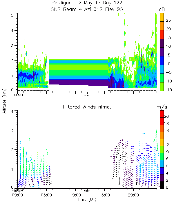
ISS3_Profiler.201705020000.snr_...
|
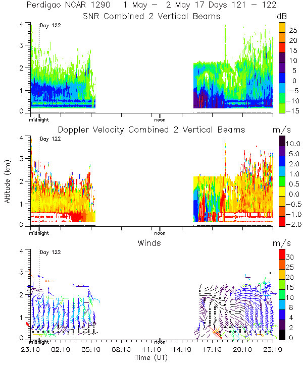
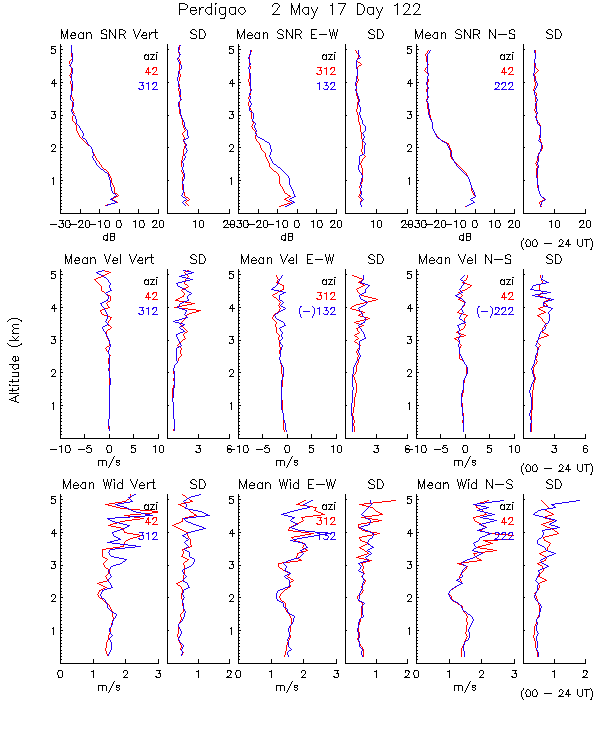
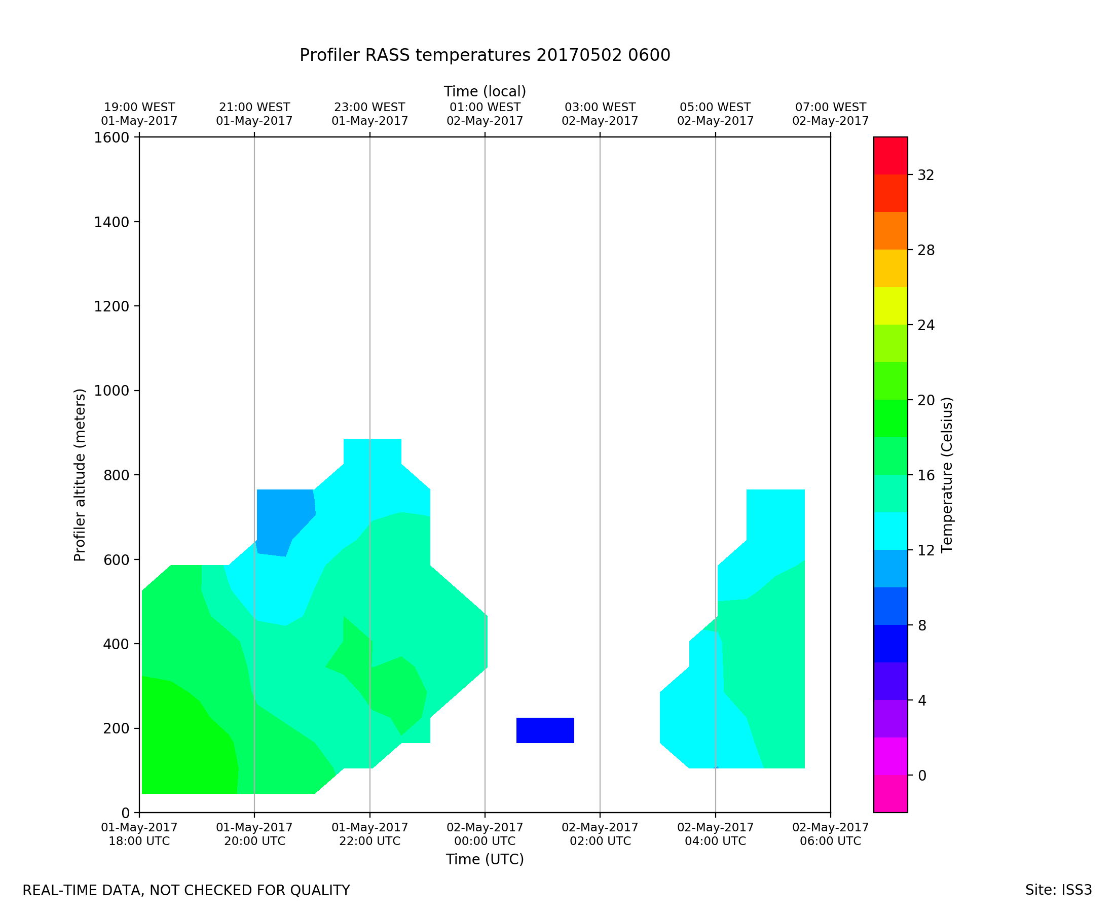
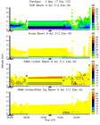
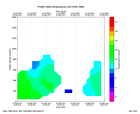
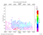
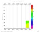
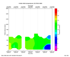
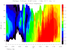
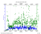
ISS3_Profiler.201705020600.rass
|
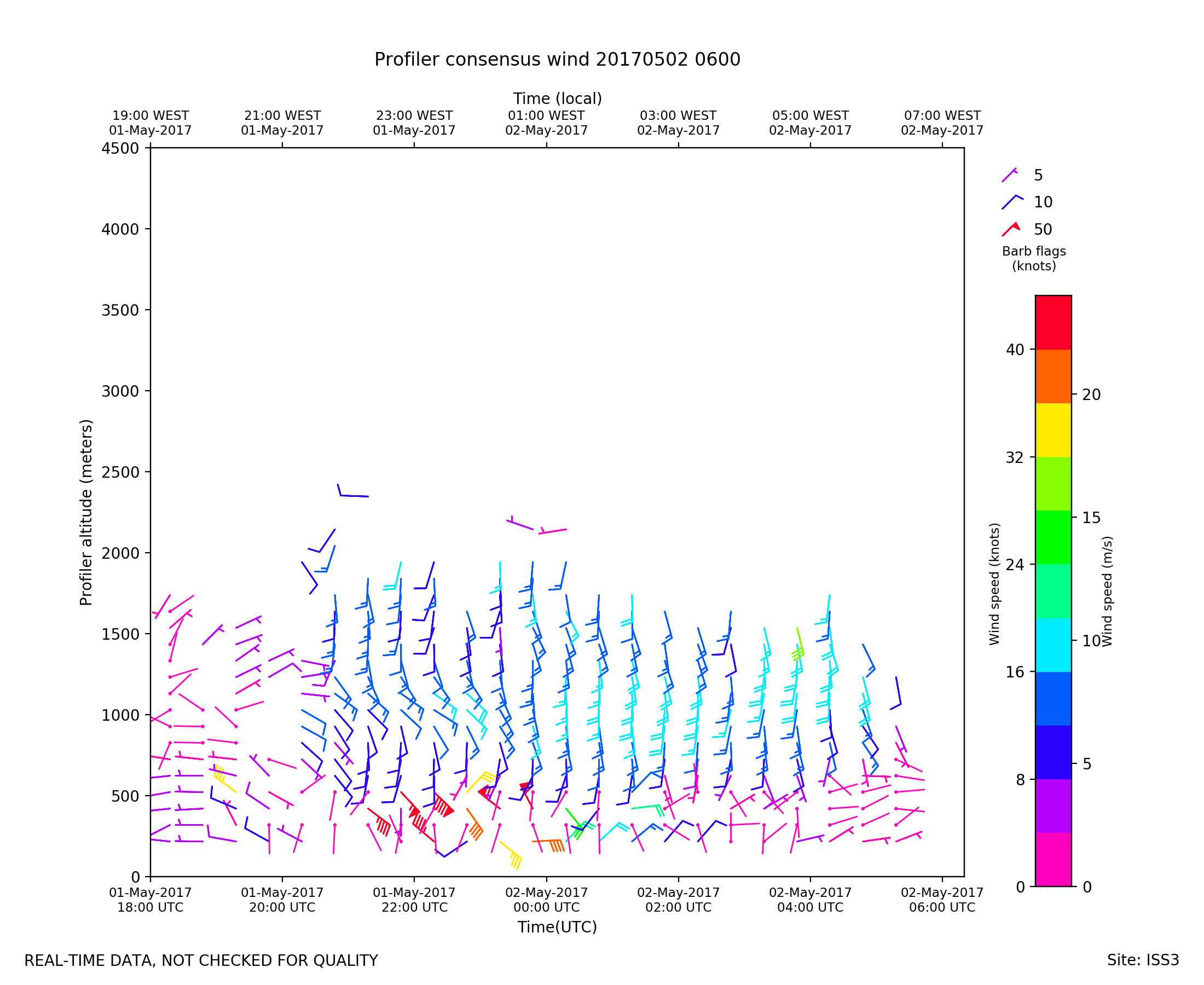
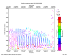
ISS3_Profiler.201705020600.wind...
|
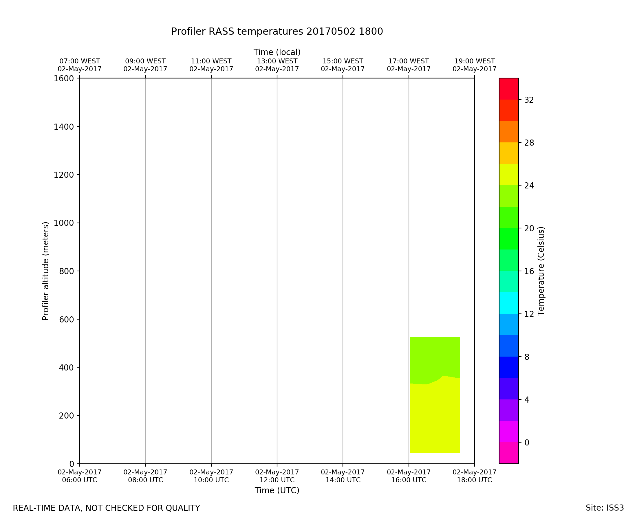
ISS3_Profiler.201705021800.rass
|
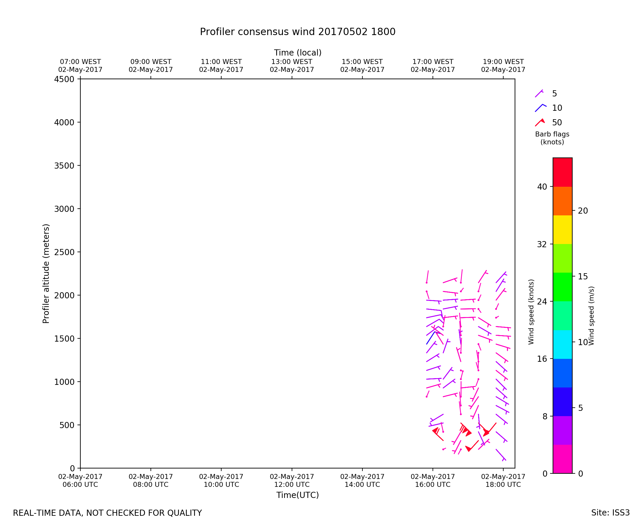
ISS3_Profiler.201705021800.wind...
|
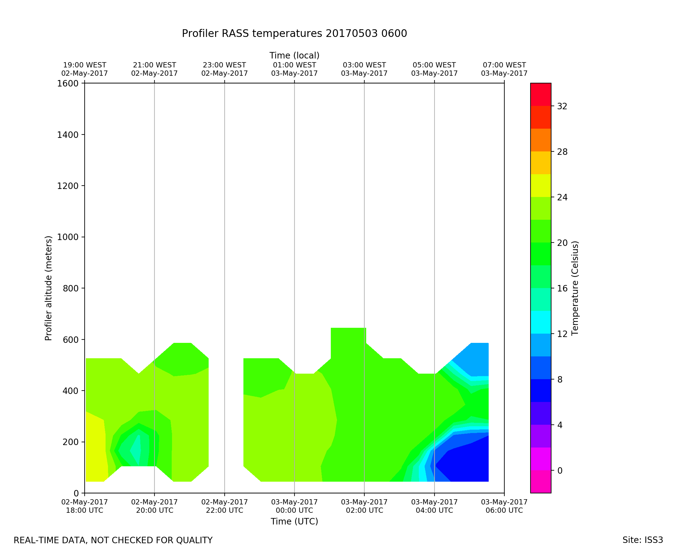
ISS3_Profiler.201705030600.rass
|
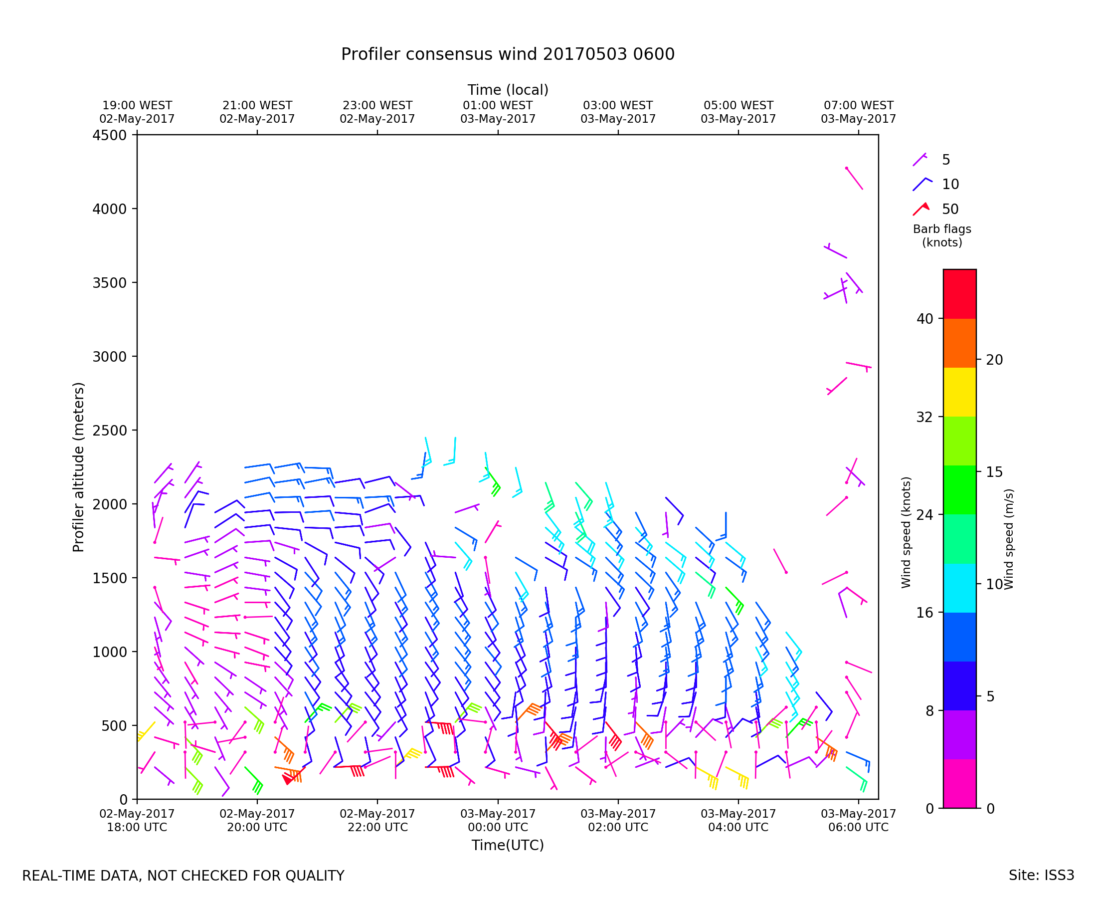
ISS3_Profiler.201705030600.wind...
|
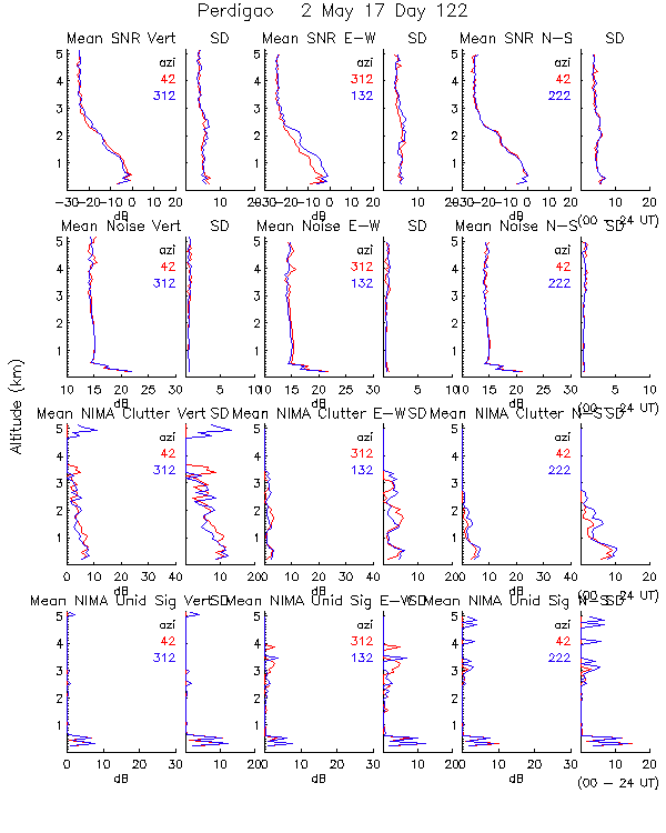
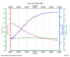
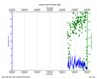
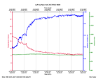
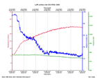
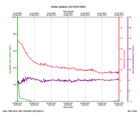
ISS3_Surface.201705020600.pth
|
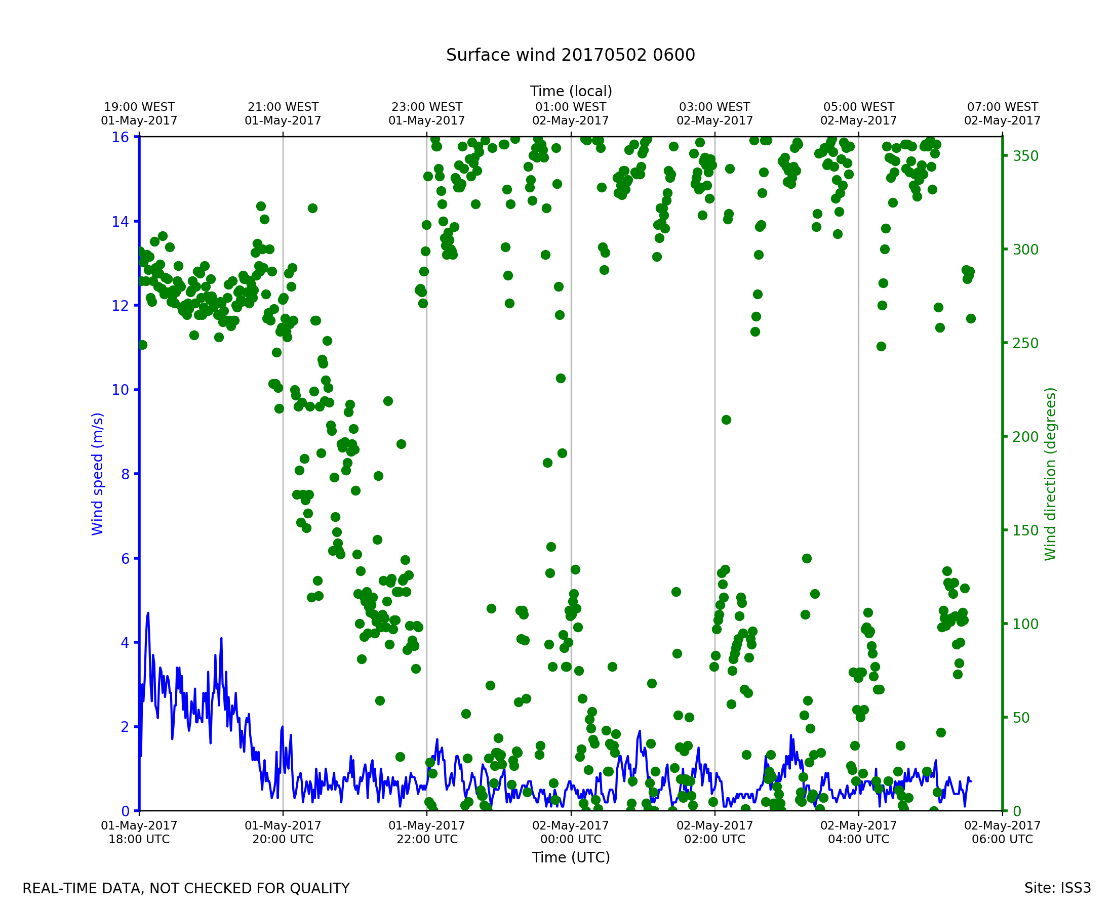
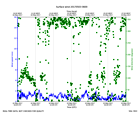
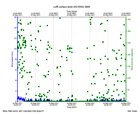
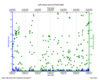
ISS3_Surface.201705020600.wind
|
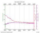
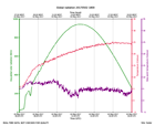
ISS3_Surface.201705021800.pth
|
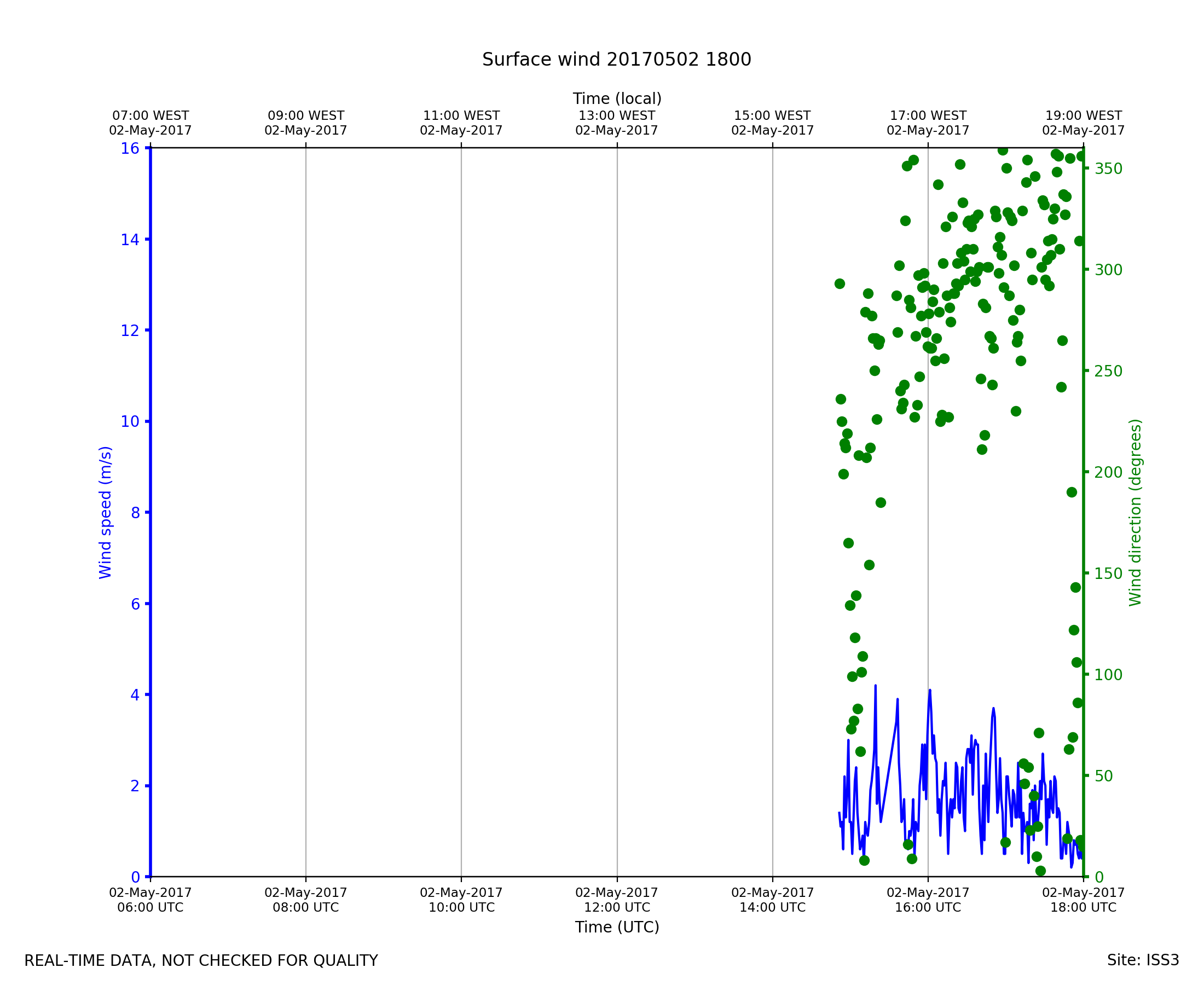
ISS3_Surface.201705021800.wind
|
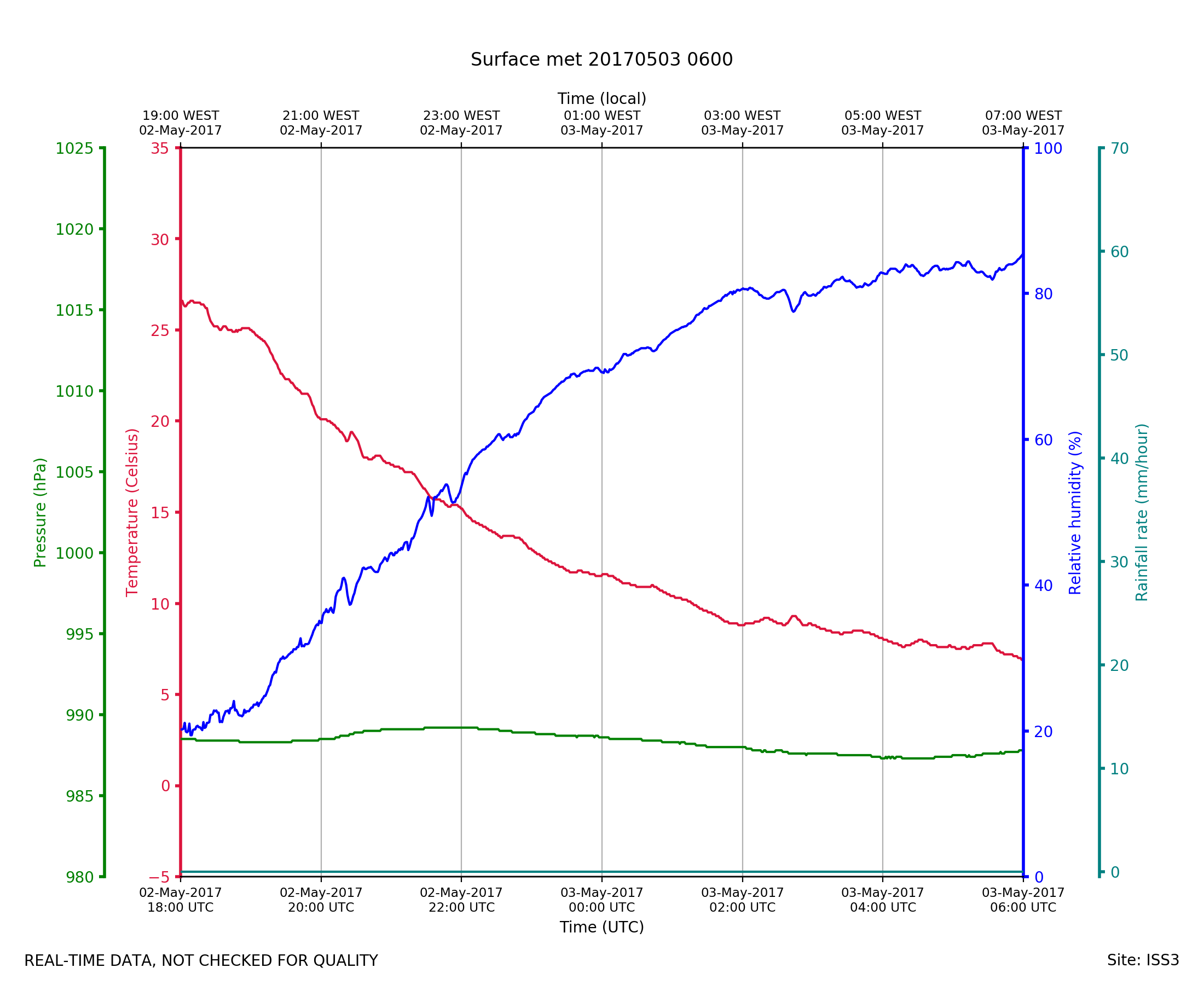
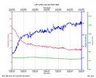
ISS3_Surface.201705030600.pth
|
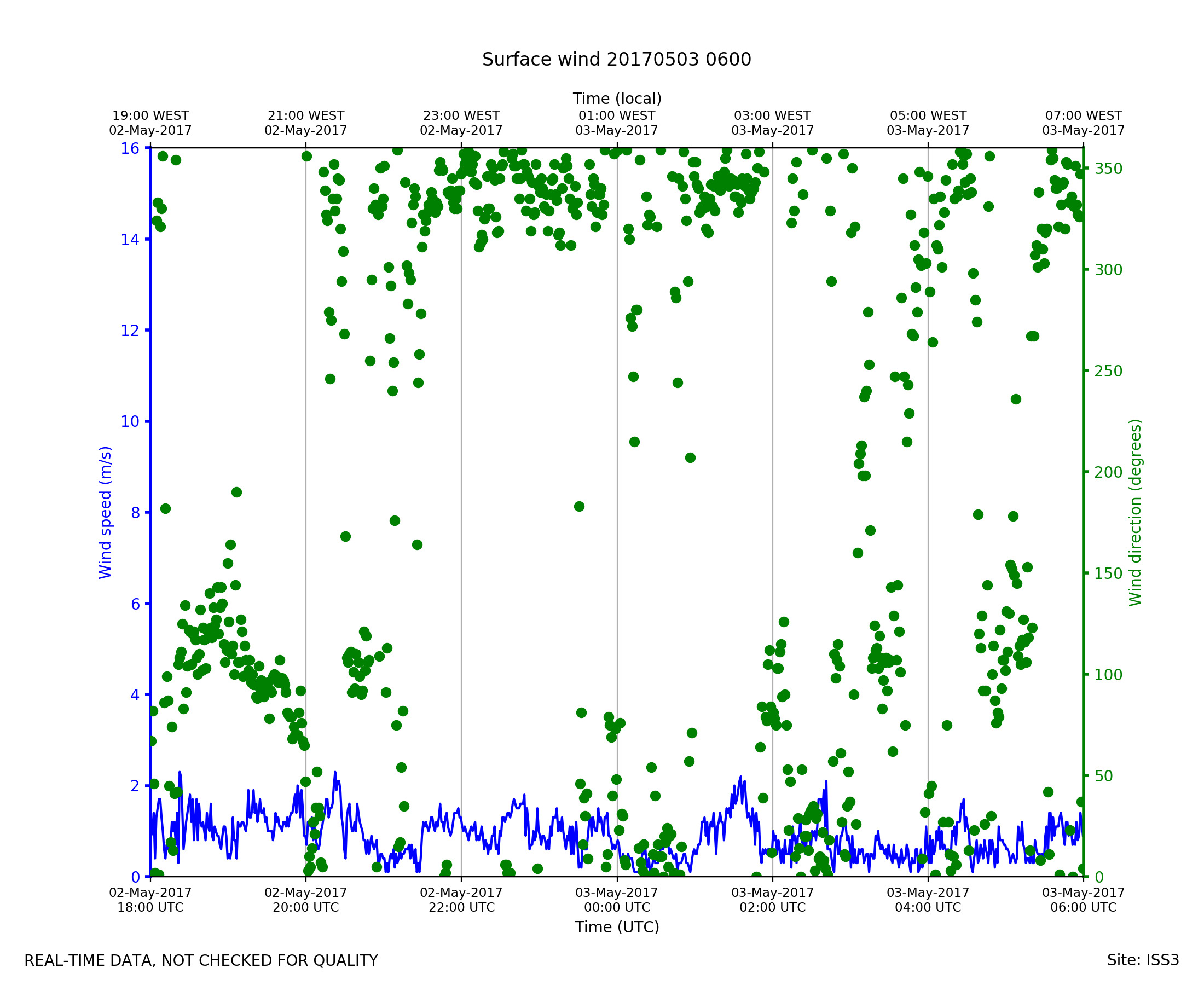
ISS3_Surface.201705030600.wind
|
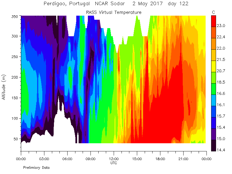
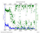
Sodar.2017050200.rass_temperatu...
|
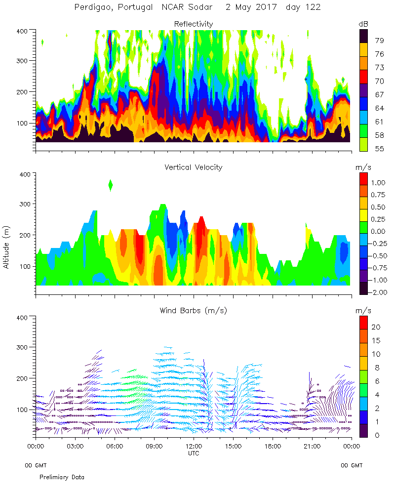
Sodar.2017050200.wind_reflectiv...
|
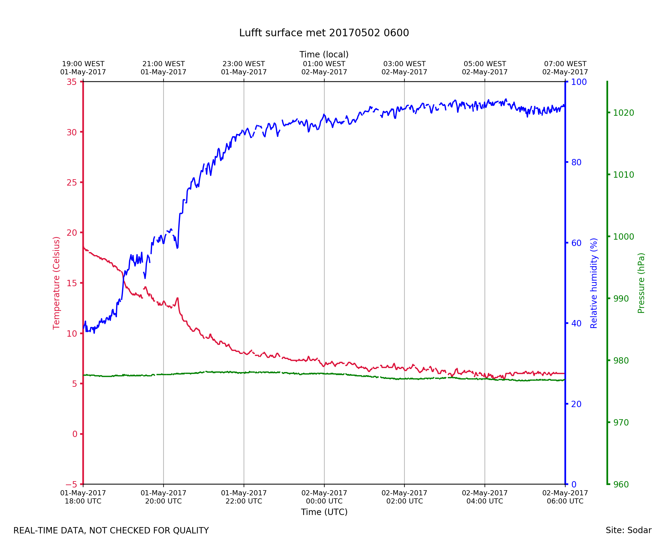
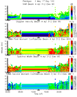
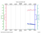
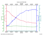
Sodar_Lufft.201705020600.pth
|
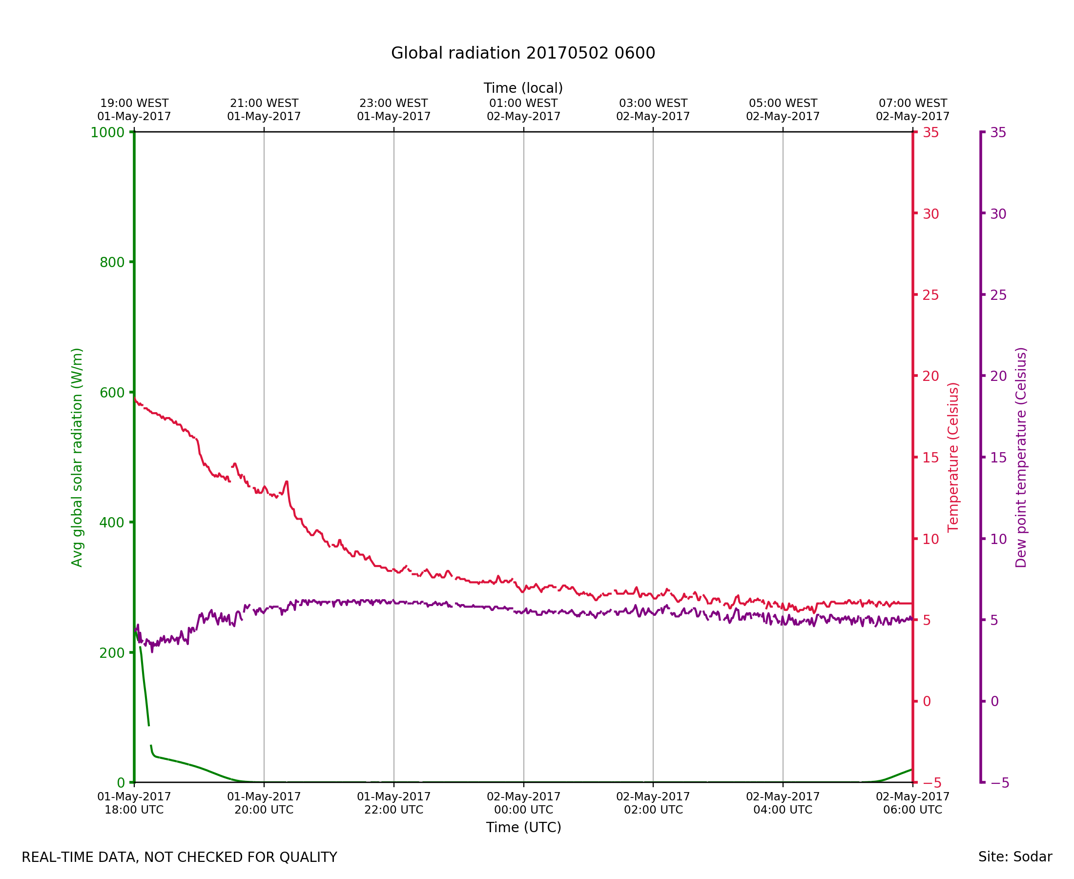
Sodar_Lufft.201705020600.radiat...
|
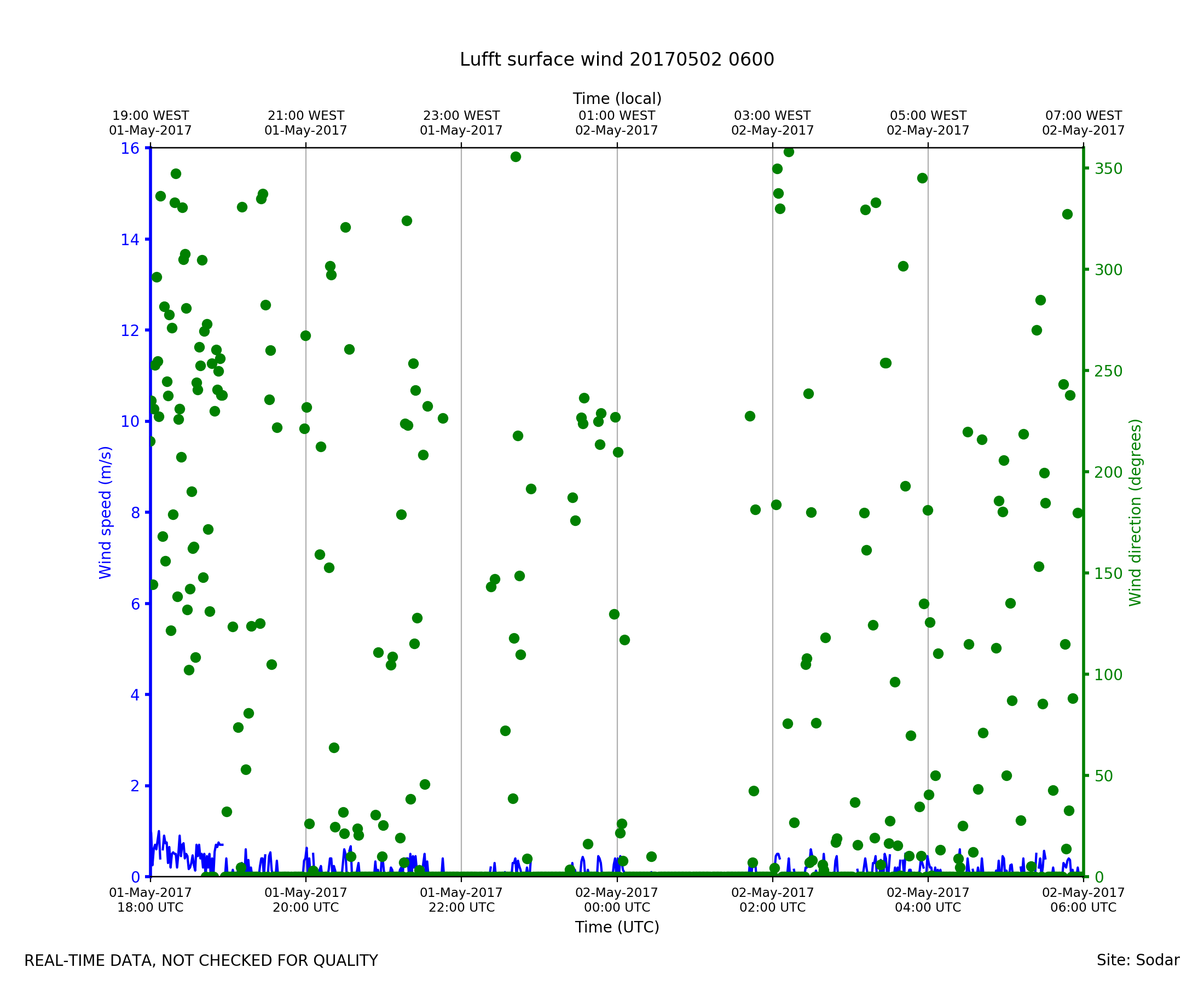
Sodar_Lufft.201705020600.wind
|
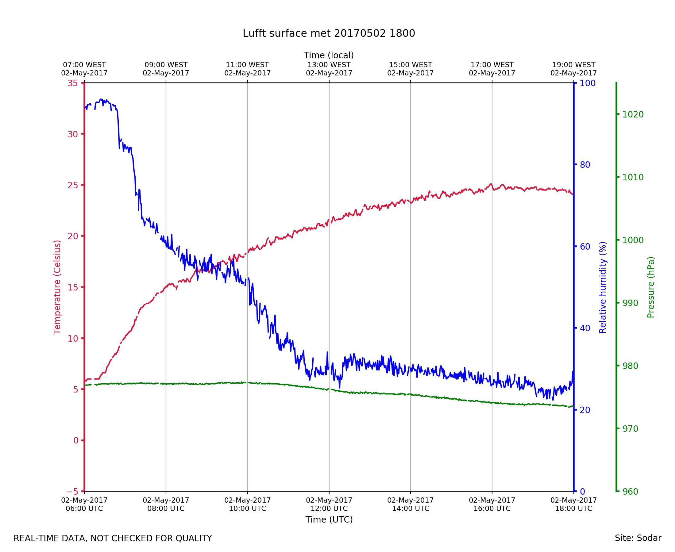
Sodar_Lufft.201705021800.pth
|
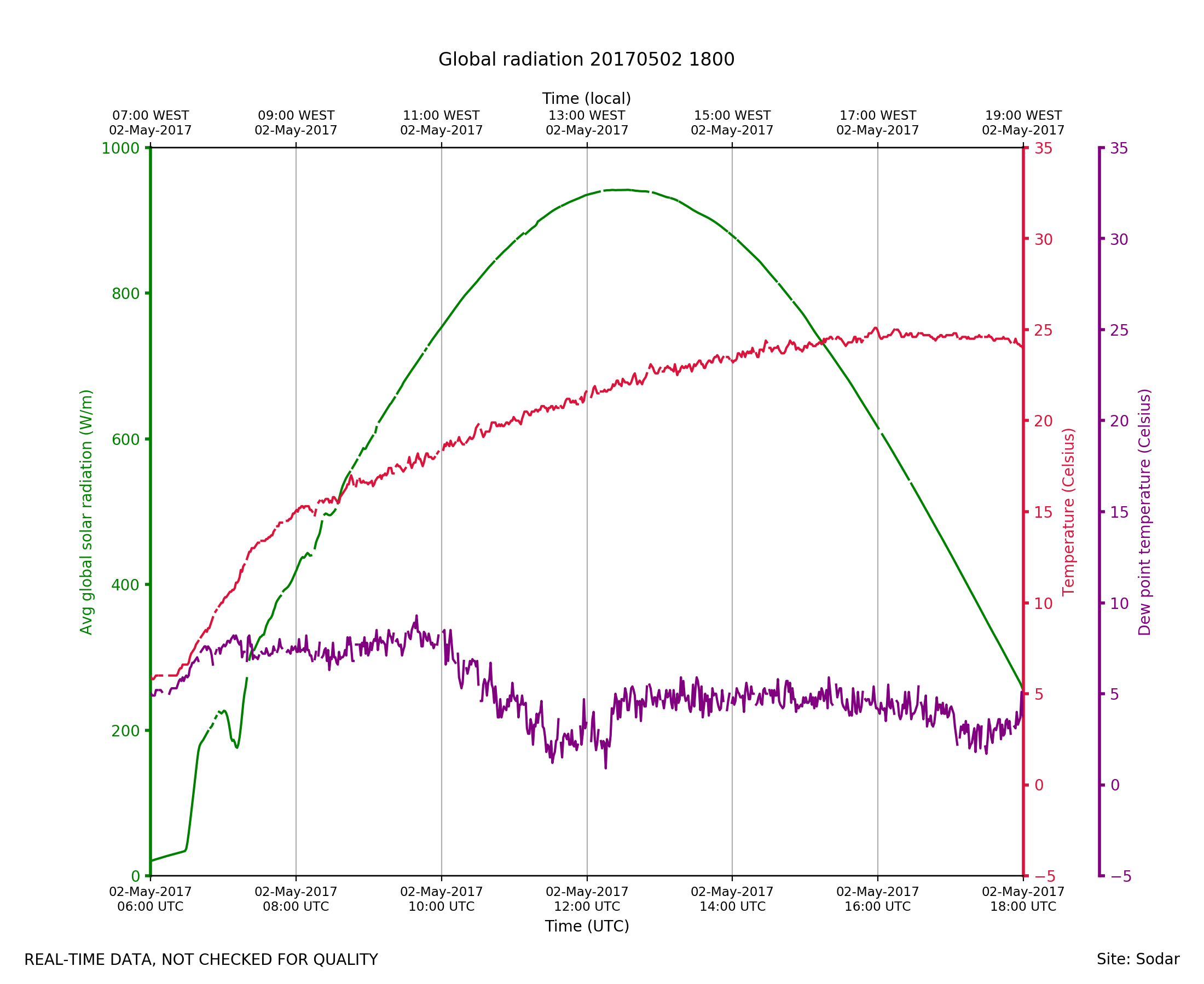
Sodar_Lufft.201705021800.radiat...
|
Sodar_Lufft.201705021800.wind
|
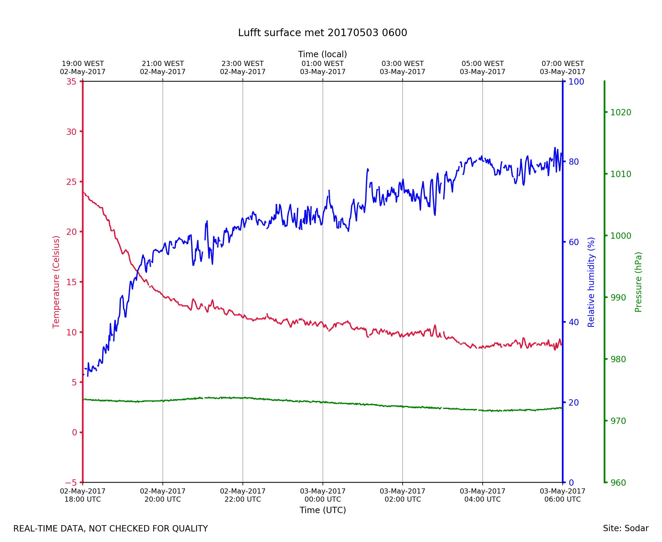
Sodar_Lufft.201705030600.pth
|
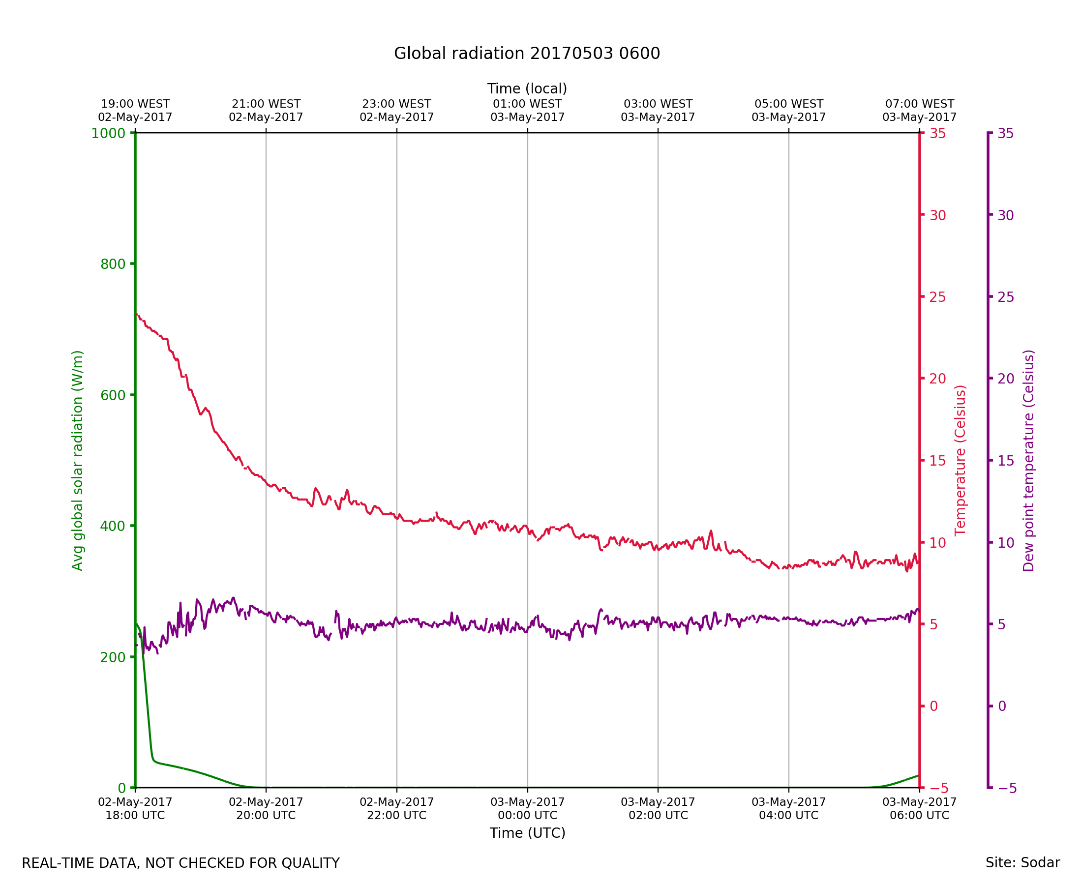
Sodar_Lufft.201705030600.radiat...
|
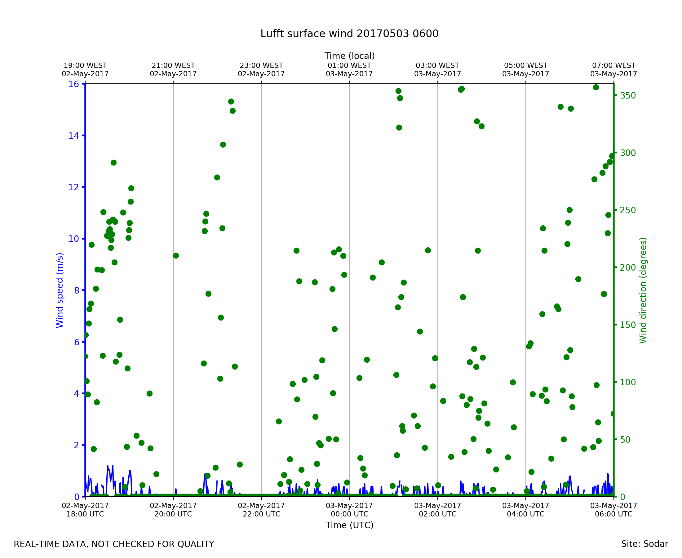
Sodar_Lufft.201705030600.wind
|