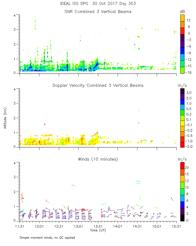
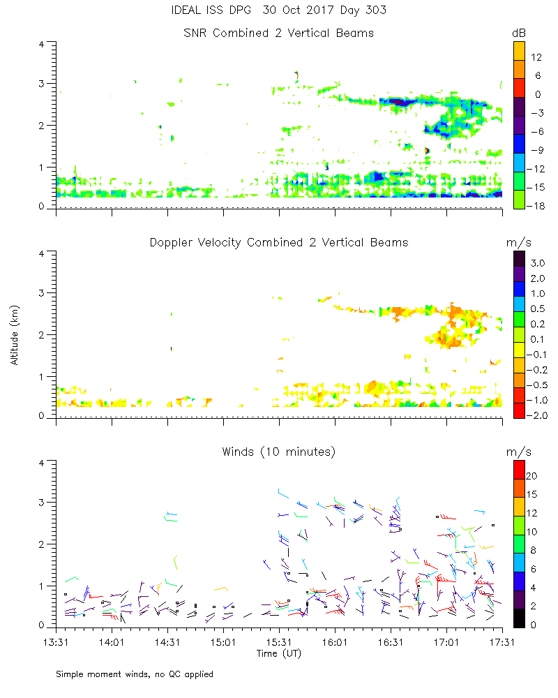
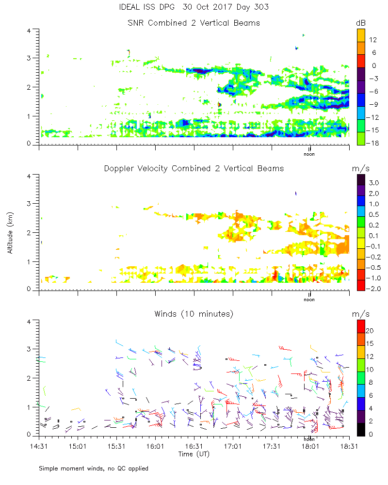
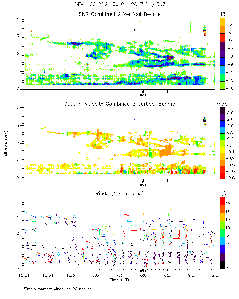
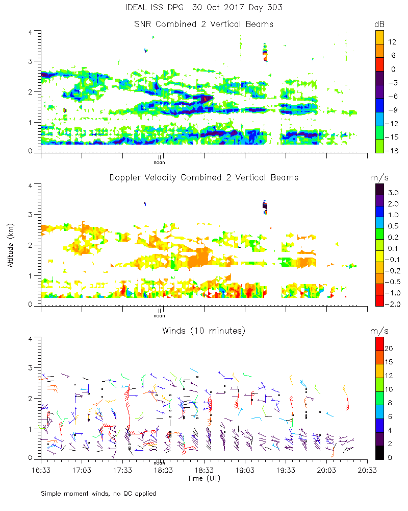
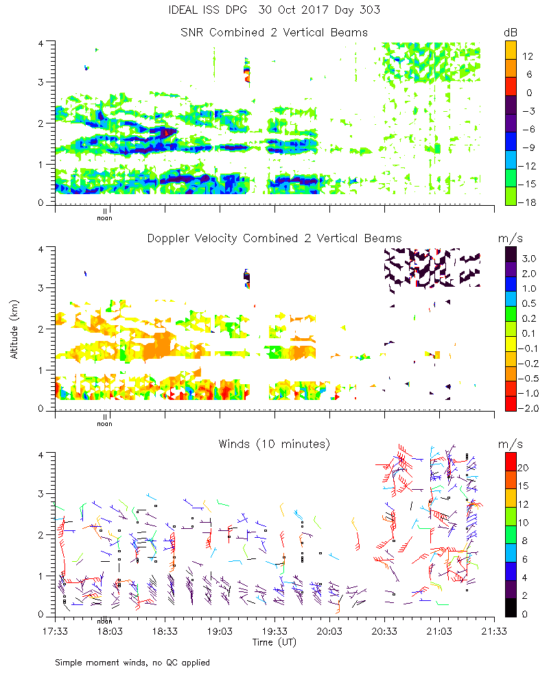
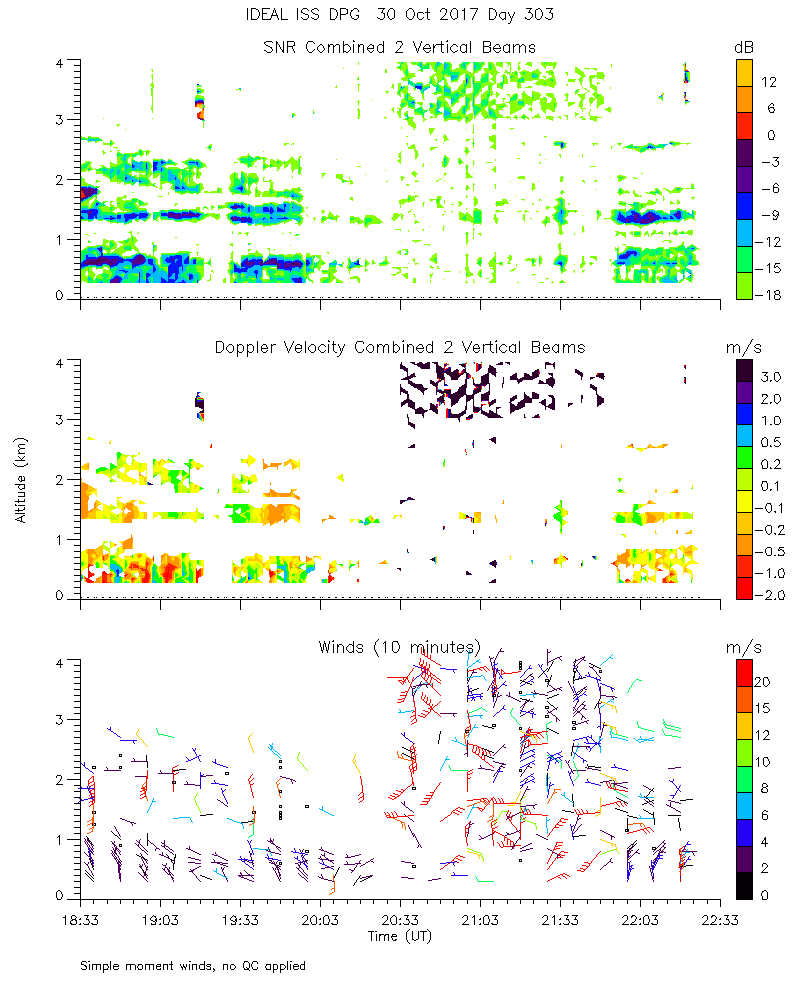
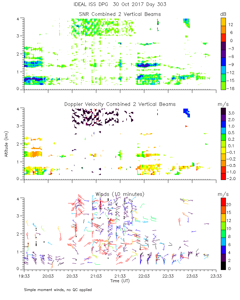
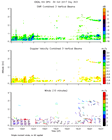
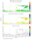
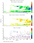
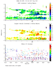
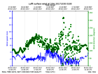
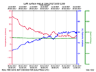
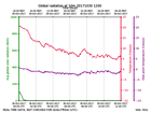
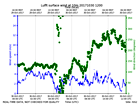
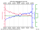
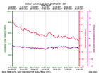
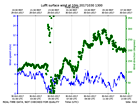
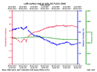
Click on the thumbnail image to view the full-size image.
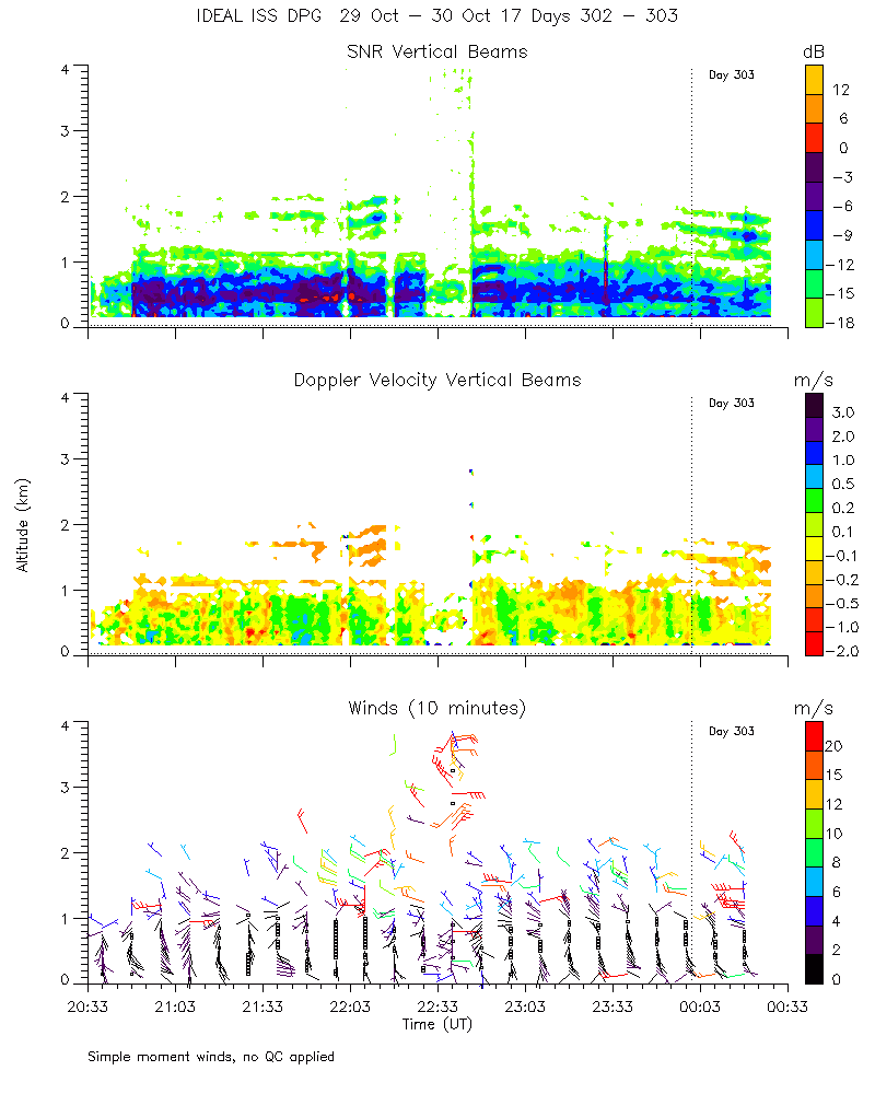
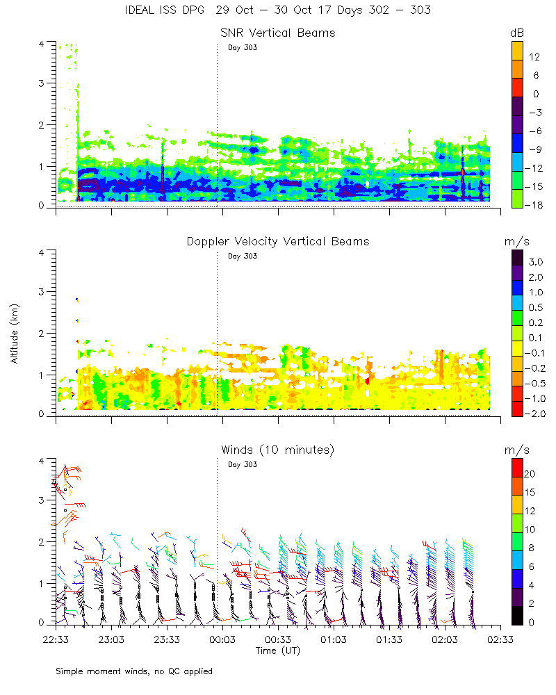
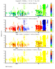
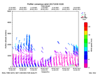
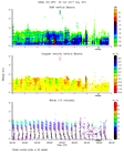
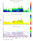
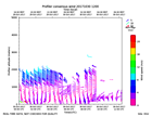
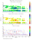
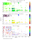
ISS2_Profiler.201710292300.mome...
|
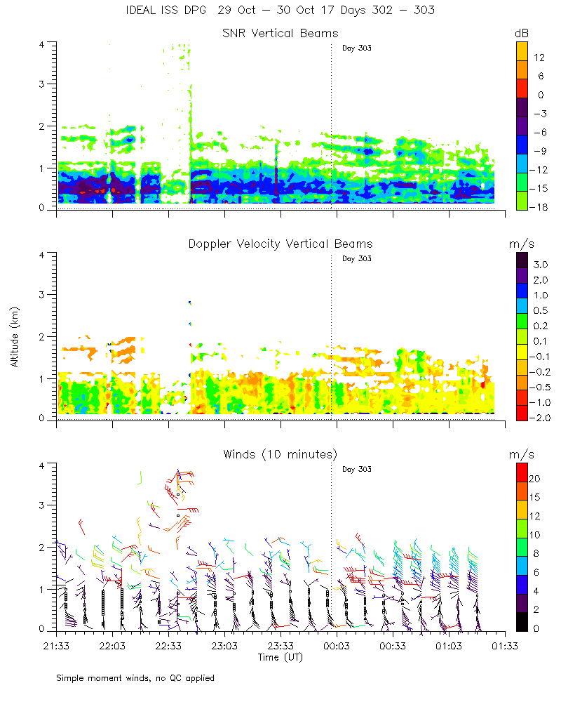
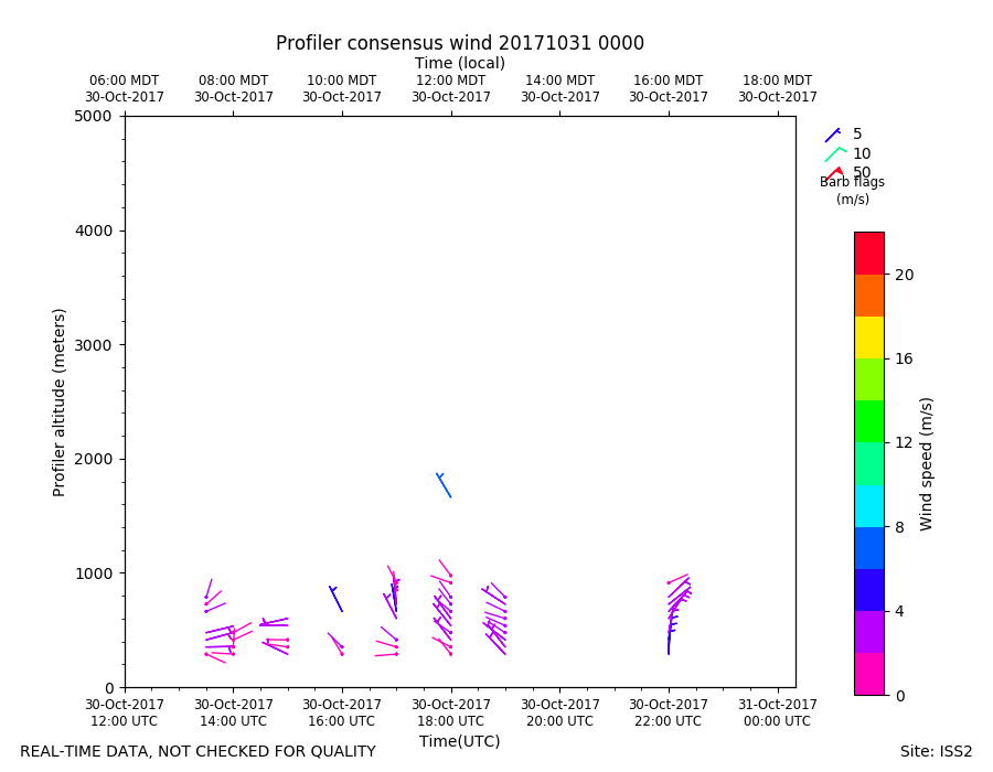
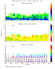
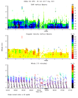
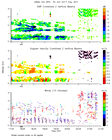
ISS2_Profiler.201710300000.mome...
|
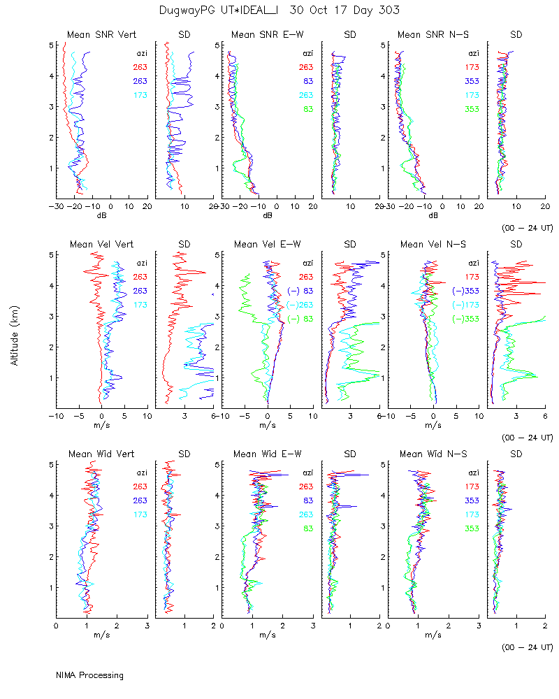
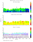
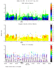
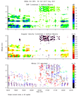
ISS2_Profiler.201710300000.nima...
|
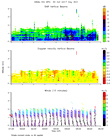
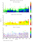
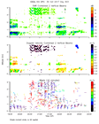
ISS2_Profiler.201710300000.nima...

|
ISS2_Profiler.201710300000.nima...

|
ISS2_Profiler.201710300000.nima...
|
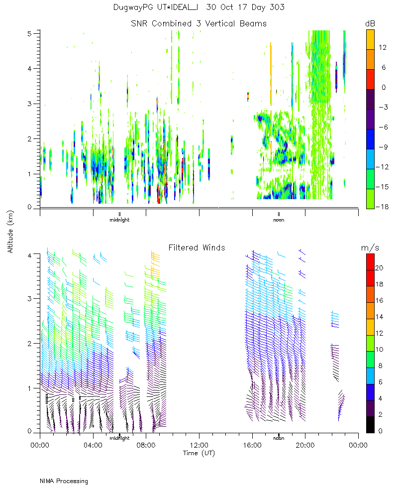
ISS2_Profiler.201710300000.snr_...
|
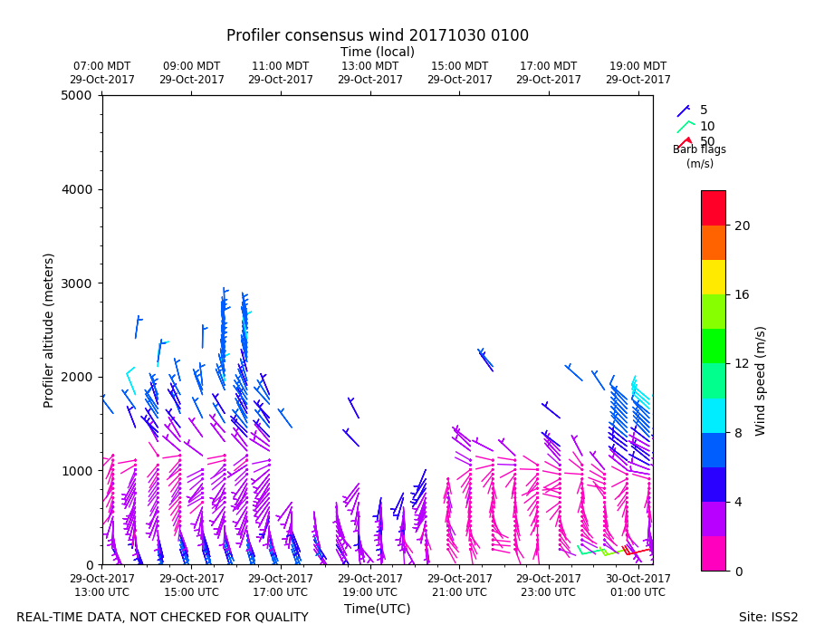
ISS2_Profiler.201710300100.mome...
|
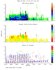
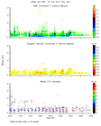
ISS2_Profiler.201710300100.wind...
|
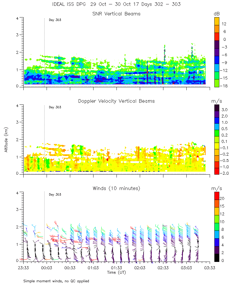
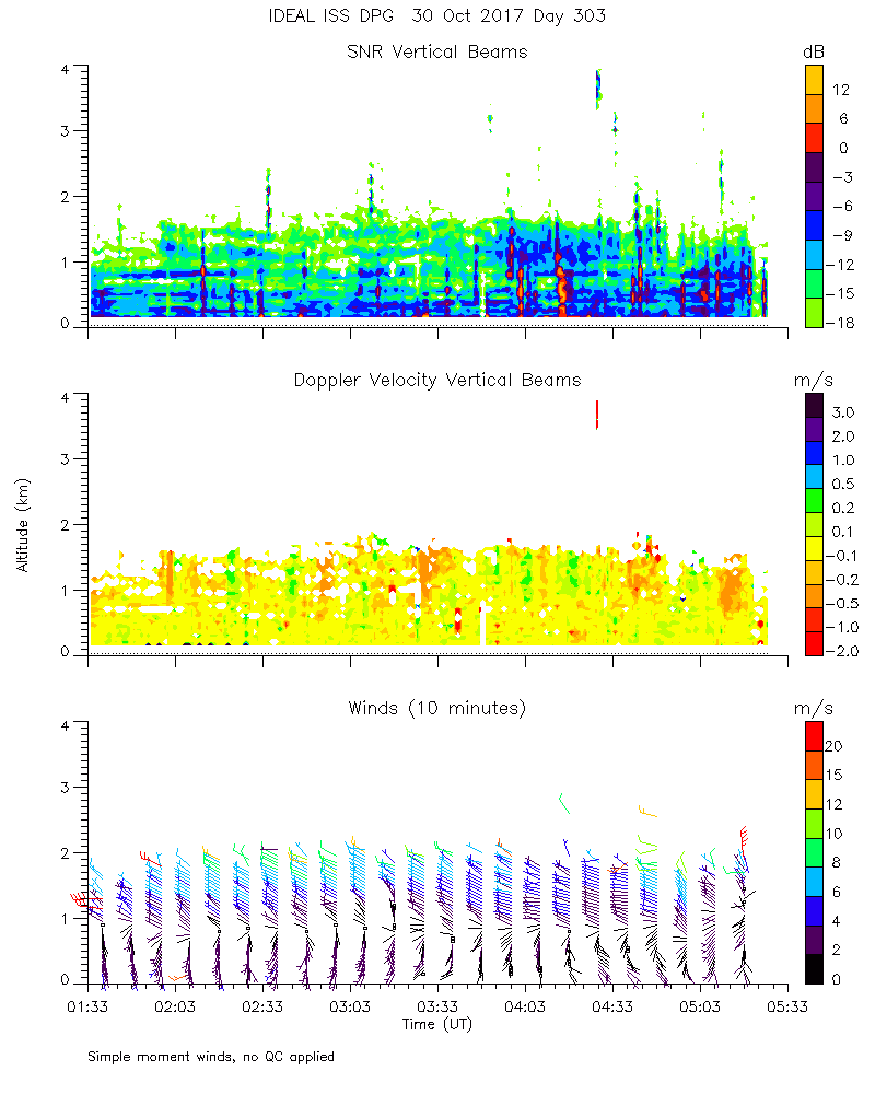
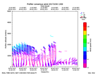
ISS2_Profiler.201710300200.mome...
|
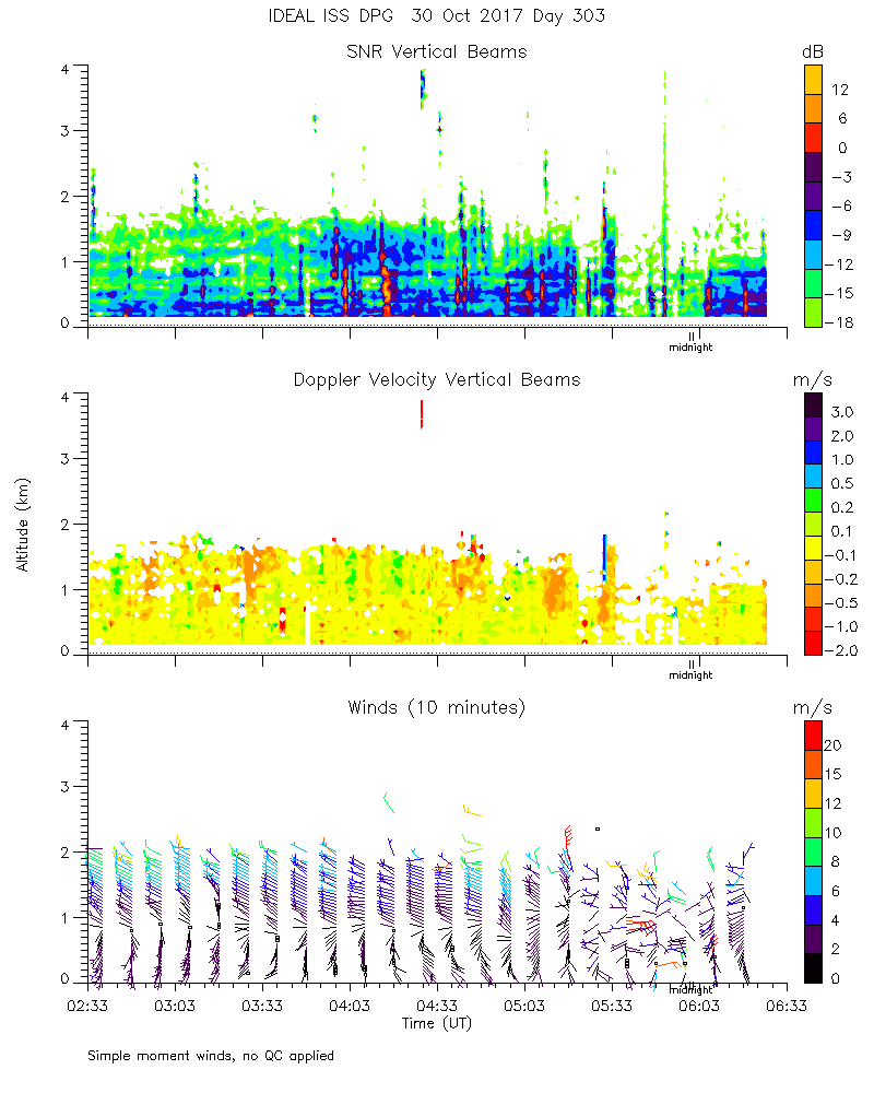
ISS2_Profiler.201710300300.mome...
|
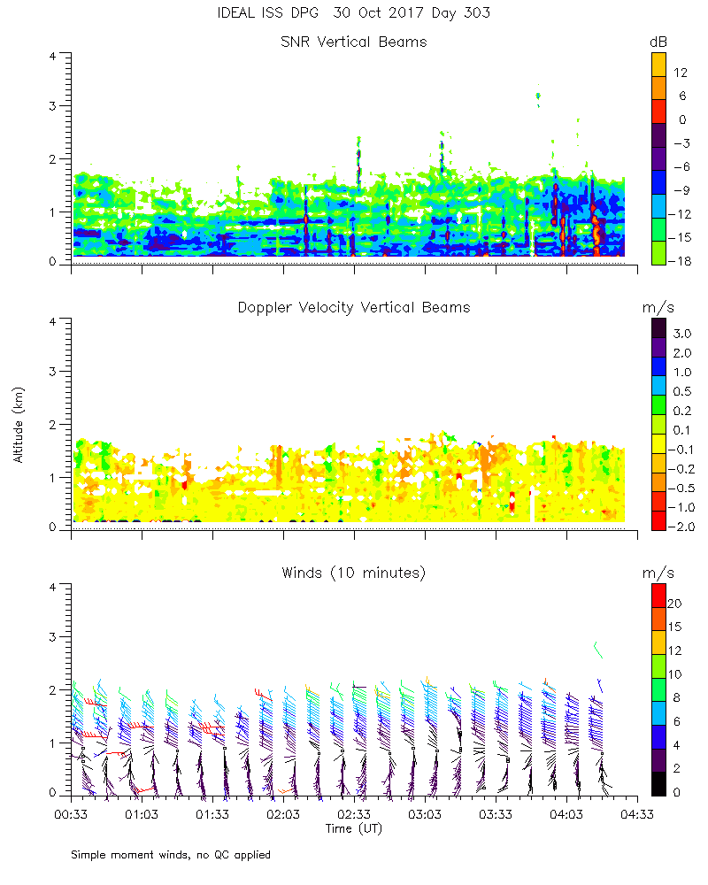
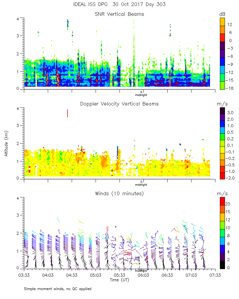
ISS2_Profiler.201710300400.mome...
|
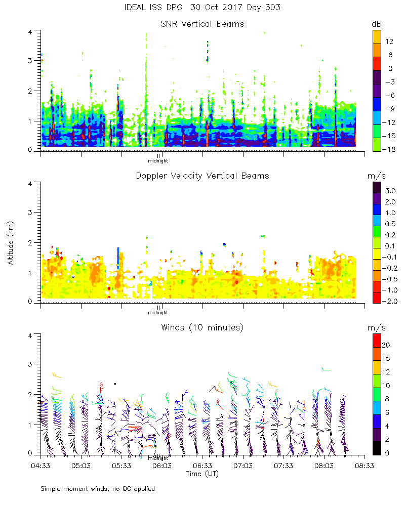
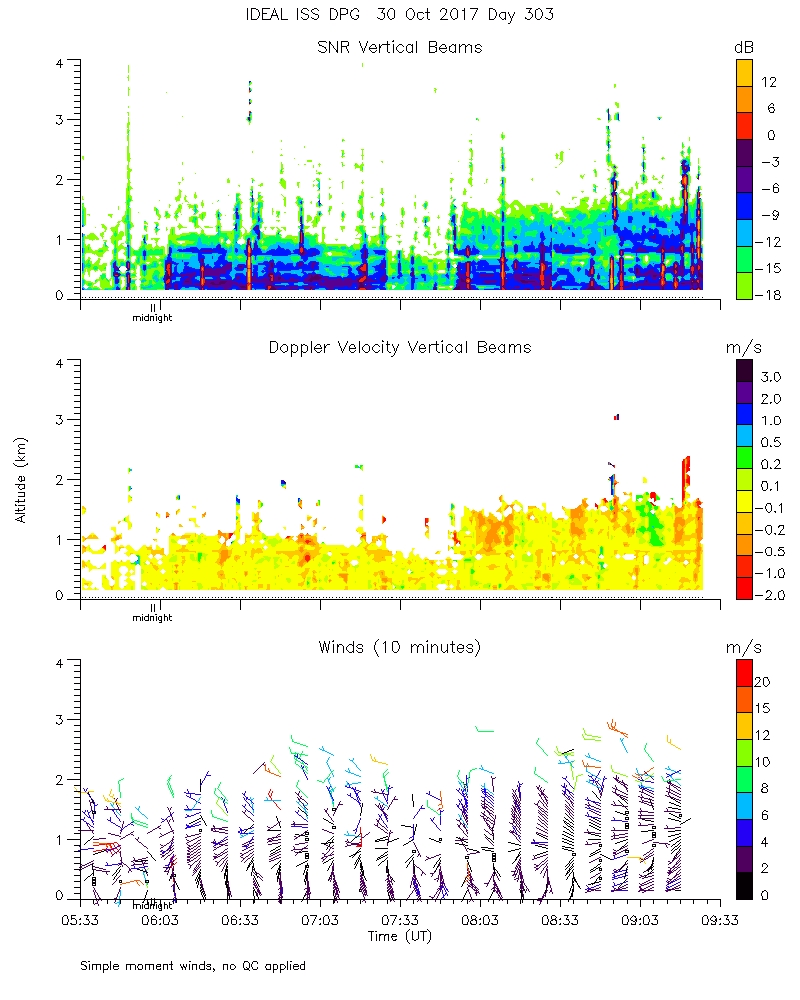
ISS2_Profiler.201710300500.mome...
|
ISS2_Profiler.201710300600.mome...
|
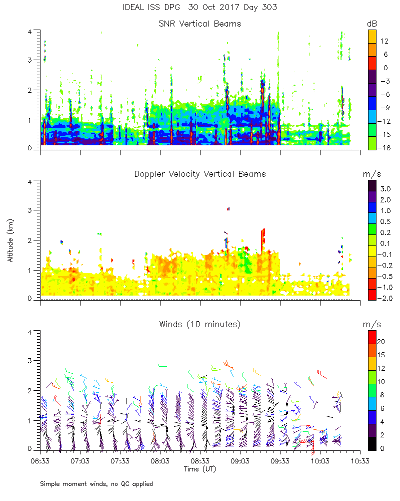
ISS2_Profiler.201710300700.mome...
|
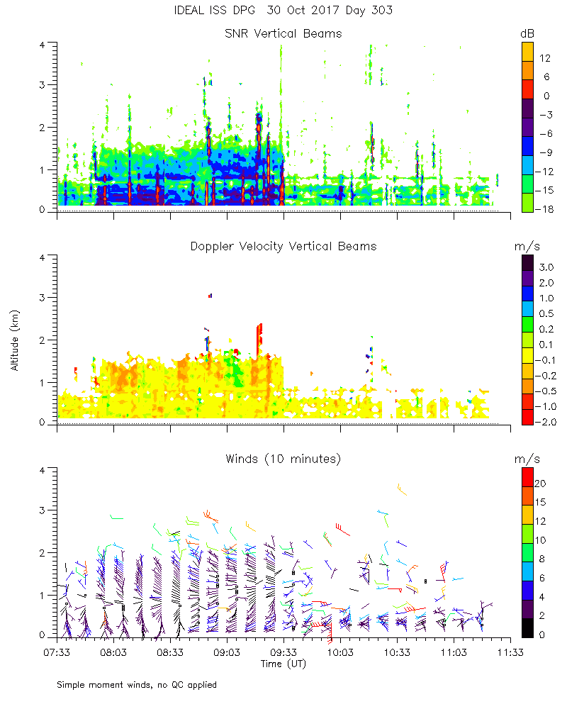
ISS2_Profiler.201710300800.mome...
|
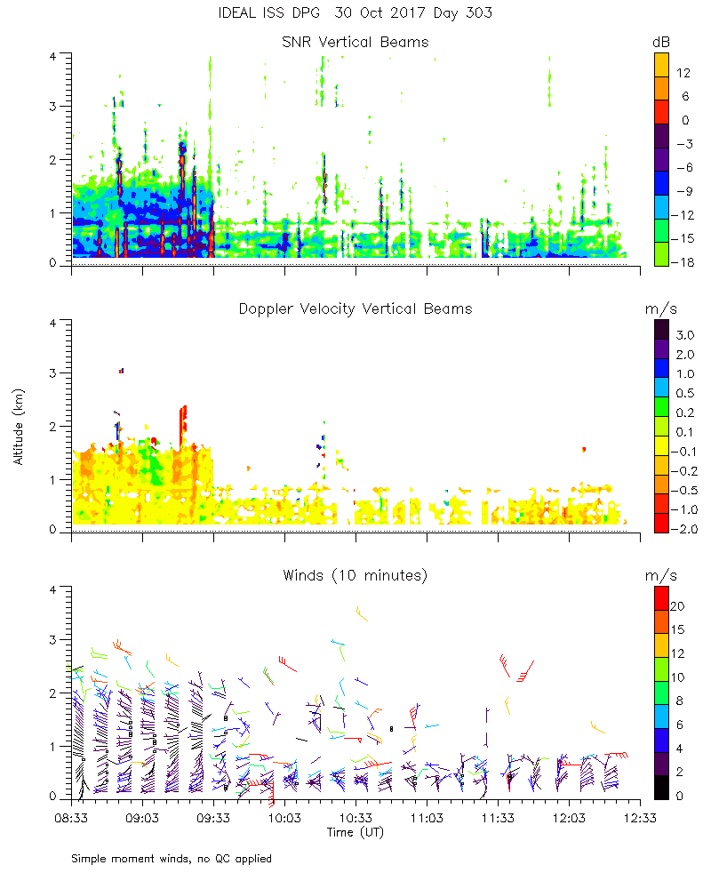
ISS2_Profiler.201710300900.mome...
|
ISS2_Profiler.201710301000.mome...
|
ISS2_Profiler.201710301100.mome...
|
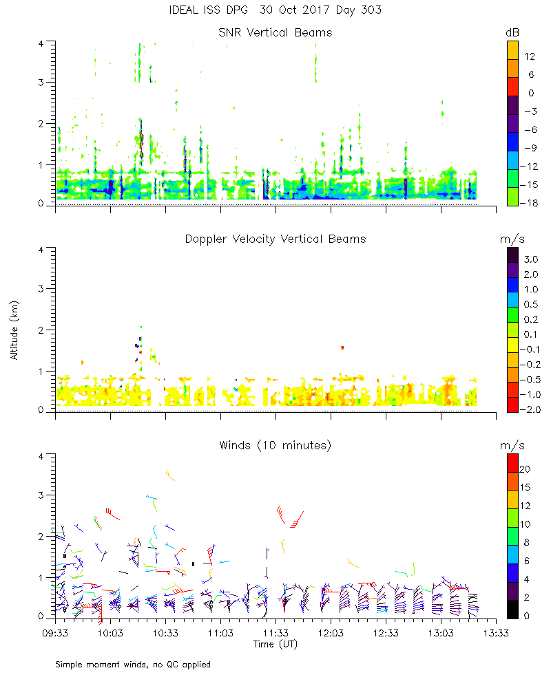
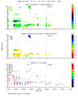
ISS2_Profiler.201710301200.mome...
|
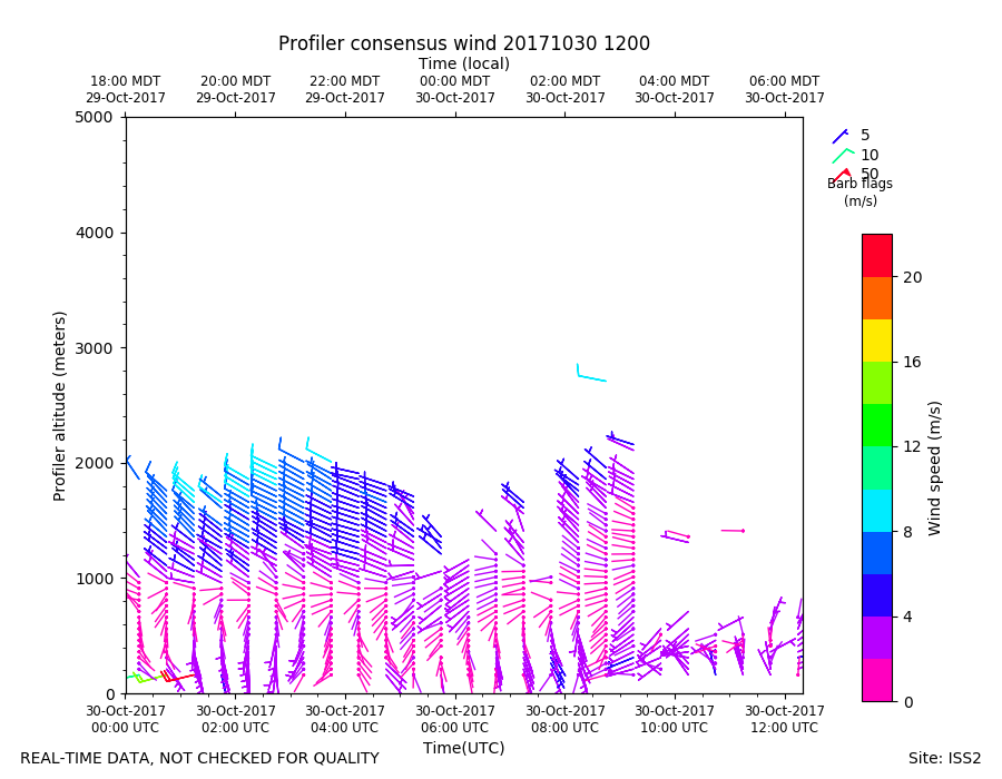
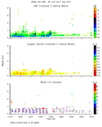
ISS2_Profiler.201710301200.wind...
|
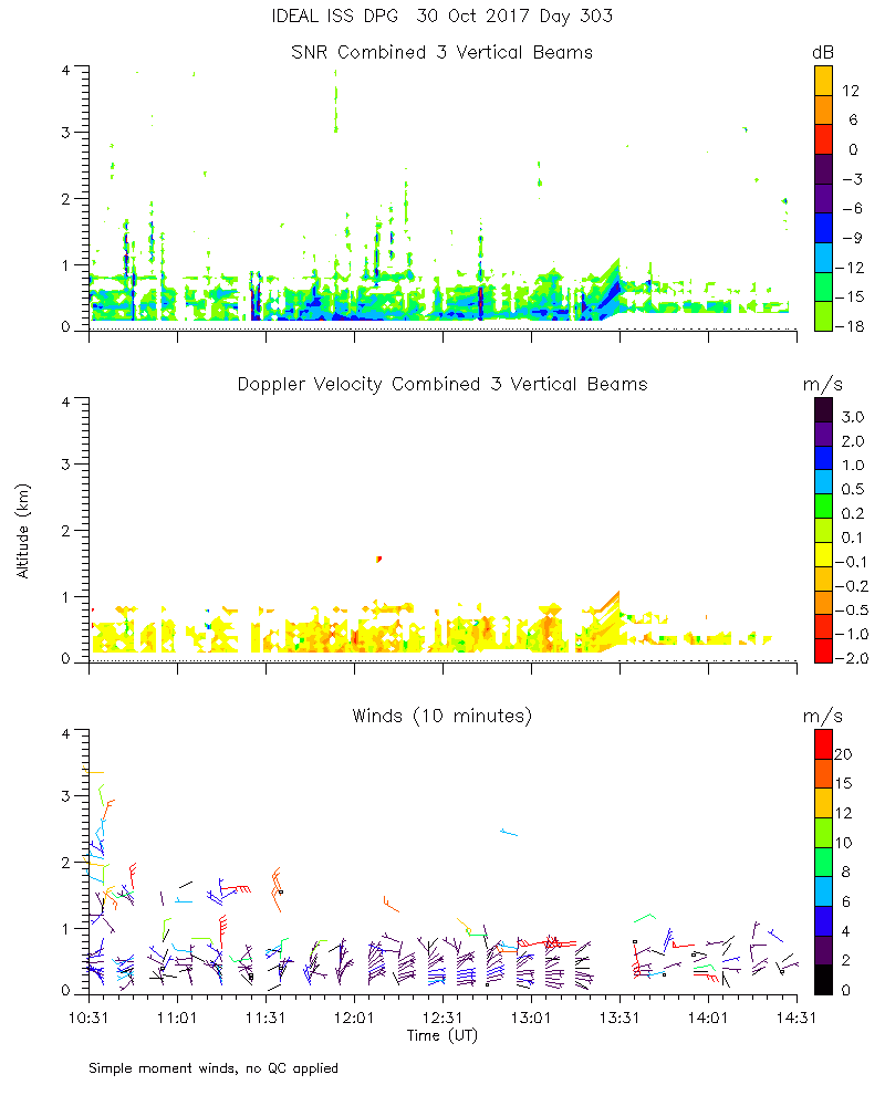
ISS2_Profiler.201710301300.mome...
|
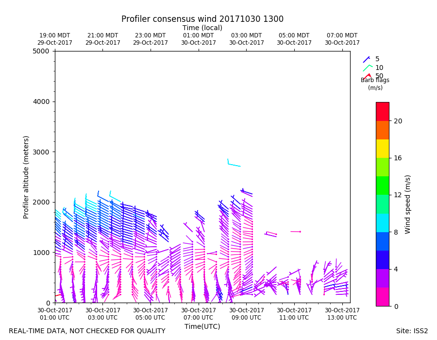
ISS2_Profiler.201710301300.wind...
|
ISS2_Profiler.201710301400.mome...
|
ISS2_Profiler.201710301500.mome...
|
ISS2_Profiler.201710301600.mome...
|
ISS2_Profiler.201710301700.mome...
|
ISS2_Profiler.201710301800.mome...
|
ISS2_Profiler.201710301900.mome...
|
ISS2_Profiler.201710302000.mome...
|
ISS2_Profiler.201710302100.mome...
|
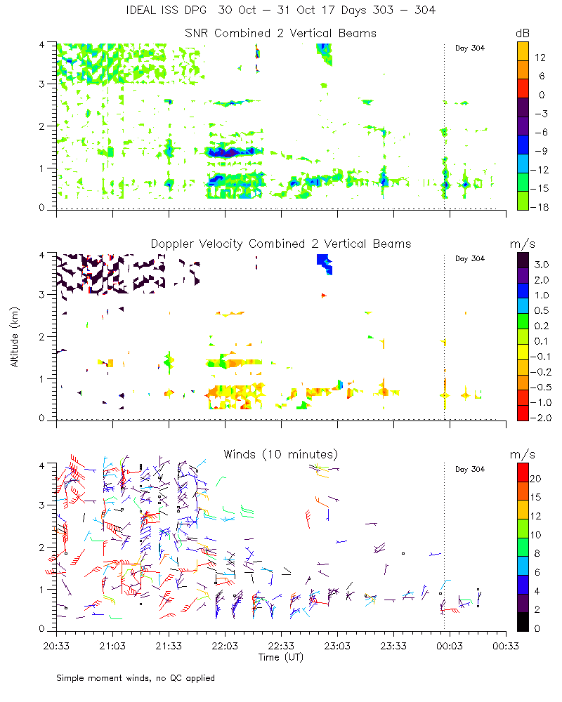
ISS2_Profiler.201710302200.mome...
|
ISS2_Profiler.201710302300.mome...
|
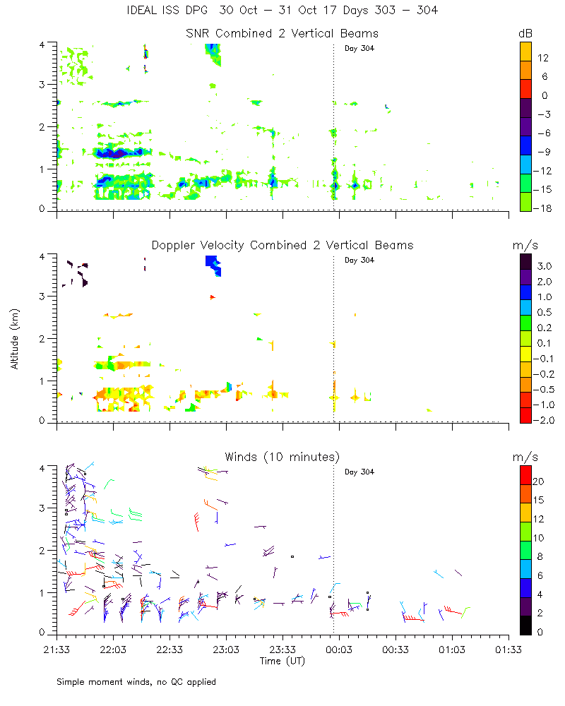
ISS2_Profiler.201710310000.mome...
|
ISS2_Profiler.201710310000.wind...
|
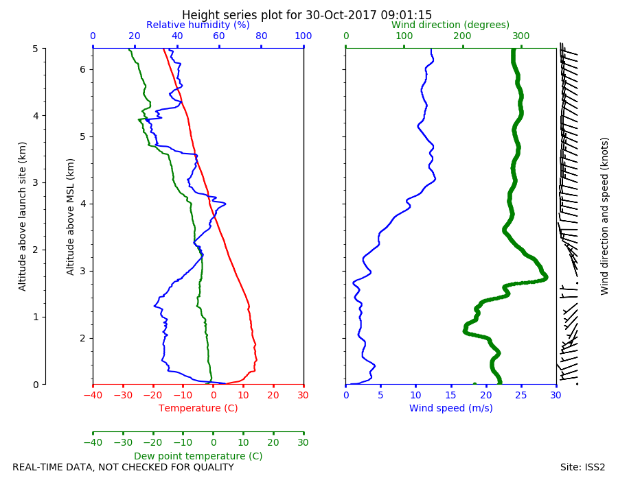
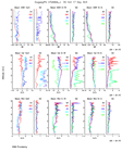
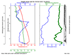
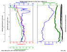
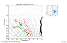
ISS2_Sonde.201710300901.height_...

|
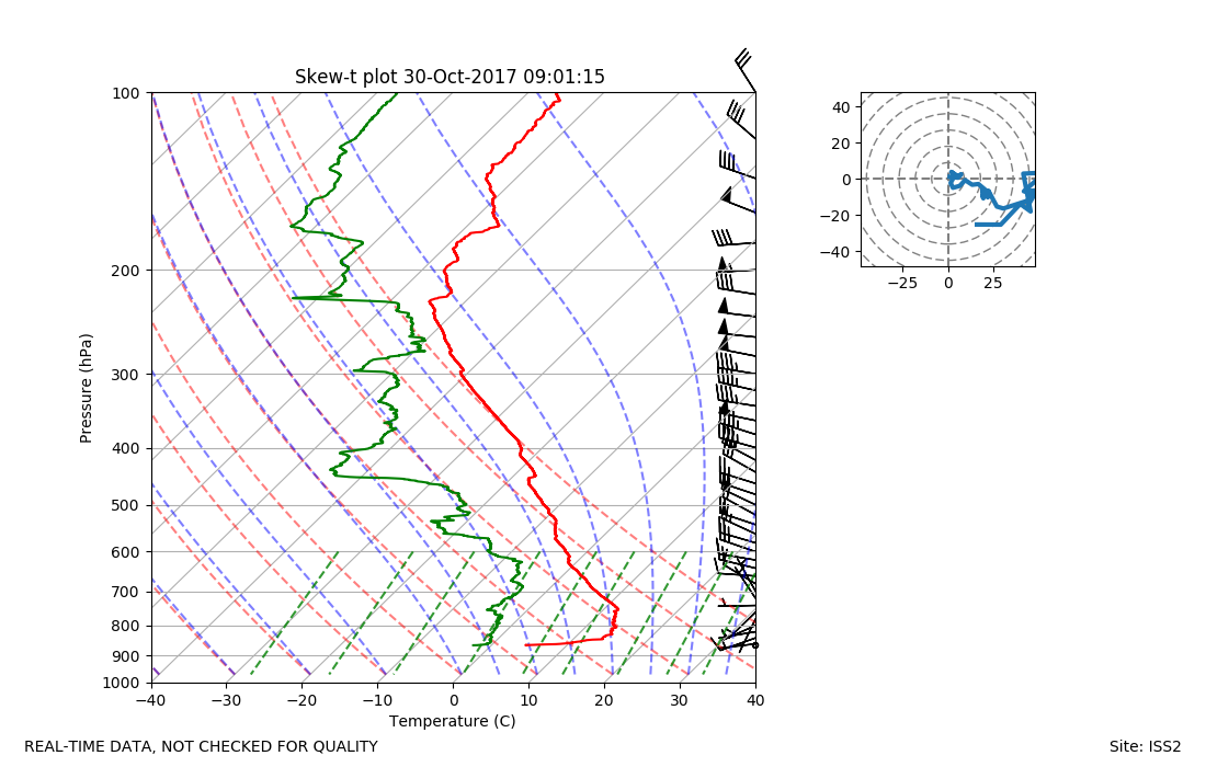
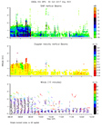
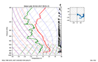
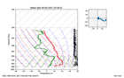
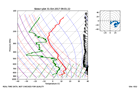
ISS2_Sonde.201710300901.skewT
|
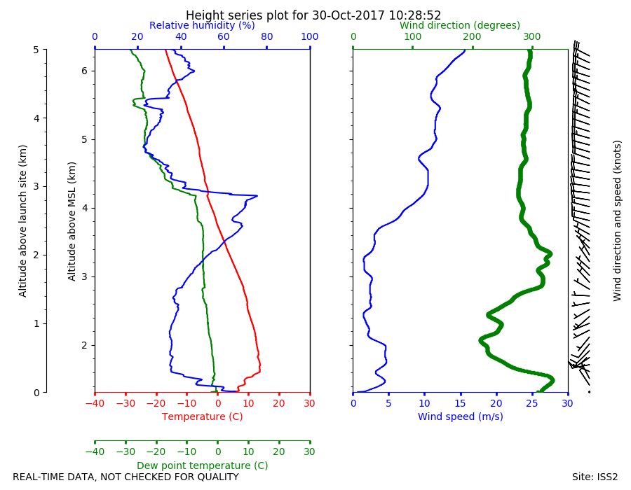
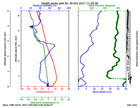
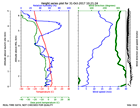
ISS2_Sonde.201710301028.height_...
|
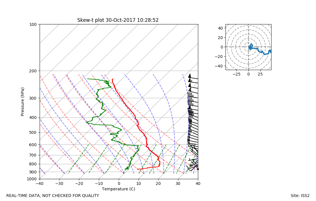
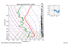
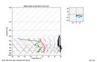
ISS2_Sonde.201710301028.skewT
|
ISS2_Sonde.201710301129.height_...
|
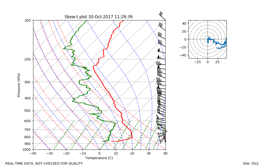
ISS2_Sonde.201710301129.skewT
|
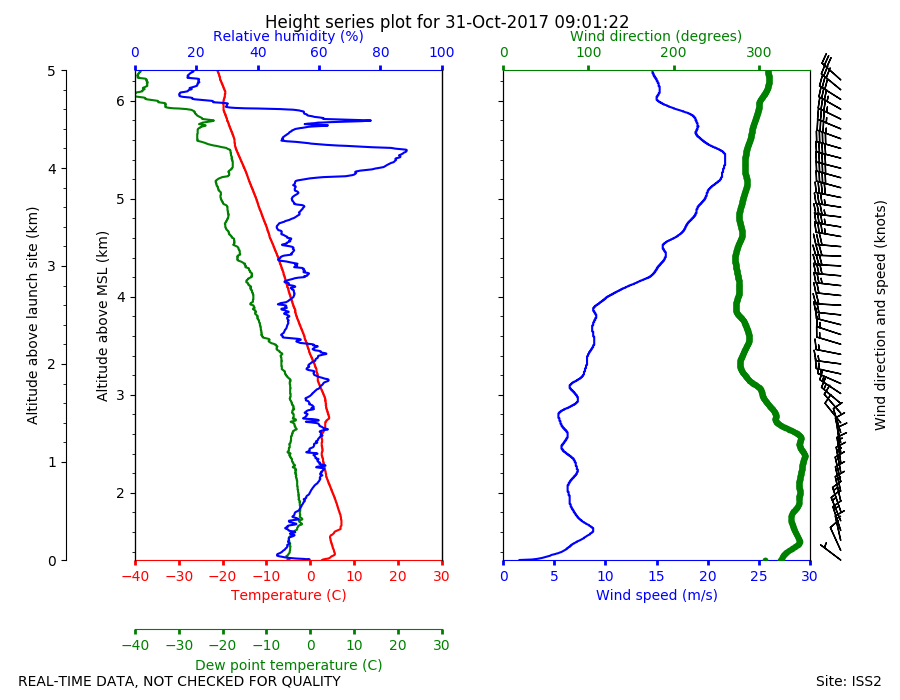
ISS2_Sonde.201710310901.height_...
|
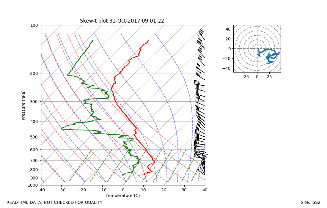
ISS2_Sonde.201710310901.skewT
|
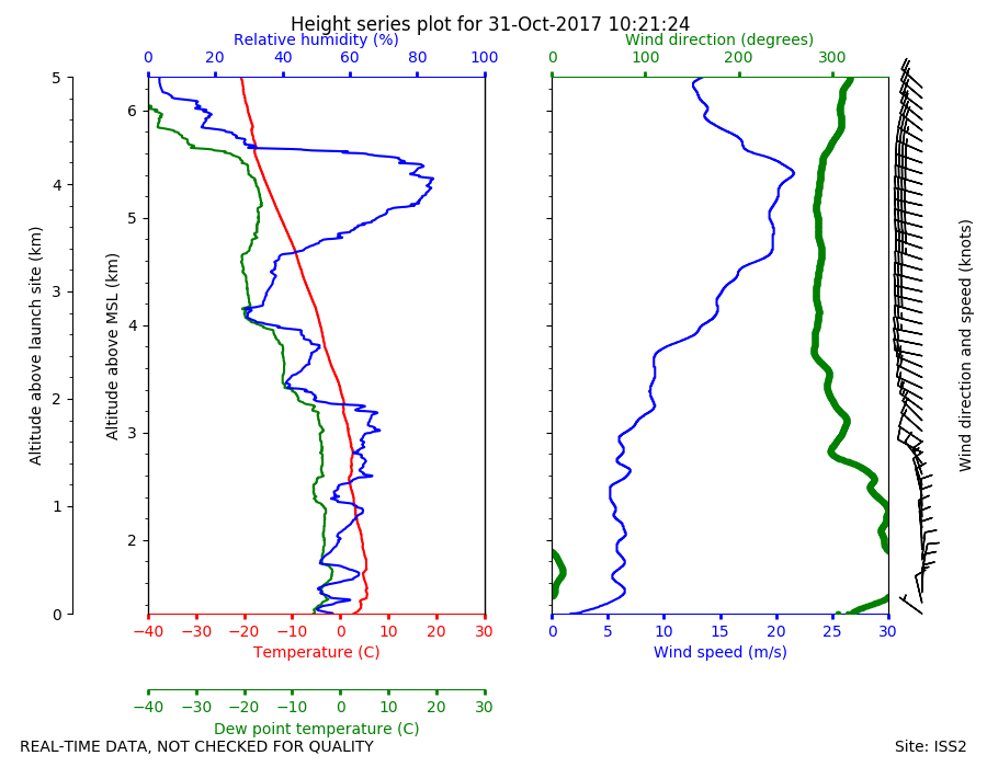
ISS2_Sonde.201710311021.height_...
|
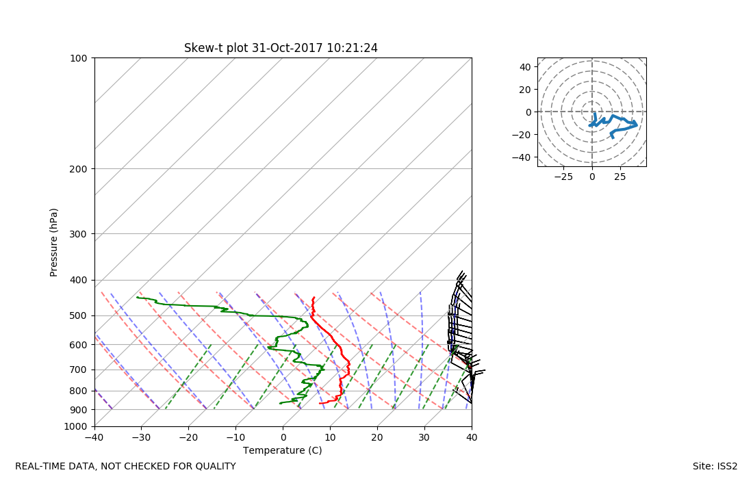
ISS2_Sonde.201710311021.skewT
|
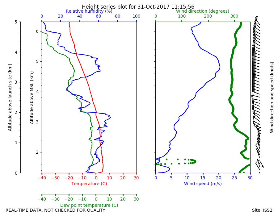
ISS2_Sonde.201710311115.height_...
|
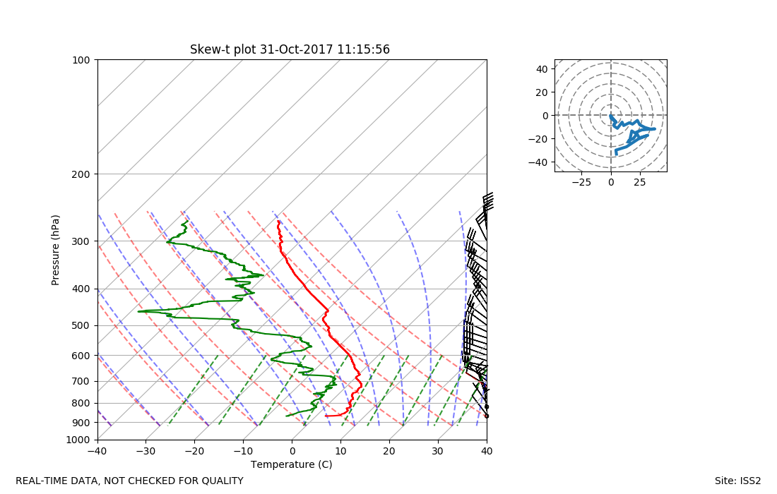
ISS2_Sonde.201710311115.skewT
|
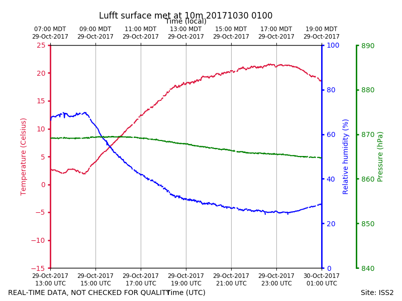
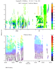
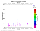
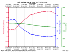
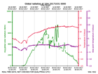
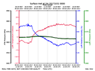
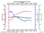
ISS2_Surface10m.201710300100.pt...
|
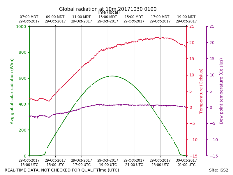
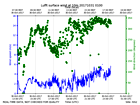
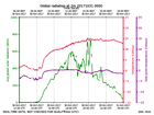
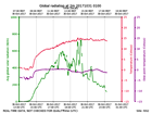
ISS2_Surface10m.201710300100.ra...
|
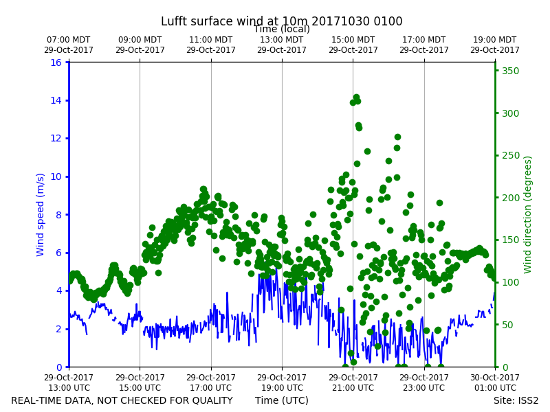
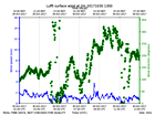
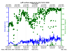
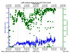
ISS2_Surface10m.201710300100.wi...
|
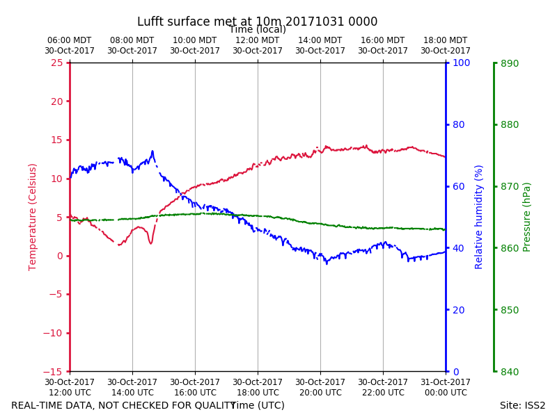
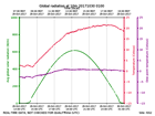
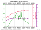
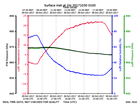
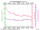
ISS2_Surface10m.201710301200.pt...
|
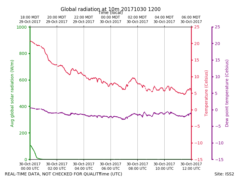
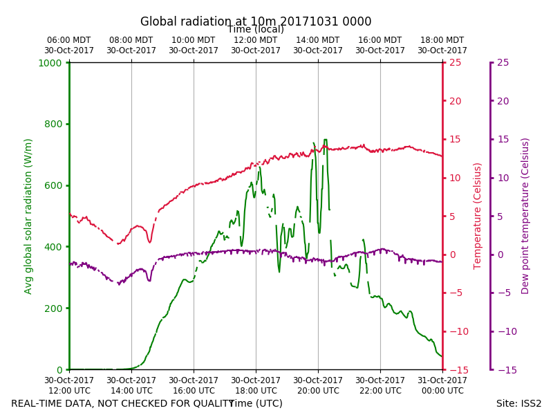
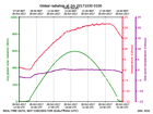
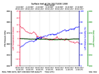
ISS2_Surface10m.201710301200.ra...
|
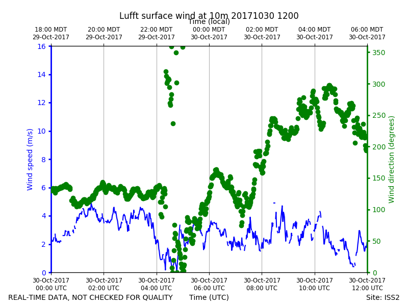
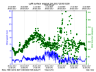
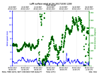
ISS2_Surface10m.201710301200.wi...
|
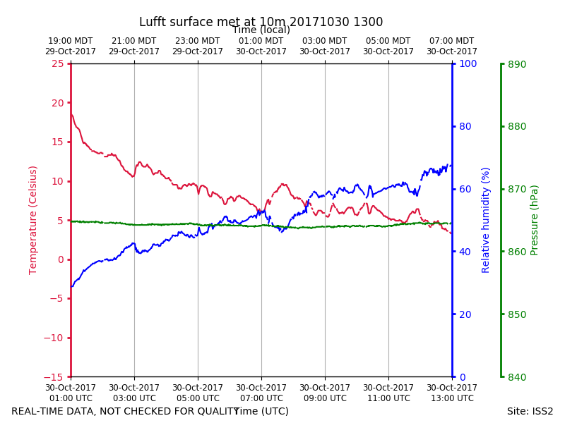
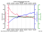
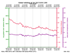
ISS2_Surface10m.201710301300.pt...
|
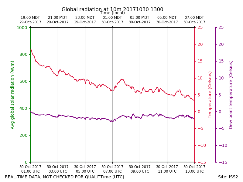
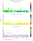
ISS2_Surface10m.201710301300.ra...
|
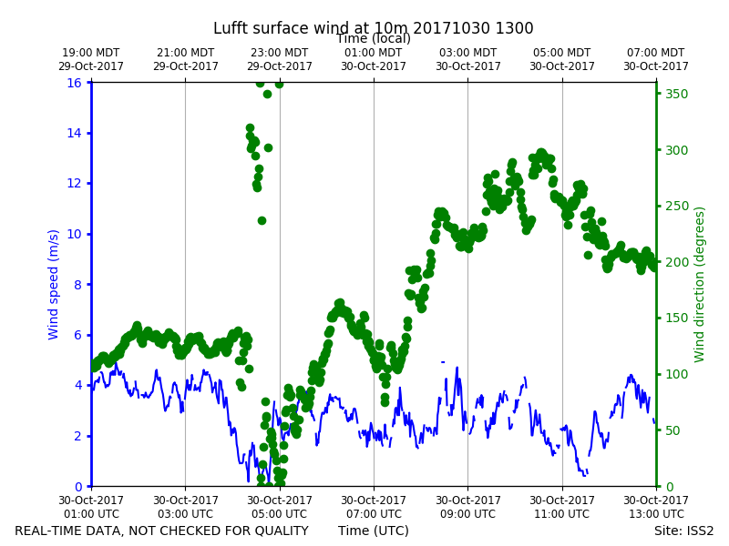
ISS2_Surface10m.201710301300.wi...
|
ISS2_Surface10m.201710310000.pt...
|
ISS2_Surface10m.201710310000.ra...
|
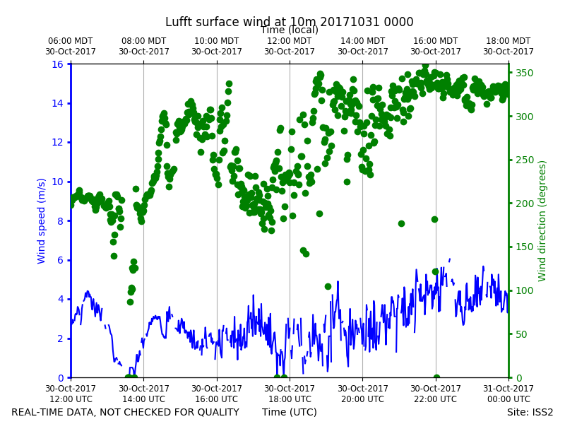
ISS2_Surface10m.201710310000.wi...

|
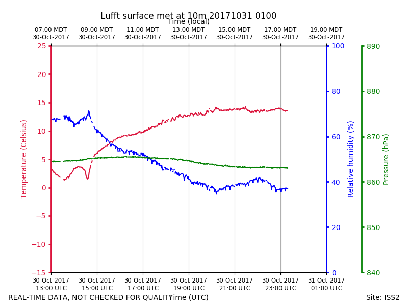
ISS2_Surface10m.201710310100.pt...
|
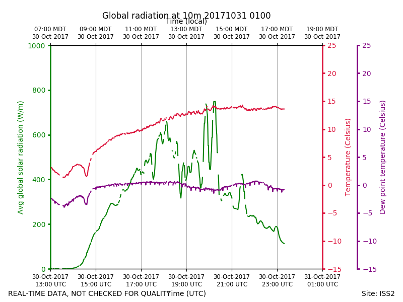
ISS2_Surface10m.201710310100.ra...
|
ISS2_Surface10m.201710310100.wi...
|
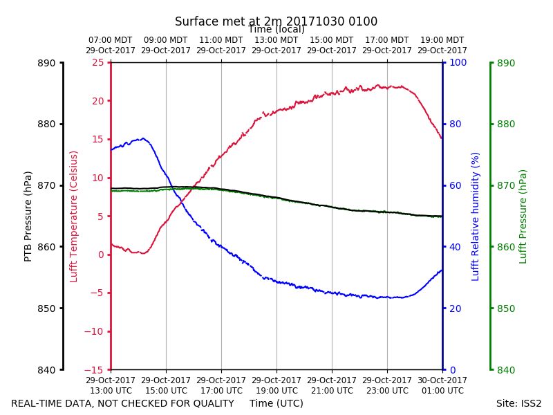
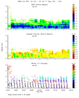
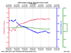
ISS2_Surface2m.201710300100.pth
|
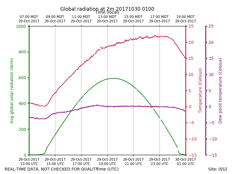
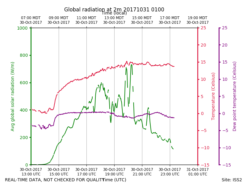
ISS2_Surface2m.201710300100.rad...
|
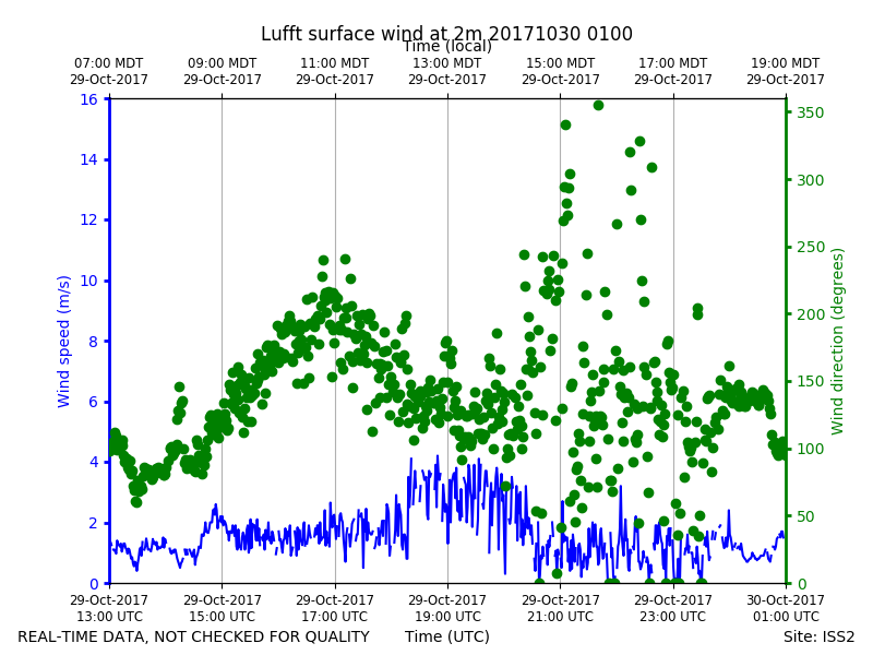
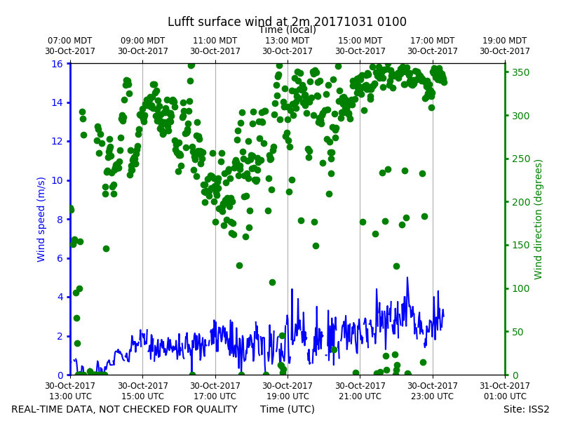
ISS2_Surface2m.201710300100.win...
|
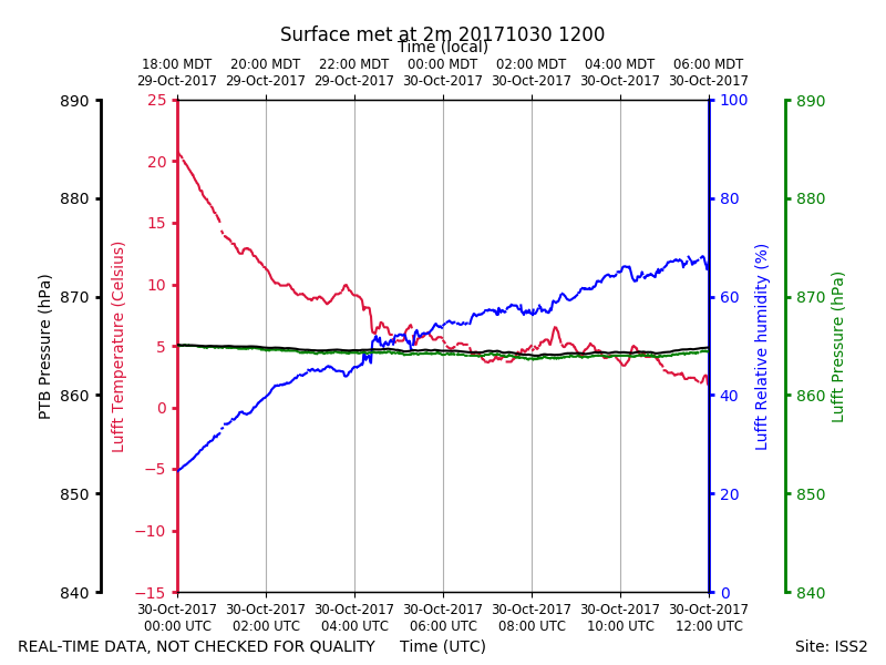
ISS2_Surface2m.201710301200.pth
|
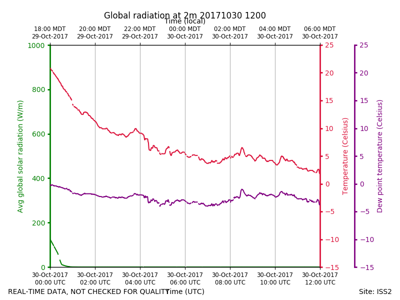
ISS2_Surface2m.201710301200.rad...
|
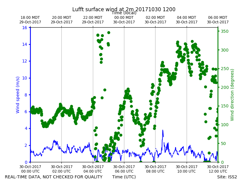
ISS2_Surface2m.201710301200.win...
|
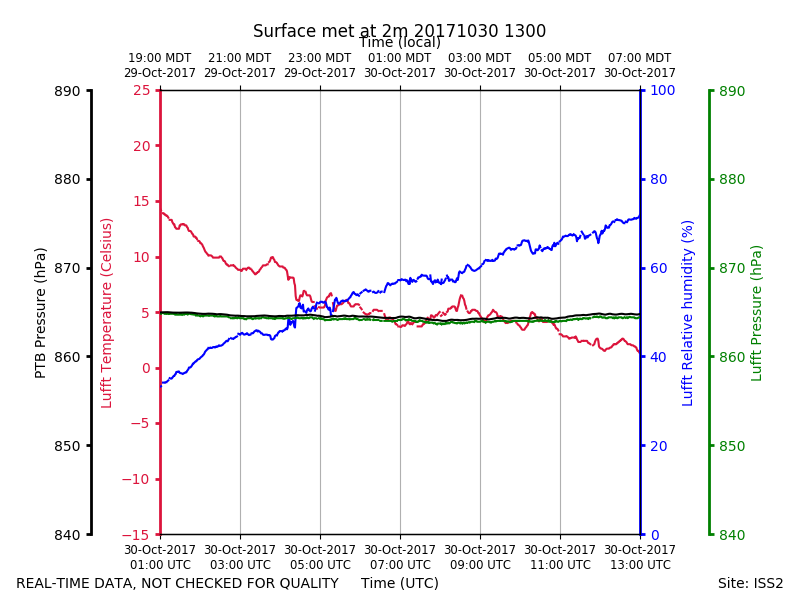
ISS2_Surface2m.201710301300.pth
|
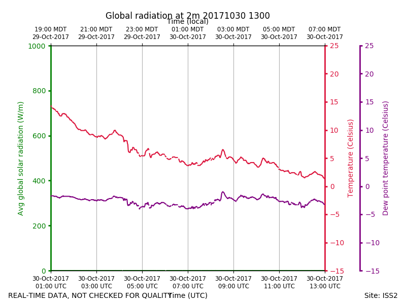
ISS2_Surface2m.201710301300.rad...
|
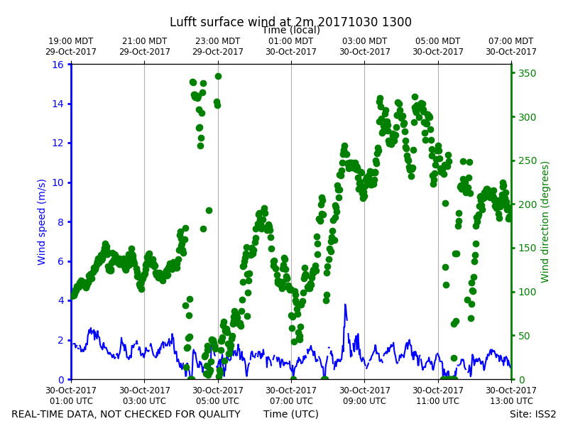
ISS2_Surface2m.201710301300.win...
|
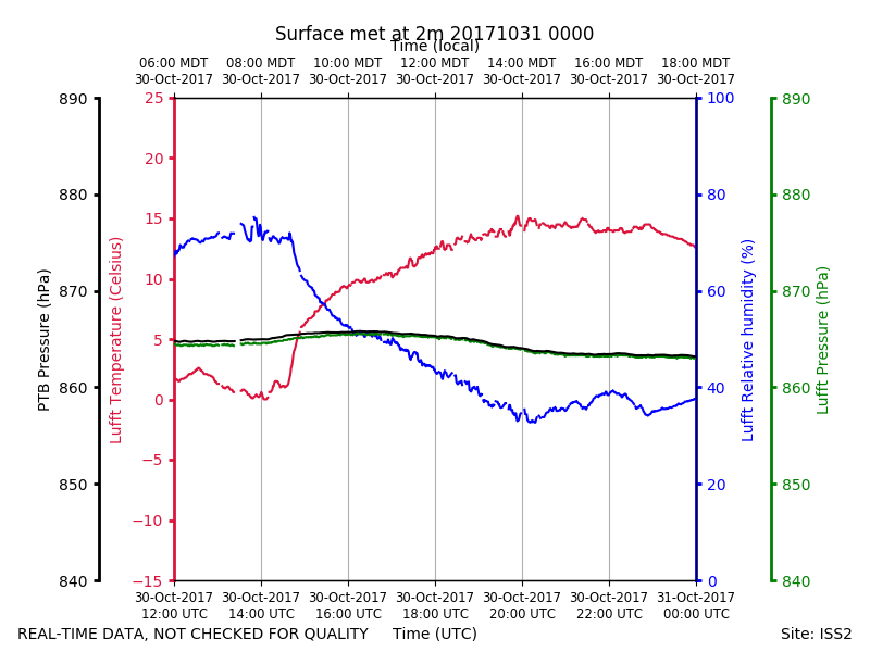
ISS2_Surface2m.201710310000.pth
|
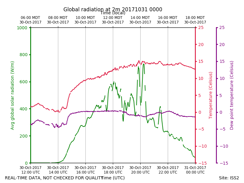
ISS2_Surface2m.201710310000.rad...
|
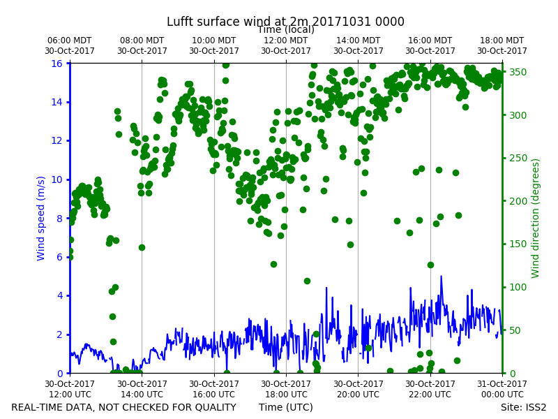
ISS2_Surface2m.201710310000.win...
|
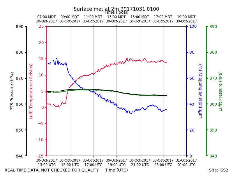
ISS2_Surface2m.201710310100.pth
|
ISS2_Surface2m.201710310100.rad...
|
ISS2_Surface2m.201710310100.win...
|