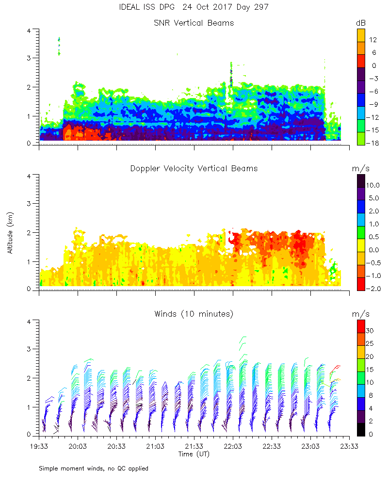
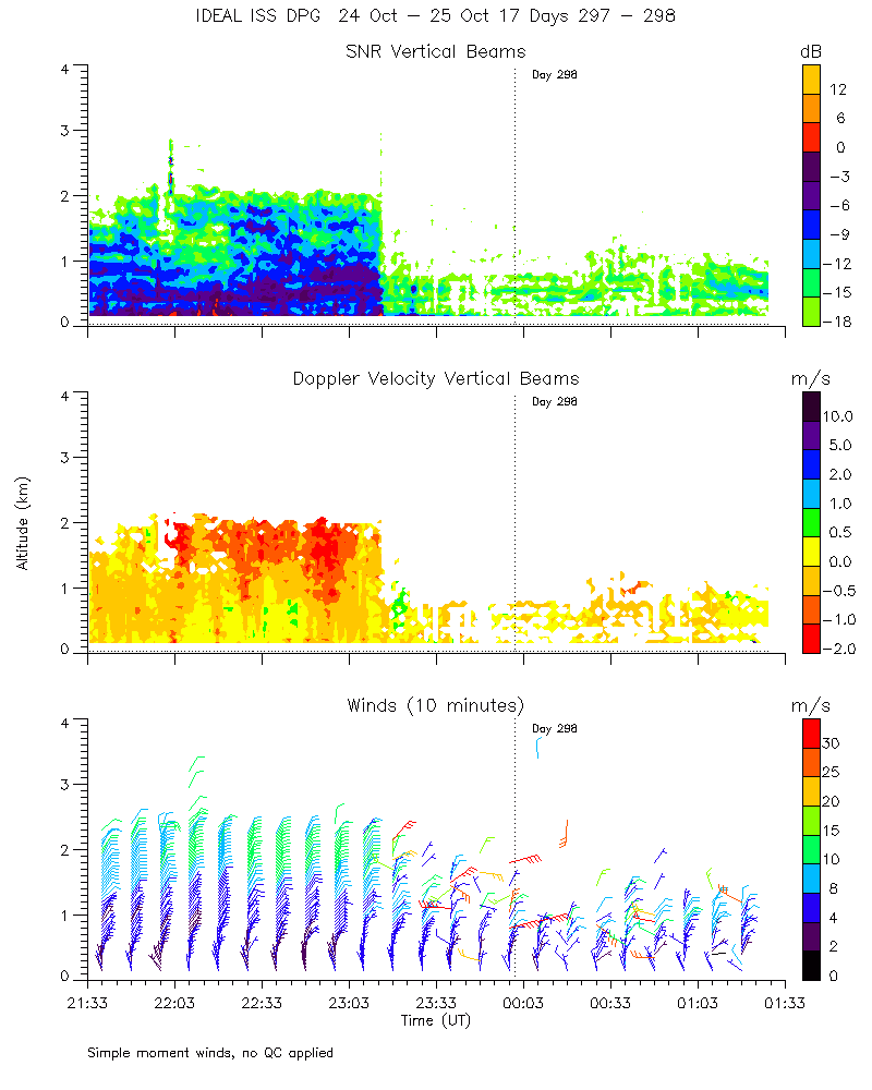
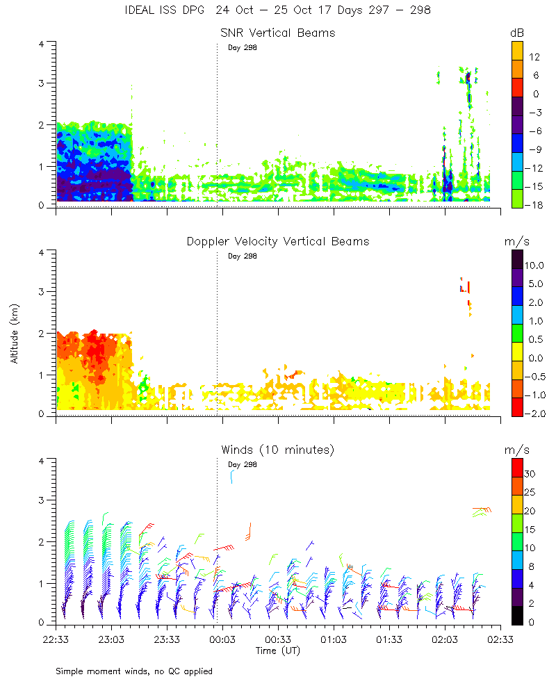
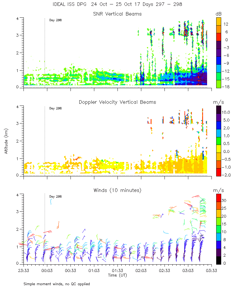
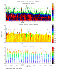
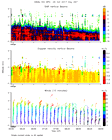
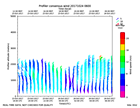
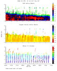
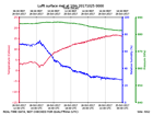
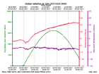
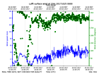
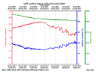
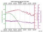
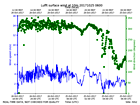
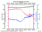
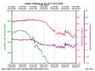
Click on the thumbnail image to view the full-size image.
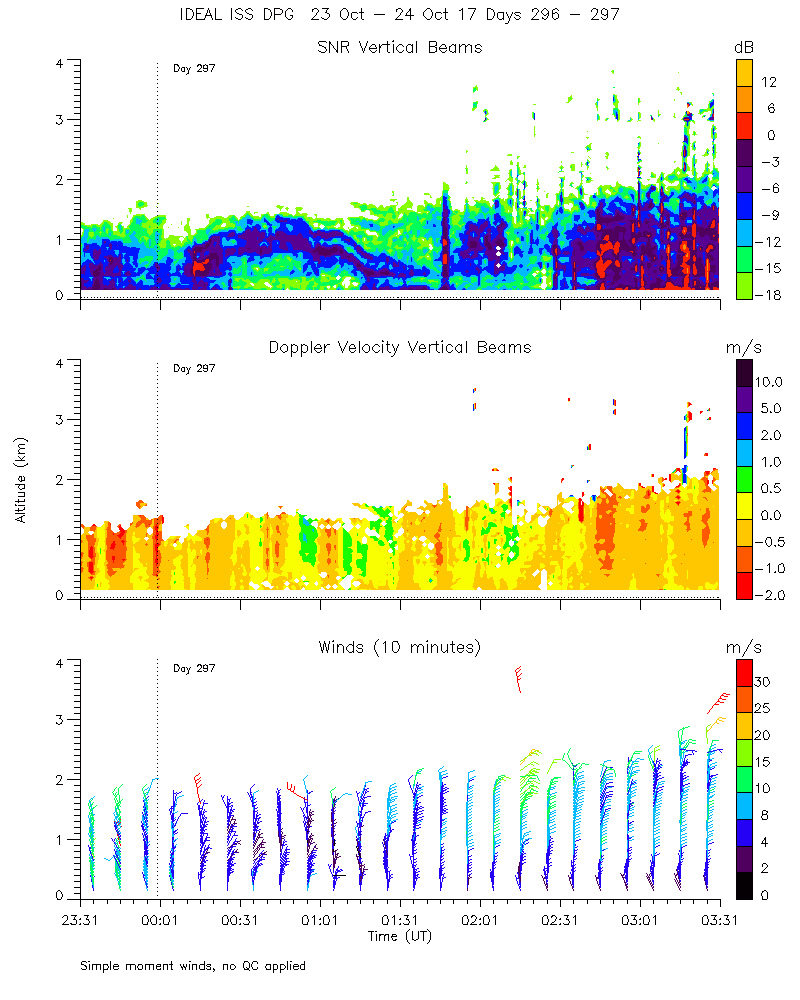
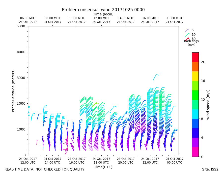
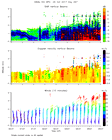
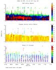
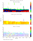
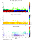
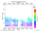
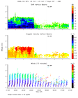
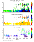
ISS2_Profiler.201710240000.mome...
|
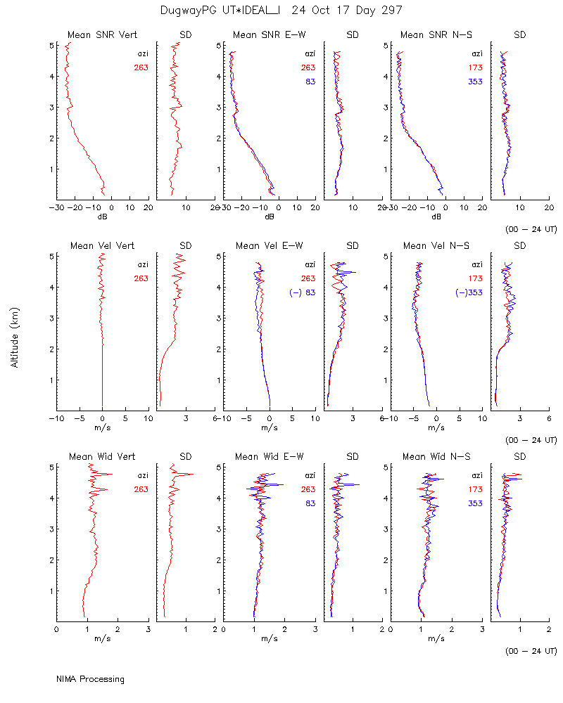
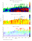
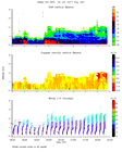
ISS2_Profiler.201710240000.nima...

|
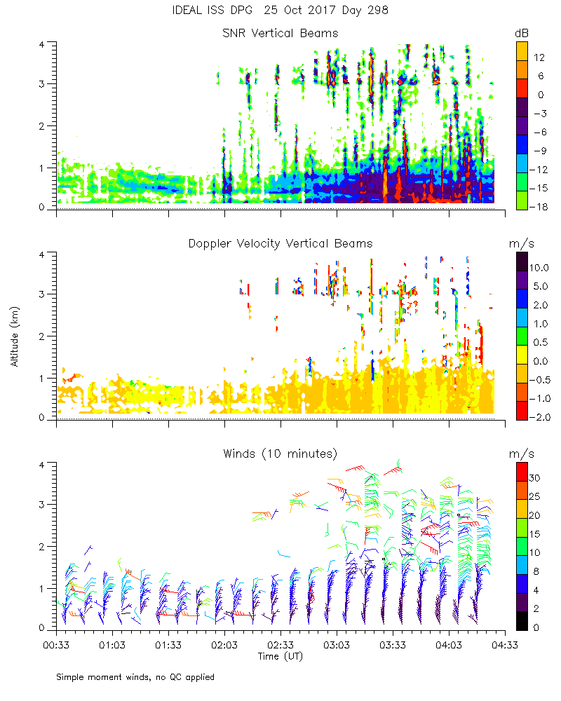
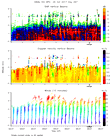
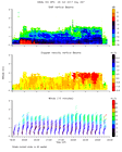
ISS2_Profiler.201710240000.nima...

|
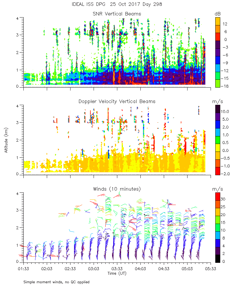
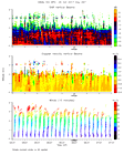
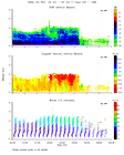
ISS2_Profiler.201710240000.nima...

|
ISS2_Profiler.201710240000.nima...
|
ISS2_Profiler.201710240000.snr_...
|
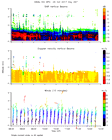
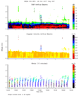
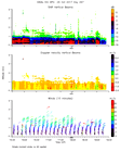
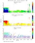
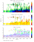
ISS2_Profiler.201710240100.mome...
|
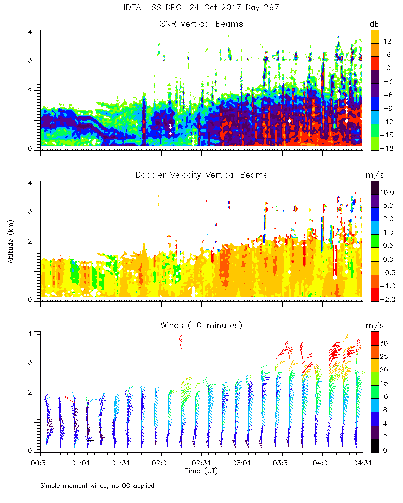
ISS2_Profiler.201710240200.mome...
|
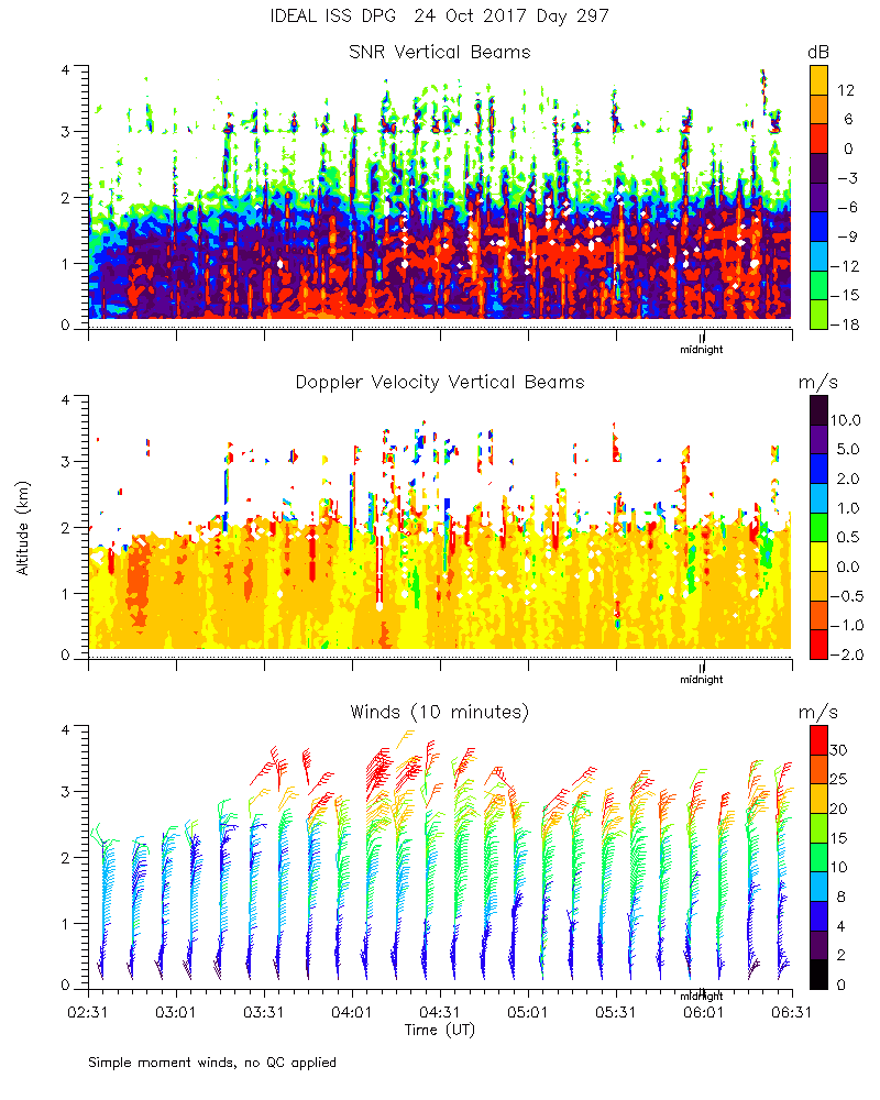
ISS2_Profiler.201710240300.mome...
|
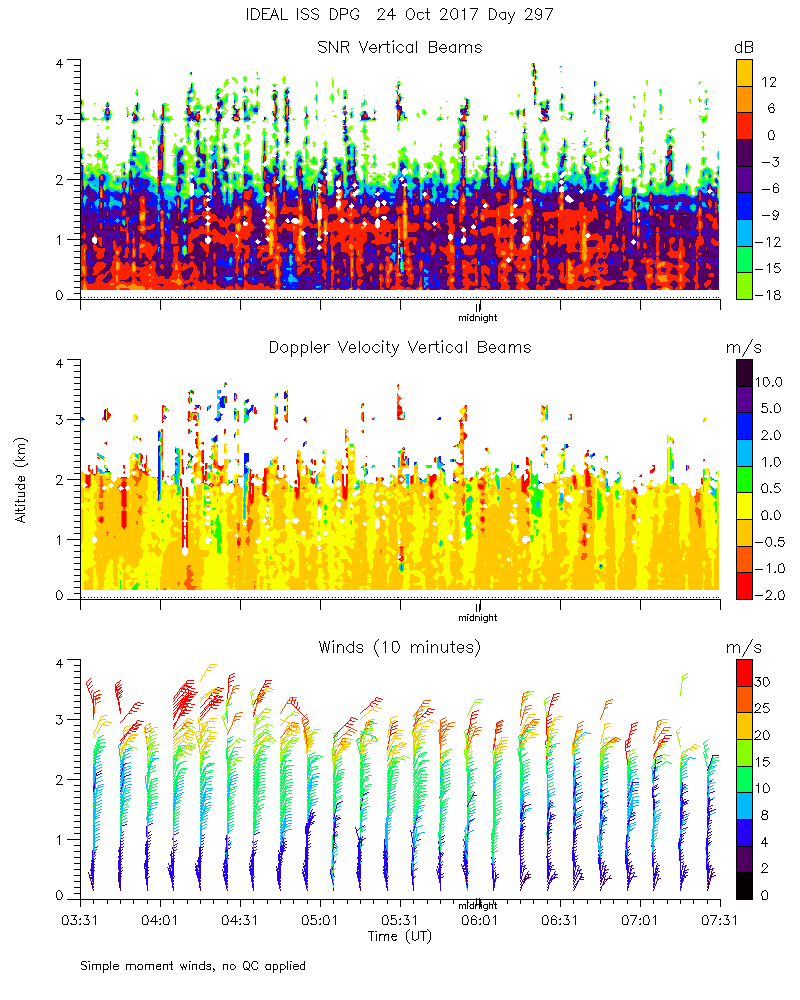
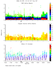
ISS2_Profiler.201710240400.mome...
|
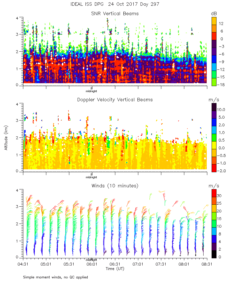
ISS2_Profiler.201710240500.mome...
|
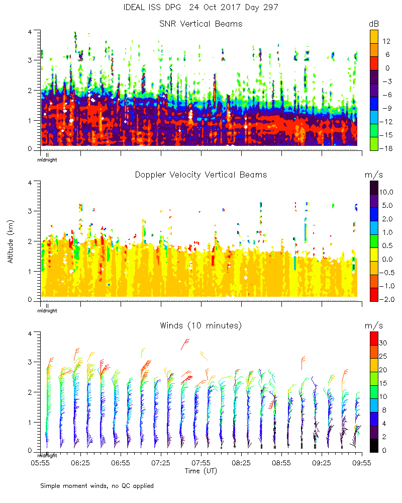
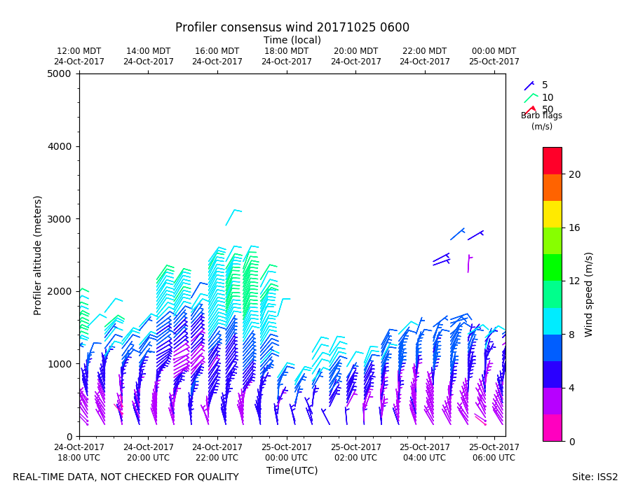
ISS2_Profiler.201710240600.mome...
|
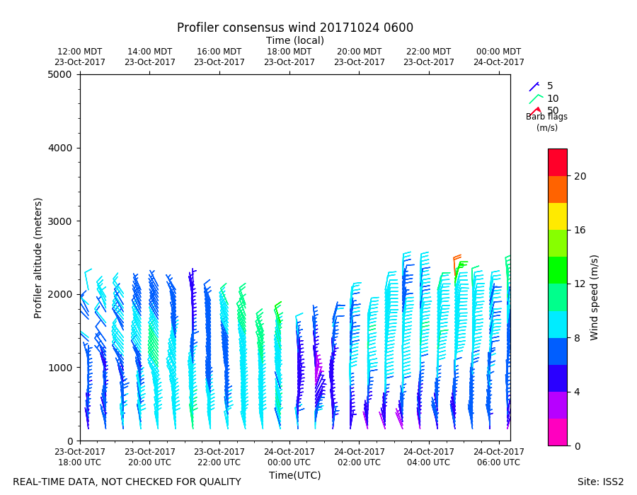
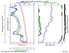
ISS2_Profiler.201710240600.wind...
|
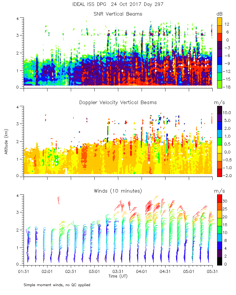
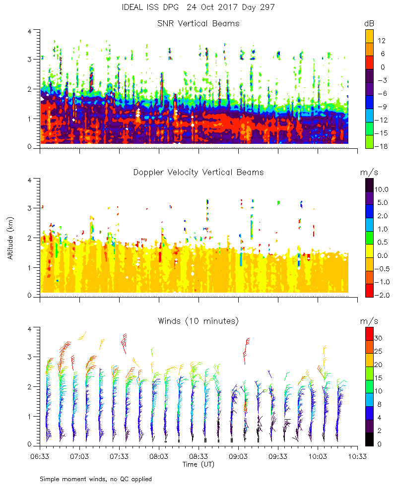
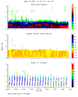
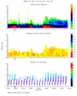
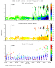
ISS2_Profiler.201710240700.mome...
|
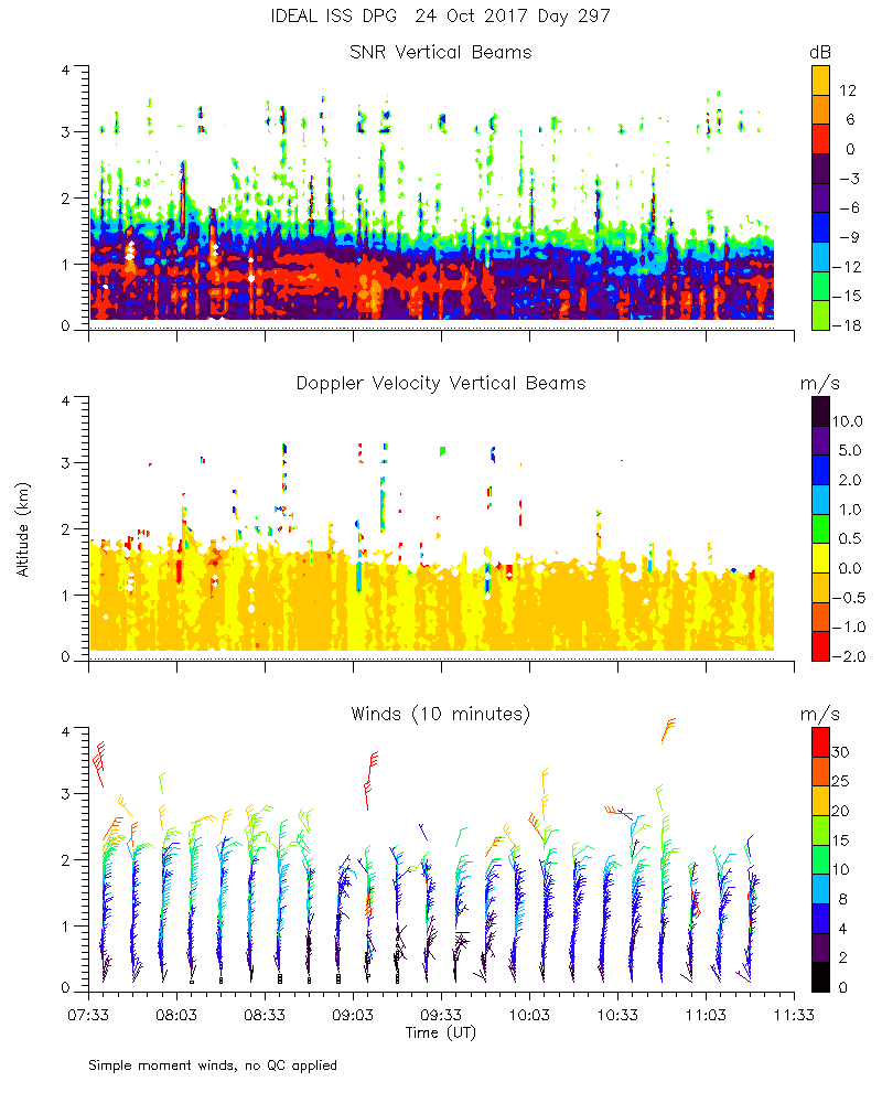
ISS2_Profiler.201710240800.mome...
|
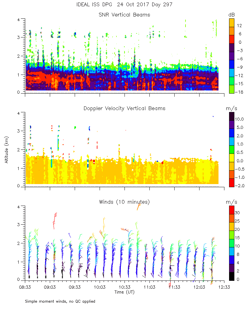
ISS2_Profiler.201710240900.mome...
|
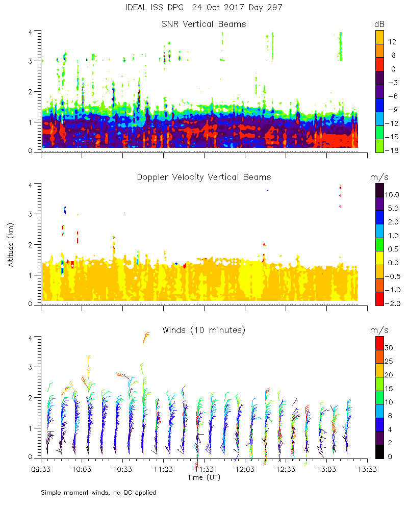
ISS2_Profiler.201710241000.mome...
|
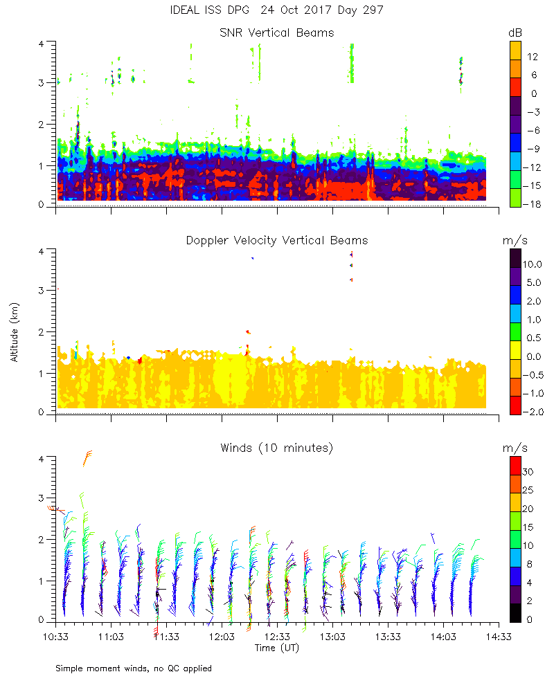
ISS2_Profiler.201710241100.mome...
|
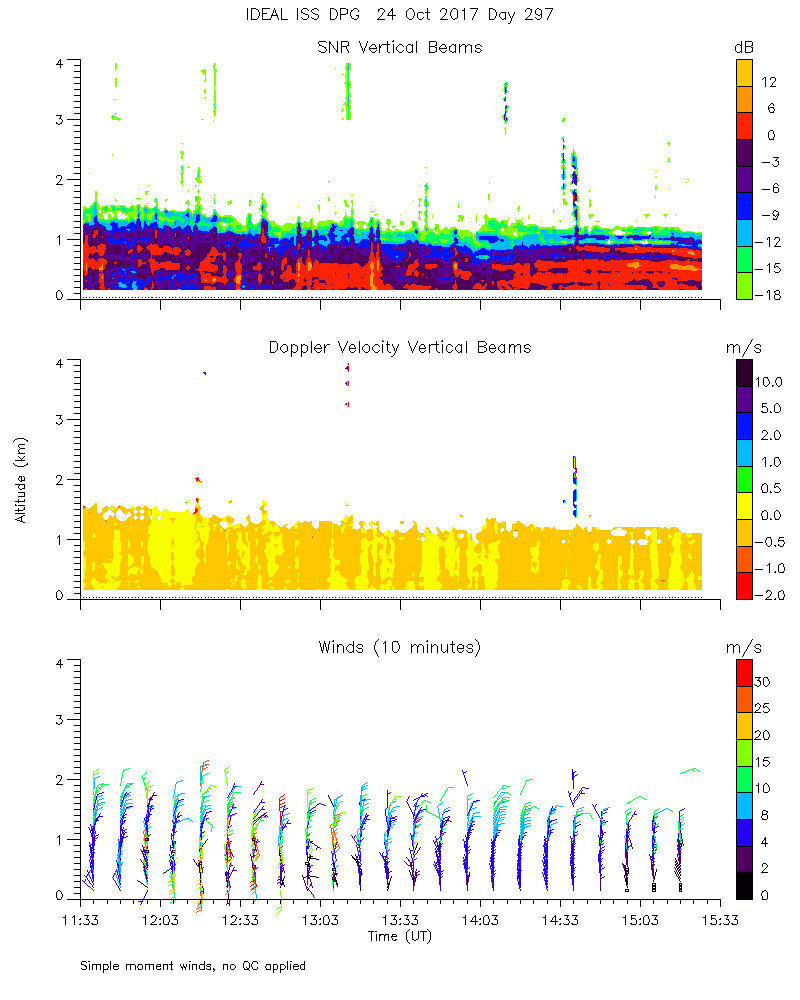
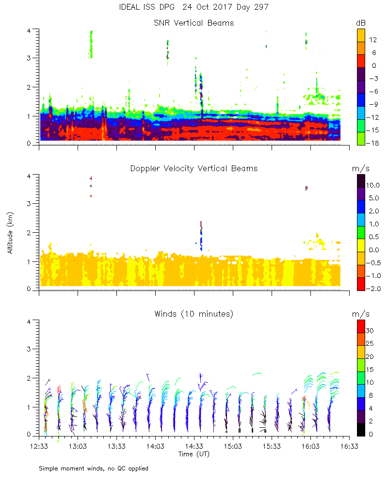
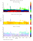
ISS2_Profiler.201710241200.mome...
|
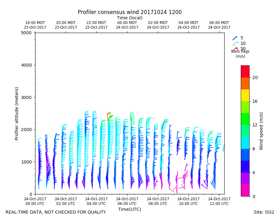
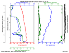
ISS2_Profiler.201710241200.wind...
|
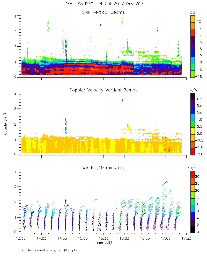
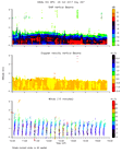
ISS2_Profiler.201710241300.mome...
|
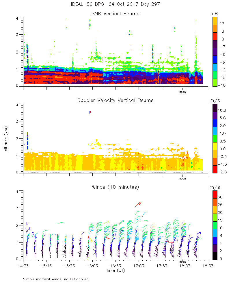
ISS2_Profiler.201710241400.mome...
|
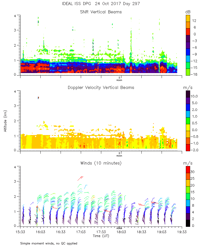
ISS2_Profiler.201710241500.mome...
|
ISS2_Profiler.201710241600.mome...
|
ISS2_Profiler.201710241700.mome...
|
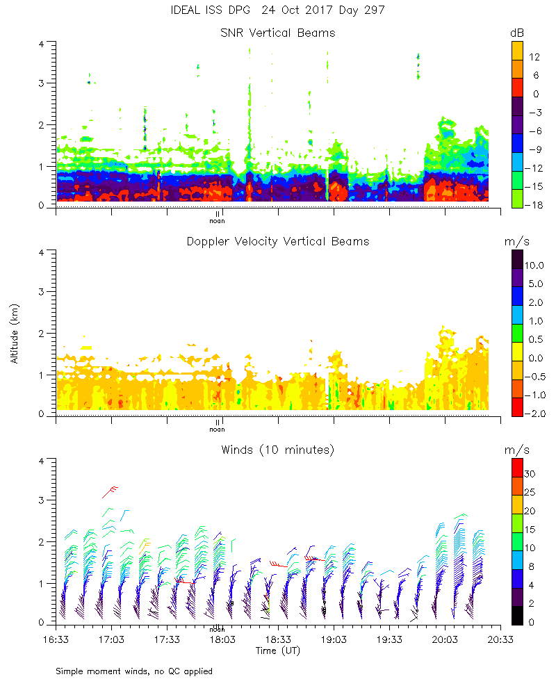
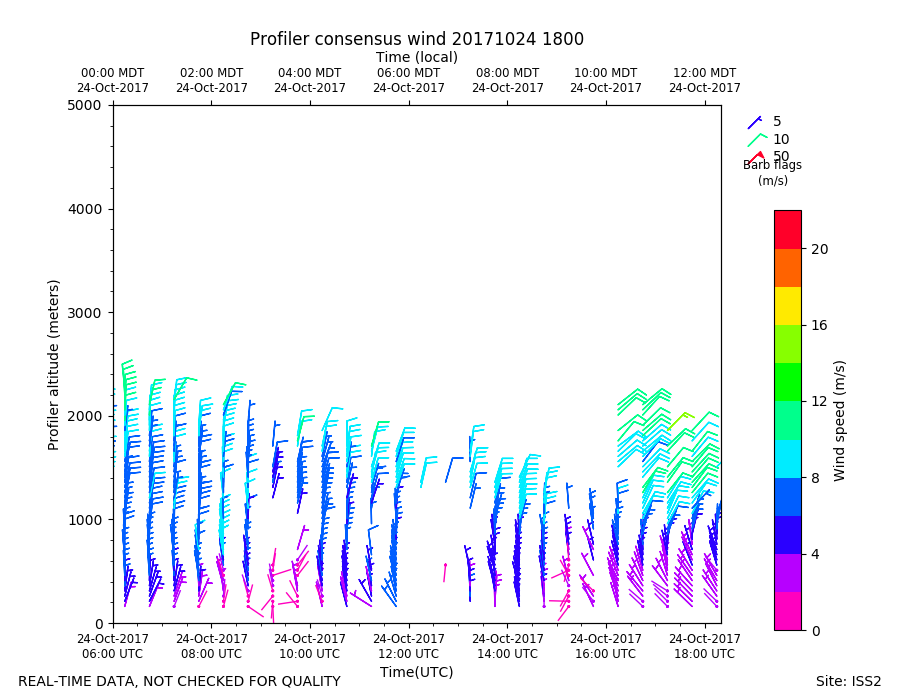
ISS2_Profiler.201710241800.mome...
|
ISS2_Profiler.201710241800.wind...
|
ISS2_Profiler.201710241900.mome...
|
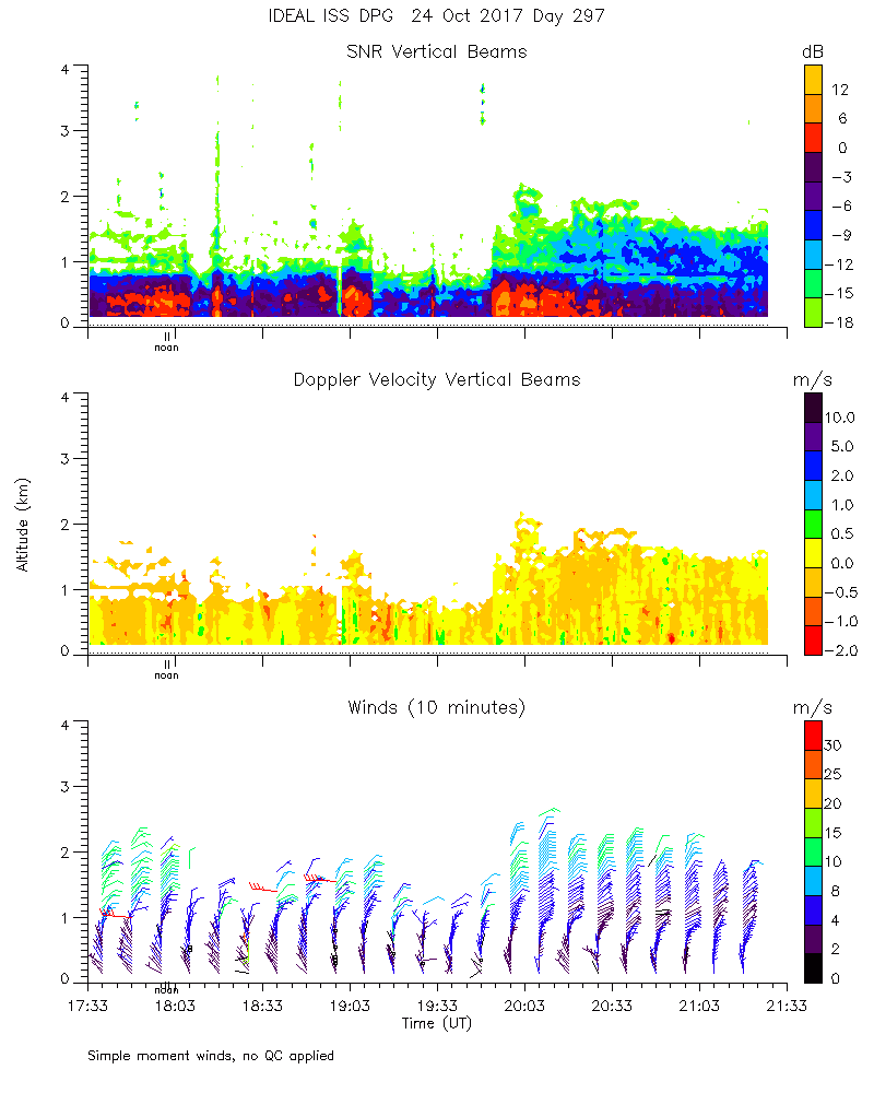
ISS2_Profiler.201710242000.mome...
|
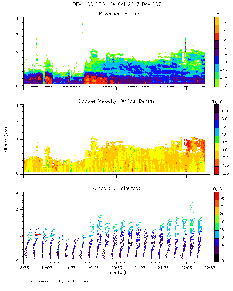
ISS2_Profiler.201710242100.mome...
|
ISS2_Profiler.201710242200.mome...
|
ISS2_Profiler.201710242300.mome...
|
ISS2_Profiler.201710250000.mome...
|
ISS2_Profiler.201710250000.wind...
|
ISS2_Profiler.201710250100.mome...
|
ISS2_Profiler.201710250200.mome...
|
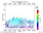
ISS2_Profiler.201710250600.wind...
|
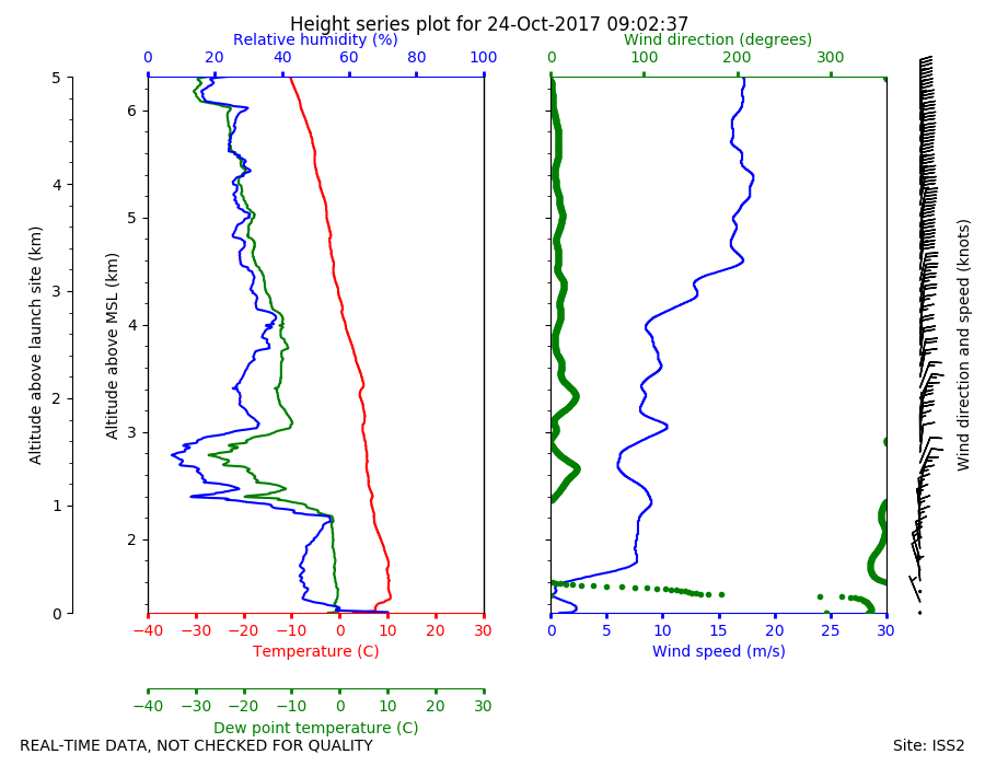
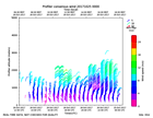
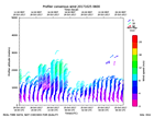
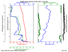
ISS2_Sonde.201710240902.height_...

|
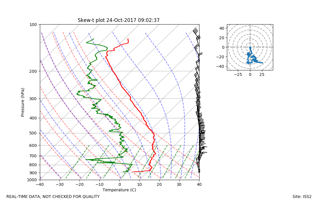
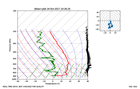
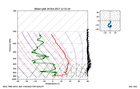
ISS2_Sonde.201710240902.skewT

|
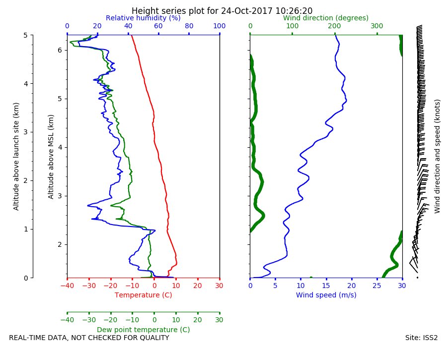
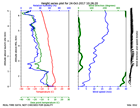
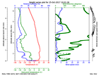
ISS2_Sonde.201710241026.height_...
|
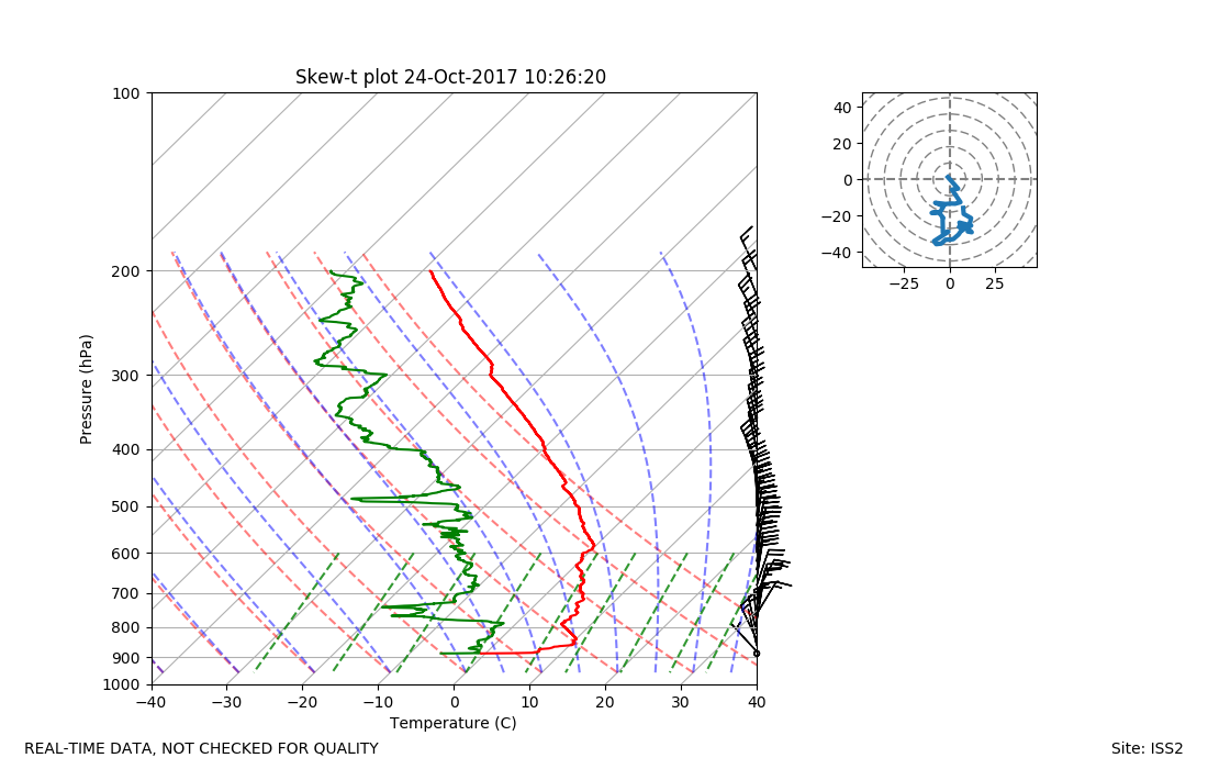
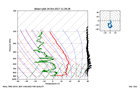
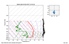
ISS2_Sonde.201710241026.skewT
|
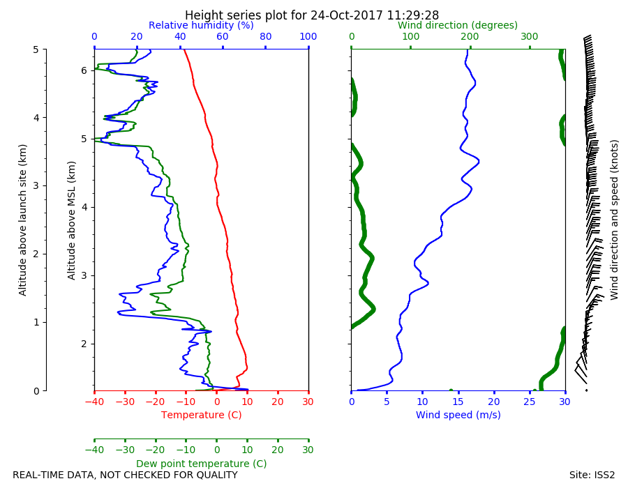
ISS2_Sonde.201710241129.height_...
|
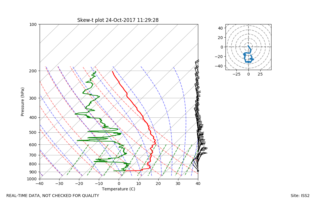
ISS2_Sonde.201710241129.skewT
|
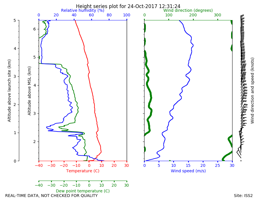
ISS2_Sonde.201710241231.height_...
|
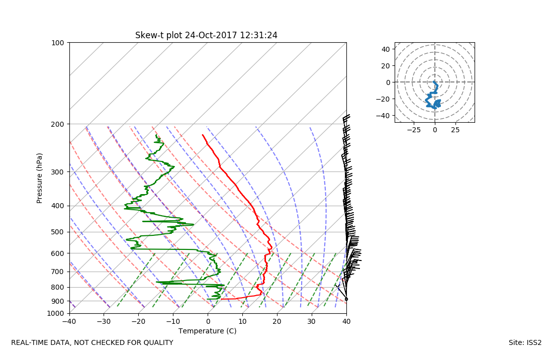
ISS2_Sonde.201710241231.skewT
|
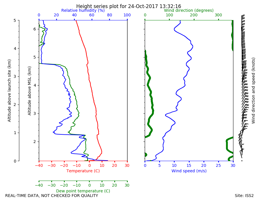
ISS2_Sonde.201710241332.height_...
|
ISS2_Sonde.201710241332.skewT
|
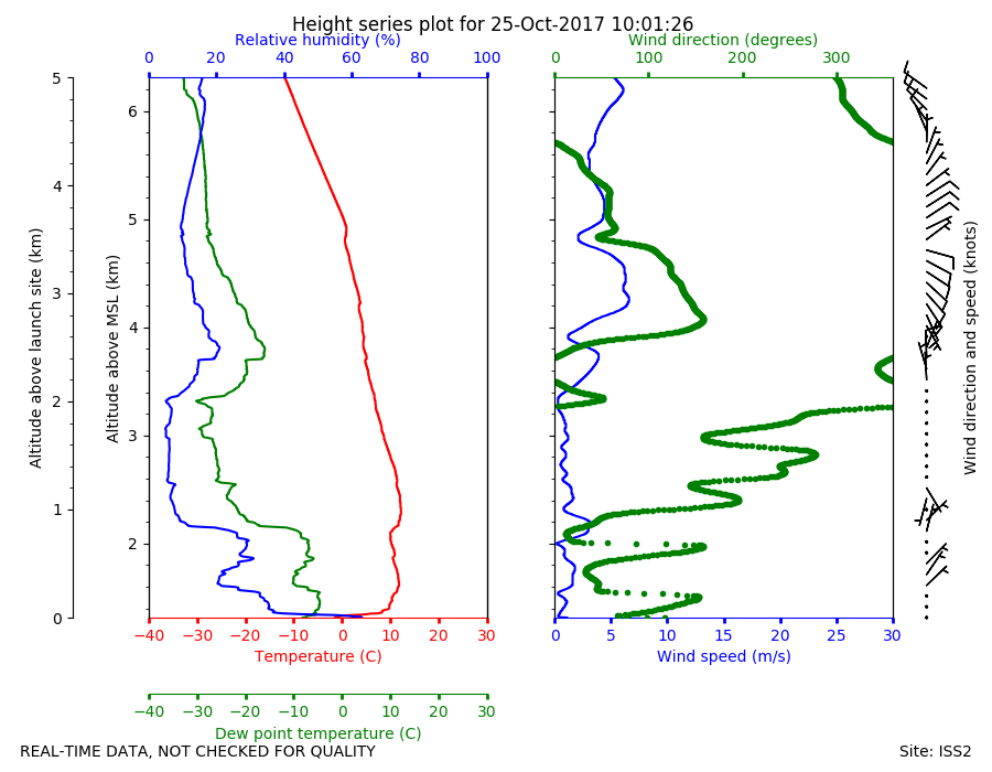
ISS2_Sonde.201710251001.height_...
|
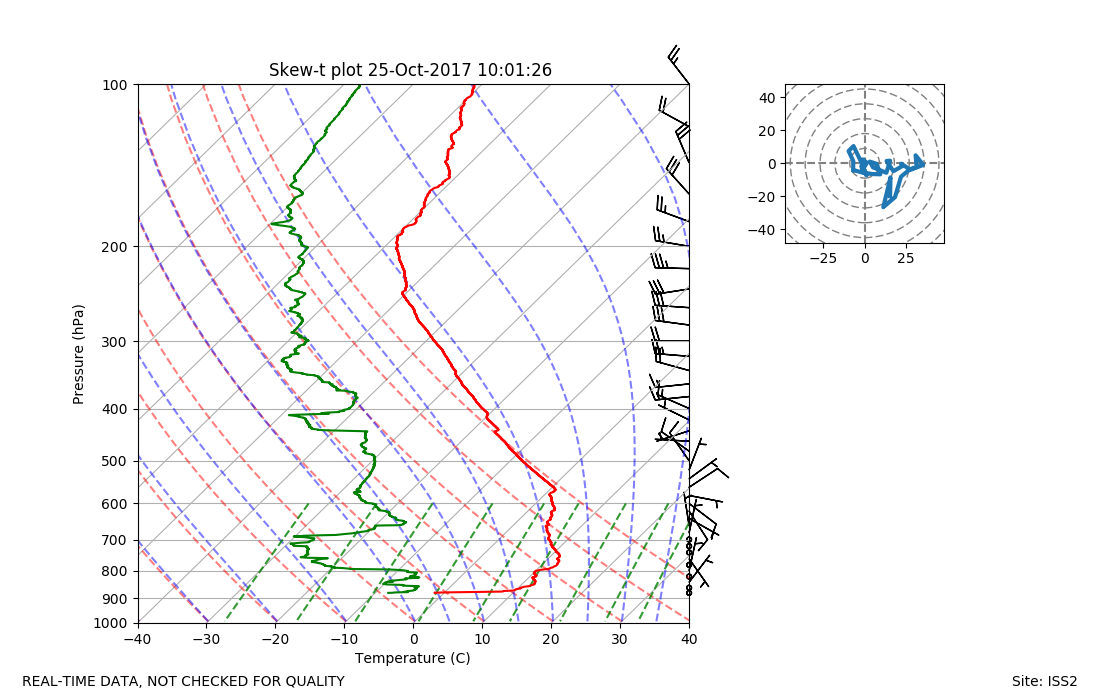
ISS2_Sonde.201710251001.skewT

|
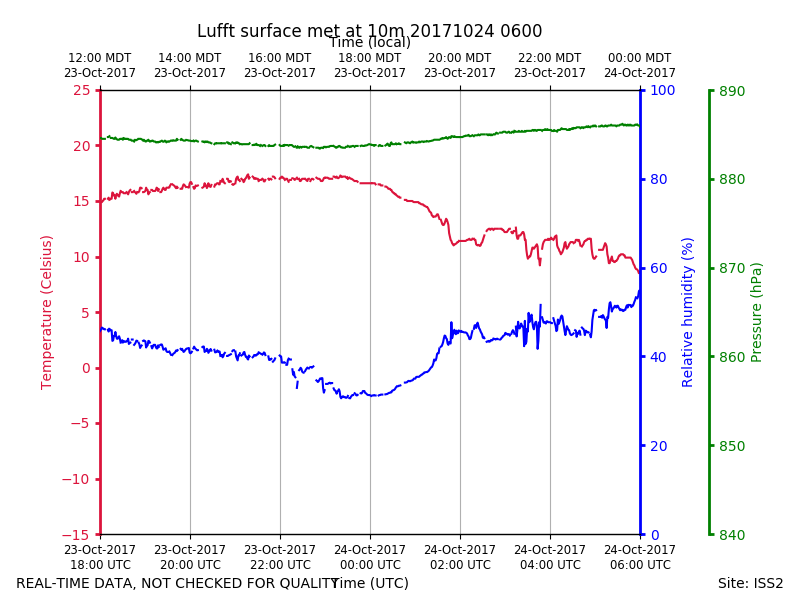
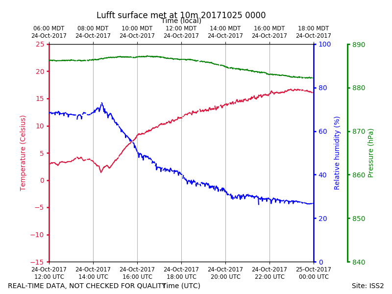
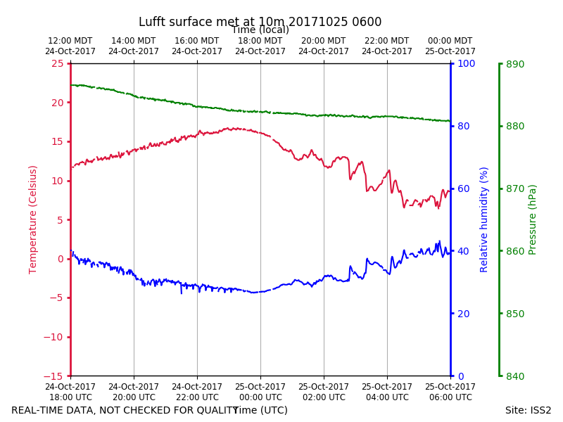
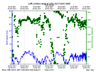
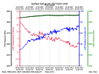
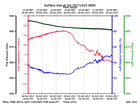
ISS2_Surface10m.201710240600.pt...
|
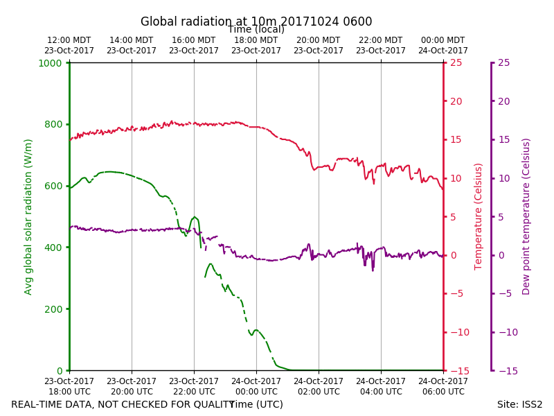
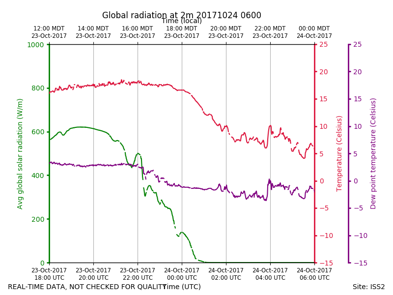
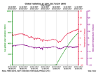
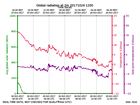
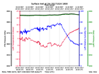
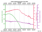
ISS2_Surface10m.201710240600.ra...

|
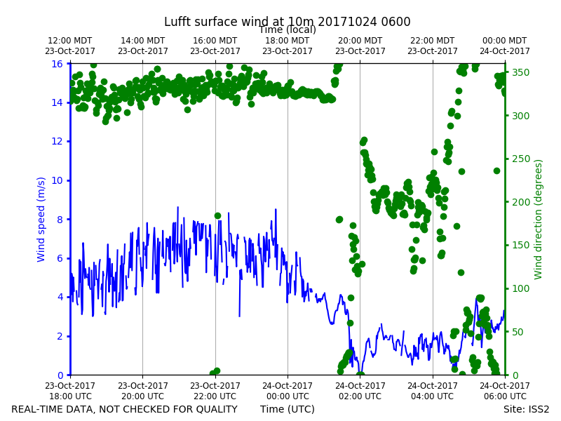
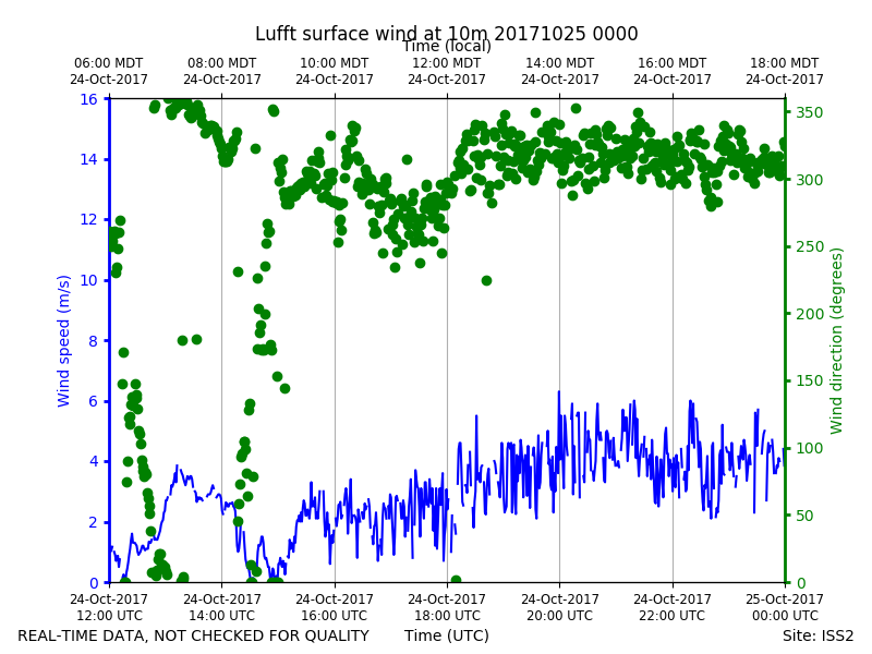
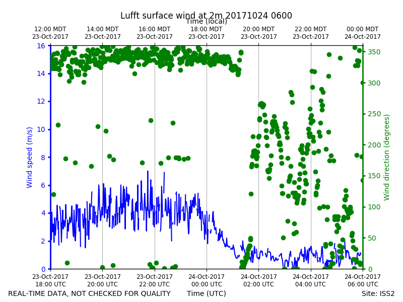
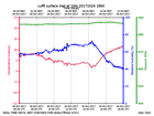
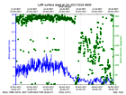
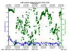
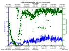
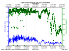
ISS2_Surface10m.201710240600.wi...
|
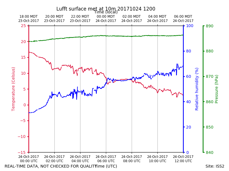
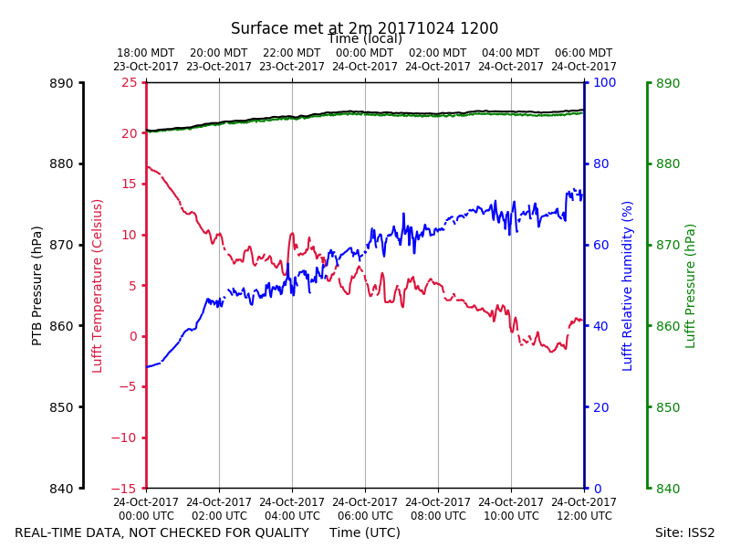
ISS2_Surface10m.201710241200.pt...
|
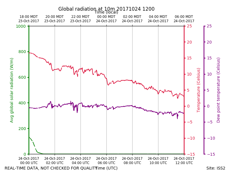
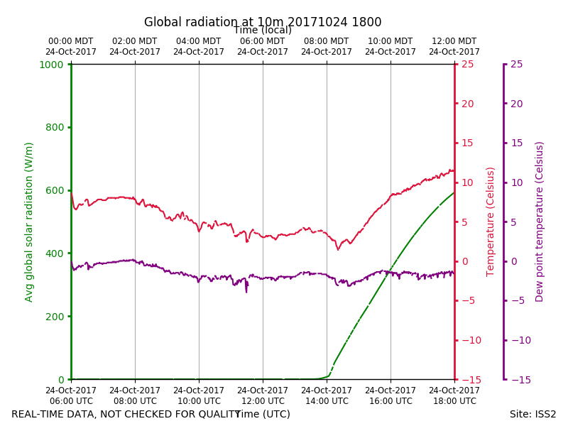
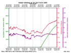
ISS2_Surface10m.201710241200.ra...
|
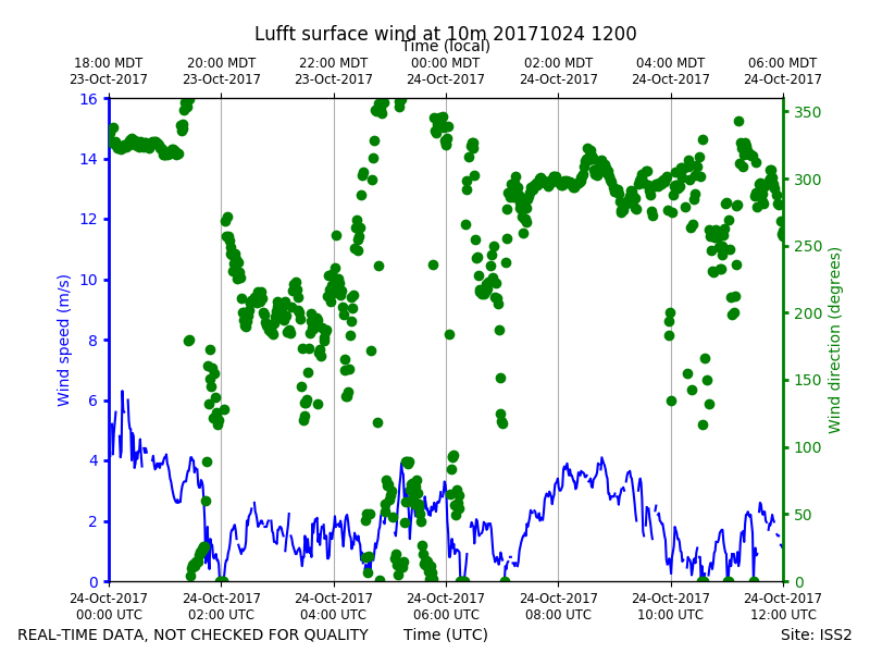
ISS2_Surface10m.201710241200.wi...
|
ISS2_Surface10m.201710241800.pt...
|
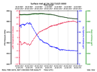
ISS2_Surface10m.201710241800.ra...
|
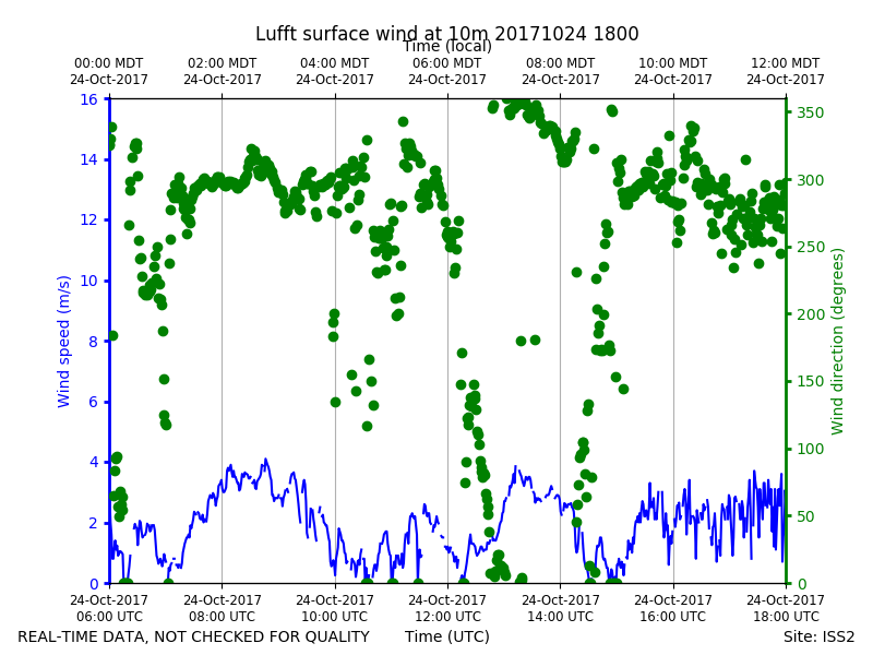
ISS2_Surface10m.201710241800.wi...
|
ISS2_Surface10m.201710250000.pt...
|
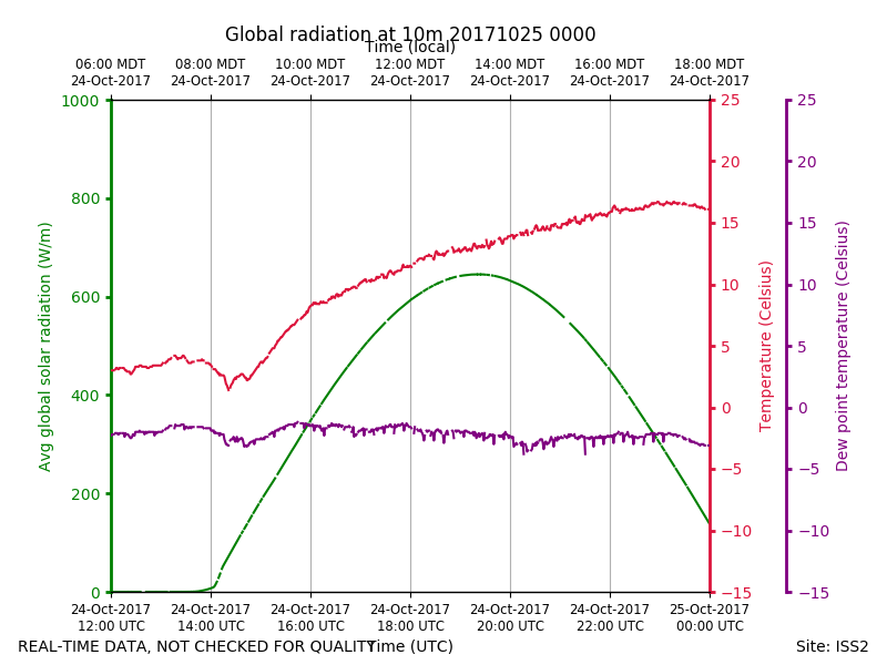
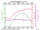
ISS2_Surface10m.201710250000.ra...
|
ISS2_Surface10m.201710250000.wi...
|
ISS2_Surface10m.201710250600.pt...
|
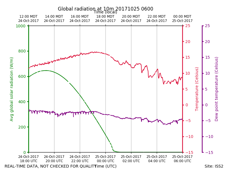
ISS2_Surface10m.201710250600.ra...
|
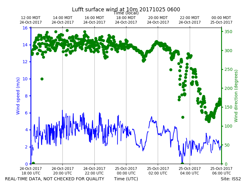
ISS2_Surface10m.201710250600.wi...
|
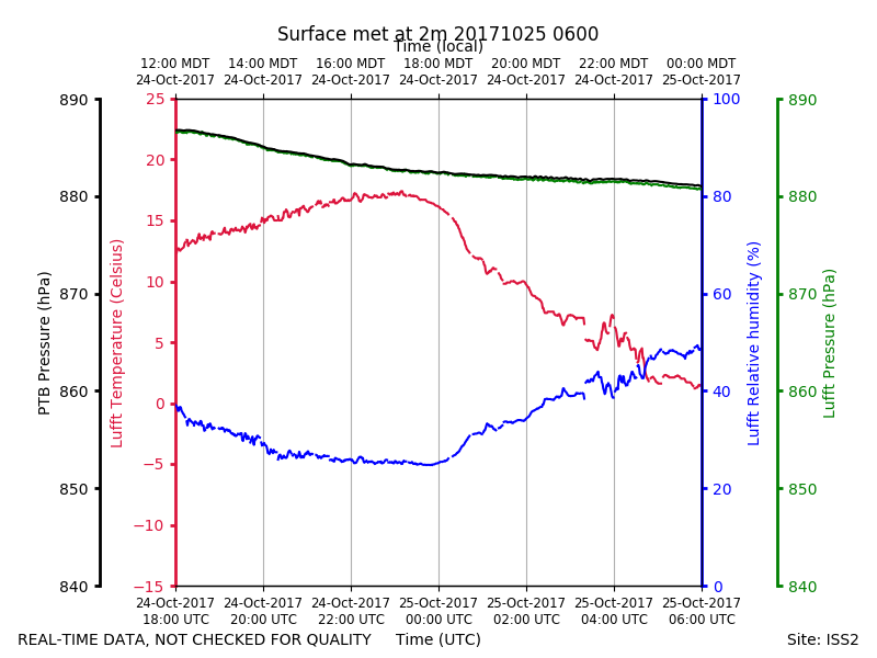
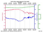
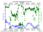
ISS2_Surface2m.201710240600.pth
|
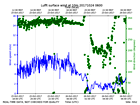
ISS2_Surface2m.201710240600.rad...
|
ISS2_Surface2m.201710240600.win...
|
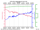
ISS2_Surface2m.201710241200.pth
|
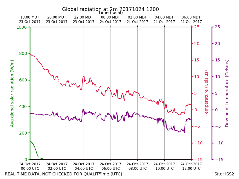
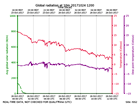
ISS2_Surface2m.201710241200.rad...
|
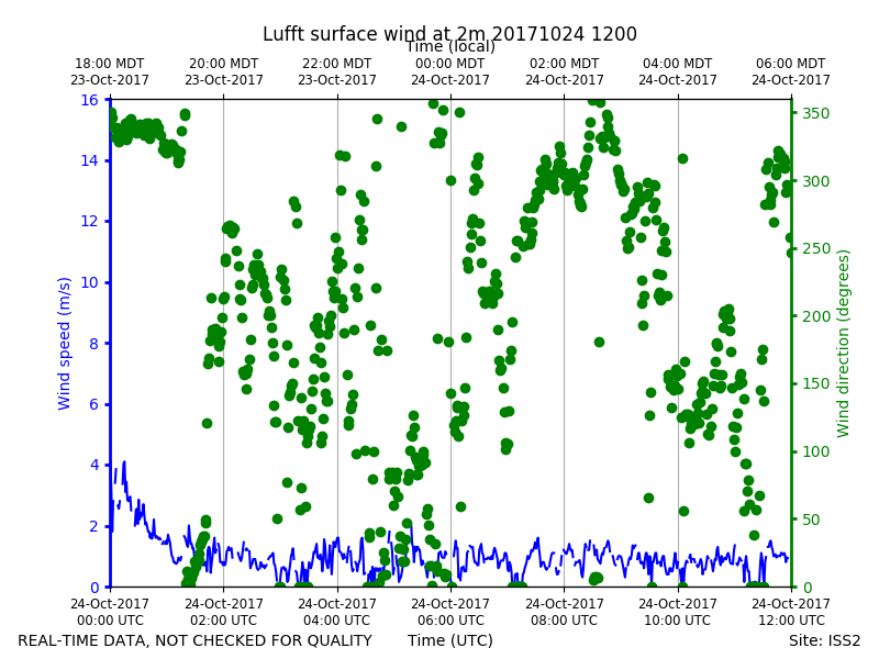
ISS2_Surface2m.201710241200.win...
|
ISS2_Surface2m.201710241800.pth
|
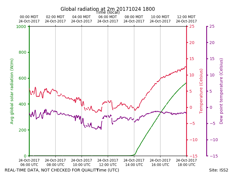
ISS2_Surface2m.201710241800.rad...
|
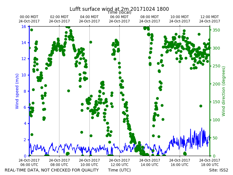
ISS2_Surface2m.201710241800.win...

|
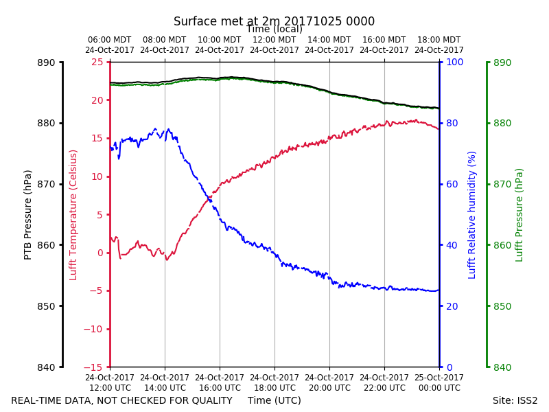
ISS2_Surface2m.201710250000.pth
|
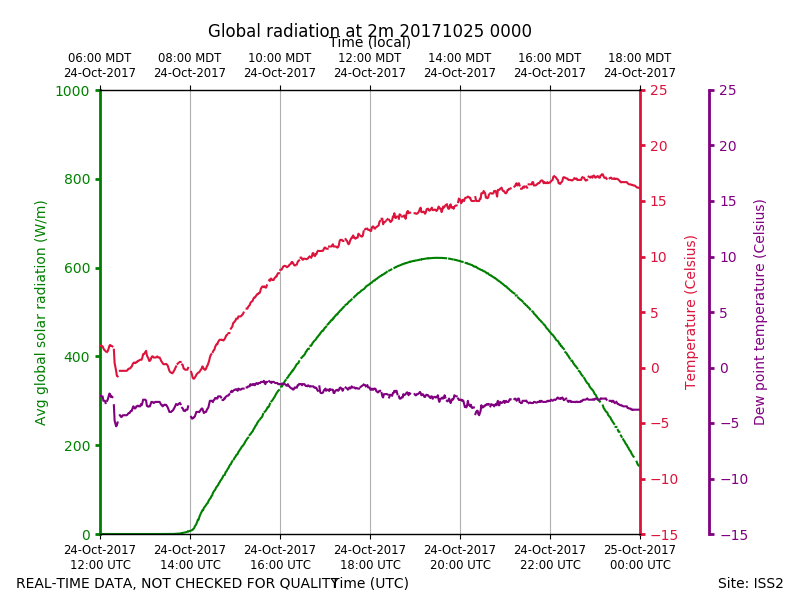
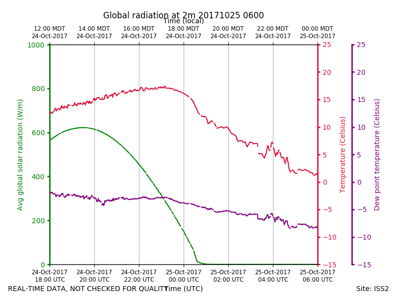
ISS2_Surface2m.201710250000.rad...
|
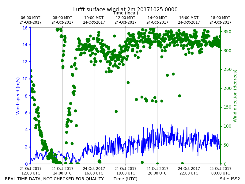
ISS2_Surface2m.201710250000.win...
|
ISS2_Surface2m.201710250600.pth
|
ISS2_Surface2m.201710250600.rad...
|
ISS2_Surface2m.201710250600.win...
|