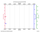
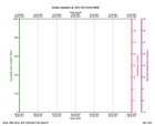
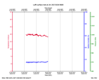
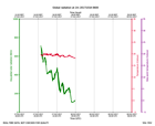
Click on the thumbnail image to view the full-size image.
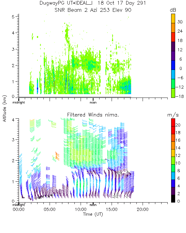
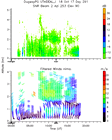
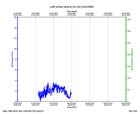
ISS2_Profiler.201710180000.nima...

|
ISS2_Profiler.201710180000.nima...

|
ISS2_Profiler.201710180000.nima...

|
ISS2_Profiler.201710180000.nima...
|
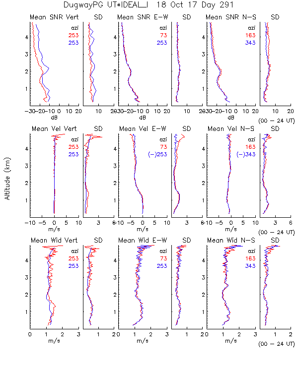
ISS2_Profiler.201710180000.snr_...
|
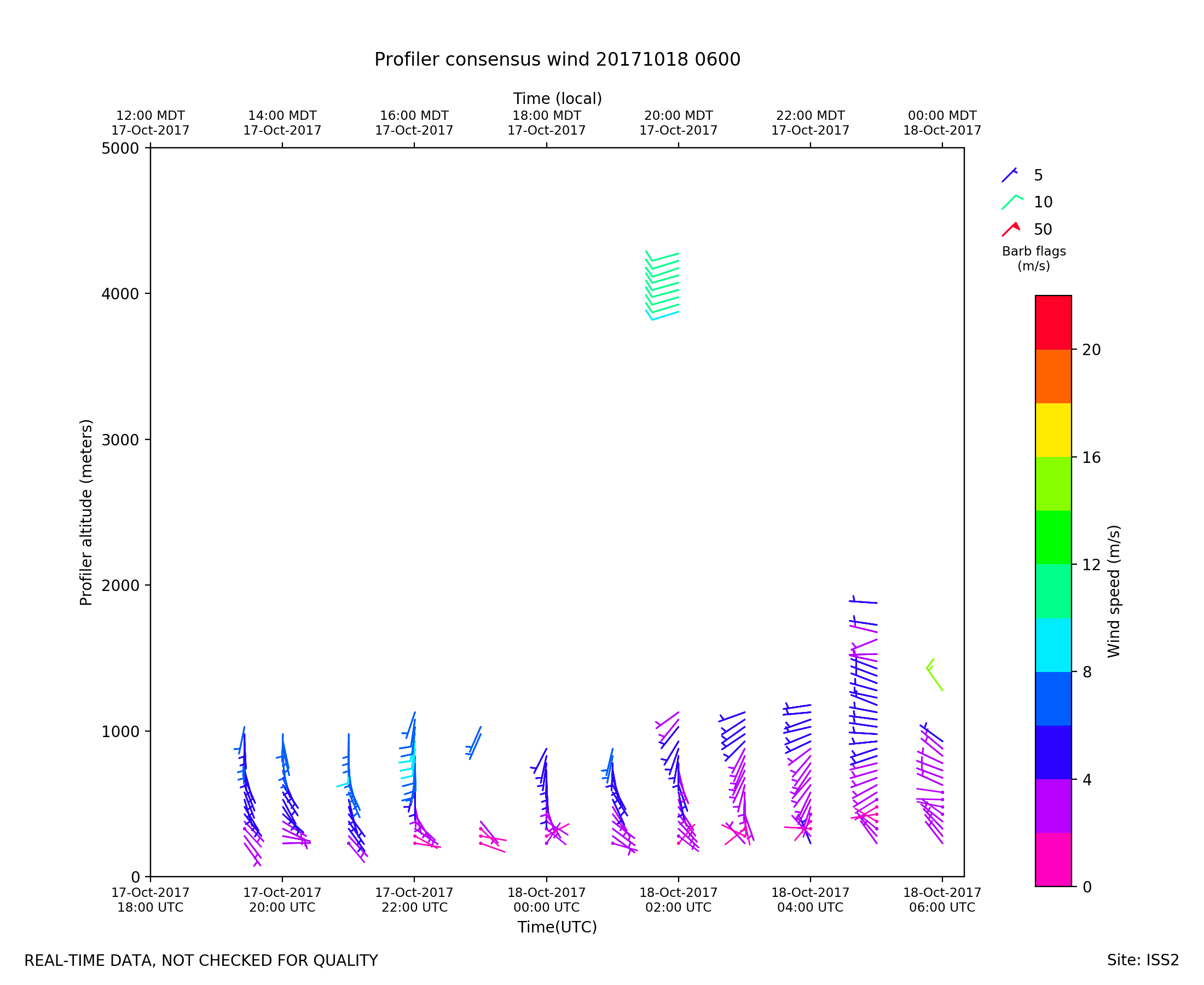
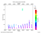
ISS2_Profiler.201710180600.wind...
|
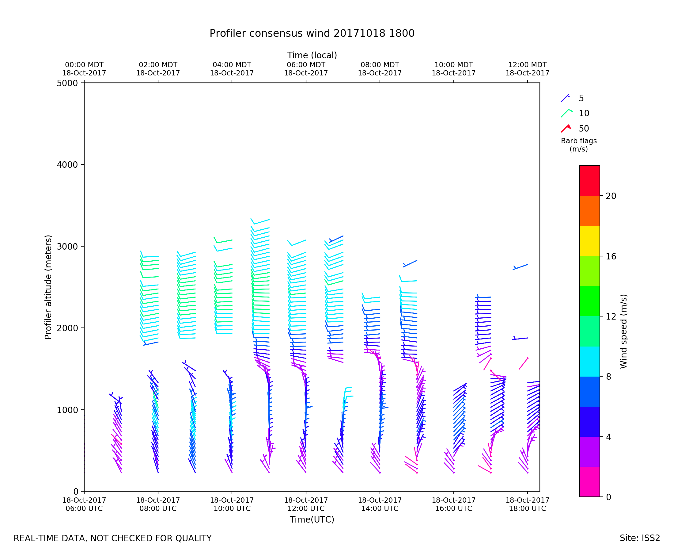
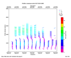
ISS2_Profiler.201710181800.wind...
|
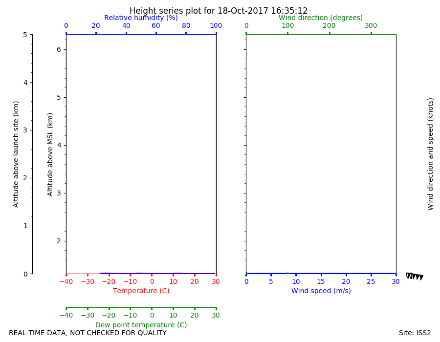
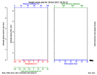
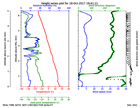
ISS2_Sonde.201710181635.height_...
|
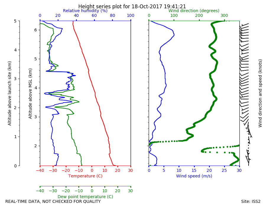
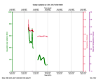
ISS2_Sonde.201710181941.height_...
|
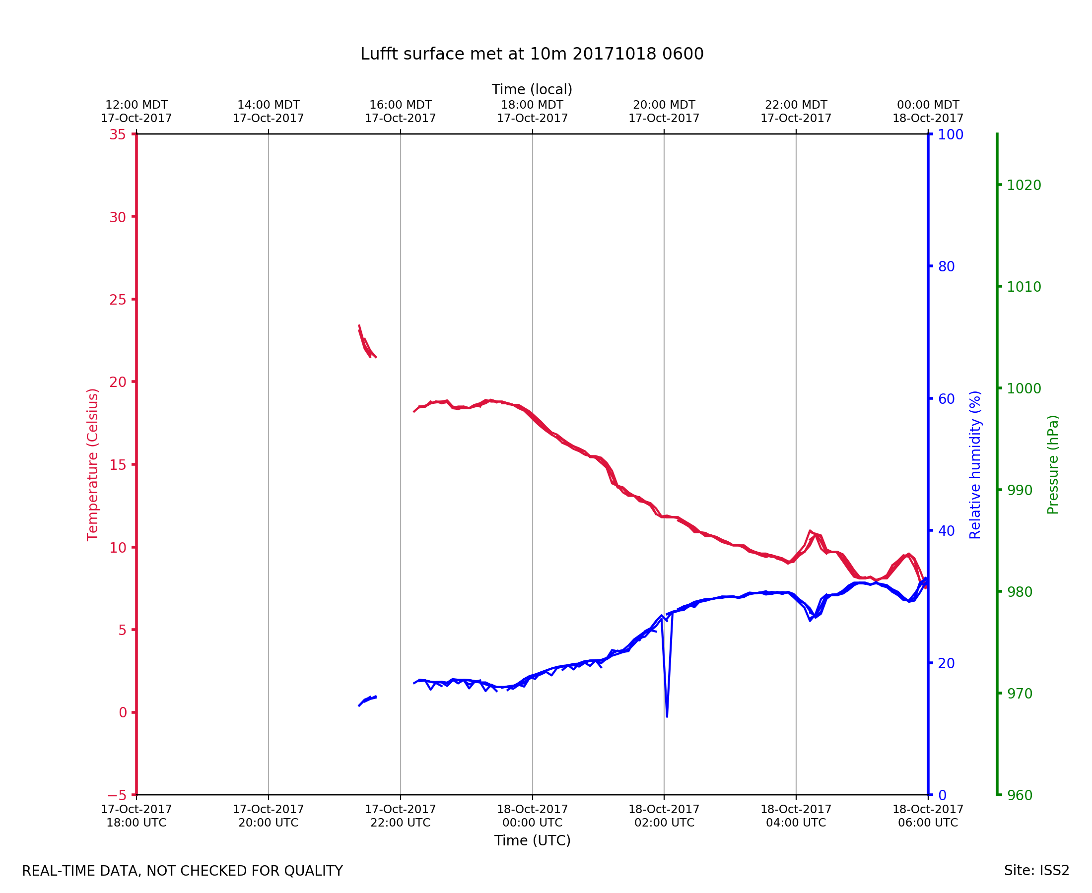
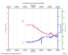
ISS2_Surface10m.201710180600.pt...
|
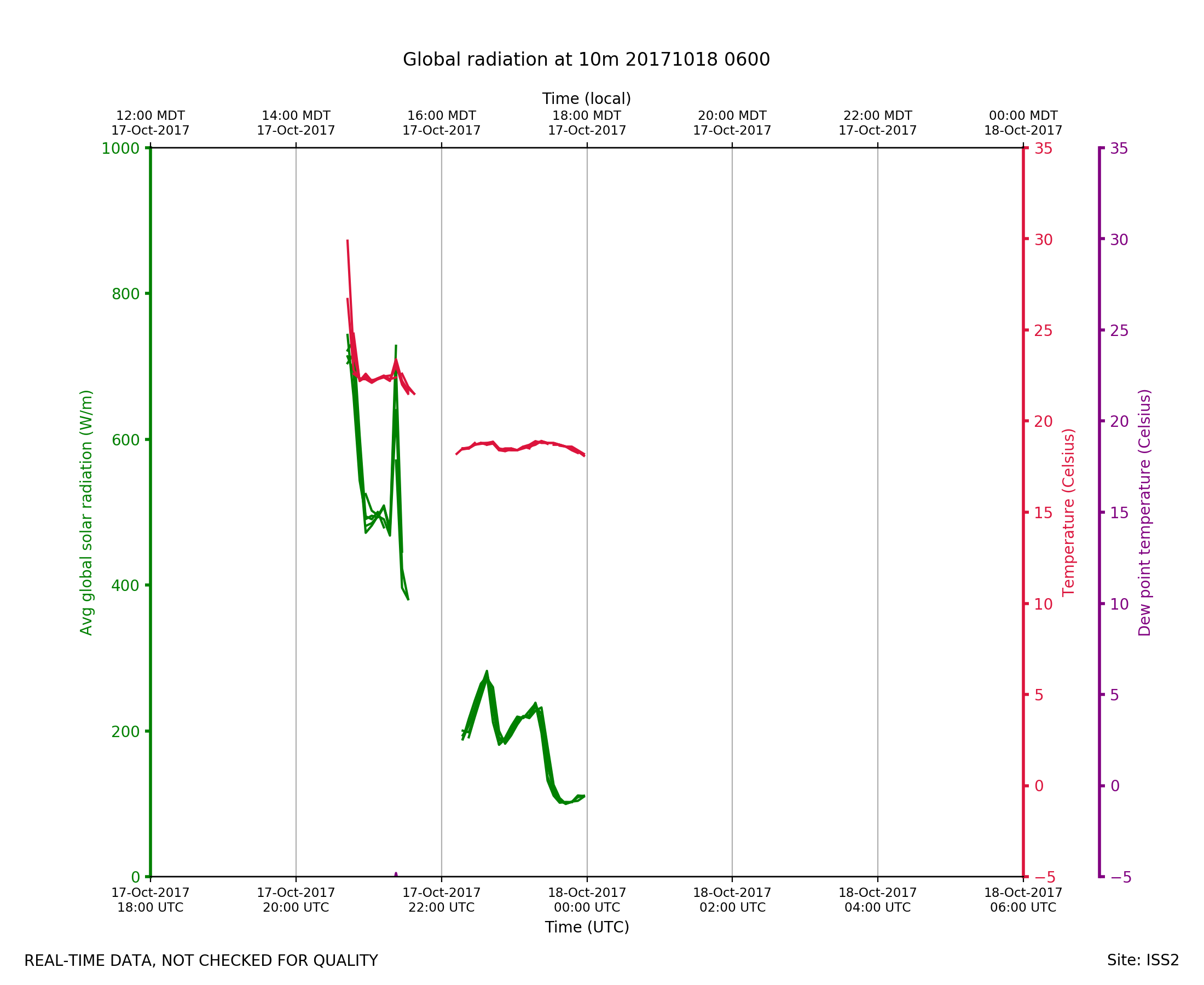
ISS2_Surface10m.201710180600.ra...
|
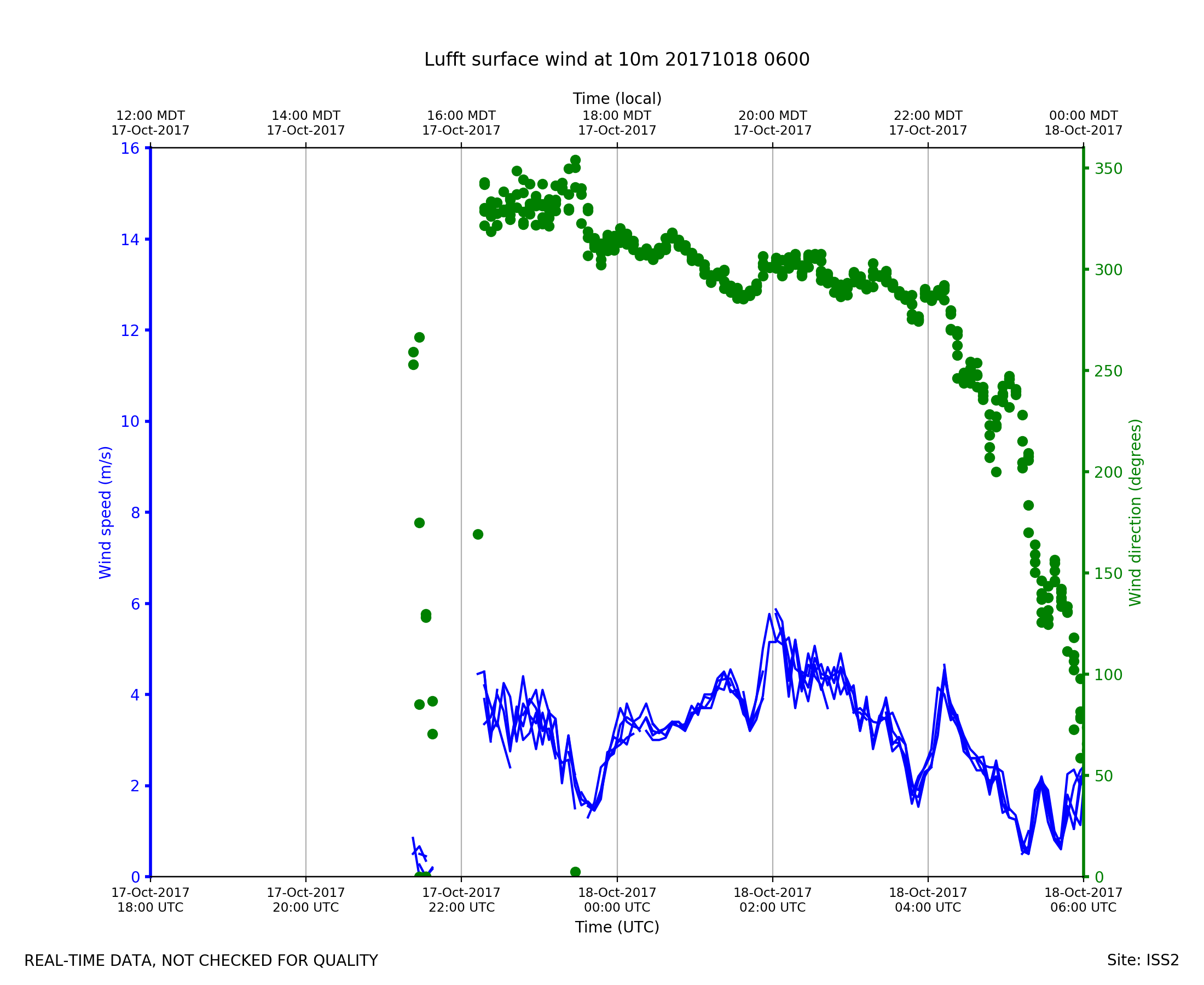
ISS2_Surface10m.201710180600.wi...

|
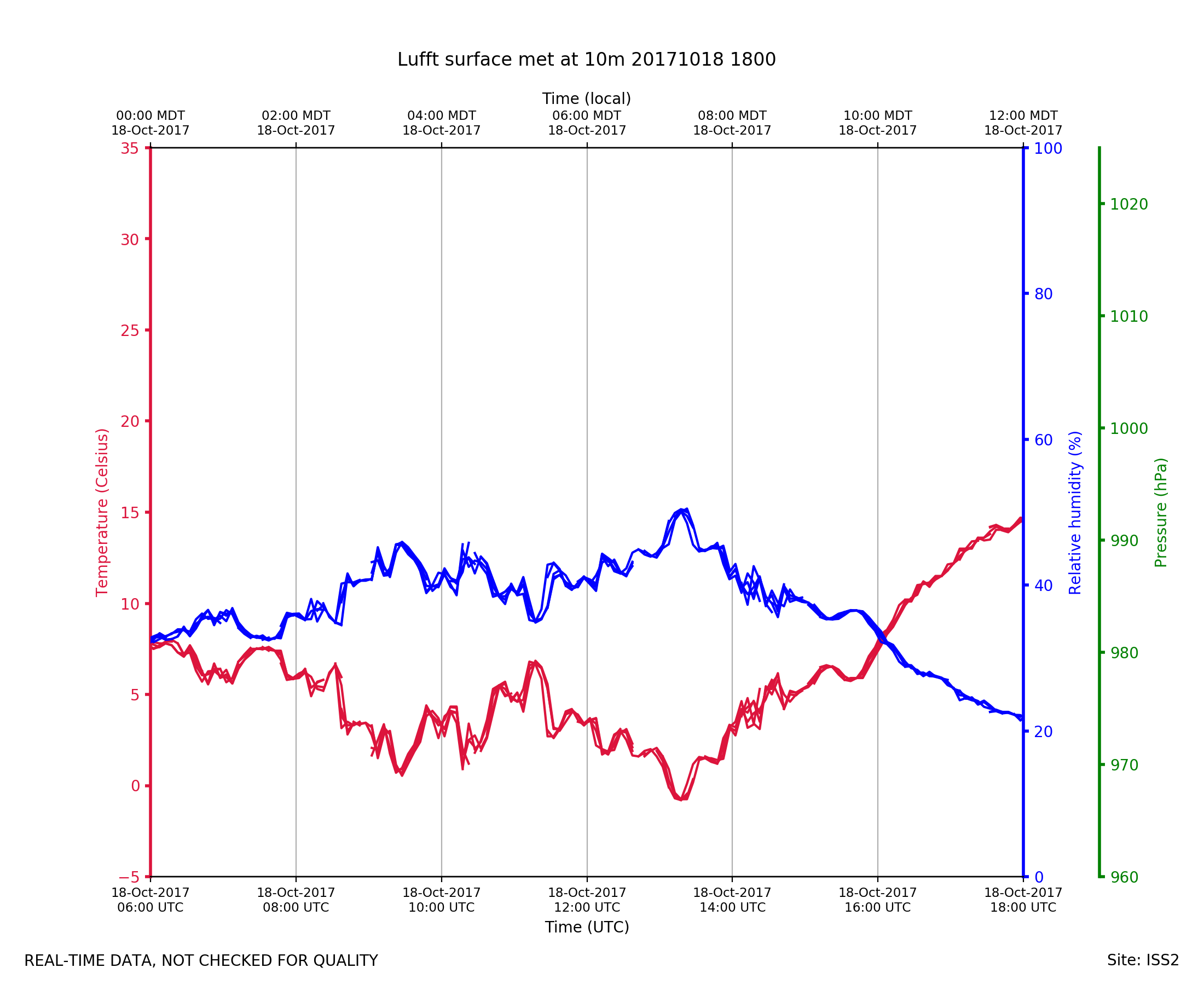
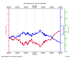
ISS2_Surface10m.201710181800.pt...
|
ISS2_Surface10m.201710181800.ra...

|
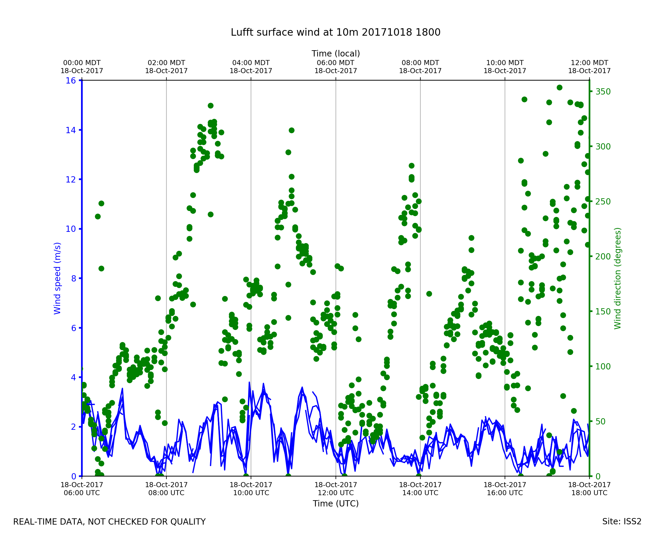
ISS2_Surface10m.201710181800.wi...

|
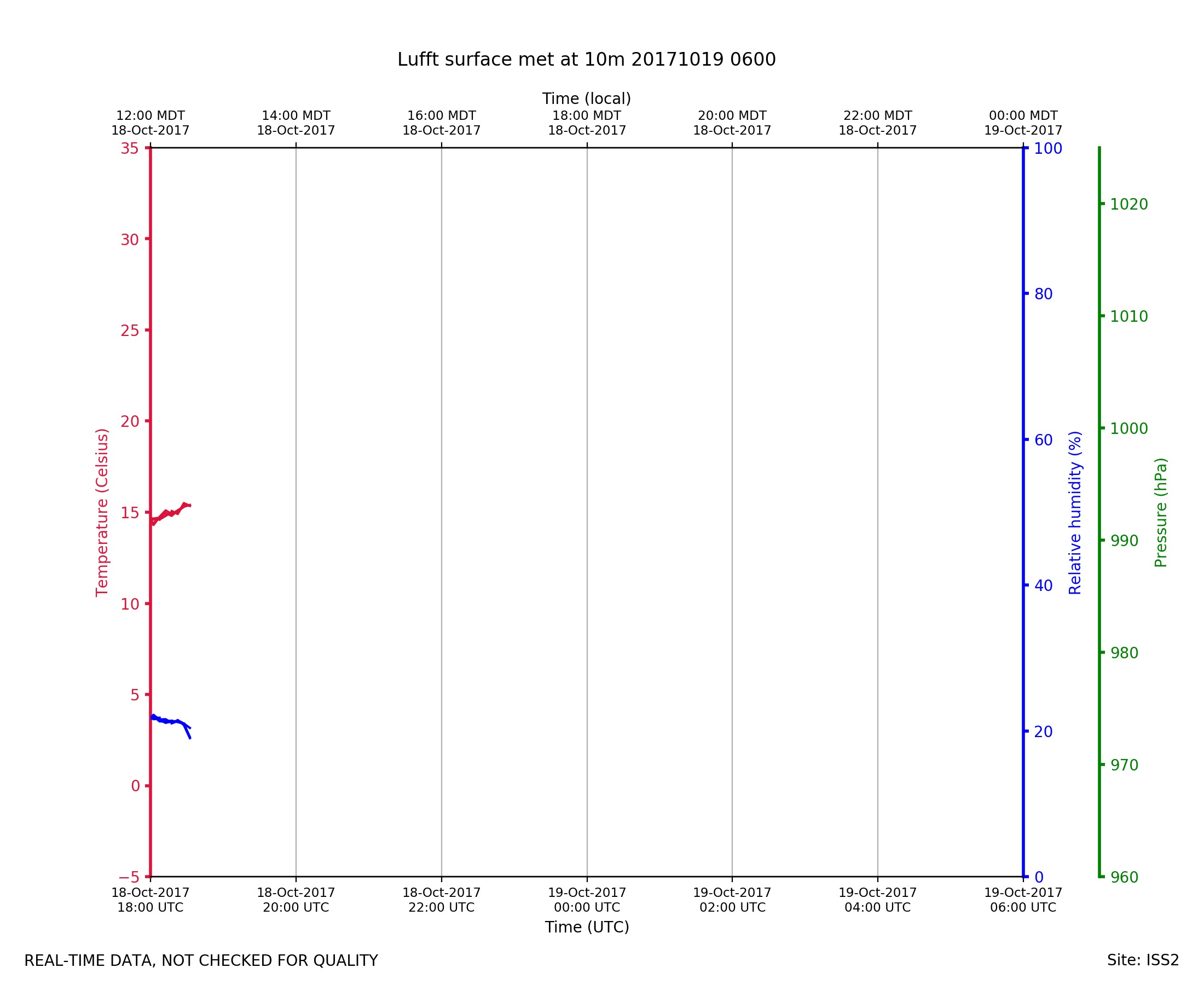
ISS2_Surface10m.201710190600.pt...
|
ISS2_Surface10m.201710190600.ra...
|
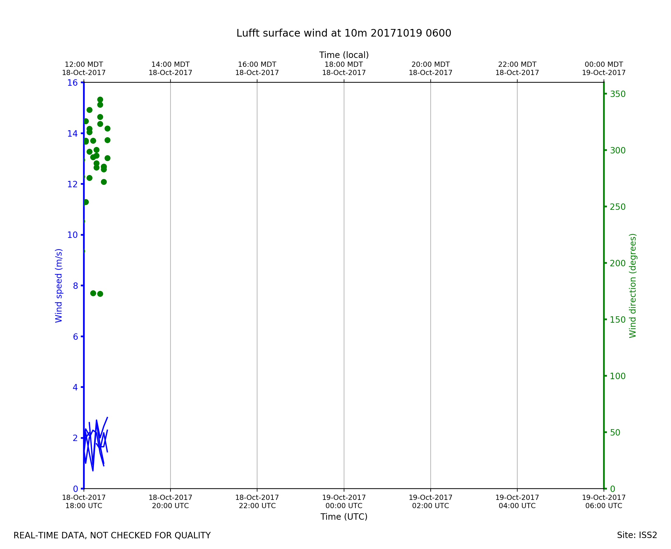
ISS2_Surface10m.201710190600.wi...

|
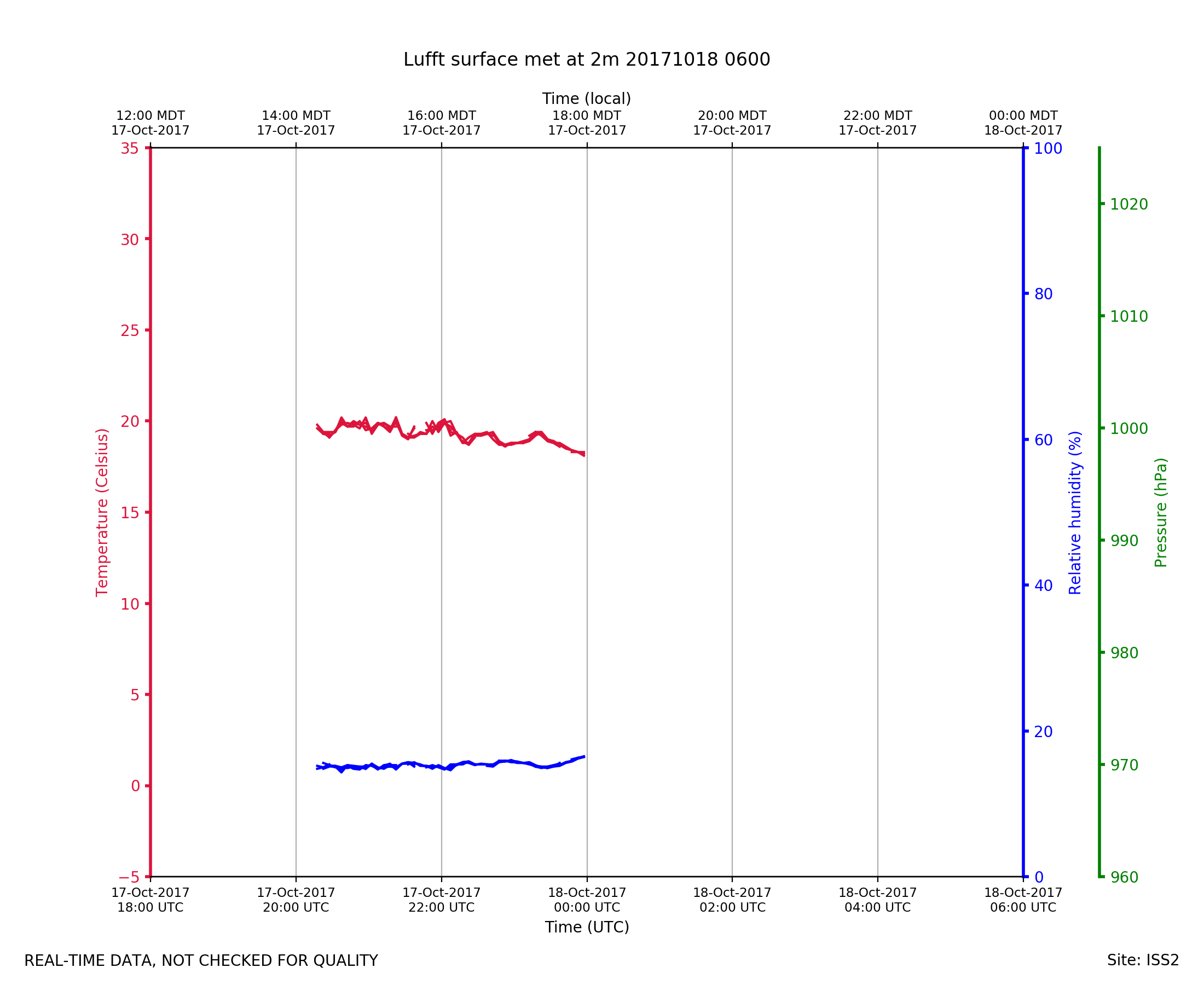
ISS2_Surface2m.201710180600.pth
|
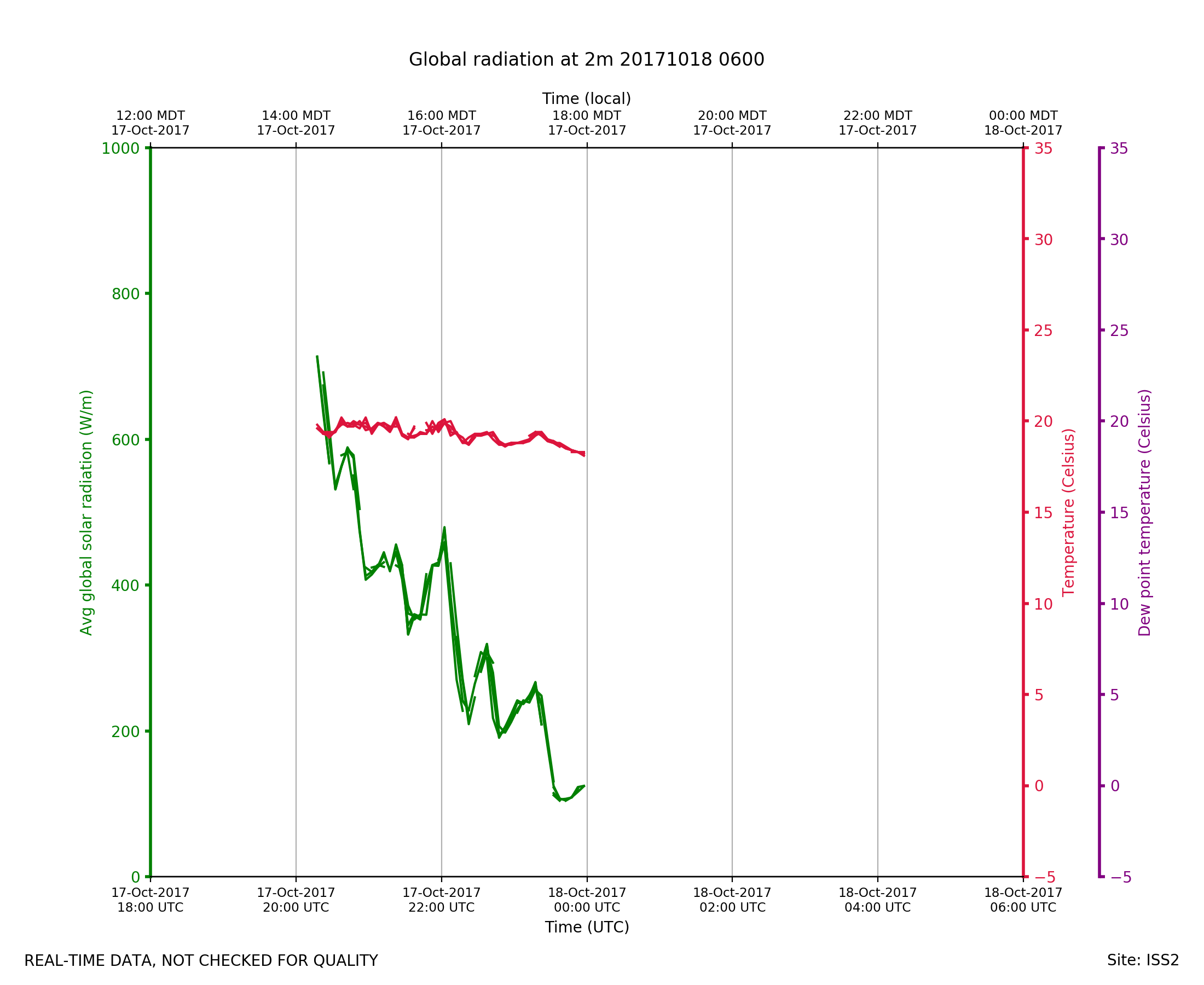
ISS2_Surface2m.201710180600.rad...
|
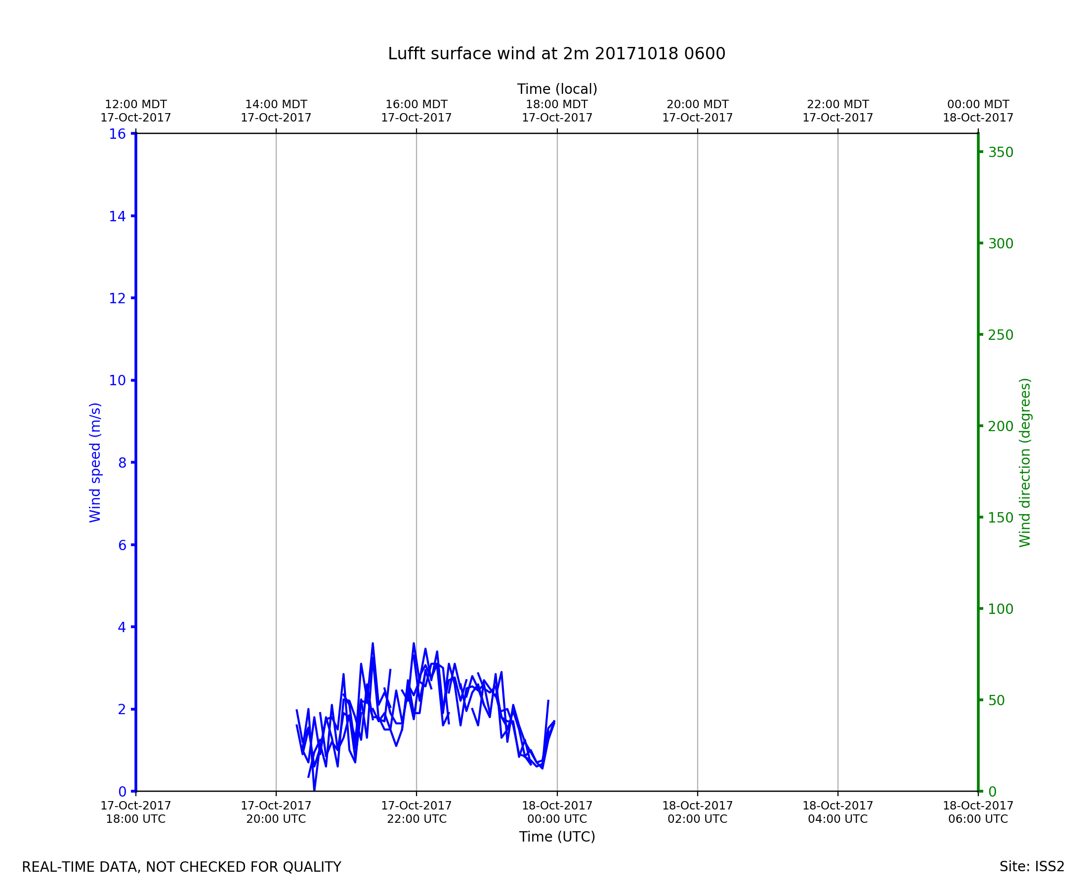
ISS2_Surface2m.201710180600.win...
|
ISS2_Surface2m.201710181800.pth
|
ISS2_Surface2m.201710181800.rad...

|
ISS2_Surface2m.201710181800.win...
|
ISS2_Surface2m.201710190600.pth

|
ISS2_Surface2m.201710190600.rad...

|
ISS2_Surface2m.201710190600.win...

|