| |
Click on the maps for larger image |
| |
|
| Regional Surface Meteorological Networks |
| |
|
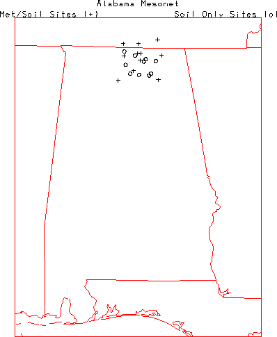
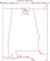
| Alabama Mesonet - The Alabama A&M University operates this network of
11 combination meteorological and soil stations (8 in Alabama). The
combination stations are included within the USDA/NRCS Soil Climate Analysis Network.
See that description below. There are also a number of soil profile
only stations and for that description see below.
For further information visit the
ALMNet home page. |
 |
| |
|
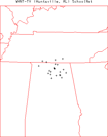
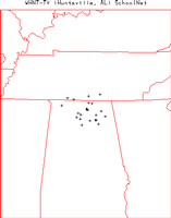
| WHNT WeatherNet
- WHNT-TV in Huntsville, Alabama operates this network of 22 stations located
primarily at schools throughout northern Alabama and southern Tennessee
(18 in Alabama). The
network provides up to 1-minute observations of air temperature, relative
humidity, wind speed, wind direction, precipitation, and barometric pressure.
For further information visit the
WHNT
network page. |
 |
| |
|
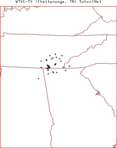
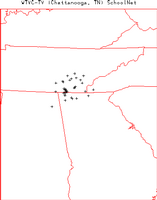
| WTVC WeatherNet
- WTVC-TV in Chattanooga, Tennessee operates this network of 36 stations located
primarily at schools throughout southern Tennessee and norther Georgia
(1 in Alabama). The
network provides up to 1-minute observations of air temperature, relative
humidity, wind speed, wind direction, precipitation, and barometric pressure.
For further information visit the
WTVC
network page. |
 |
| WEAR WeatherNet
- WEAR-TV in Pensacola, Florida operates this network of 31 stations located
primarily at schools throughout Florida, and Southern Alabama (8 in Alabama). The
network provides up to 1-minute observations of air temperature, relative
humidity, wind speed, wind direction, precipitation, and barometric pressure.
For further information visit the
WEAR network page. |
No map yet. |
| |
|
| State and Local Surface Meteorological Networks |
| |
|
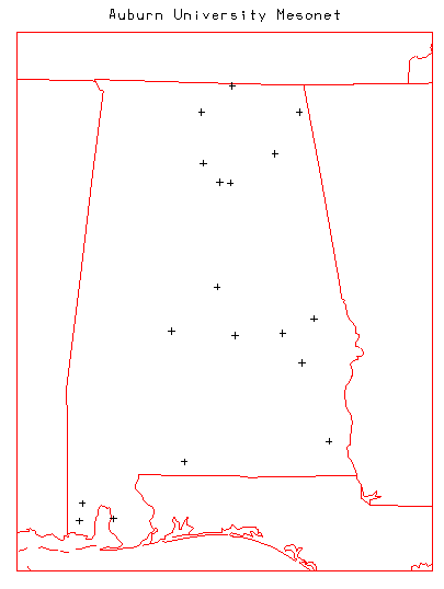
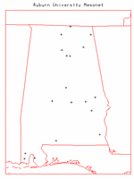
| Auburn University Mesonet - Auburn University operates this network of
19 stations at locations throughout the state of Alabama. The network provides hourly
observations of air temperature, dew point, wet bulb temperature, relative humidity,
precipitation, soil temperature at 4 inches depth, vegetative wetting, solar radiation,
wind speed, wind direction, and wind gust. Further information at:
http://www.awis.com/mesonet/. |
 |
| |
|
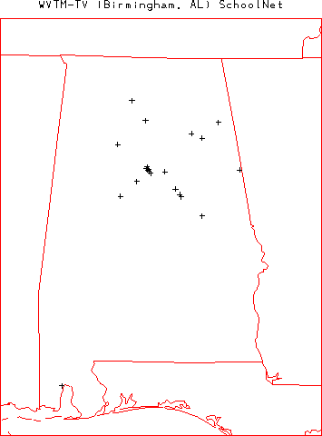
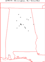
| WVTM WeatherNet
- WVTM-TV in Birmingham, Alabama operates this network of 21 stations located
primarily at schools throughout northern Alabama. The
network provides up to 1-minute observations of air temperature, relative
humidity, wind speed, wind direction, precipitation, and barometric pressure.
For further information visit the
WVTM
network page. |
 |
| |
|
| Precipitation and Radar Networks |
| |
|
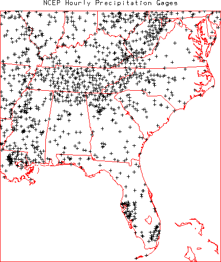
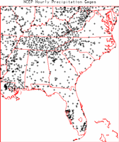
| NOAA/National Centers for Environmental
Prediction (NCEP) Hourly Precipitation Data - NOAA/NCEP routinely develops
a National Multi-sensor Hourly Precipitation Analysis (Stage II) data set from
hourly radar precipitation estimates and from hourly gage reports. The gage data
includes hourly observations from ~4000 gages across the US (70 in Alabama)
collected by the NOAA River Forecast Centers and sent to NCEP. Further information
on these data is available at:
http://wwwt.emc.ncep.noaa.gov/mmb/ylin/pcpanl/. |
 |
| |
|
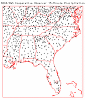
| NOAA/NWS Cooperative Observer 15-minute Precipitation Network - The
NOAA/NWS routinely collects 15-minute observations of precipitation from Fisher-Porter
and Universal rain gages operated by 2777 cooperative observers located throughout the
US (38 in Alabama). These data are archived at NOAA/NCDC as data set TD 3260. For
further information visit the NOAA/NCDC TD3260 page at:
http://ols.nndc.noaa.gov/plolstore/plsql/olstore.prodspecific?prodnum=C00505-TAP-A0001 |
 |
| |
|
| Cooperative Huntsville Area Rainfall Measurements (CHARM) Network -
The CHARM network is comprised of volunteers who take daily rainfall measurements in
the morning. The network also incorporates automated NWS and USGS raingages in the
region. The network includes approximately 150 raingage locations throughout the
Huntsville, Alabama area. For further information, including a map of gage locations
visit the CHARM home page at:
http://wwwghcc.msfc.nasa.gov/charm/. |
No map. |
| |
|
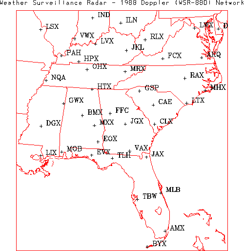
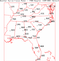
| Weather Surveillance Radar 1988 Doppler (WSR-88D)
Network - The NOAA/NWS and the Department of Defense operate this network
of 143 WSR-88D radars across the contiguous US (4 in Alabama). The Level II
data are the three meteorological base data quantities (reflectivity, mean radial
velocity, and spectrum width) and are recorded at all NWS and most DOD sites.
Level II data are then processed in order to create a number of meteorological analysis
products known as Level III data. Level III data are recorded at the NWS sites. The
Level III products included base reflectivity, base spectrum width, base velocity,
composite reflectivity, echo tops, velocity azimuth display (VAD) wind profile,
vertically integrated liquid (VIL), 1-hour precipitation, storm total precipitation,
hail index overlay, mesocyclone overlay, severe weather probability overlay, storm
structure, storm tracking information overlay, and tornadic vortex signature overlay.
All Level II and III data are archived at NOAA/NCDC. For further information visit
the NOAA/NCDC Radar Resources page at:
http://www.ncdc.noaa.gov/oa/radar/radarresources.html or the NOAA Radar
Operations Center at:
http://www.roc.noaa.gov/. |
 |
| |
|
| Radiation and Flux Networks |
| |
|
| None at present. |
|
| |
|
| Soil Networks |
| |
|
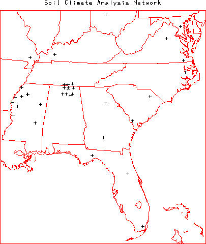
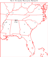
| Soil Climate Analysis Network (SCAN) - The SCAN is operated by the
United States Department of Agriculture (USDA) Natural Resources Conservation Service
(NRCS). The network provides hourly observations of air temperature, relative humidity,
wind speed, wind direction, solar radiation, precipitation, barometric pressure, snow
water content, snow depth, soil temperature (at 2, 4, 8, 20, and 40 cm depths), and soil
moisture (at 2, 4, 8, 20 and 40 cm depths). The 80 SCAN stations are located across the
US in primarily agricultural regions (8 in Alabama). For further information visit the
SCAN home page. |
 |
| |
|
| Alabama Mesonet - The Alabama A&M University (AAMU) operates this network of
11 combination meteorological and soil stations (8 in Alabama) and 10 soil profile
only stations (all in Alabama). The combination stations are included within the
USDA/NRCS Soil Climate Analysis Network. See that description above.
The soil profile only stations currently provide soil moisture measurements at 4, 8,
12, 16, 24, and 40 inch depths and gage precipitation. Additional sensors
(soil temperature and heat flux) have not yet been activated. These data are logged
every 15 minutes and are manually downloaded very three weeks. At this time these data
are private to AAMU. For further information regarding these data please contact
Dr. Teferi Tsegaye (NOTE: To send the email
please remove the "nospam" from the address).
For further information visit the
Alabama Mesonet home page. |
|
| |
|
| Hydrology Networks |
| |
|
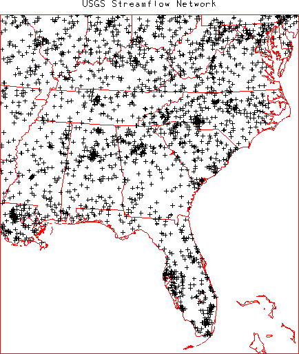
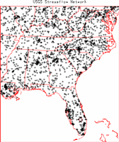
| United States Geological Survey (USGS) Streamflow
Network - The USGS (part of the US Department of the Interior) operates this
network of 7237 streamflow gages (175 in Alabama) at locations throughout the US.
The network provides hourly or more frequent observations of stage (water level) from
which discharge (flow) is computed using a stage-discharge rating relation. The
rating is defined by occasional direct current-meter measurements of discharge. All
data are available through the USGS and the district offices in each state. Many of
these gages provide realtime data
relayed via the GOES satellite data collection system. The realtime data are
provisional data that have not been reviewed or edited. These realtime data
may be subject to significant change and are not citeable until reviewed and approved
by the USGS. Realtime data may be changed after review because the stage-discharge
relationship may have been affected by: 1) backwater from ice or debris; 2) algal and
aquatic growth in the stream; 3) sediment movement; and 4) malfunction of recording
equipment. Each station record is considered provisional until the data are
published. The data are usually published with 6 months of the end of the water year
(1 October to 30 September). Data users are cautioned to consider carefully the
provisional nature of the information before using it. For further information on the
USGS streamflow network visit the USGS Water Resources of the United States page at:
http://water.usgs.gov/ or the
USGS Alabama District Office home page at:
http://al.water.usgs.gov/. |
 |
| |
|
| Upper Air Networks |
| |
|
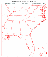
| NOAA/NWS Radiosonde Network Low Vertical Resolution Data - The NOAA/NWS
typically releases radiosondes twice per day at 0000 and 1200 UTC at 69 locations throughout
the US (1 in Alabama). During special weather situations the NWS can request to release
additional radiosondes at off-times (e.g. 1800 UTC). The low resolution data is sent out
over the Global Telecommunications System (GTS) and provides mandatory and significant level
observations of pressure, altitude, temperature, dew point, wind speed, and wind direction.
There are 3 types of radiosondes utilized within the US network, Vaisala, VIZ (or Sippican),
and Microsonde. These data are archived by NOAA/NCDC and other organizations. For further
information on the NWS Radiosonde network visit the
NWS Upper-air Observations Program
home page. A several year archive of GTS upper air data is available at the
NOAA/FSL Radiosonde Database. |
 |
| |
|
| NOAA/NWS Radiosonde Network High Vertical Resolution Data - The same
radiosonde locations mentioned in the previous data set also provide a 6-second vertical
resolution data set that provides observations of pressure, temperature, altitude,
relative humidity, and azimuth and elevation angles. UCAR/JOSS has developed software
to derive 6-second vertical resolution winds from the angle data. These data are
archived by NCDC and UCAR/JOSS. |
|
| |
|
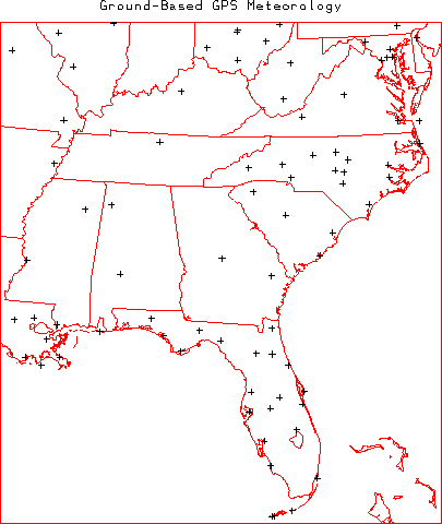
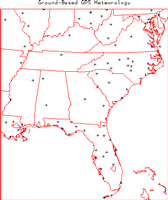
| Ground Based Global Positioning System (GPS) Meteorology Demonstration Network
(GPS-MET) - The NOAA/FSL ingests data from 323 GPS locations around the US
operated by many different agencies (3 in Alabama). Typically each location provides
30-minute observations of integrated precipitatable water along with a number of surface
meteorology parameters (air temperature, relative humidity, barometric pressure, etc).
For further information visit the
GPS-MET home page. |
 |
| |
|
| Aerosol Networks |
| |
|
| Regional East Atmospheric Lidar Mesonet - The Regional East Atmospheric Lidar Mesonet
(REALM) is a proposal by a number of lidar researchers and is designed to monitor air quality in the
vertical from multiple locations on the east coast. For further information visit the
REALM web site. |
Map at web site. |
| |
|
| Coastal Networks |
| |
|
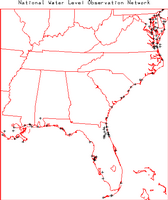
| National Water Level Observation Network (NWLON) - The National
Ocean Service (NOS) Center for Operational Oceanographic Products and Services (CO-OPS)
maintains a long-term database containing water-level
measurements and derived tidal data. NWLON provides water level observations at 318
locations throughout the United States. Some stations provide additional measurements
including air and water temperature, pressure and winds. For additional information
visit the NWLON web page. |
 |