This is a list of MISS (Mobile Integrated Sounding System) sites during the first phase of the PLOWS project. MISS was powered by a generator so operations were not continuous.
| Date (2009) | MAP | Location | Lat, Lon, Alt | Operations |
|---|---|---|---|---|
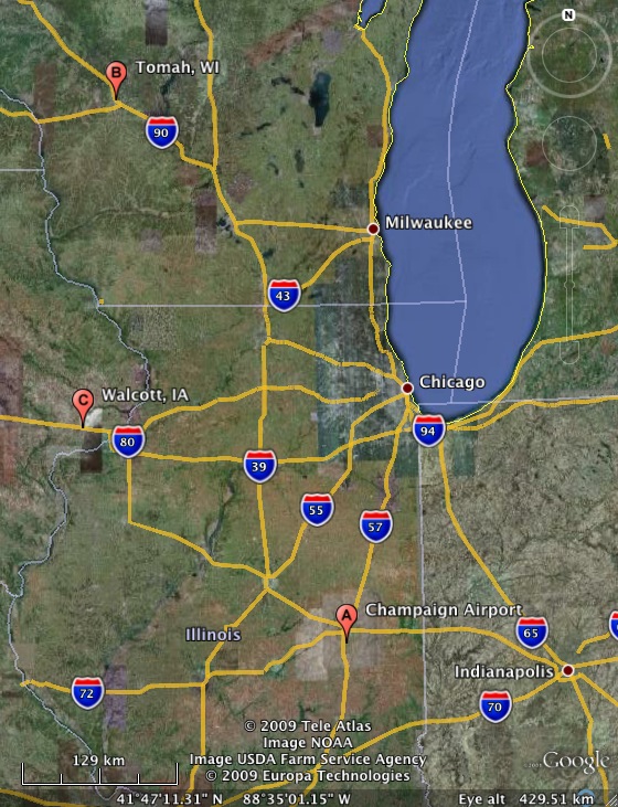
| Feb 23rd 15 UT - Feb 24th 22 UT | A | Champaign Airport, IL | 40° 2' 30" N, 88° 16' 5" W, 230 m | Testing |
| Feb 26th 18 UT - Feb 27th 01 UT | B | Tomah, WI | 44° 1' 18" N, 90° 29' 36" W, 300 m | IOP 3 |
| Feb 28th 20 UT - Mar 1st 21 UT | A | Champaign Airport, IL | 40° 2' 24" N, 88° 16' 10" W, 230 m | Testing |
| Mar 7th 22 UT - Mar 9th 21 UT | C | Walcott, IA | 41° 37' 6" N, 90° 47' 5" W, 245 m | IOP 4 |